Title / Subject: 'Europa, Asia, & Africa' / map of the Eastern hemisphere
Date: 1731
Size: the printed area measures approximately 180mm x 185mm with margins beyond; blank verso.
Description: a copper-plate engraved map of the eastern hemisphere. It is printed on hand-laid paper with the continents and some regions identified. The Great Wall of China and a partial Australian coastline are shown.
Cartographer / engraver: Cellarius / likely engraved by John Senex
Provenance: 'Christophori Cellarii smalcaldensis Geographia Antiqua Recognita denuo, & ad veterum novorumque scriptorum fidem, historicum maxime, identidem castigata ...', published by Samuel Patrick, London, 1731
Condition: Very good condition. Two vertical folds, as published. Please study all the photographs carefully to fully appreciate the condition.
John Senex (1678 in Ludlow, Shropshire – 1740 in London) was an English cartographer, engraver and explorer. He was one of the principal cartographers of the 18th century. He started his apprenticeship with Robert Clavell, at the Stationers Company, in 1692. Senex is famous for his maps of the world, some of which have added elevations, and which feature minuscule detailed engravings. Many of these maps can be found in museum collections; rarely, copies are available for private sale. Some copies are held in the National Maritime Museum; many of his maps are now in the possession of Trinity College Dublin.
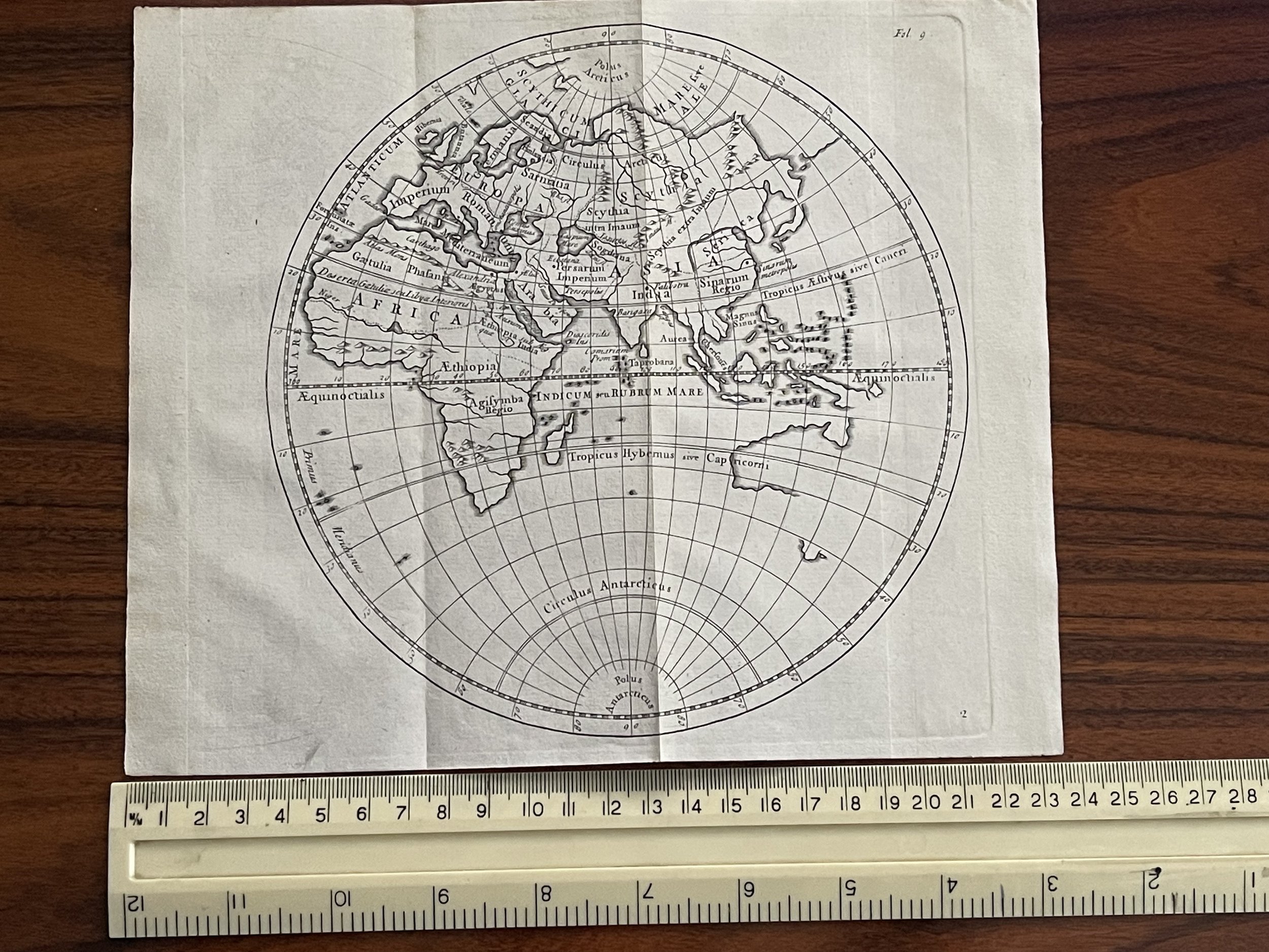 Image 1 of 6
 Image 2 of 6
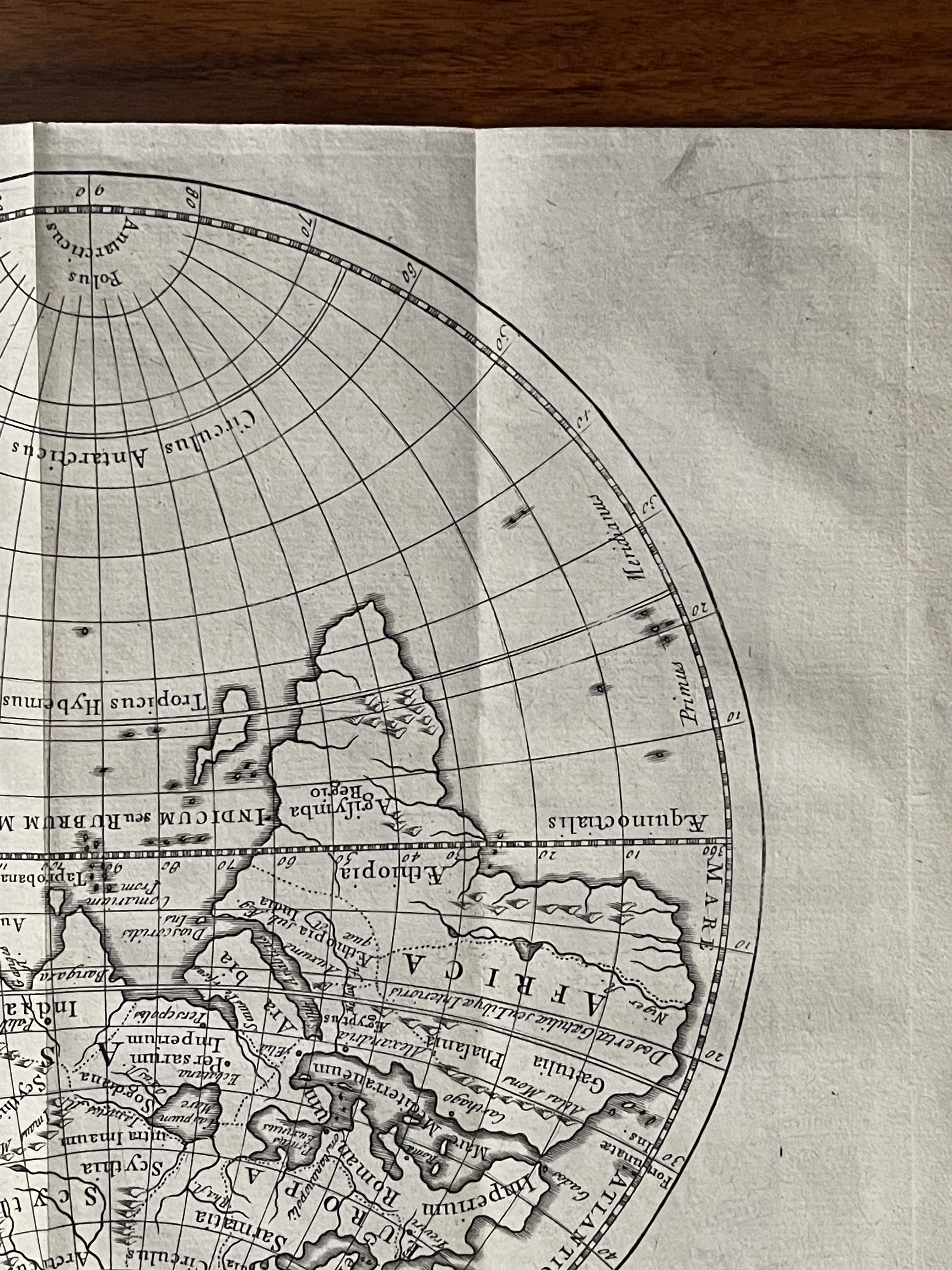 Image 3 of 6
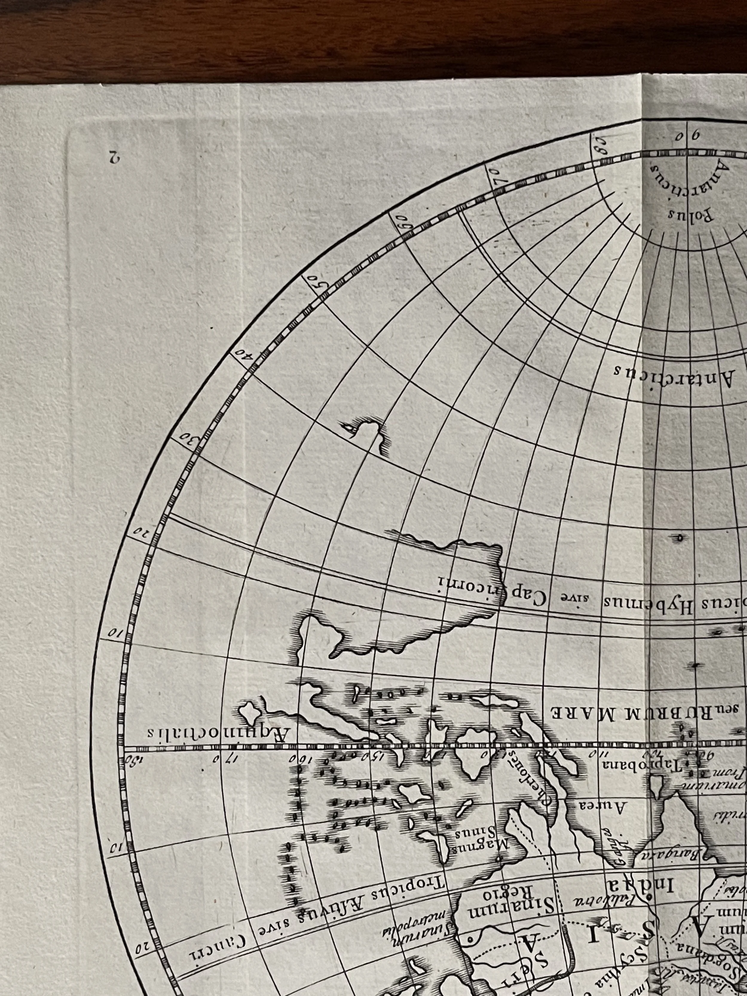 Image 4 of 6
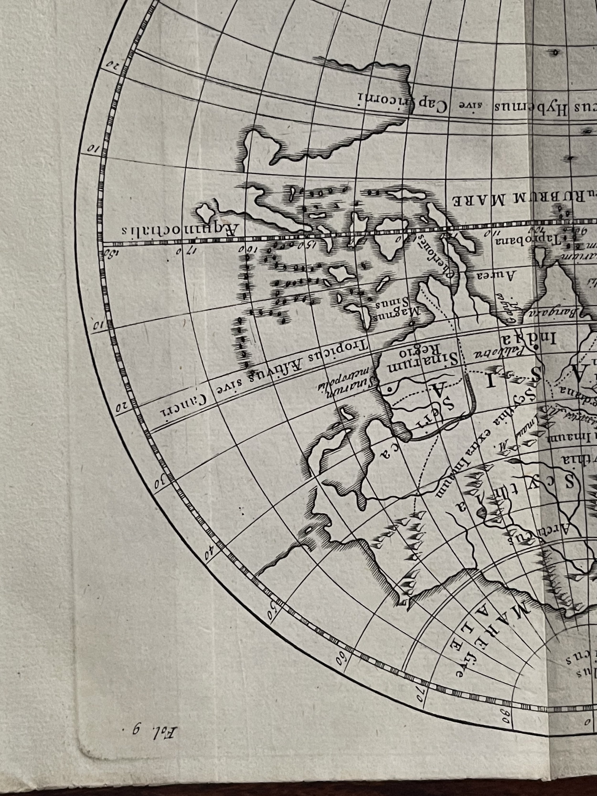 Image 5 of 6
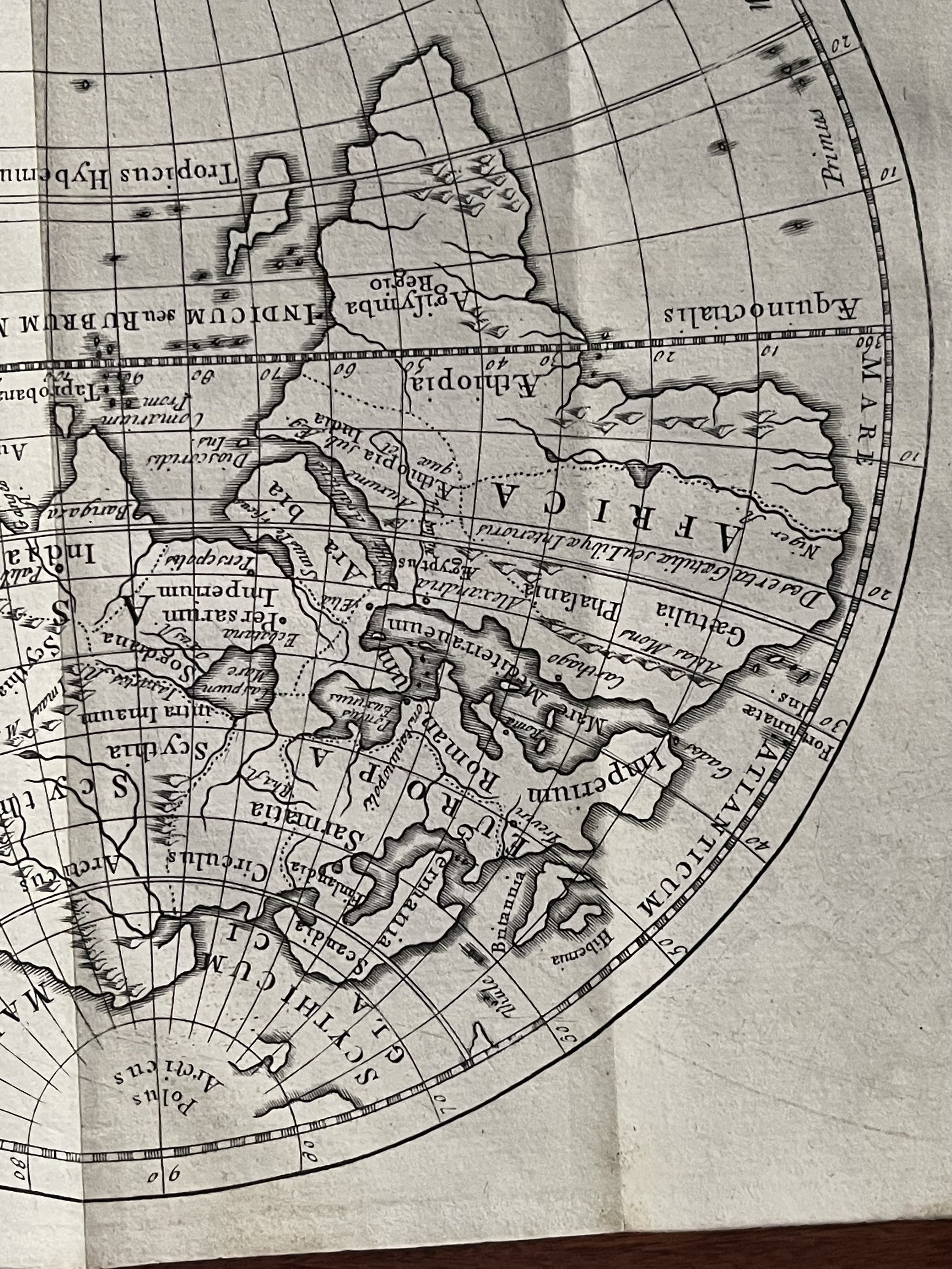 Image 6 of 6