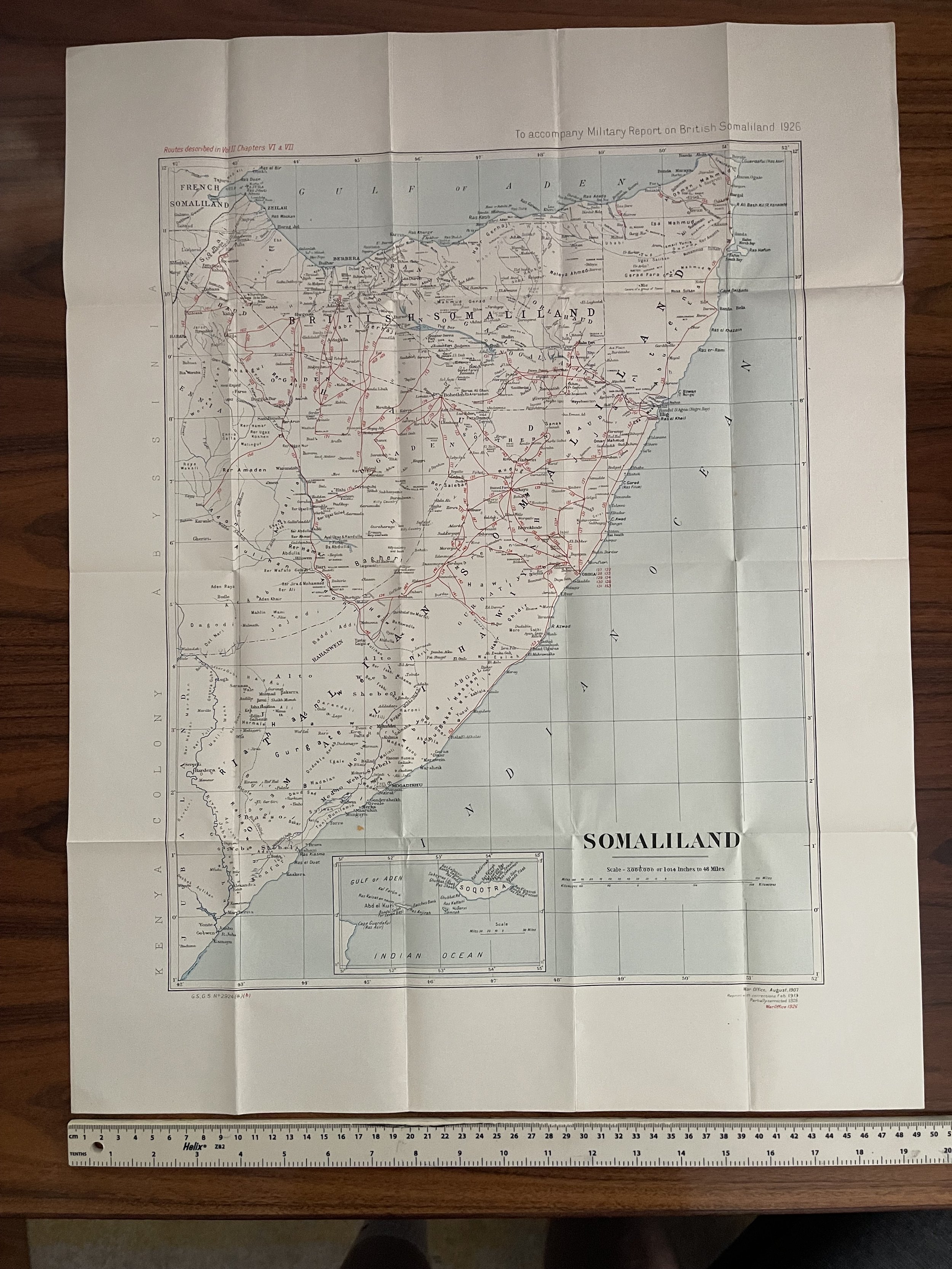
 Image 1 of 5
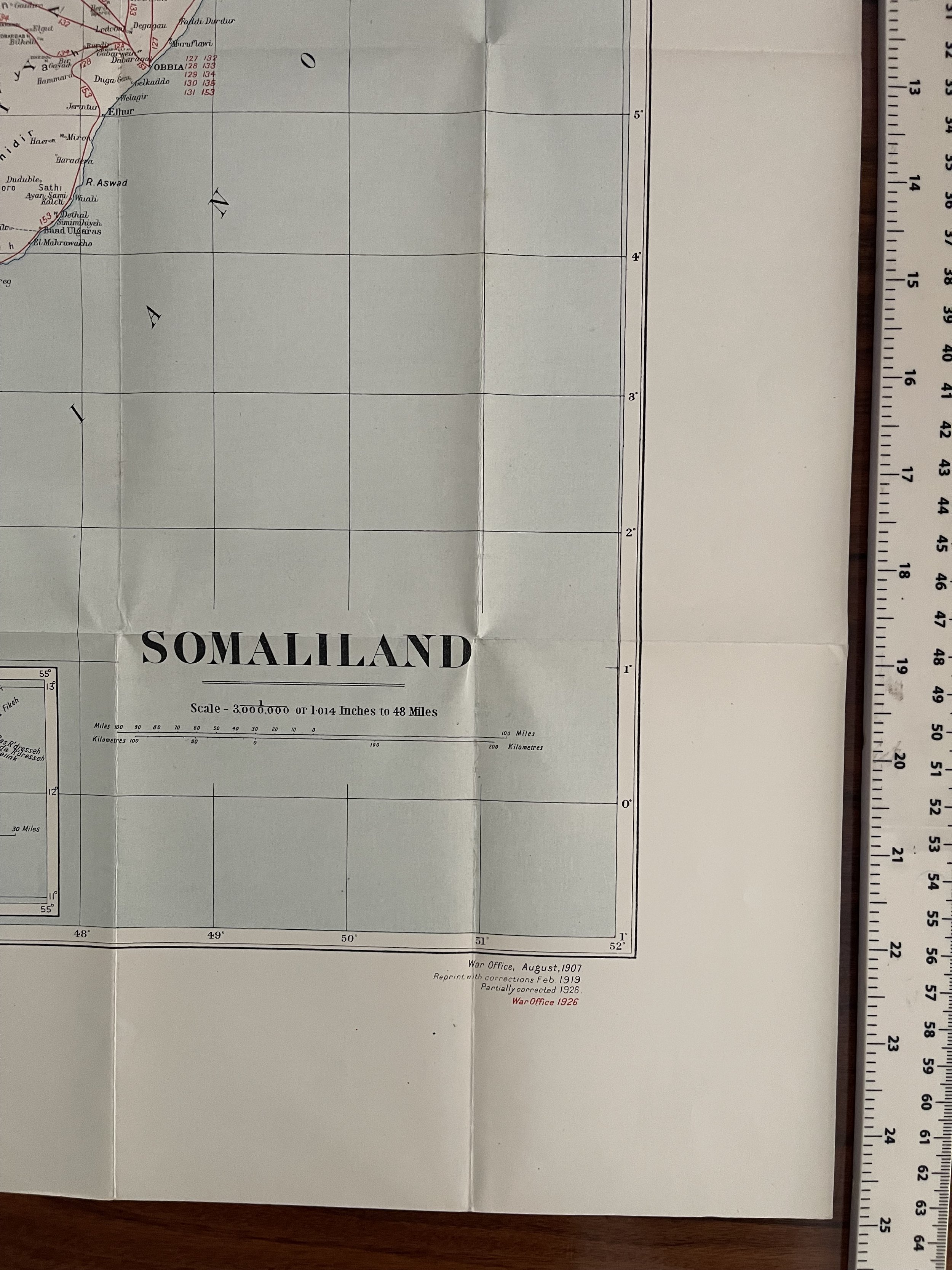 Image 2 of 5
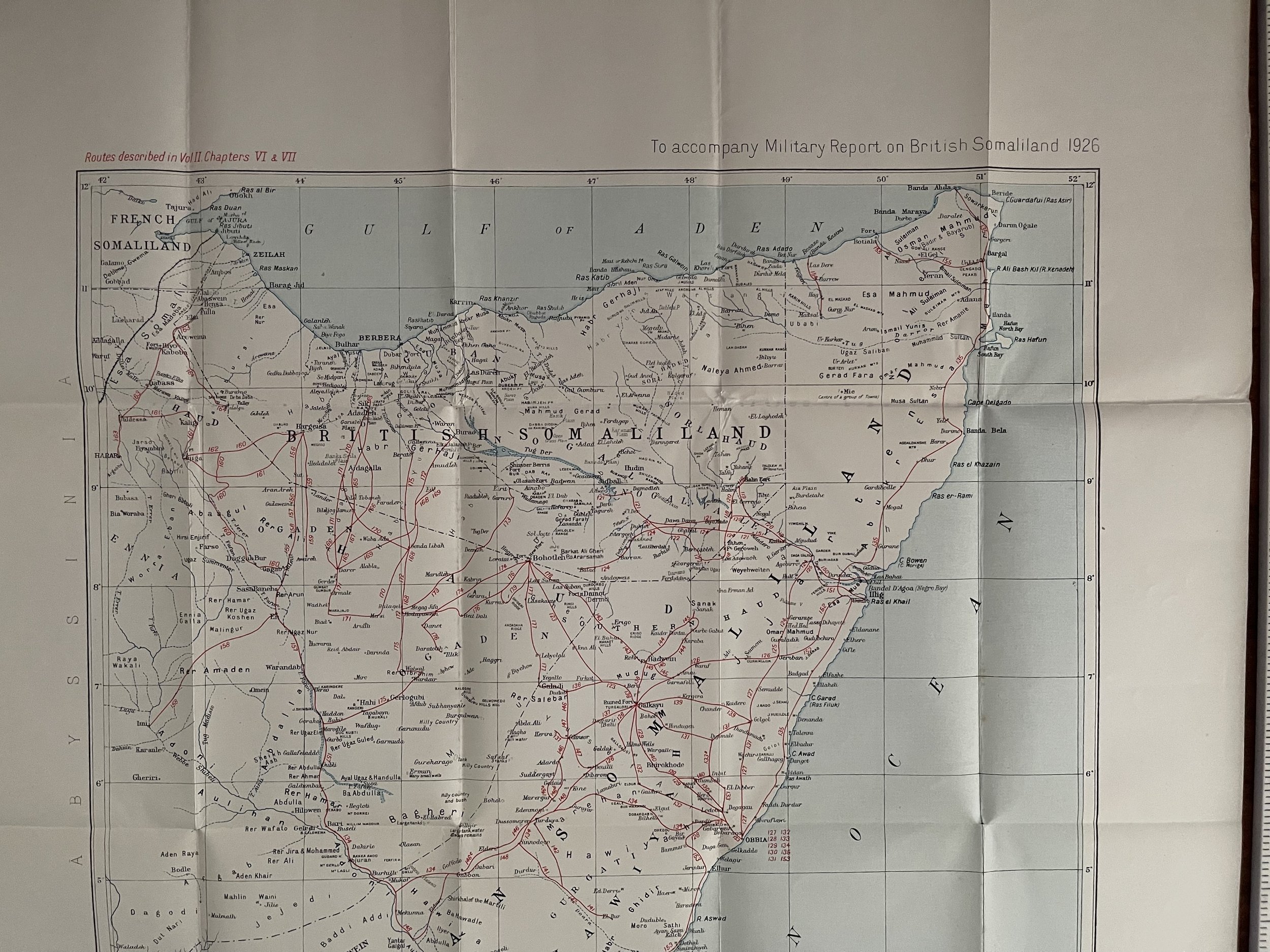 Image 3 of 5
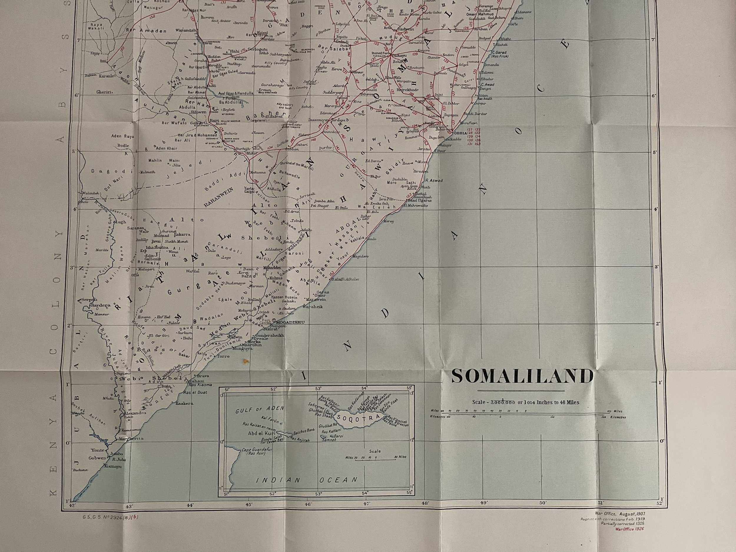 Image 4 of 5
 Image 5 of 5
Code : A794
Cartographer : Cartographer / Engraver / Publisher: Creator: Great Britain. Foreign Office. Historical Section.
Date : Publication Place / Date - London 1926
Size : Sheet size: 49.5 x 63 cm
Availability : Available
Type - 98 years old - Vintage - Almost Genuine Antique
Grading - A+
Tracked postage, in tubular casement. Please contact me for postal quotation outside of the UK.