 Image 1 of 35

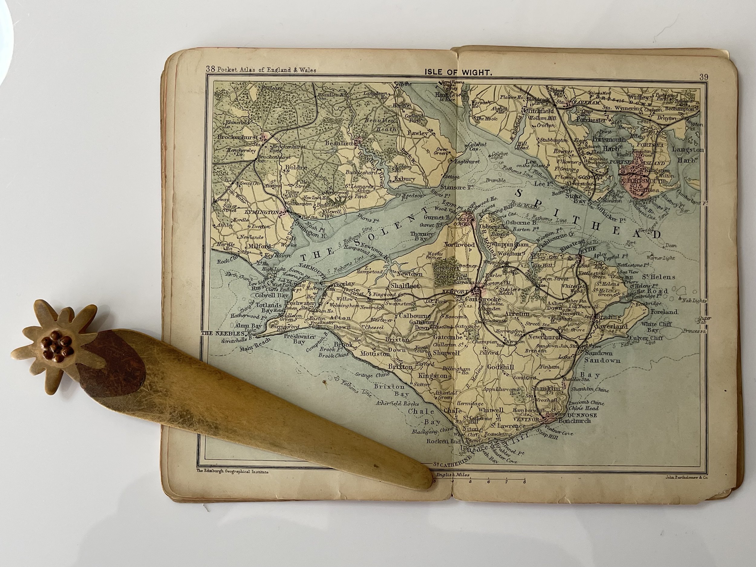 Image 2 of 35

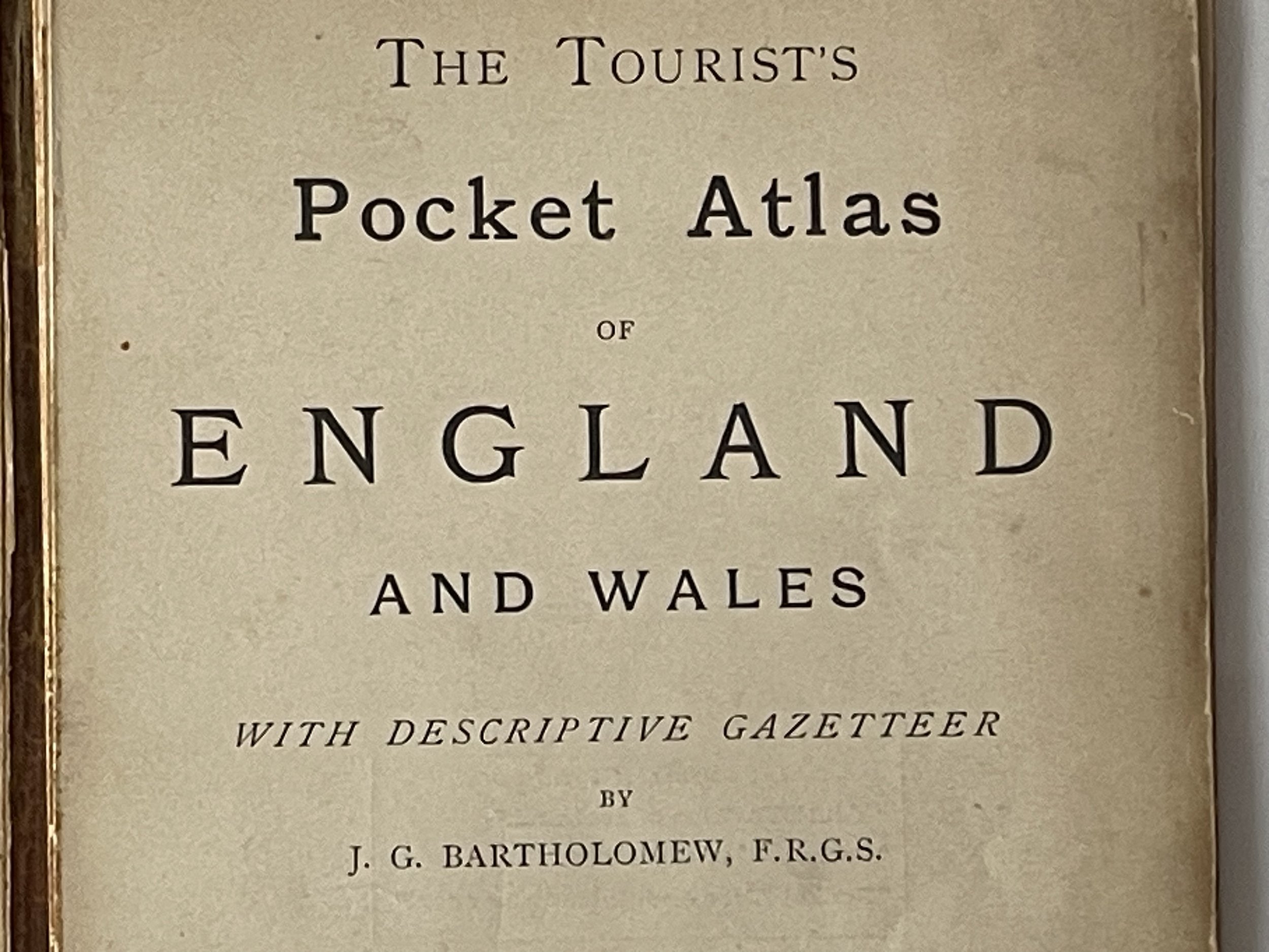 Image 3 of 35

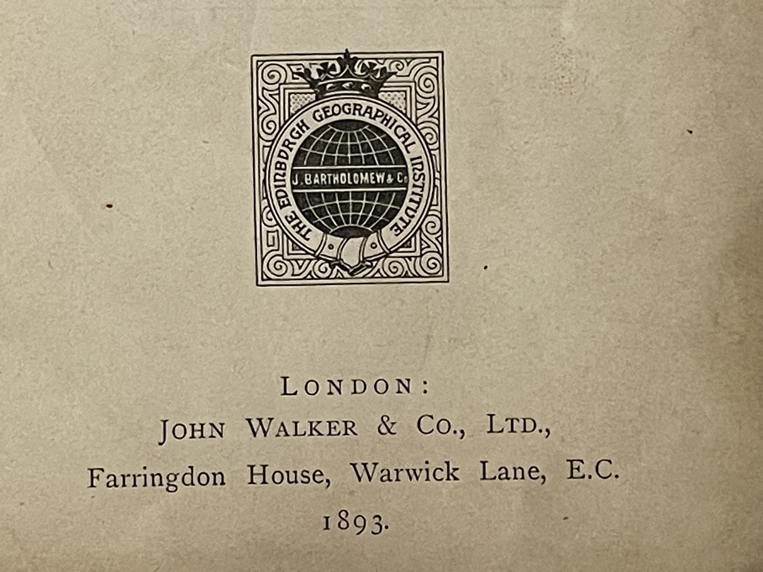 Image 4 of 35

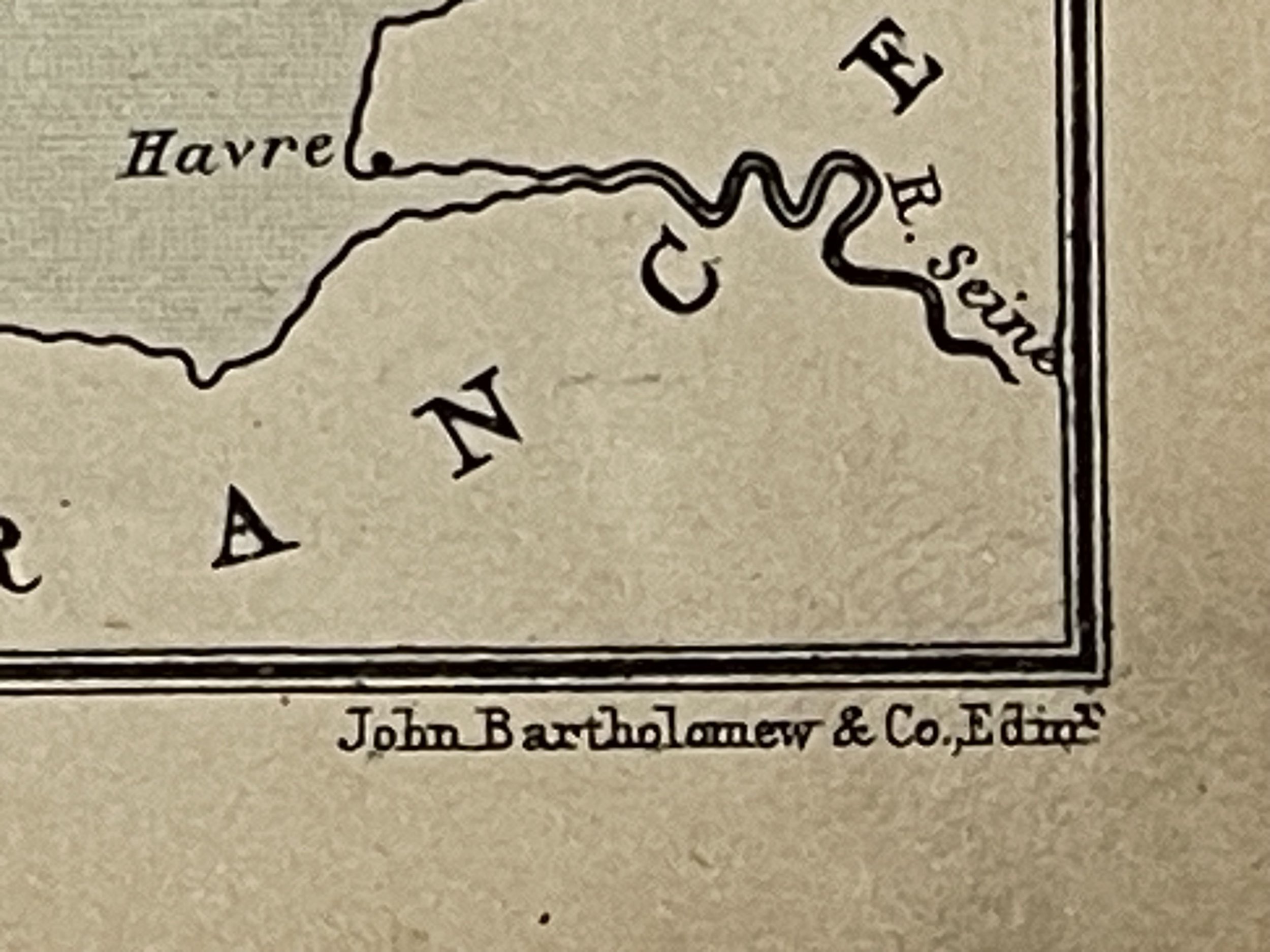 Image 5 of 35

 Image 6 of 35

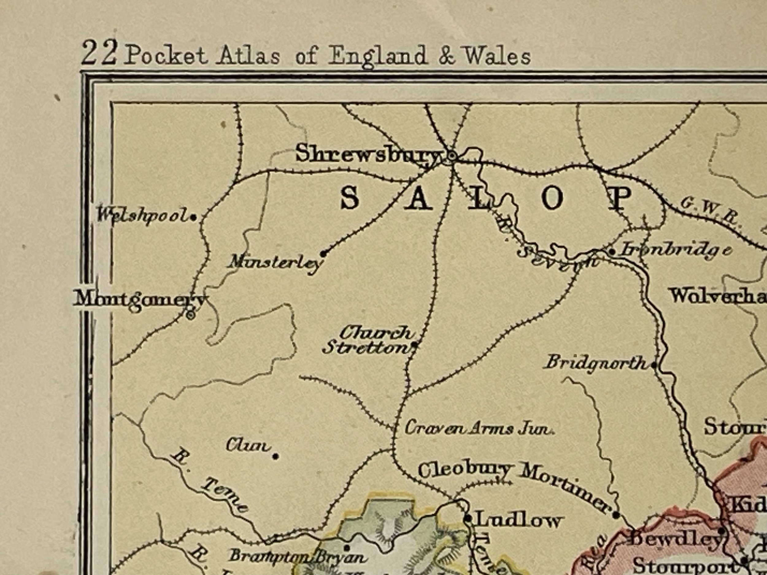 Image 7 of 35

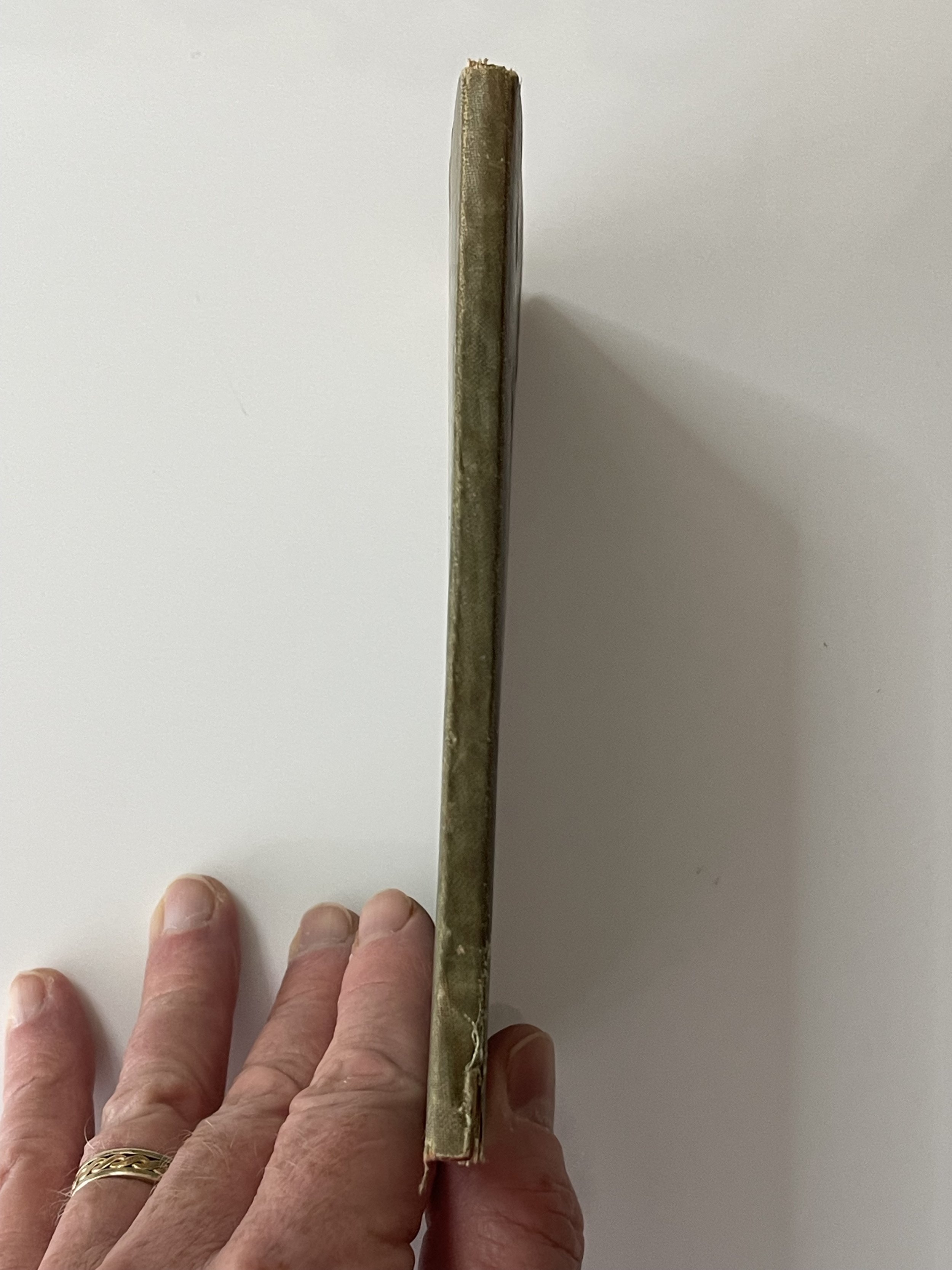 Image 8 of 35

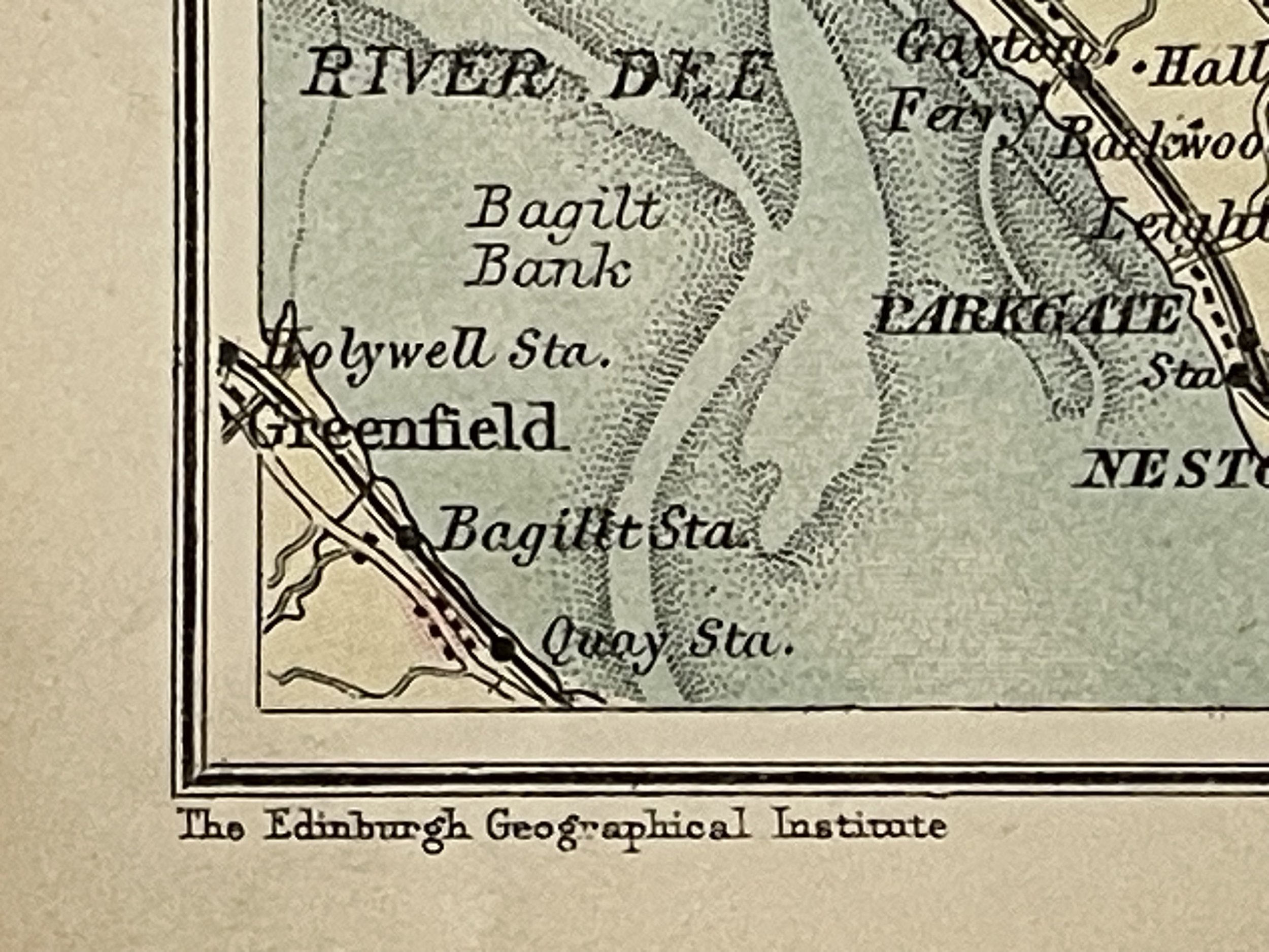 Image 9 of 35

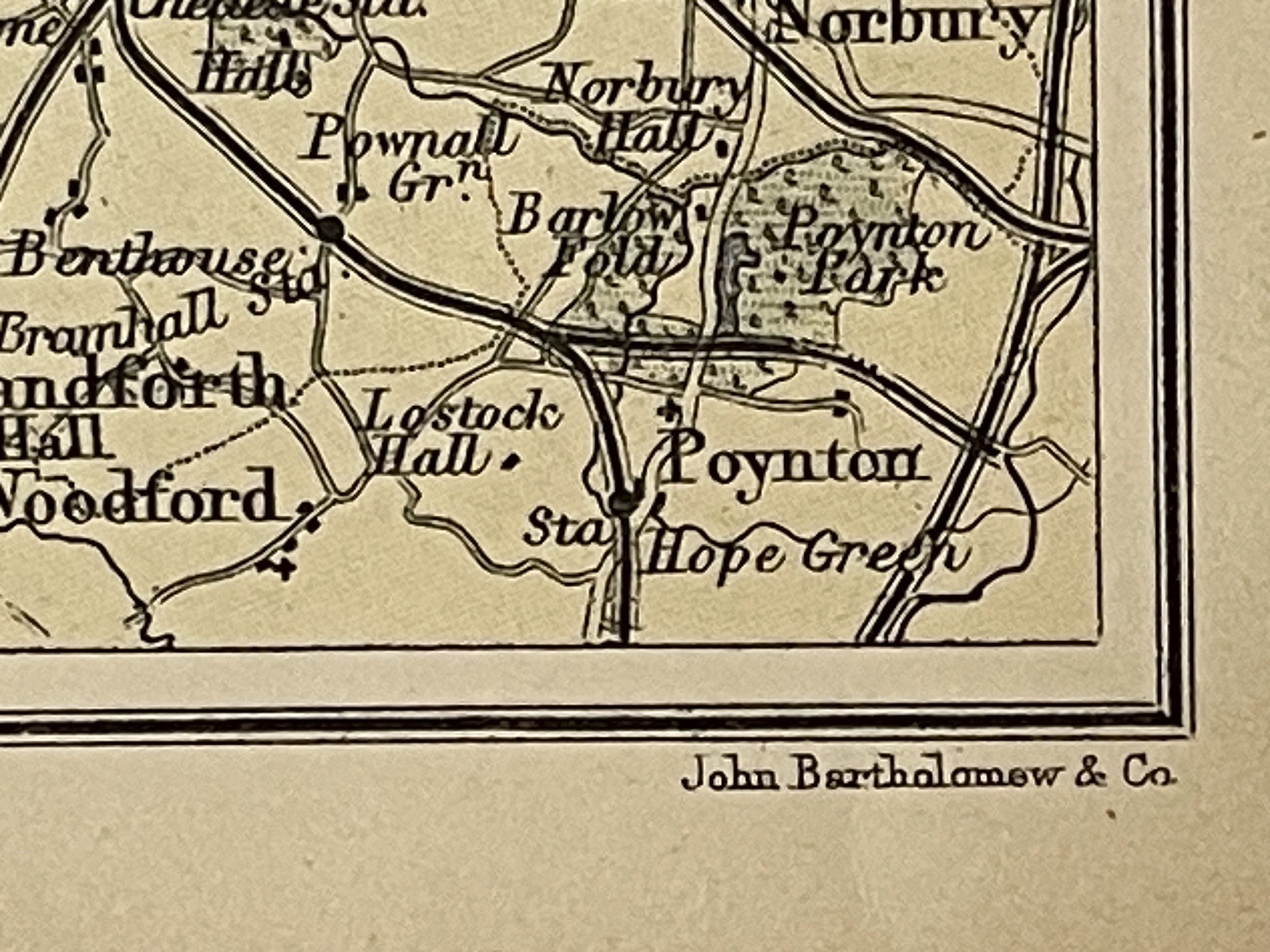 Image 10 of 35

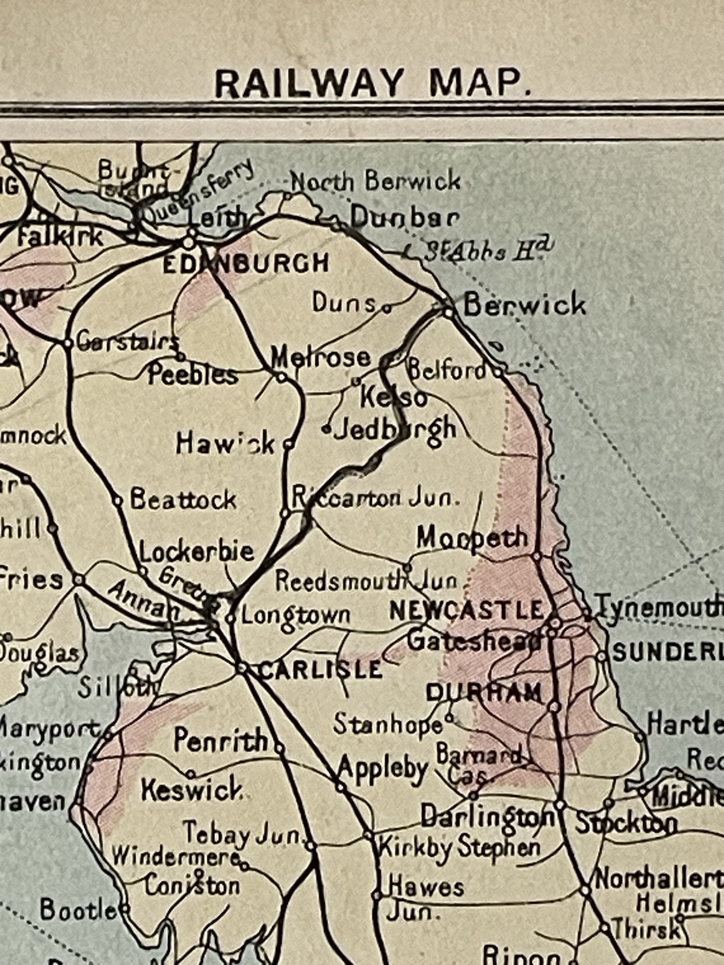 Image 11 of 35

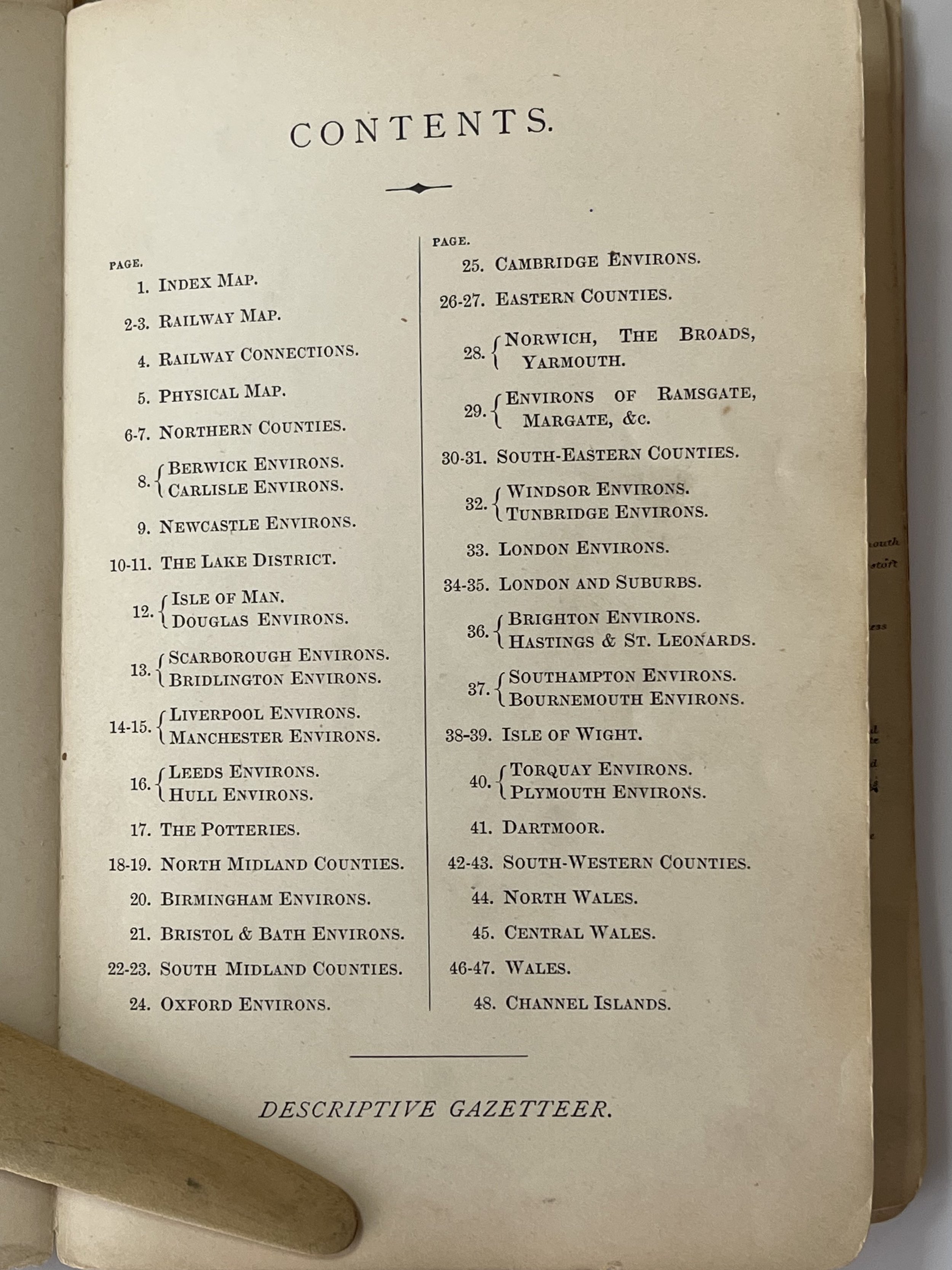 Image 12 of 35

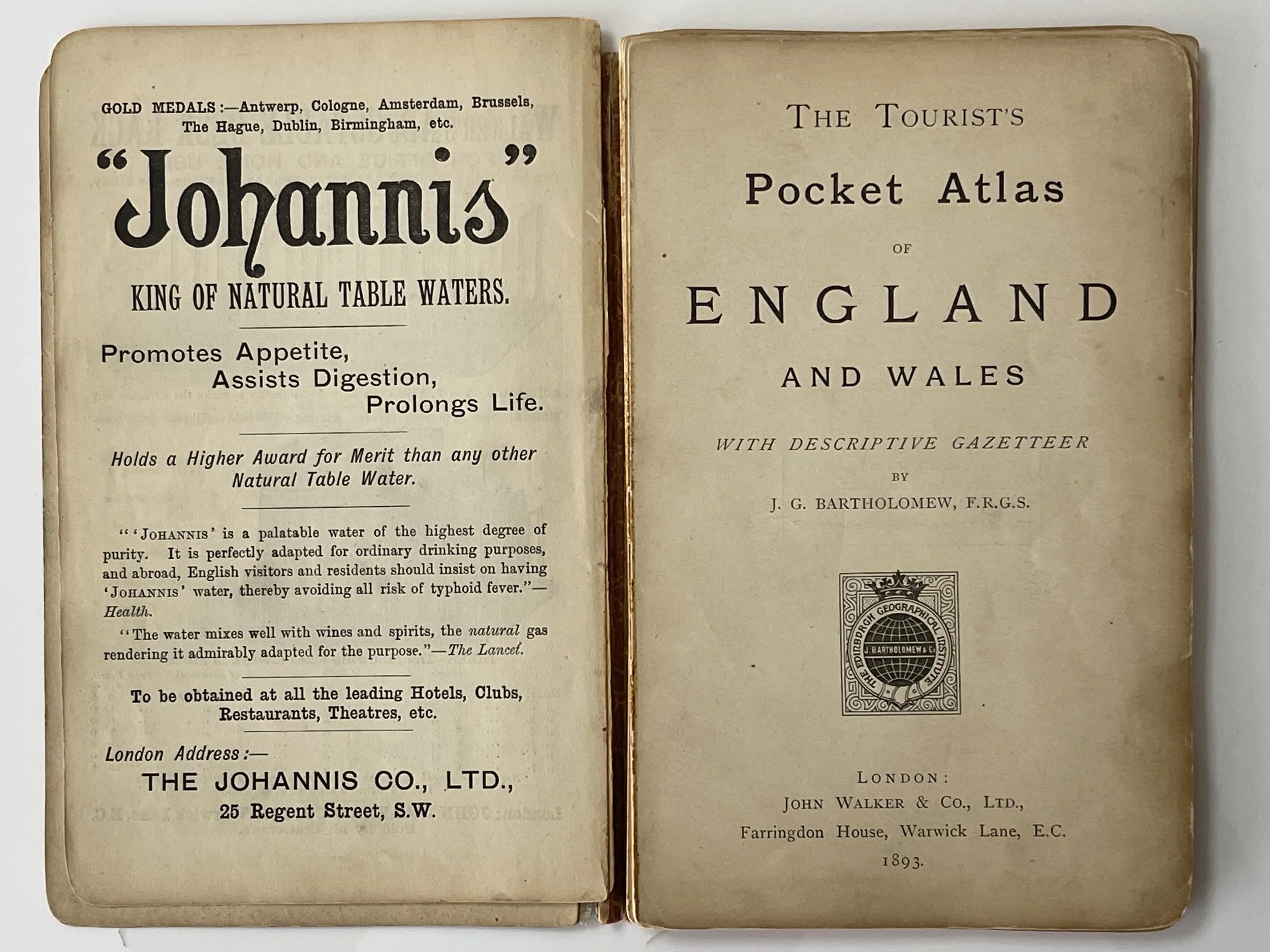 Image 13 of 35

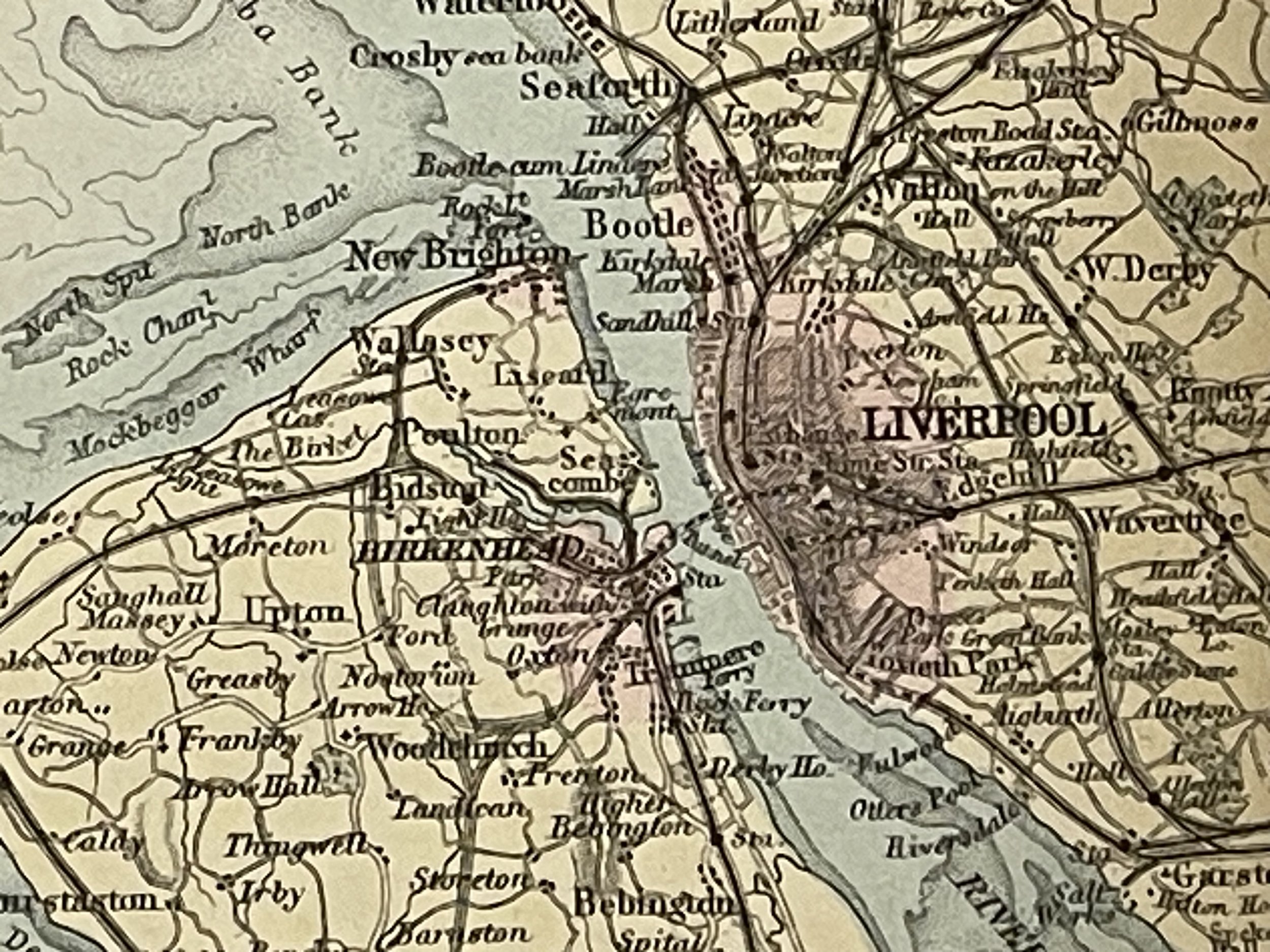 Image 14 of 35

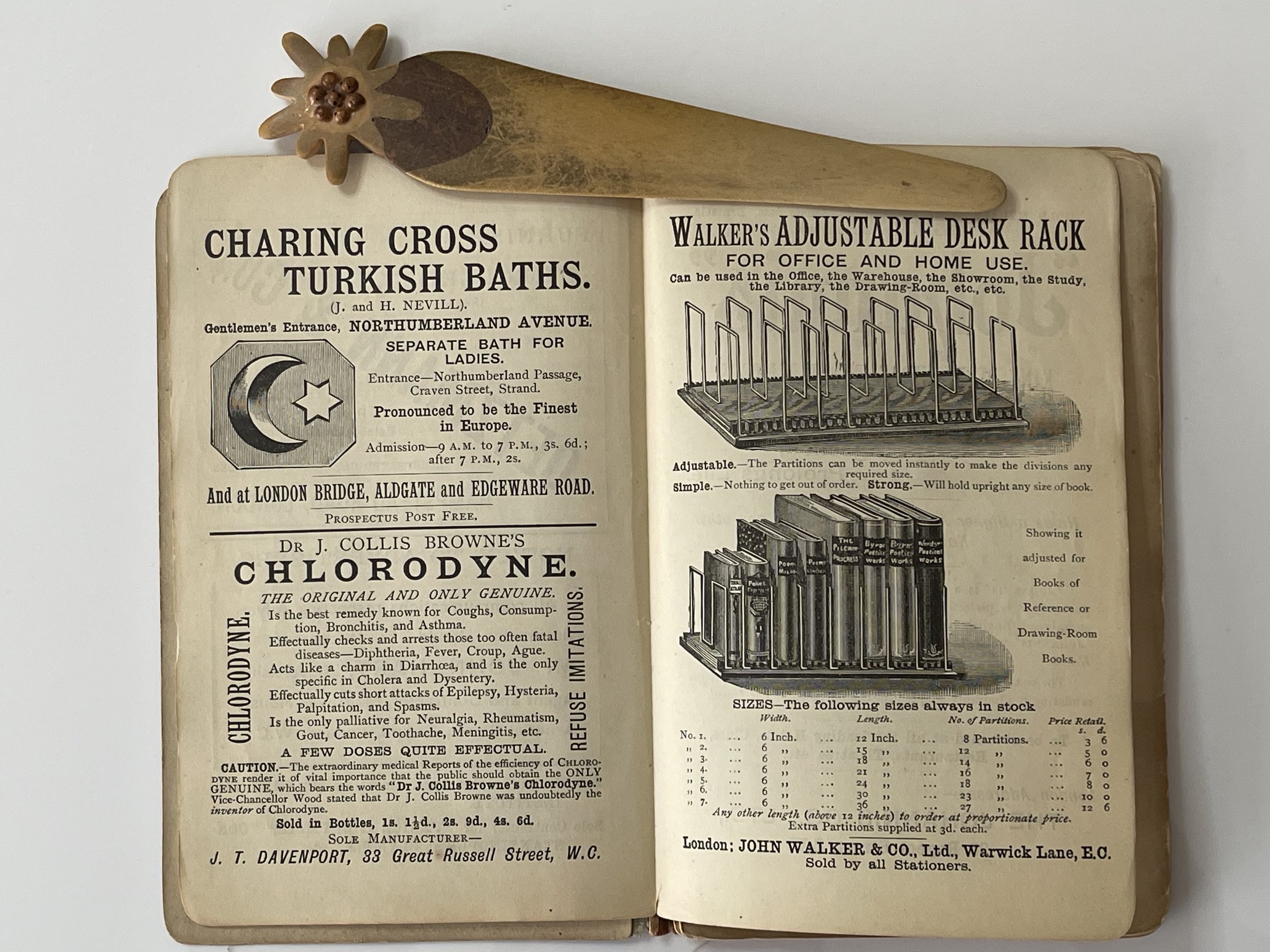 Image 15 of 35

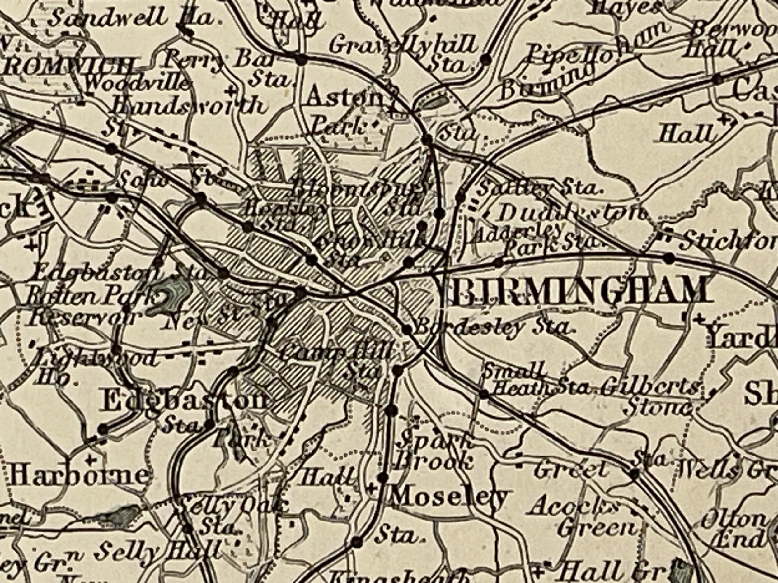 Image 16 of 35

 Image 17 of 35

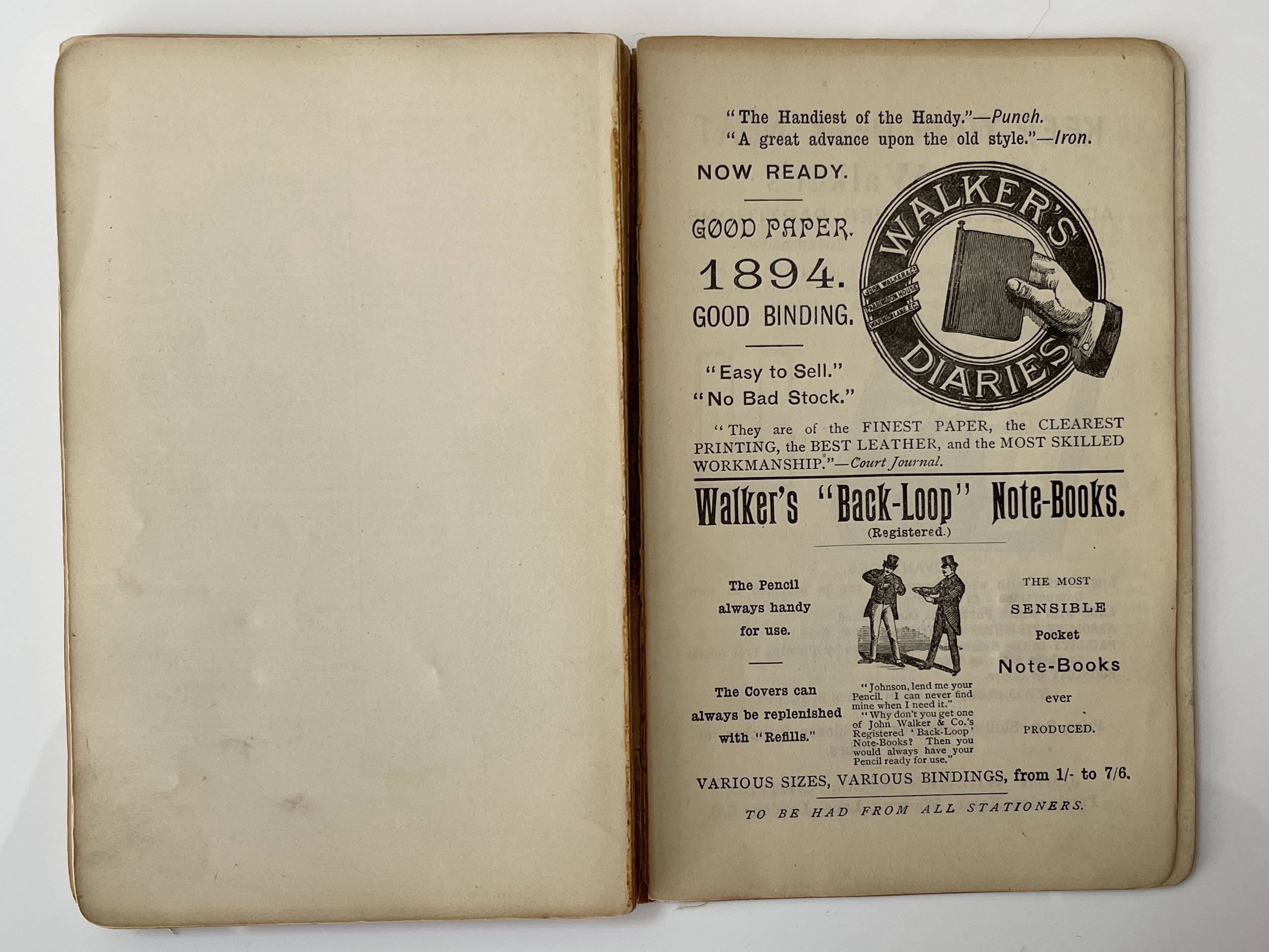 Image 18 of 35

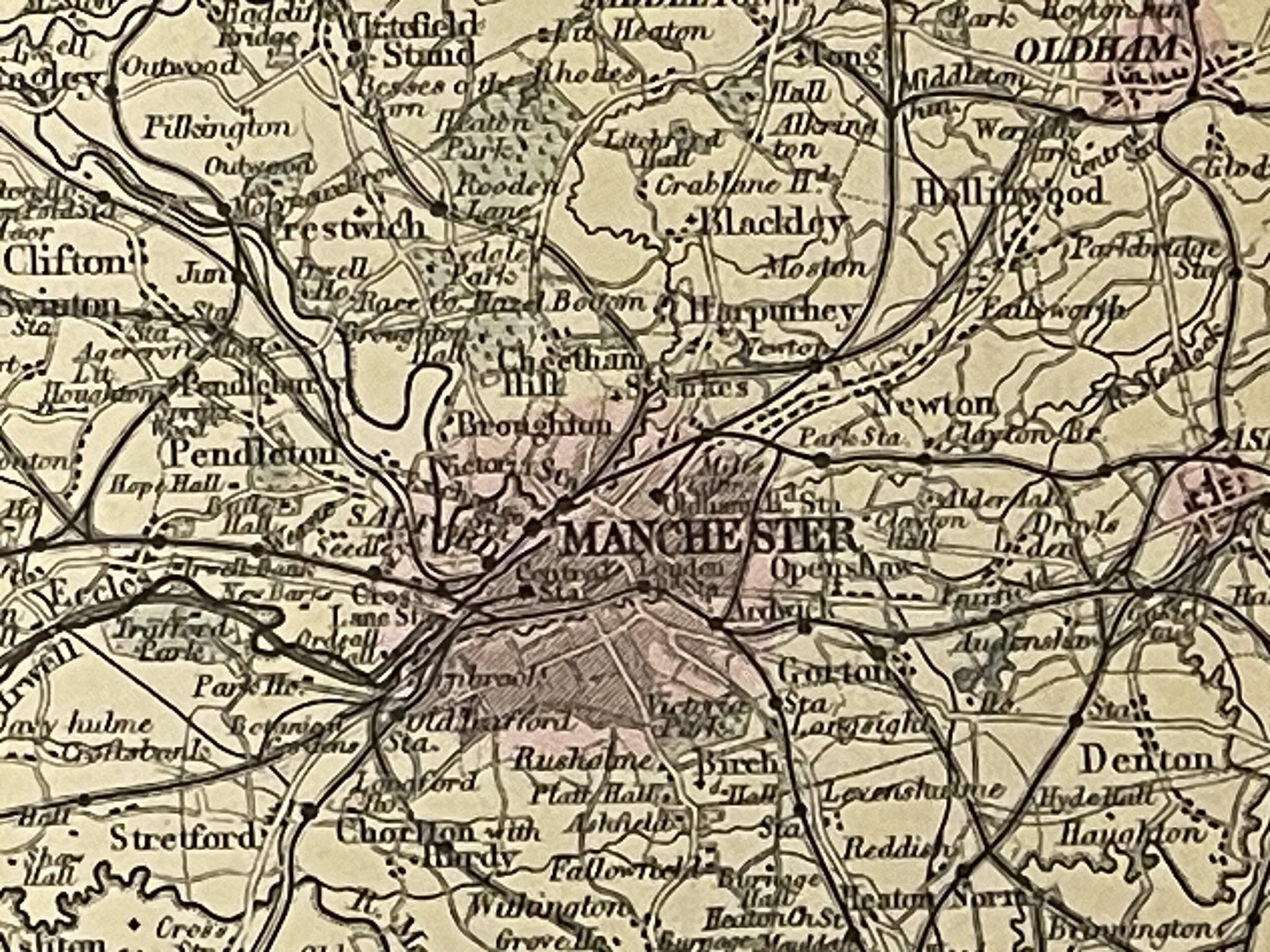 Image 19 of 35

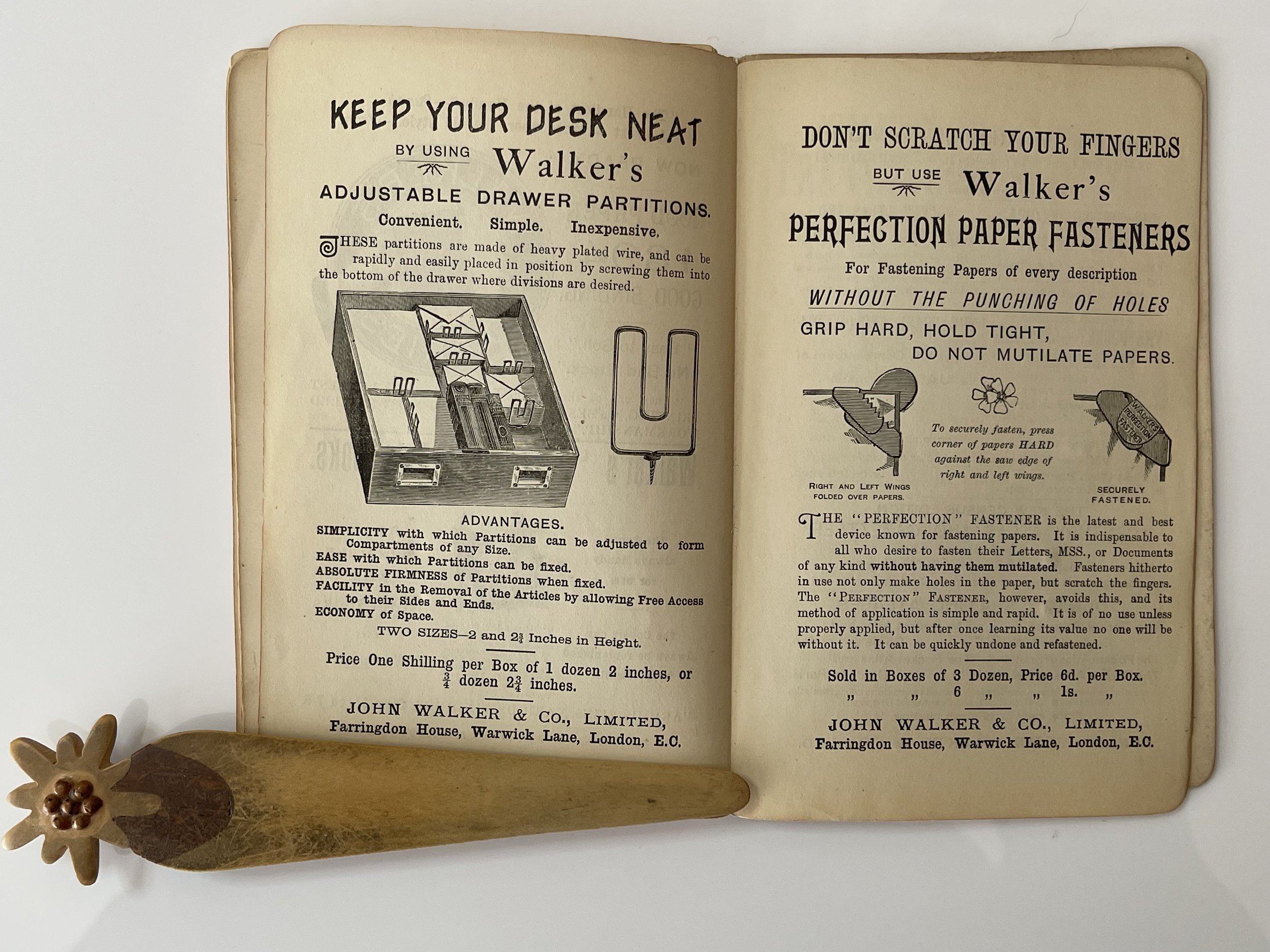 Image 20 of 35

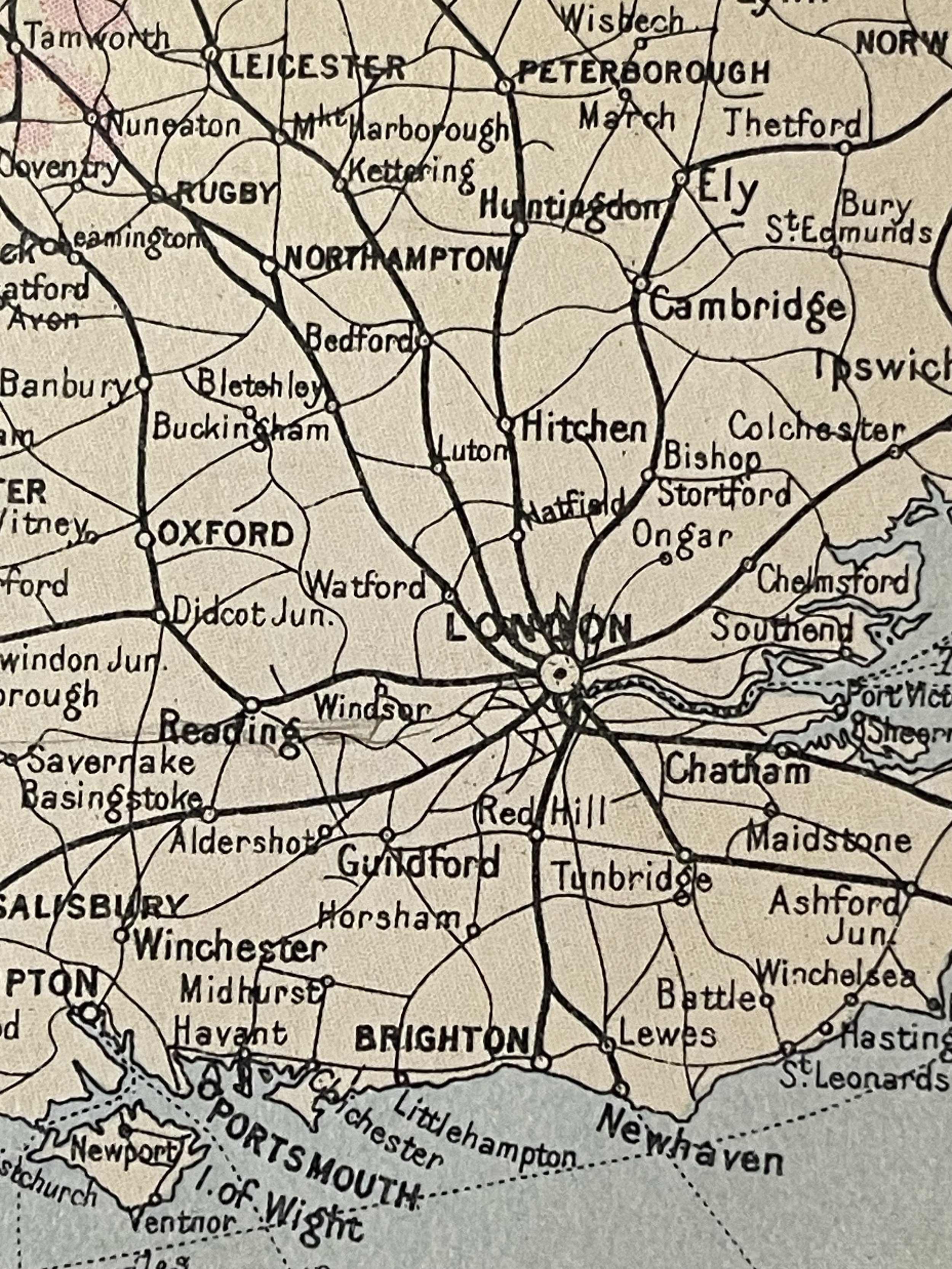 Image 21 of 35

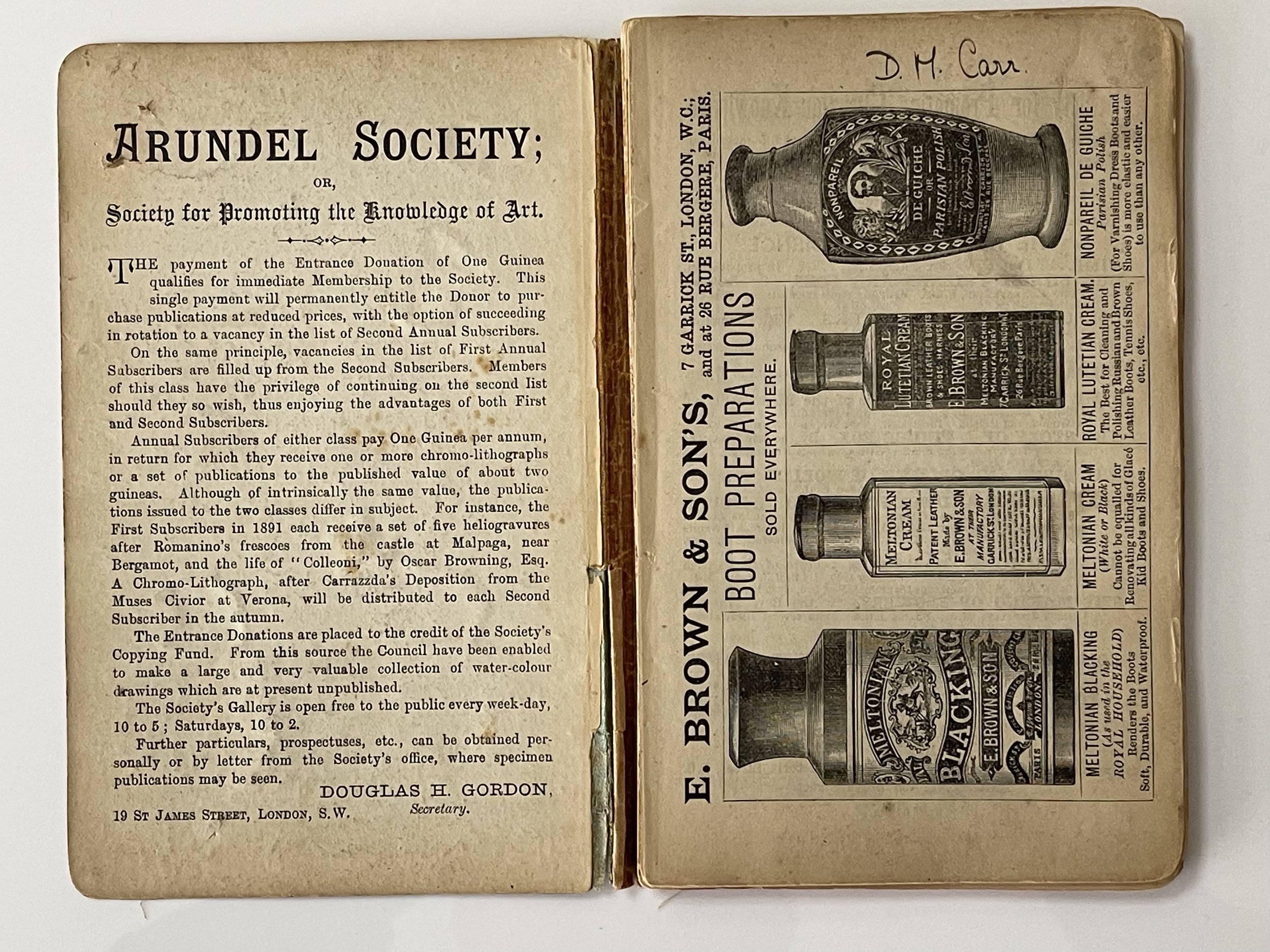 Image 22 of 35

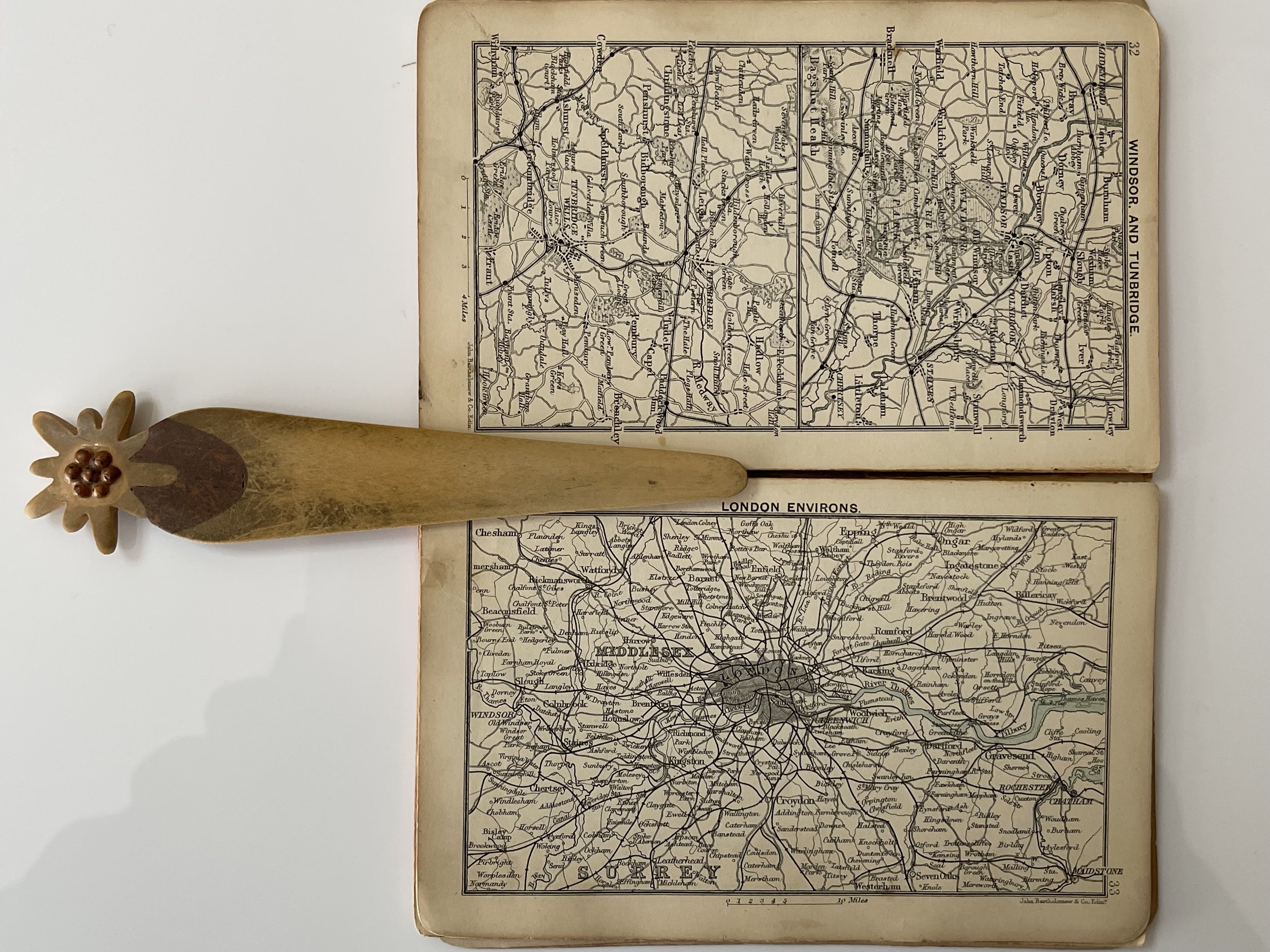 Image 23 of 35

 Image 24 of 35

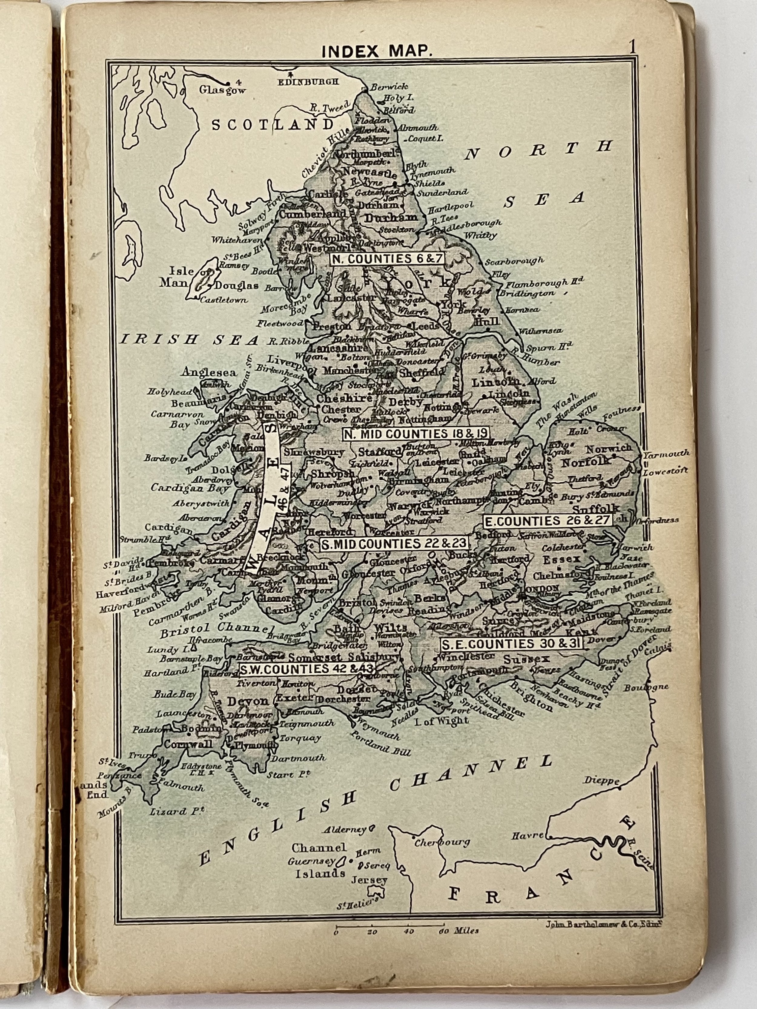 Image 25 of 35

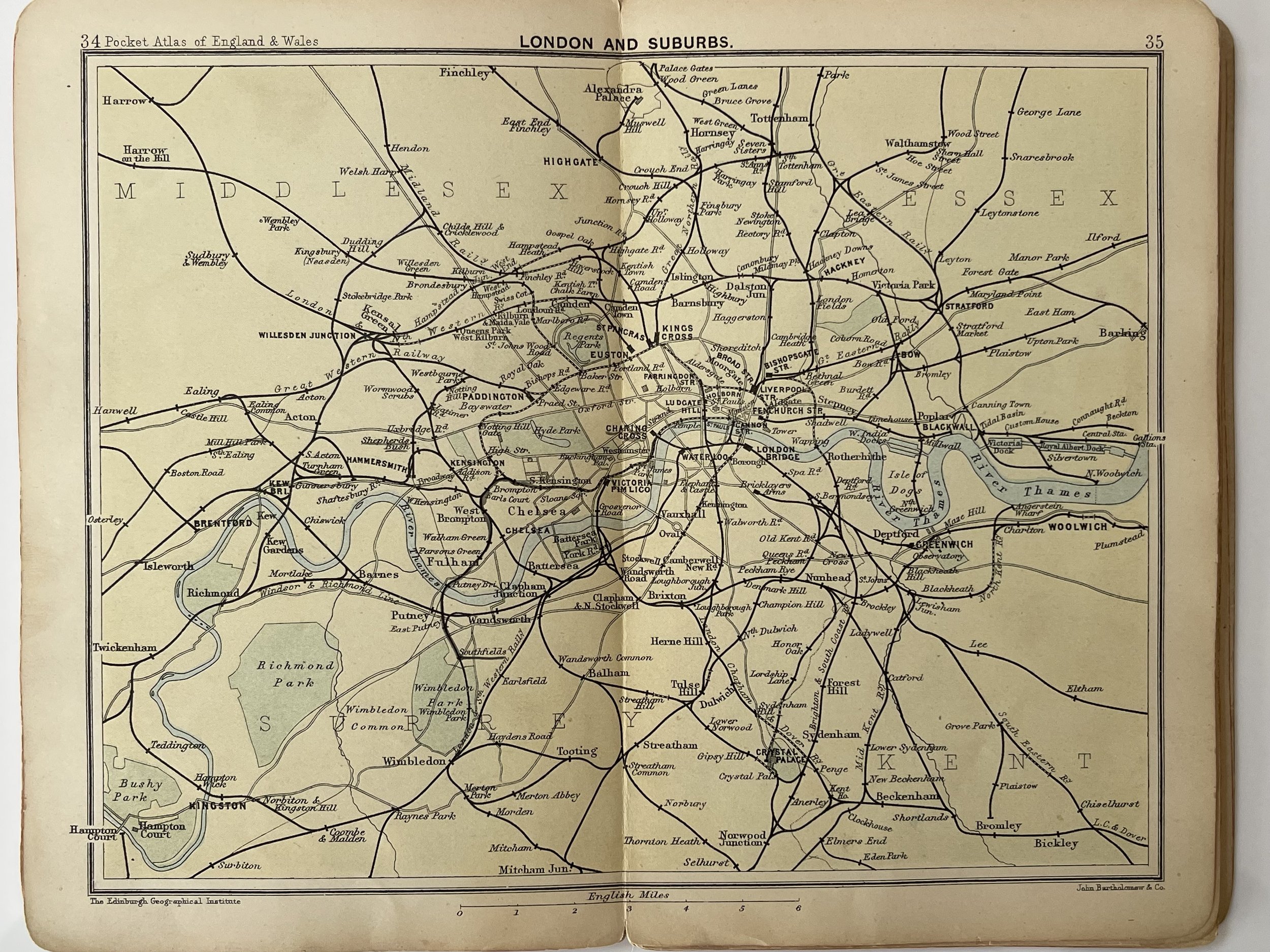 Image 26 of 35

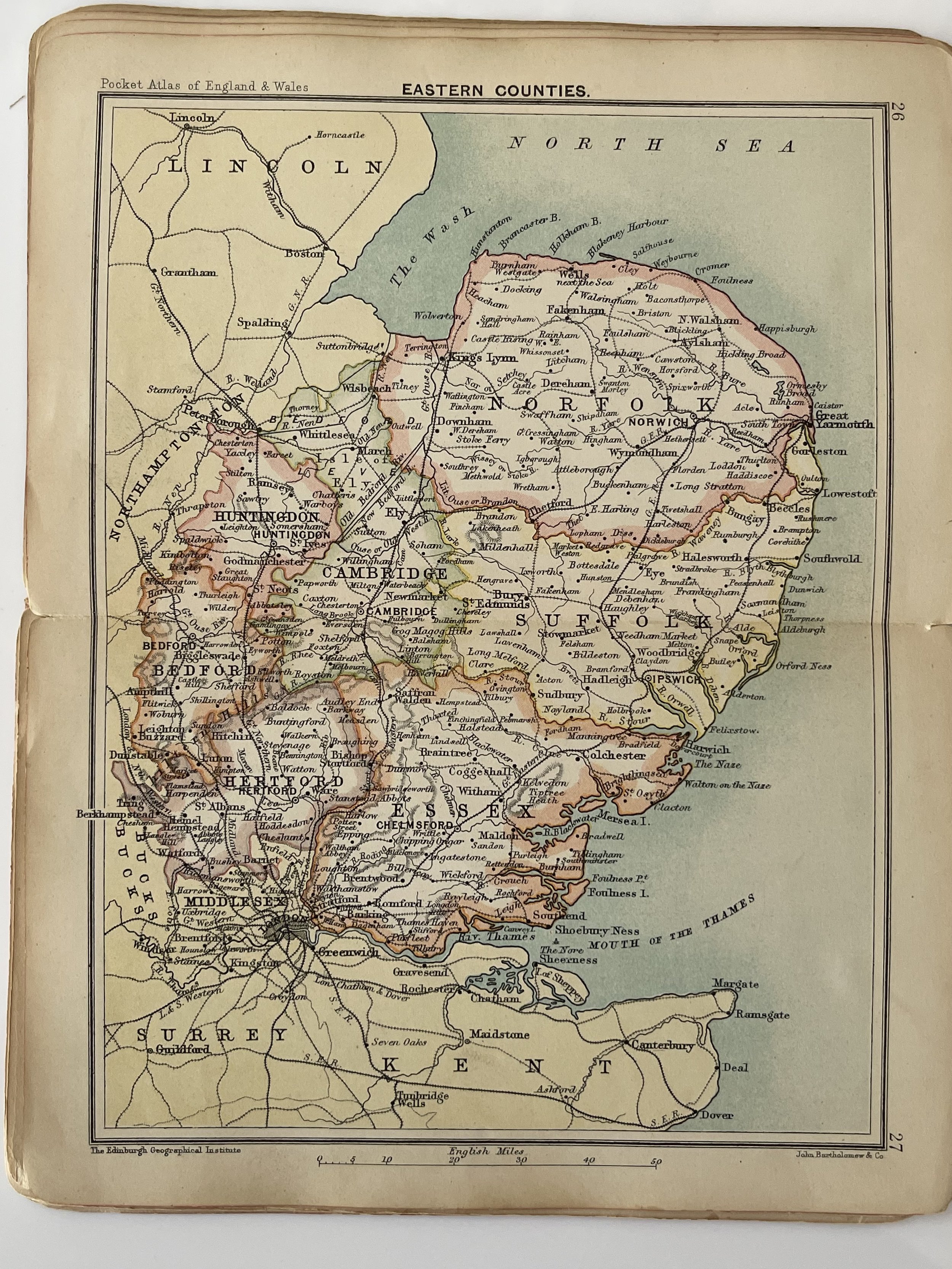 Image 27 of 35

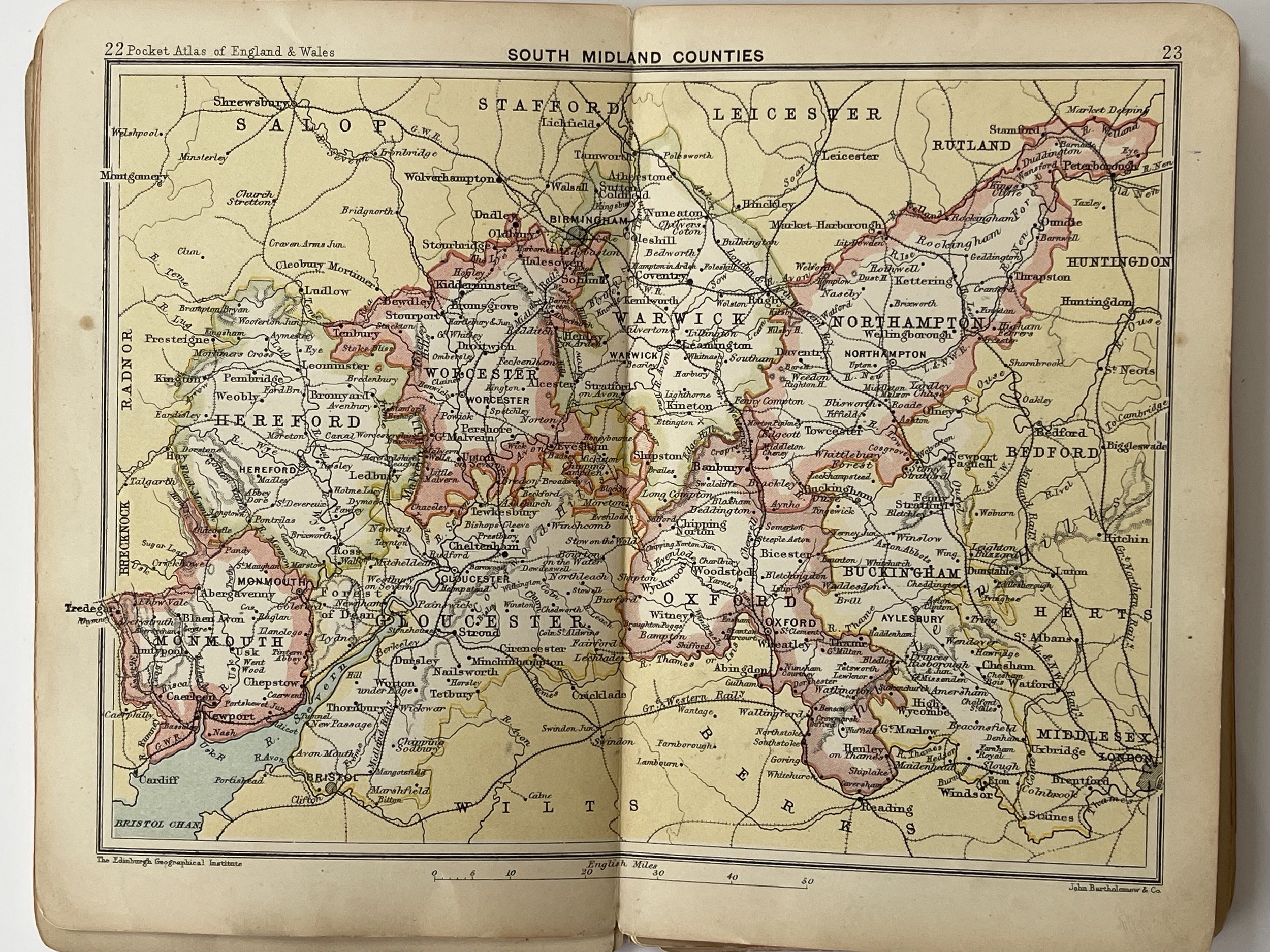 Image 28 of 35

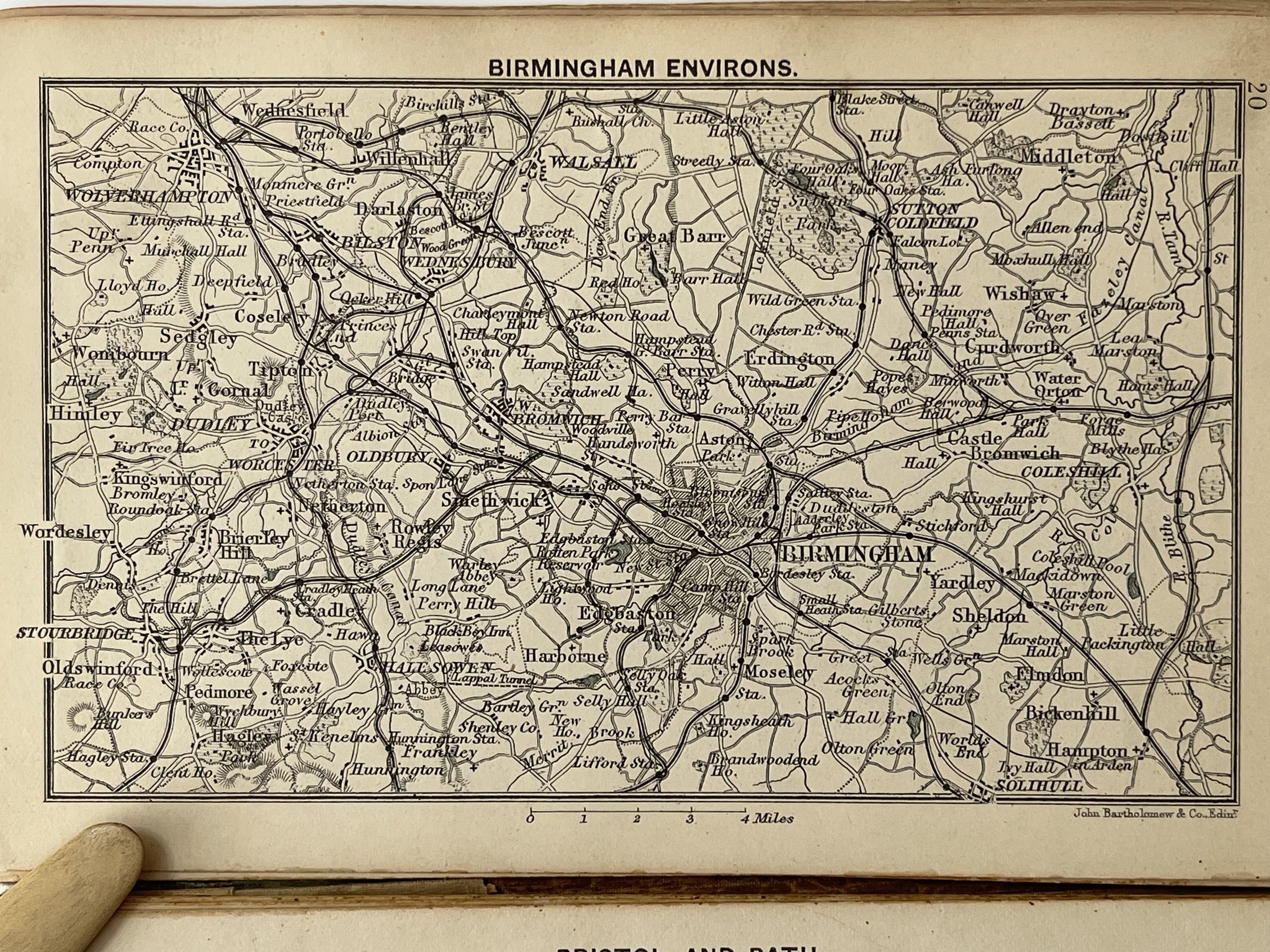 Image 29 of 35

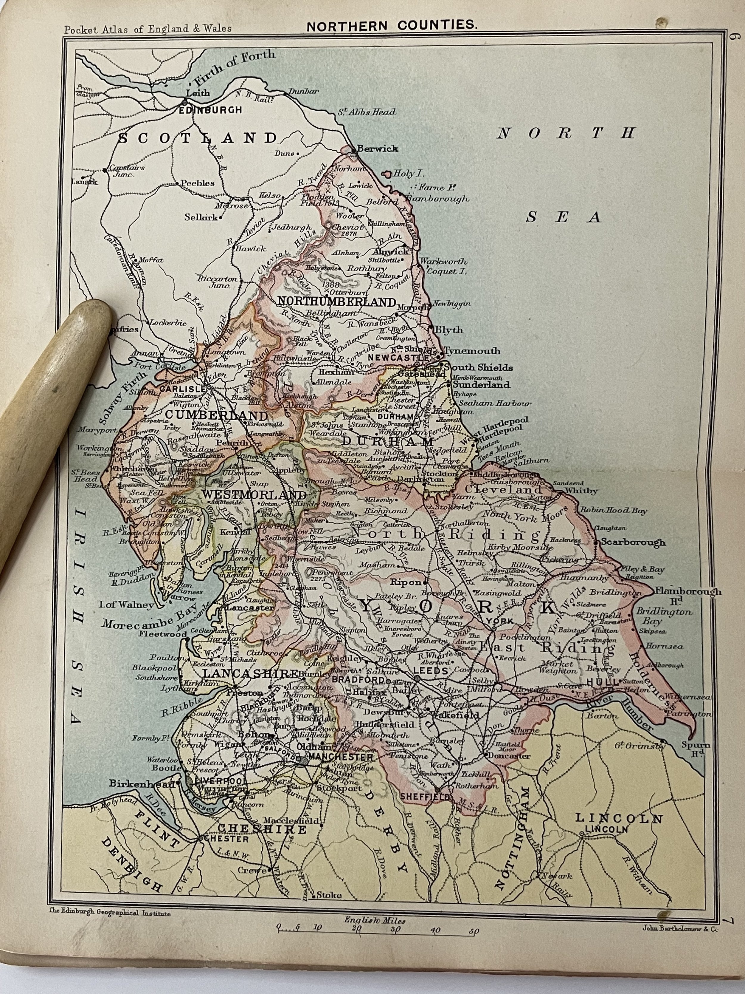 Image 30 of 35

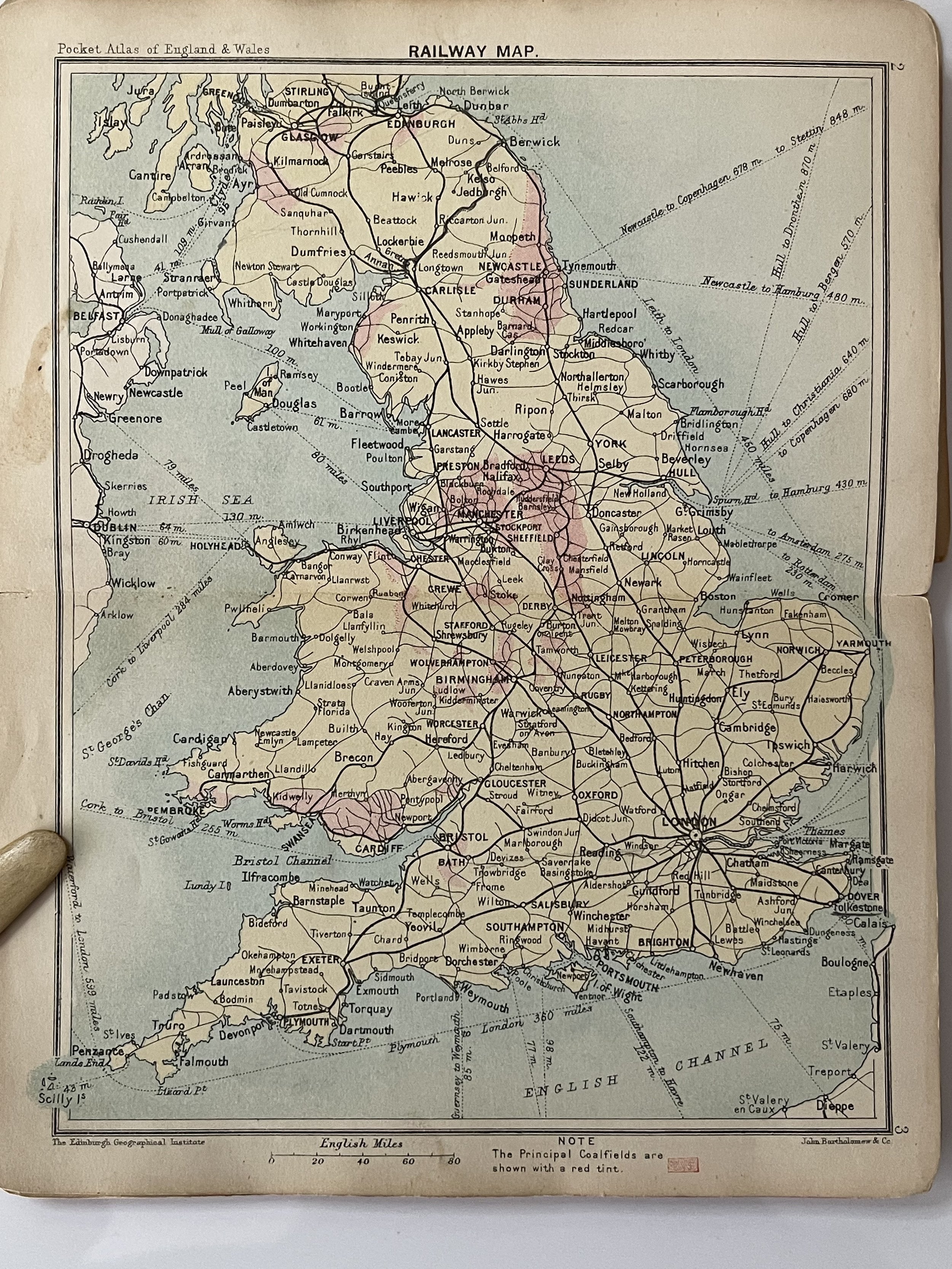 Image 31 of 35

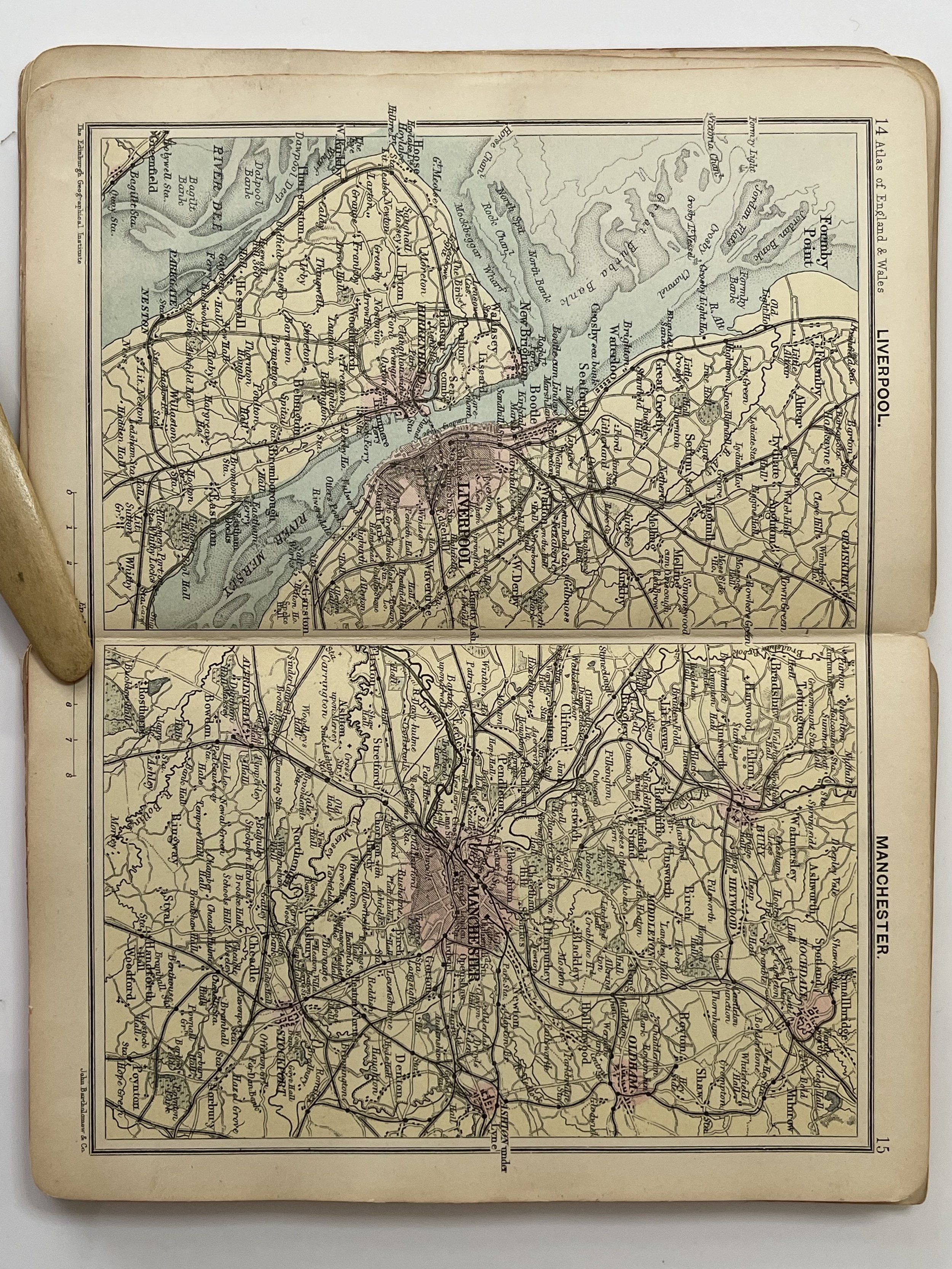 Image 32 of 35

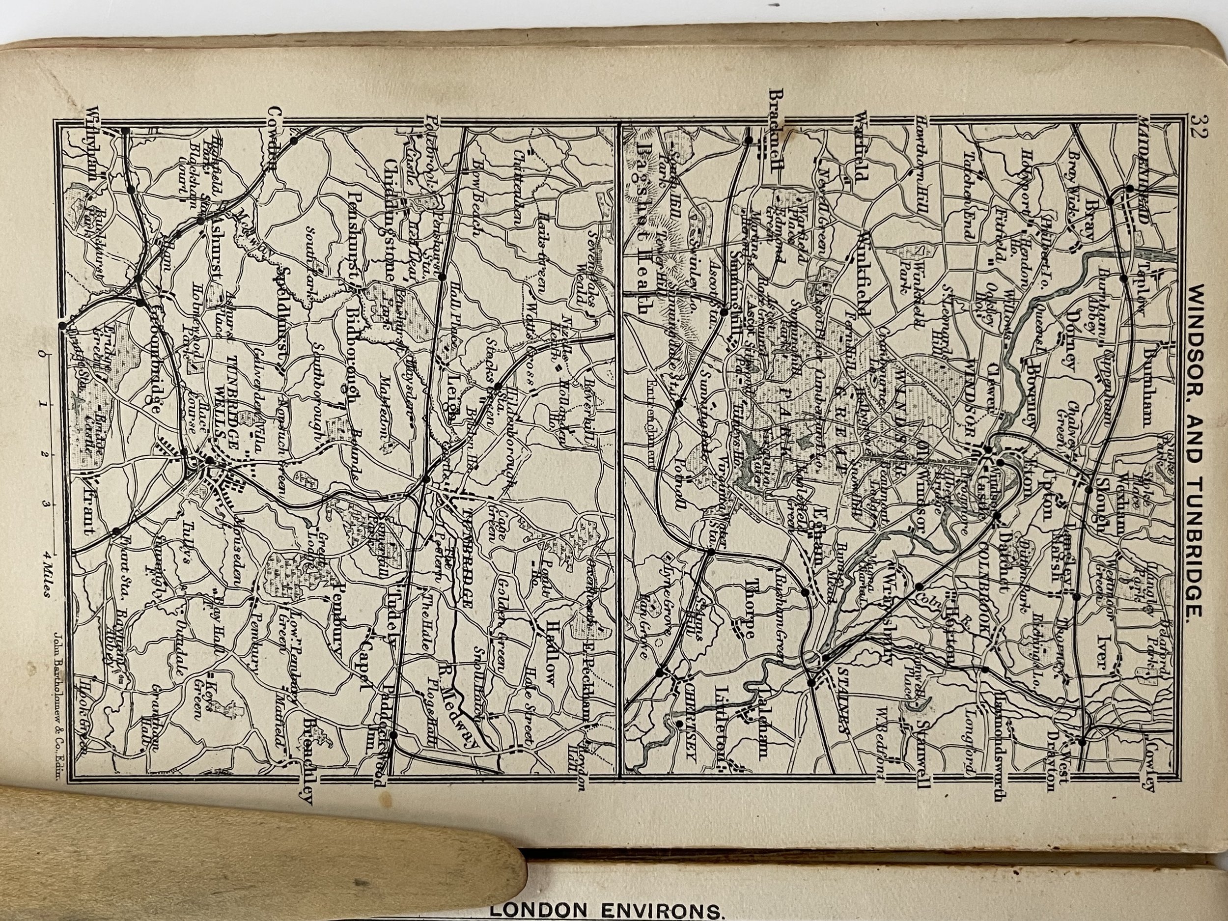 Image 33 of 35

 Image 34 of 35

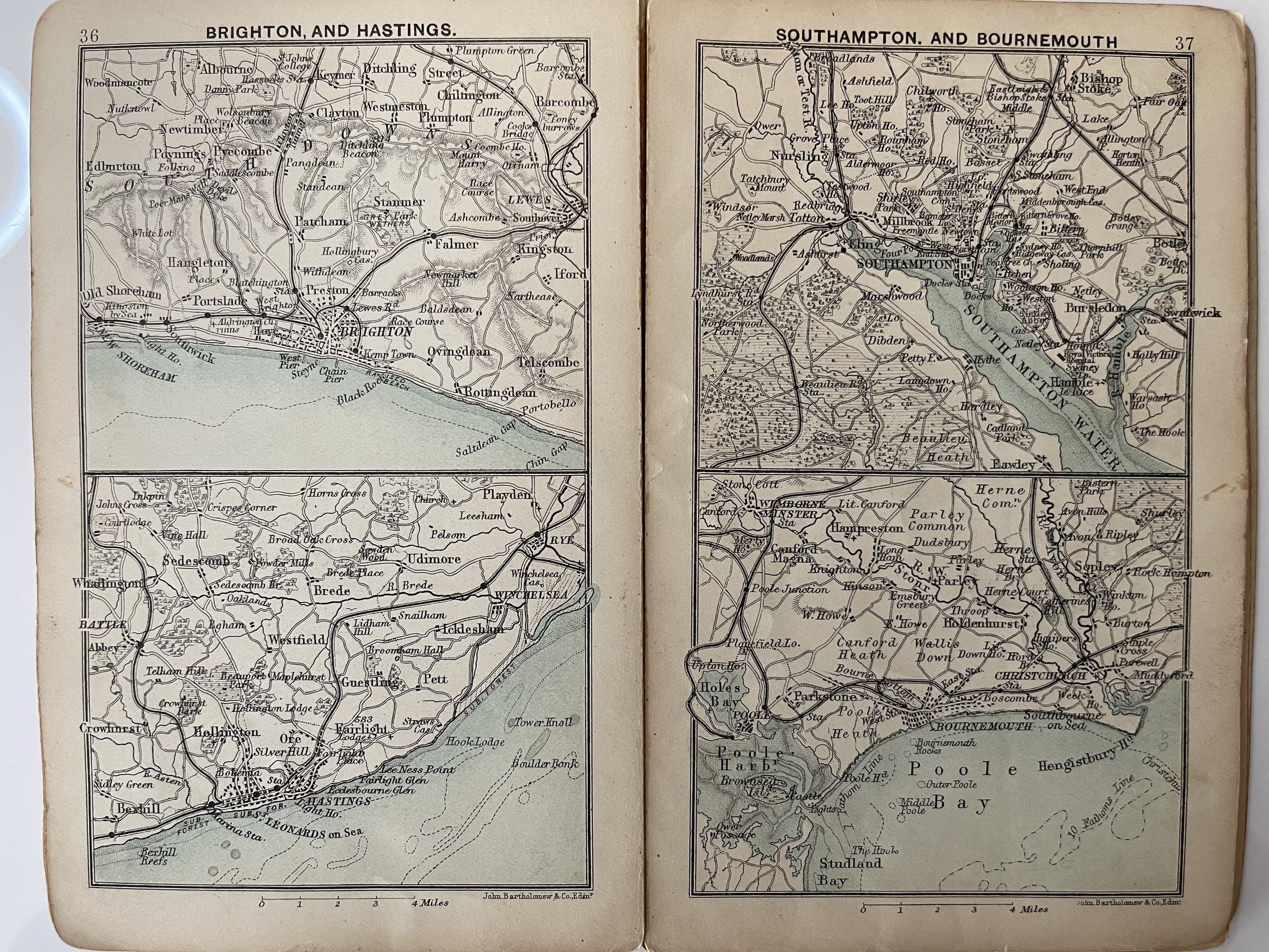 Image 35 of 35


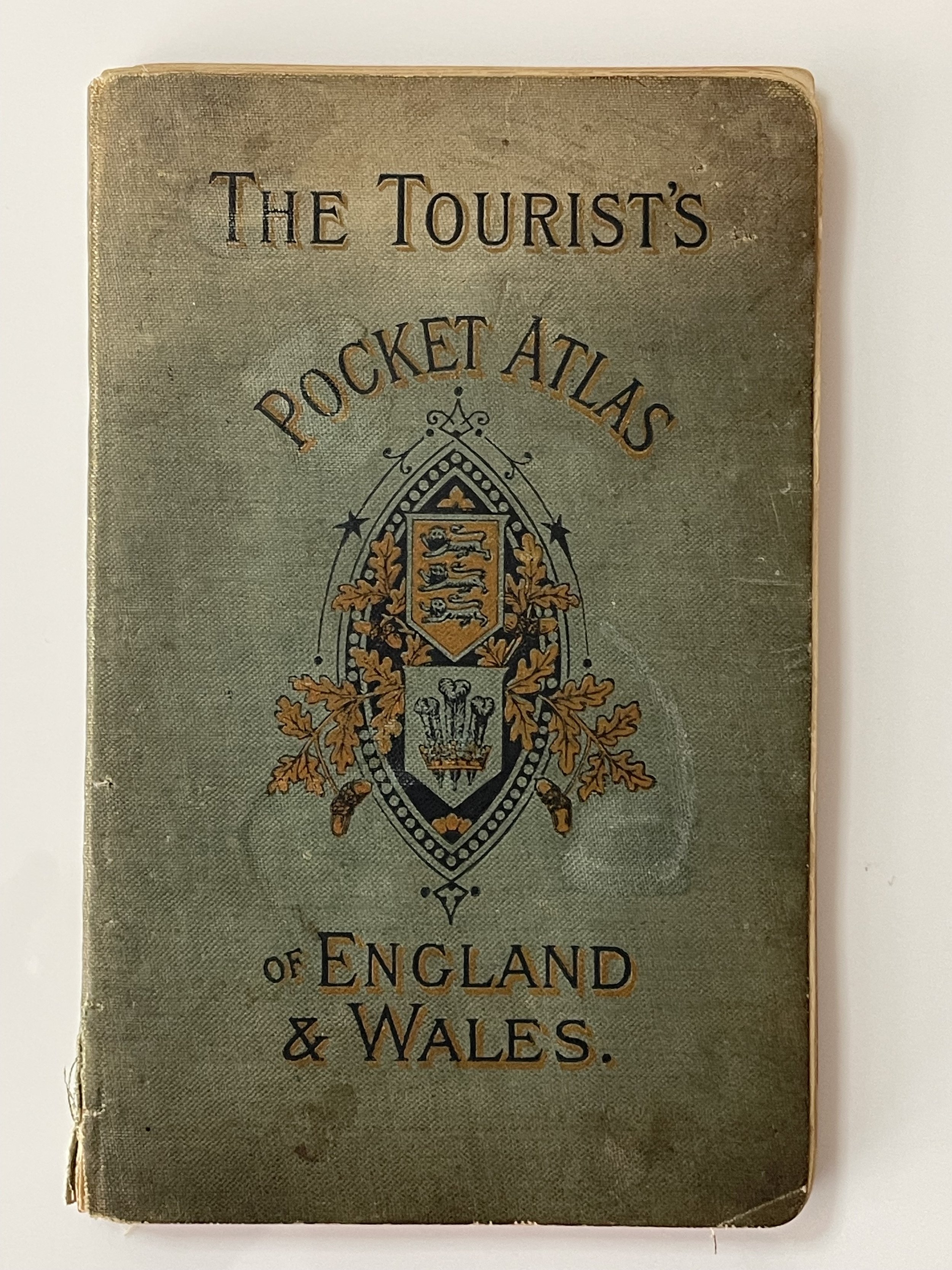
The Tourist’s Pocket Atlas of England & Wales - John Walker & Co. London - John Bartholomew -1893
The Tourist’s Pocket Atlas of England & Wales - John Walker & Co. London - John Bartholomew -1893
John Walker & Co. Ltd. published several atlases from at least 1890 through the end of the first decade of the 20th century edited by and featuring maps engraved by J.G. Bartholomew, F.R.G.S., F.R.S.E, and it appears the maps shown on their postcards were drawn from these atlases.
John Bartholomew, Senior. (26 April 1805 – 8 April 1861) was a Scottish cartographer and engraver.
The son of George Bartholomew, engraver (1784–1871), John founded the engraving and mapmaking firm of John Bartholomew and Son Ltd. in 1826.
He was a master copper plate engraver and engraved some fine maps for local Edinburgh firms, such as street maps for Lizars, others for the Encyclopaedia Britannica and for some educational publishers like A & C Black. He was commissioned to engrave the map of Treasure Island for Robert Louis Stevenson.
John Sr. was the ideal person to inaugurate what became one of the most admired cartographic institutions in the world. A man of high standards, as were his successors; he was an accomplished engraver, engraving becoming the foundation of the firm; lithography would follow later. He also had the vision to recognise the potential for the firm.
In 1859, shortly before he died, John Senior passed the business on to his son John Bartholomew Junior (1831–1893).
He is buried with his wife, Margaret McGregor in the north-west section of Grange Cemetery. His son and his wife are buried with him.
Lovely period pocket atlas of England and Wales. Many loose leaves as the binding glue have perished but the atlas is complete. Very good order apart from a few thumbed blemishes on a few pages and an ink signature on page 2 ‘D.M.Carr’ (See photo). Several 19th century advertisements included. Very collectable. Pricing and grading commensurate
Code : A1071
Cartographer : Cartographer / Engraver / Publisher: John Walker & Co. London - John Bartholomew
Date : Publication Place / Date - 1893
Size : Sheet size: approx 16 x 10 Cm
Availability : Available
Type - Genuine - Antique
Grading A-
Where Applicable - Folds as issued. Light box photo shows the folio leaf centre margin hinge ‘glue’, this is not visible otherwise.
Tracked postage, in casement. Please contact me for postal quotation outside of the UK.