Exhibiting All the Various Alterations & Improvements Complete to the Present Time - Mogg, Edward – Dated 1st January 1825.
Coloured engraved map, dissected in 16 sections and mounted on original linen, some panels are in good condition but have become semi-detached from the linen. Foxing to the linen on the rear but this hasn’t affected the map to the front. A couple of minor splits at fold edges but a Good complete copy of a rare map.
The Strangers Guide to London and Westminster, exhibiting all the various Alterations & Improvements complete to the Present Time. Published by Edward Mogg, N14 Great Russell Street, Covent Garden. January 1st, 1925. An iconic folding pocket guide of London by Edward Mogg, first published in 1806 and many times updated later.
Edward Mogg (1803-1860) was a cartographer, engraver and publisher, active in London in first half of 19th century. He issued maps and travel guides to England, Wales and London, mostly in format of folding pocket guides and maps. “The Strangers Guide to London and Westminster” was an engraved and hand-coloured plan, dissected and mounted on linen. Hackney coaches fares label still intact and partially attached to the rear linen panel.
The British Museum construction which took almost 25 years to complete is also present. Of this map, Mogg writes “…like the clue of Ariadne, it will conduct him through the labyrinth, and, occasionally consulted, will enable him, unattended, to thread with ease the mazes of this vast metropolis”. Mogg’s map of London offers superb and beautifully engraved detail throughout noting all streets, parks, and numerous important buildings.
No Slip case. Pricing and grading commensurate.
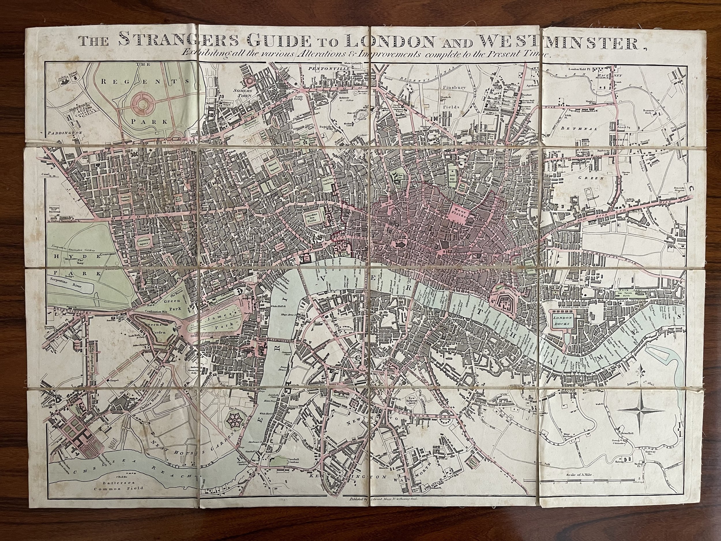 Image 1 of 14
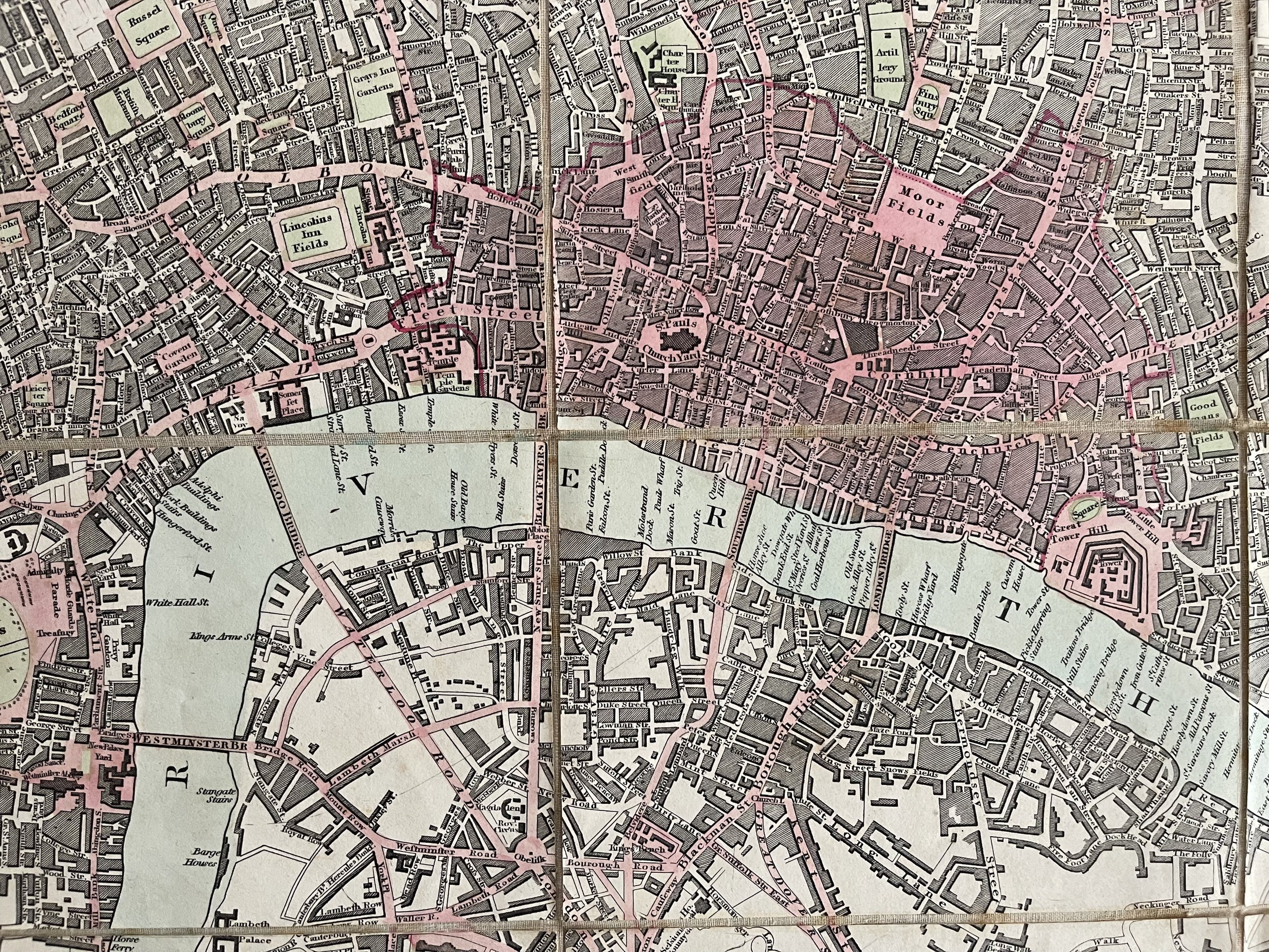 Image 2 of 14
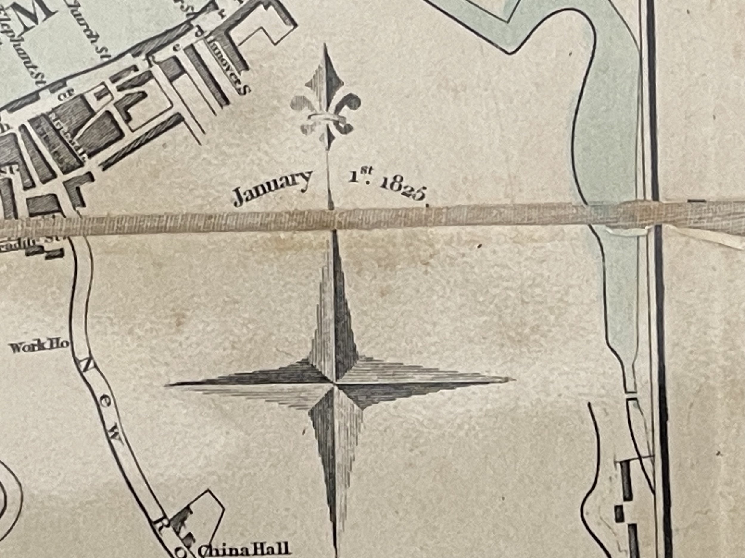 Image 3 of 14
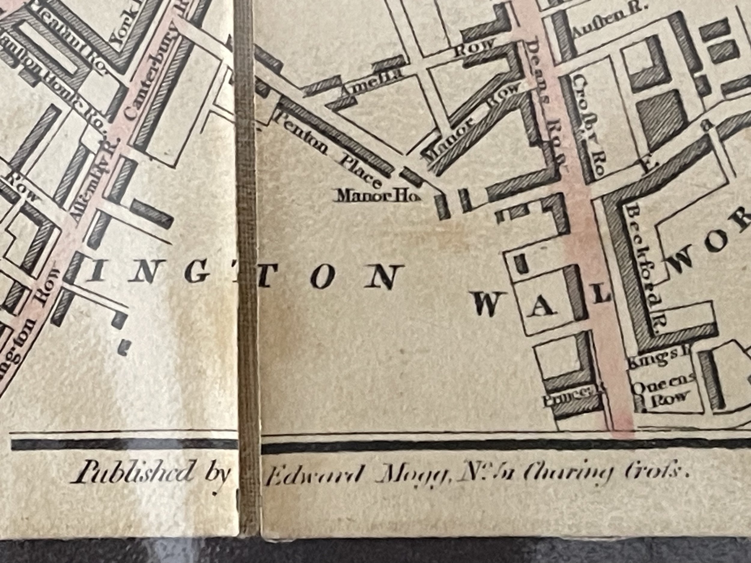 Image 4 of 14
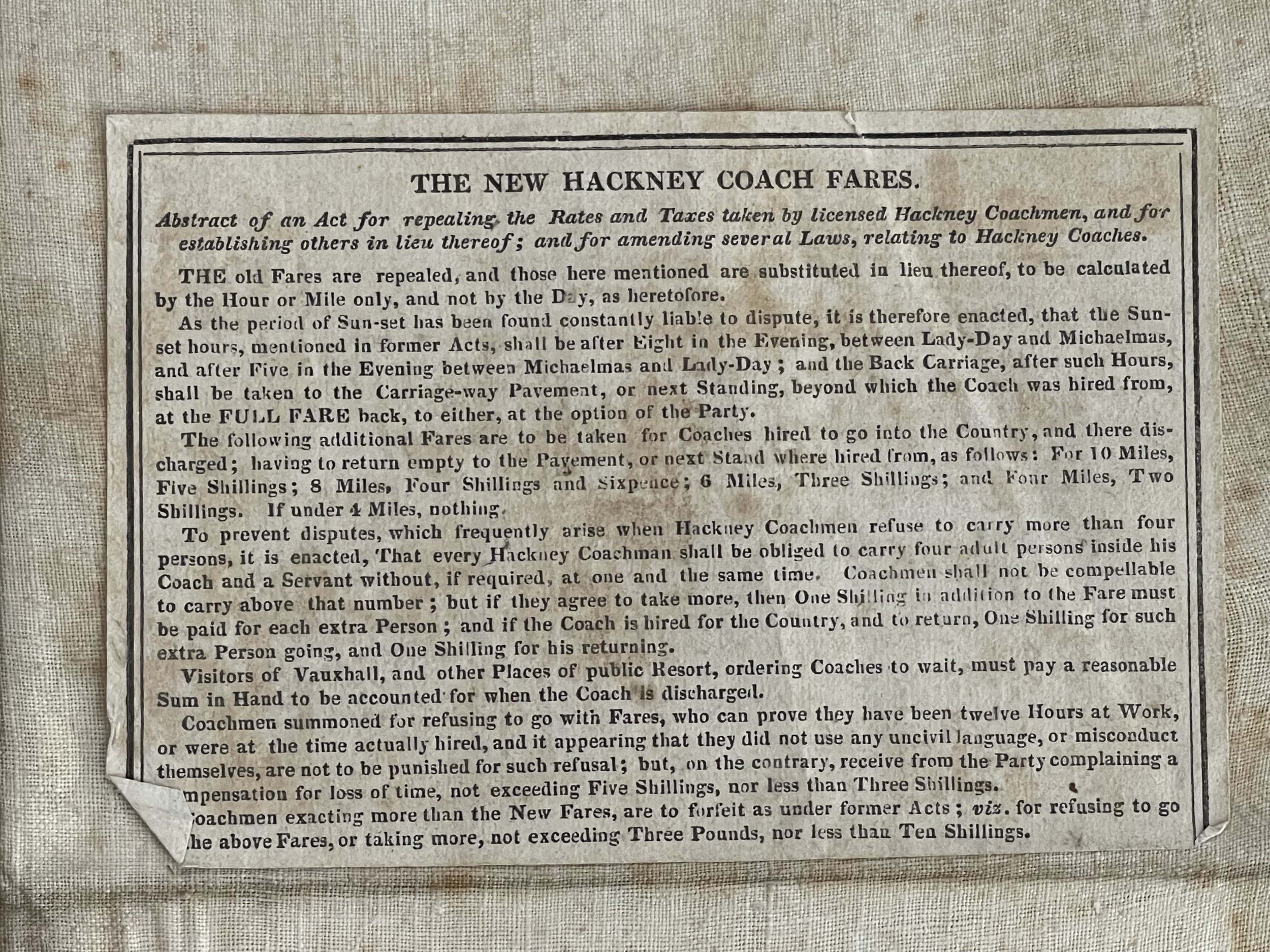 Image 5 of 14
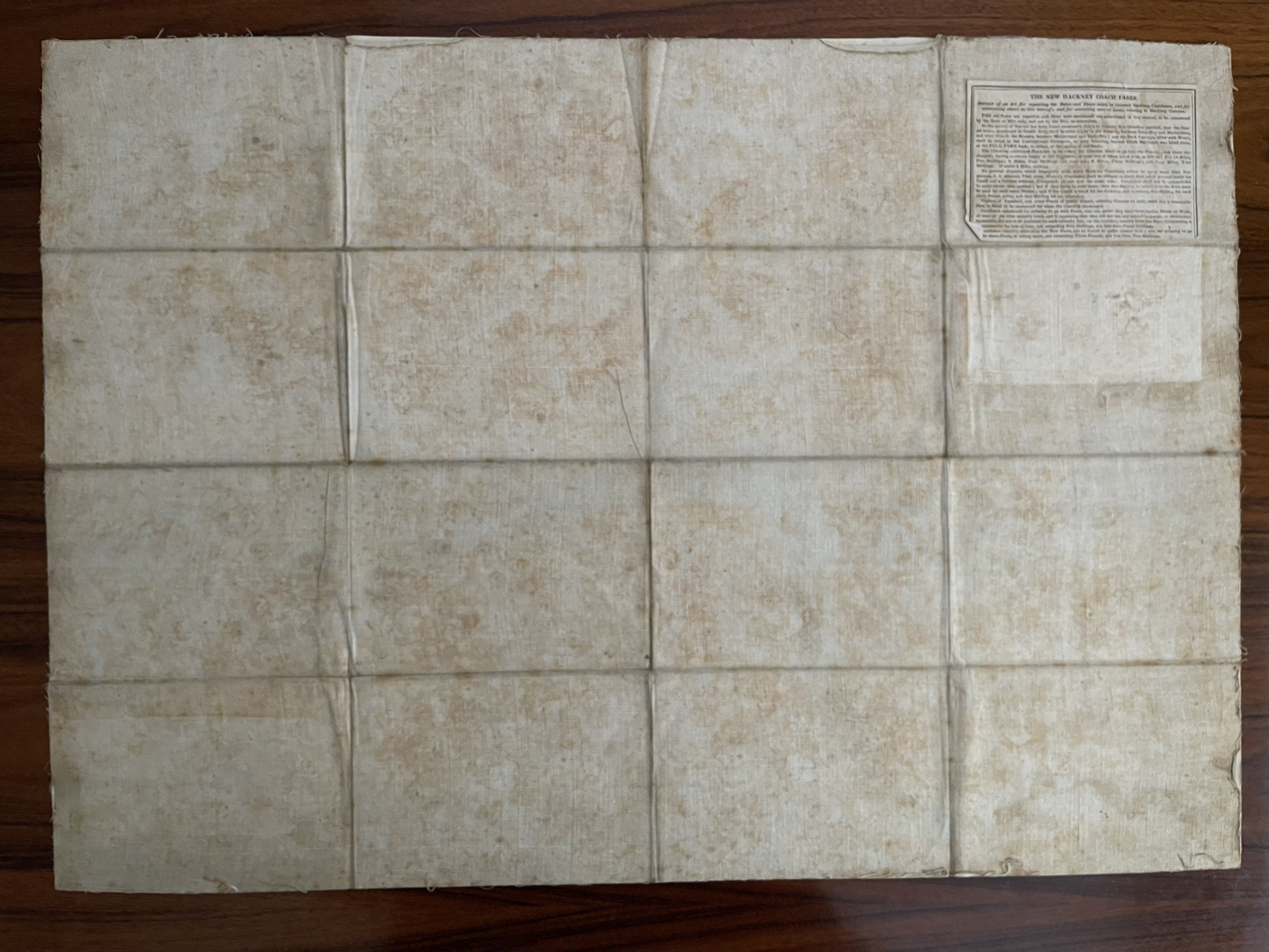 Image 6 of 14
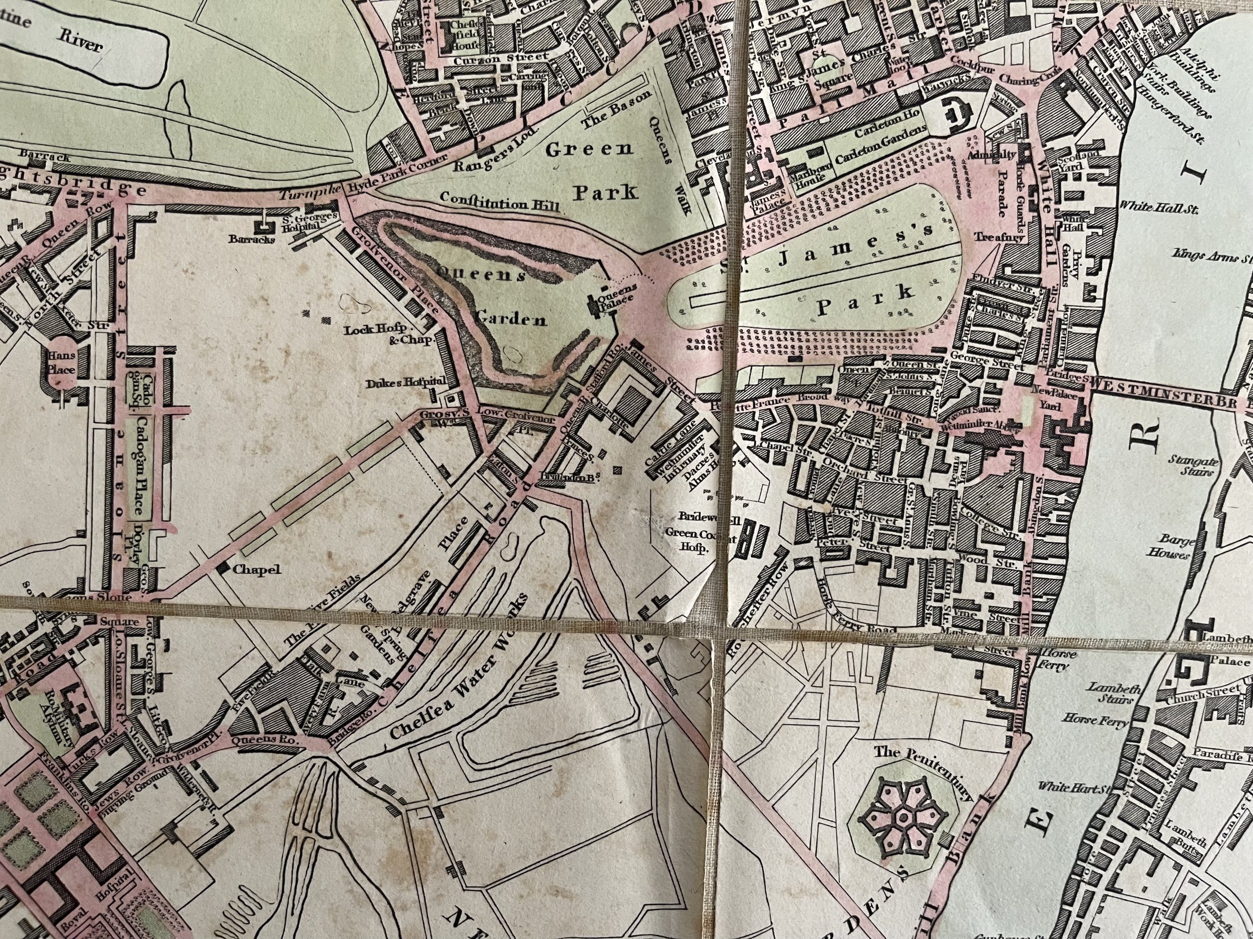 Image 7 of 14
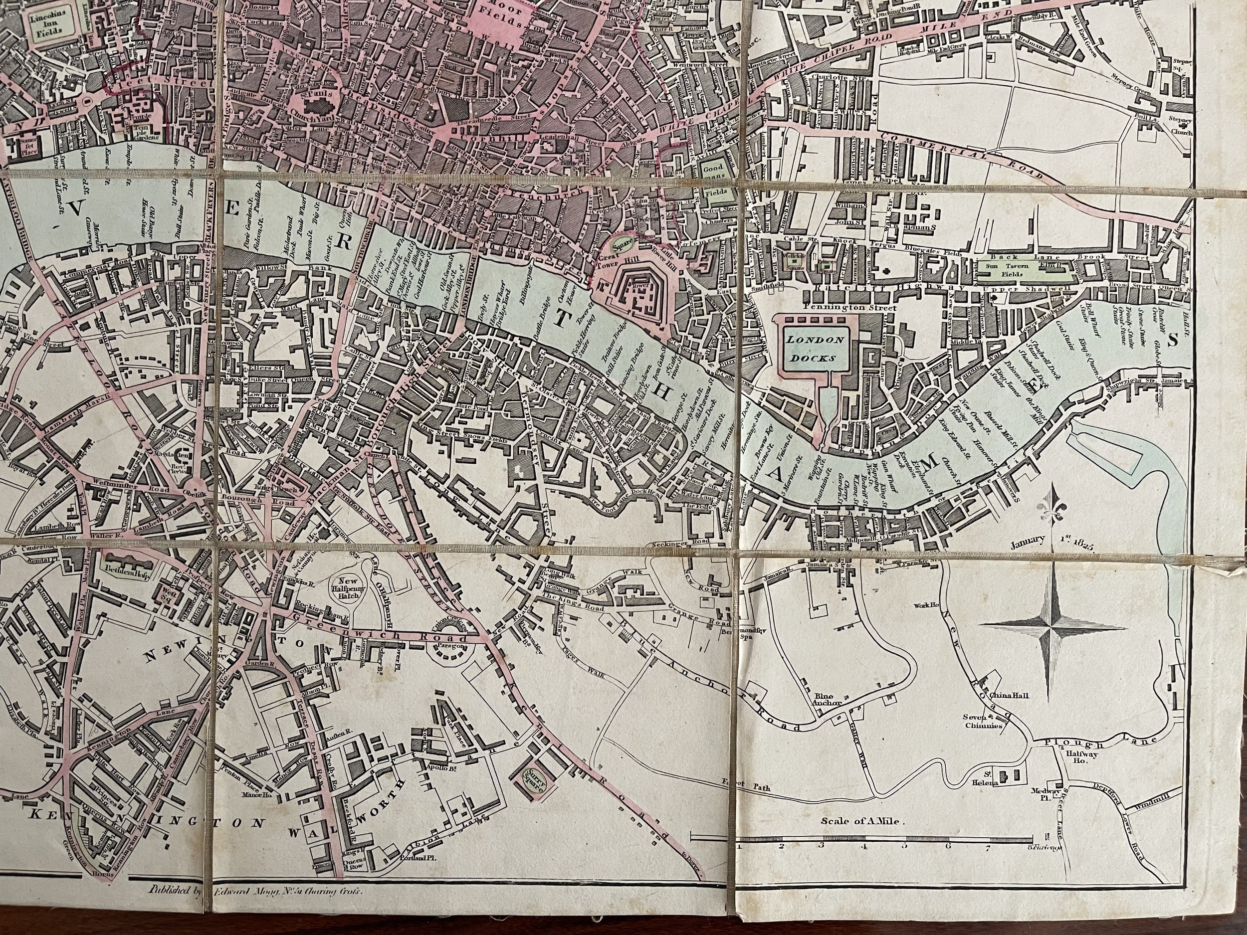 Image 8 of 14
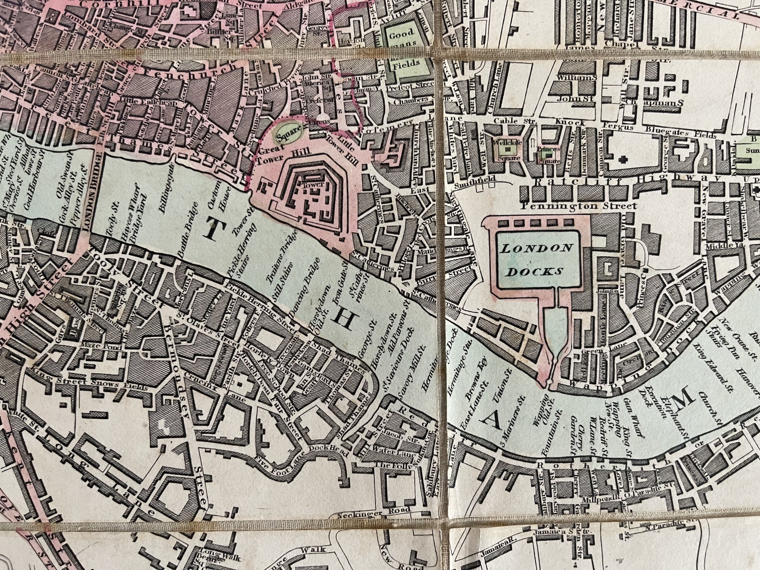 Image 9 of 14
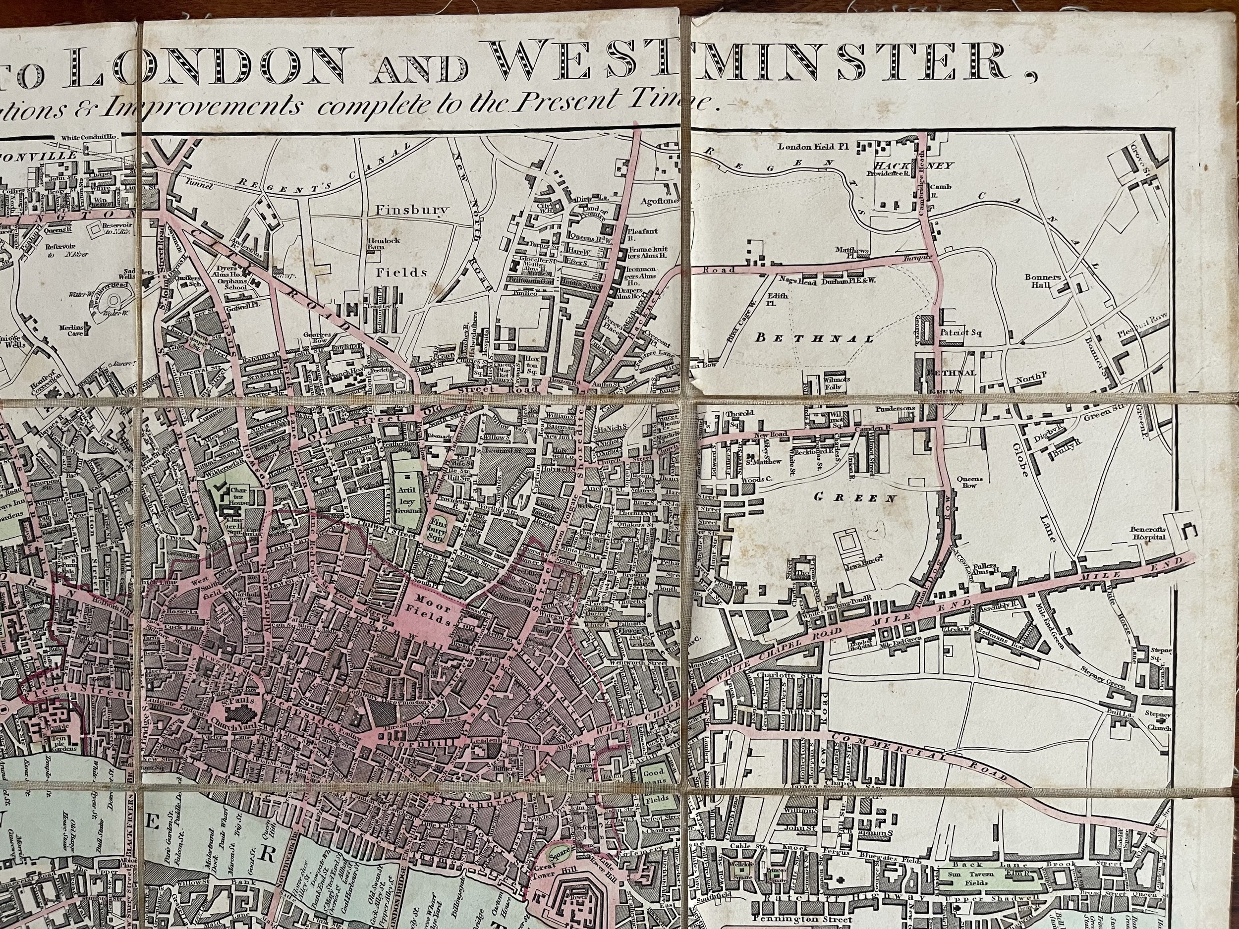 Image 10 of 14
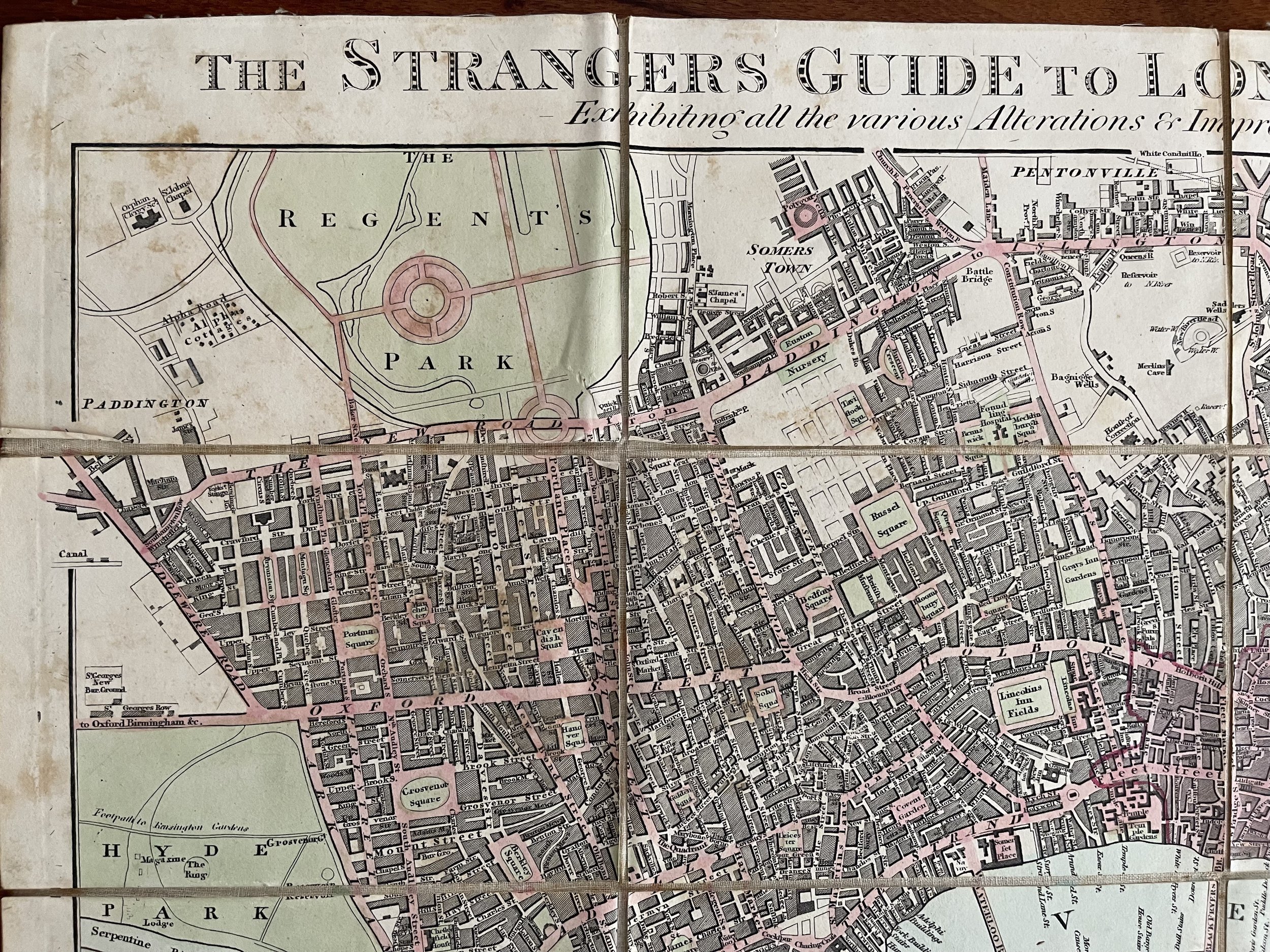 Image 11 of 14
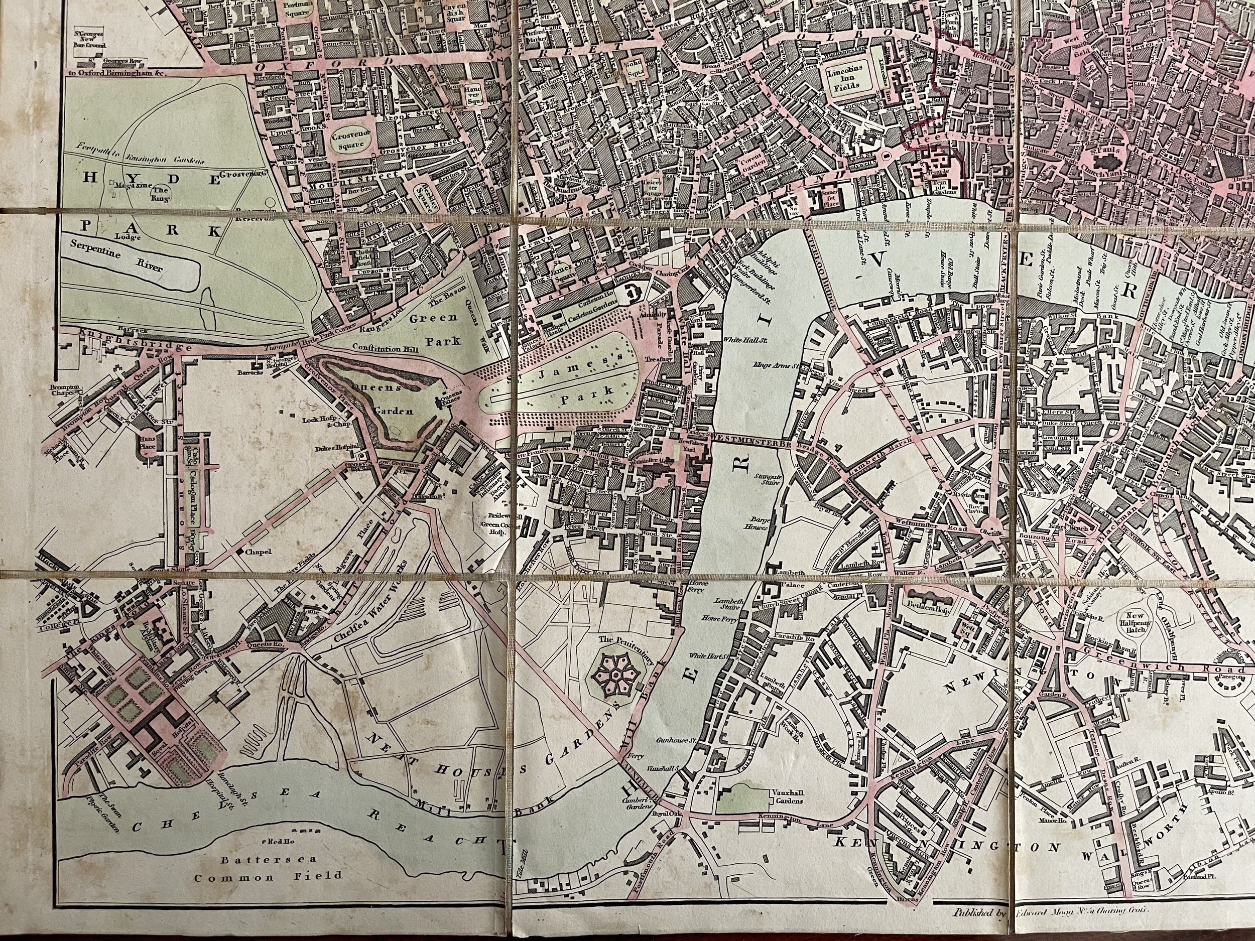 Image 12 of 14
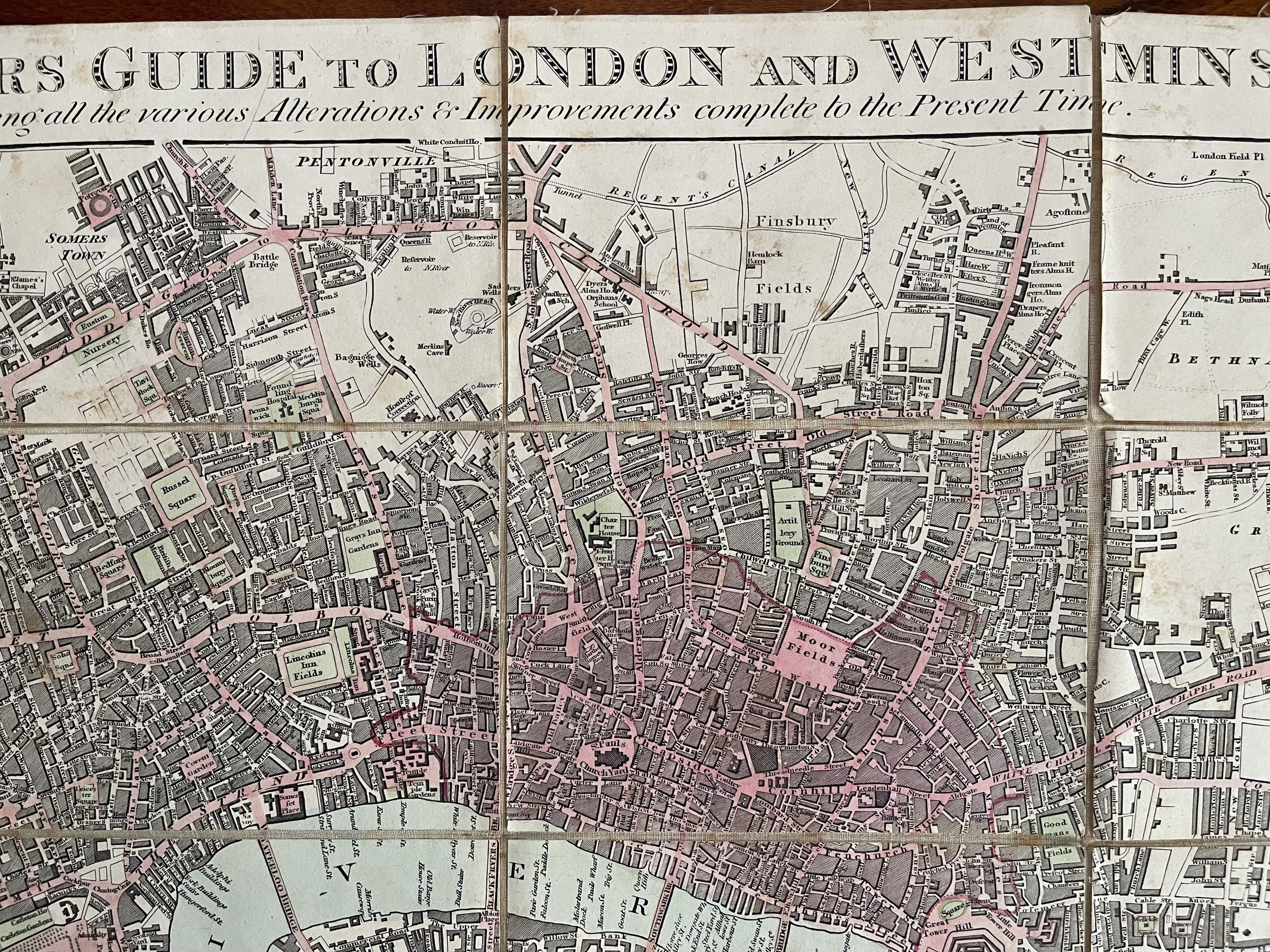 Image 13 of 14
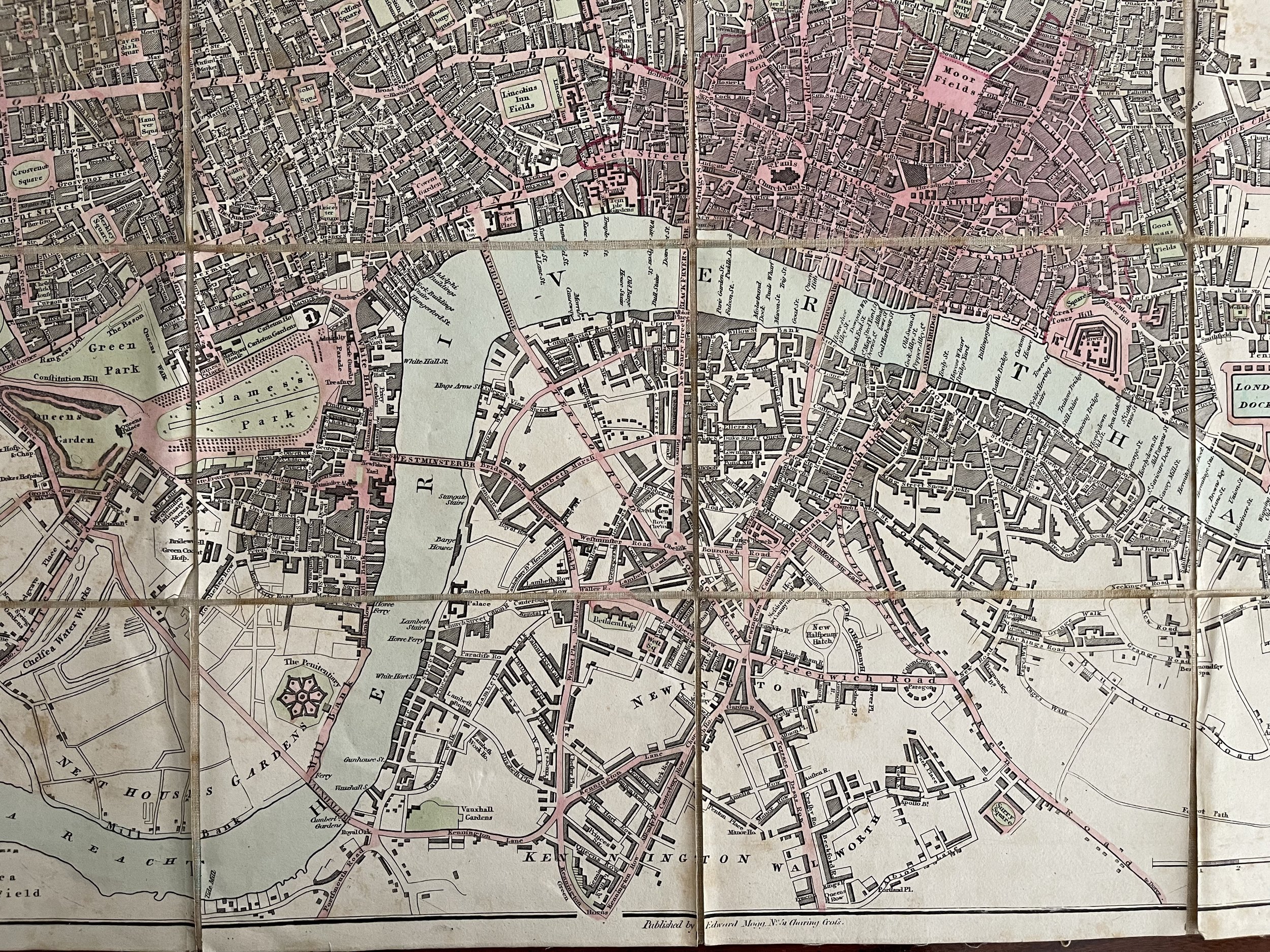 Image 14 of 14