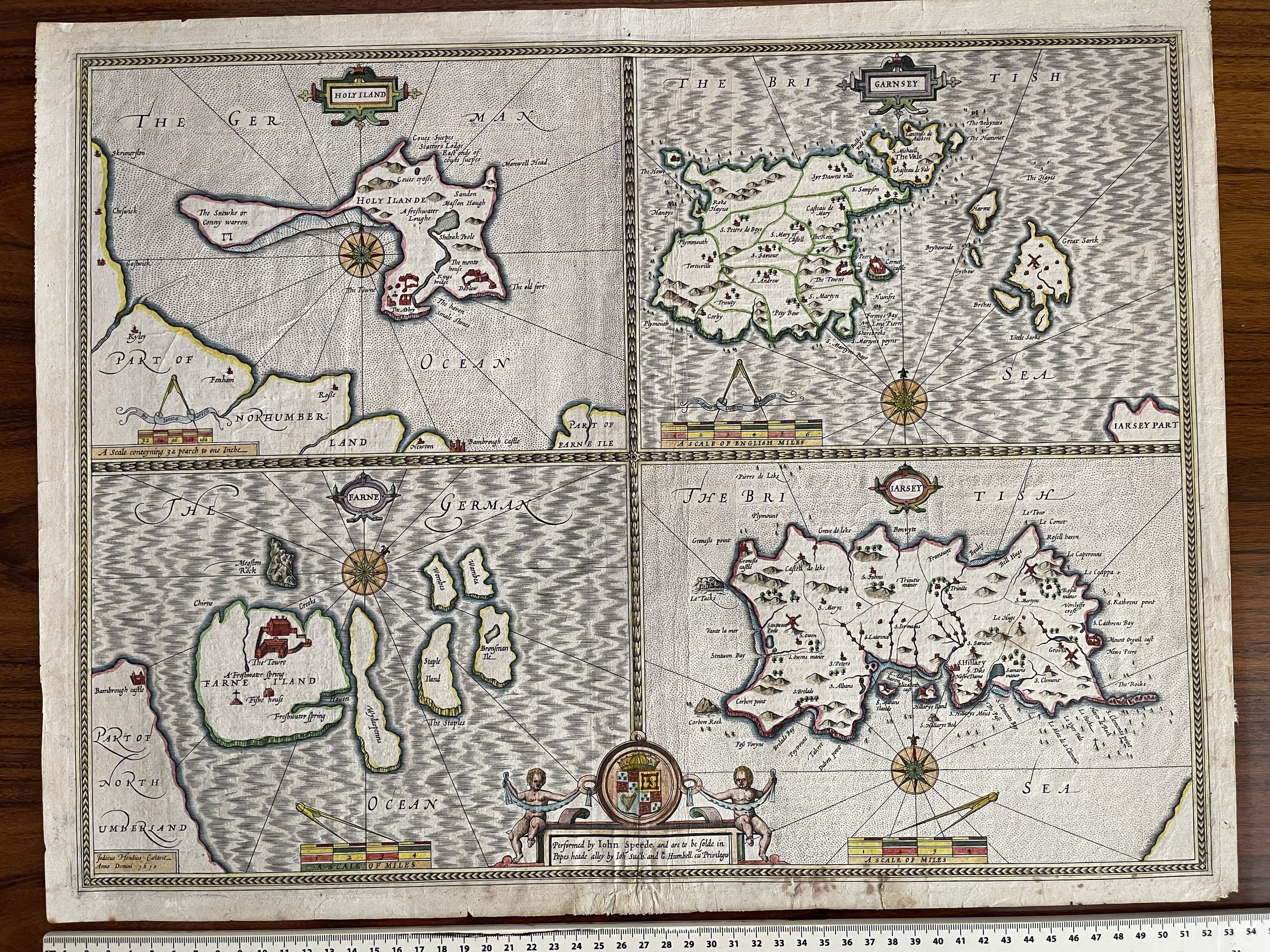
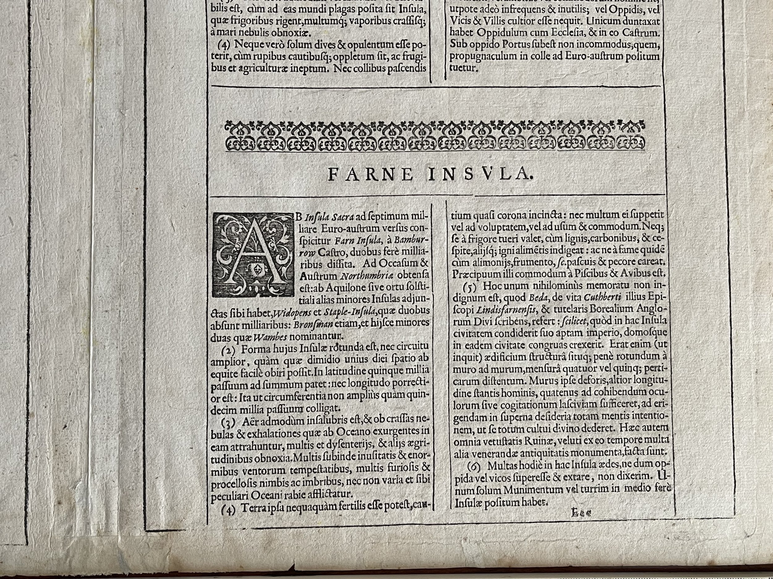
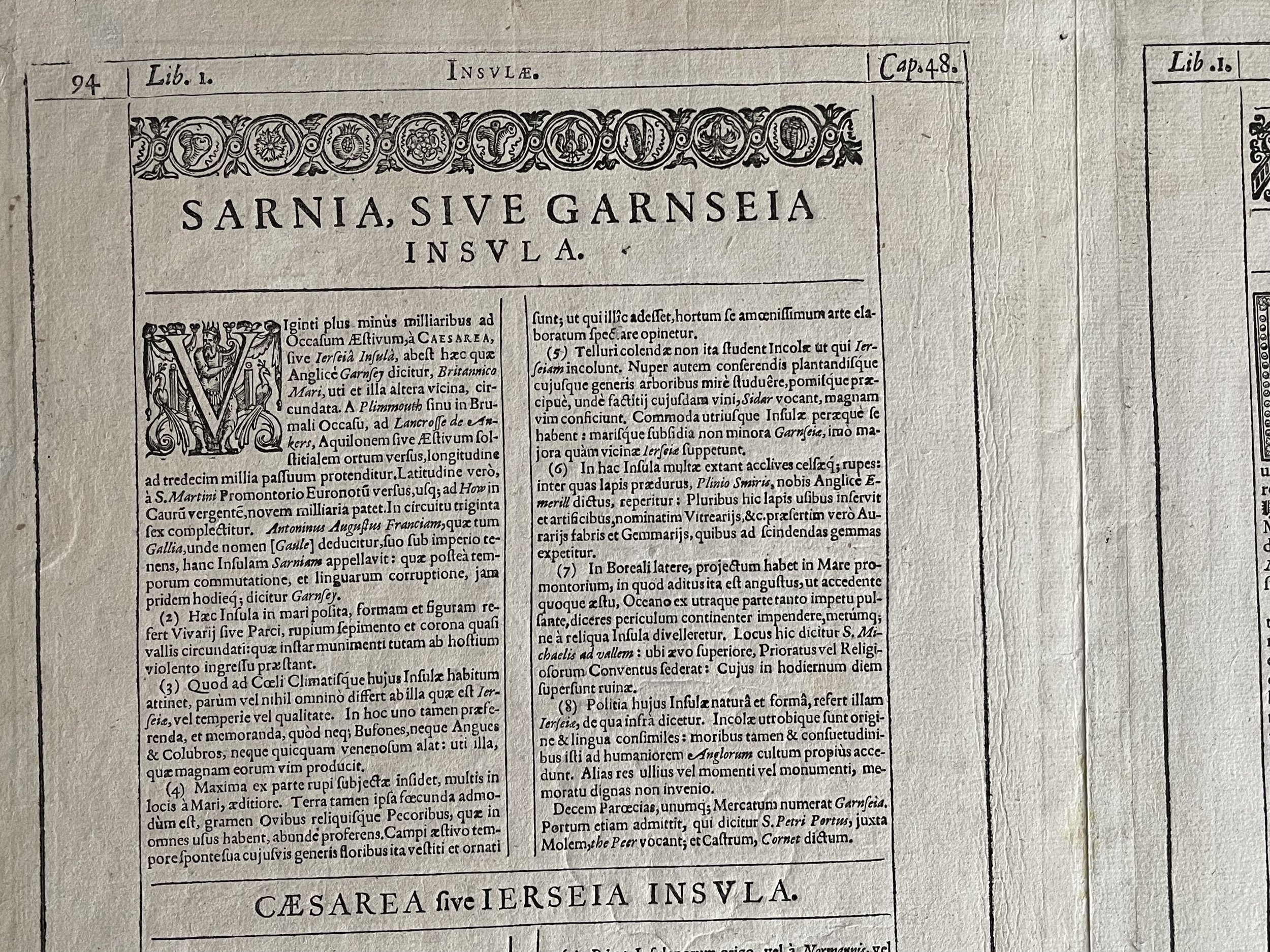
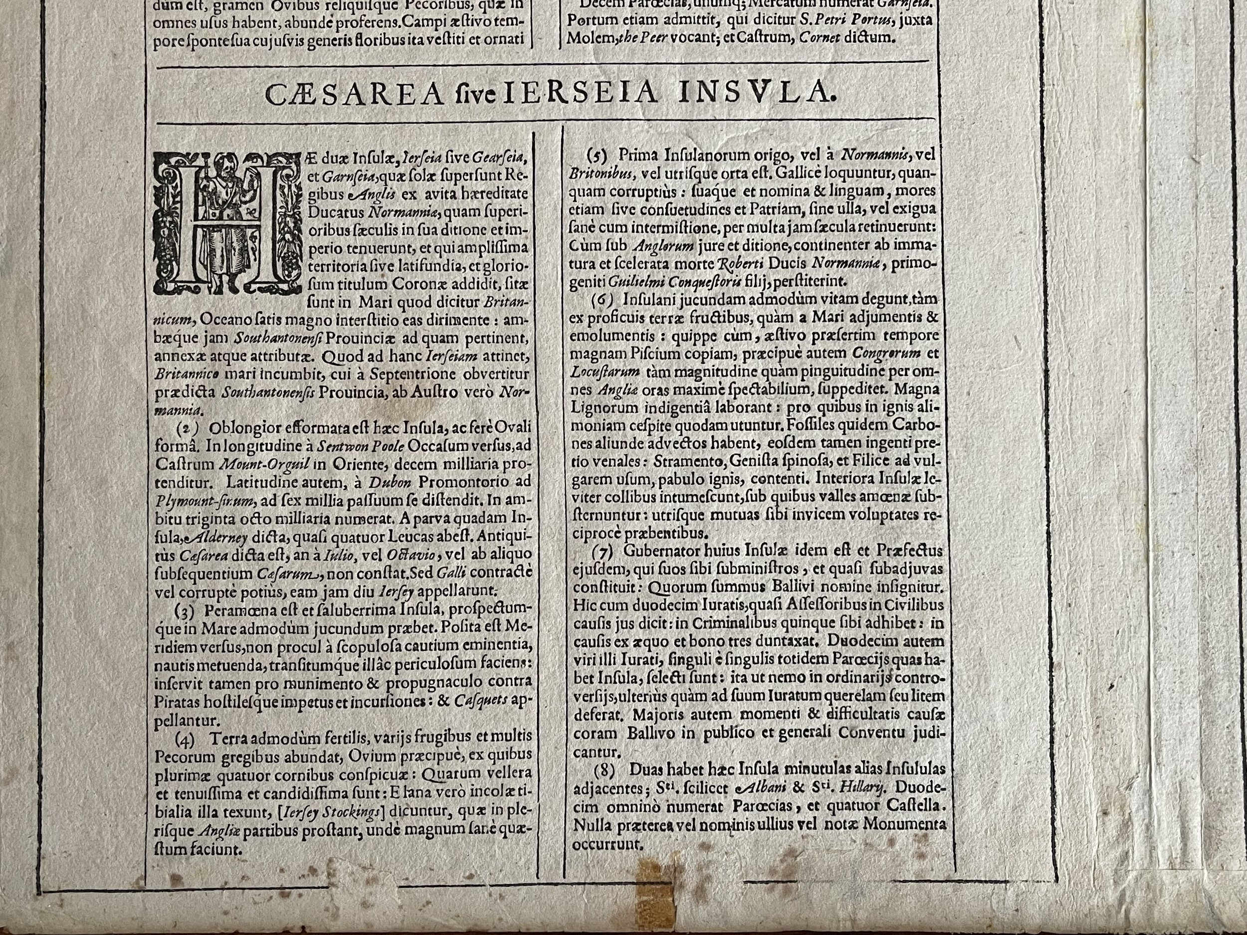
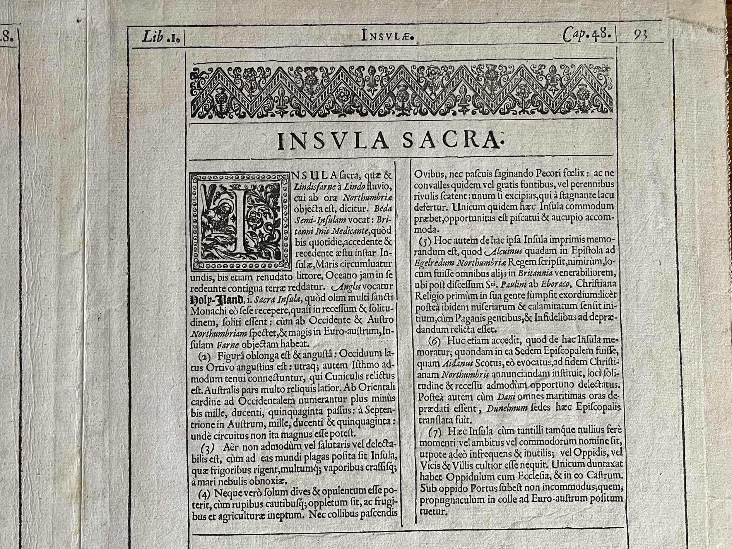
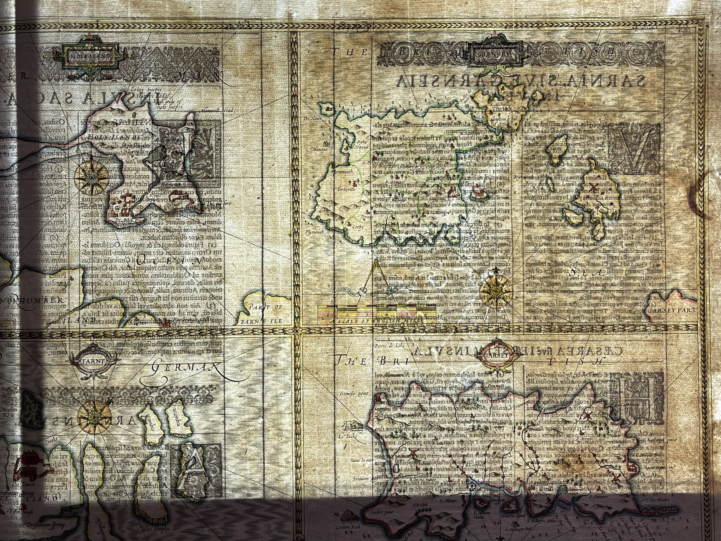
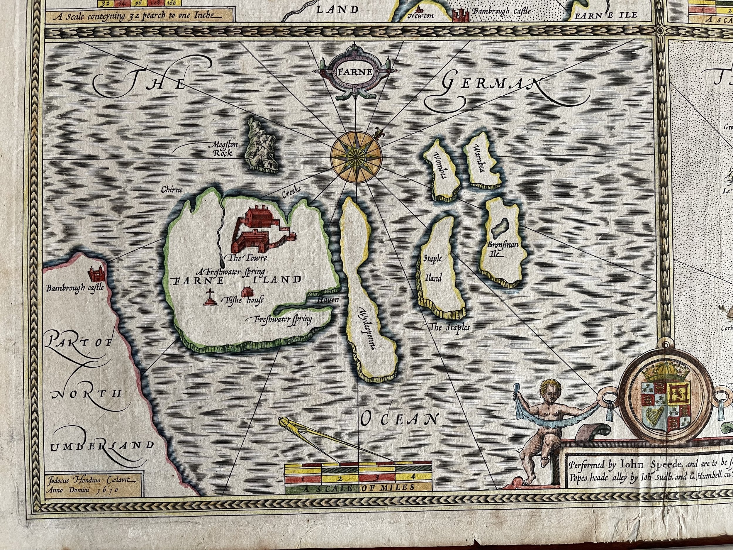
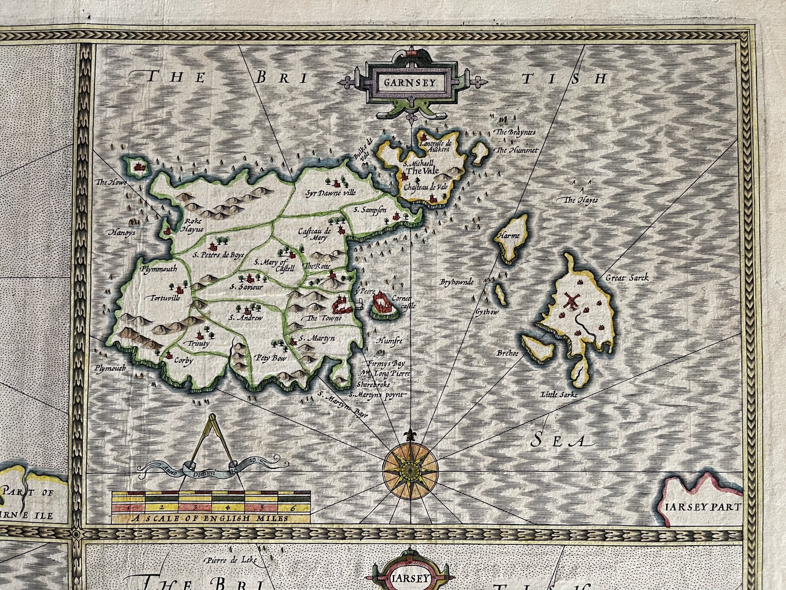
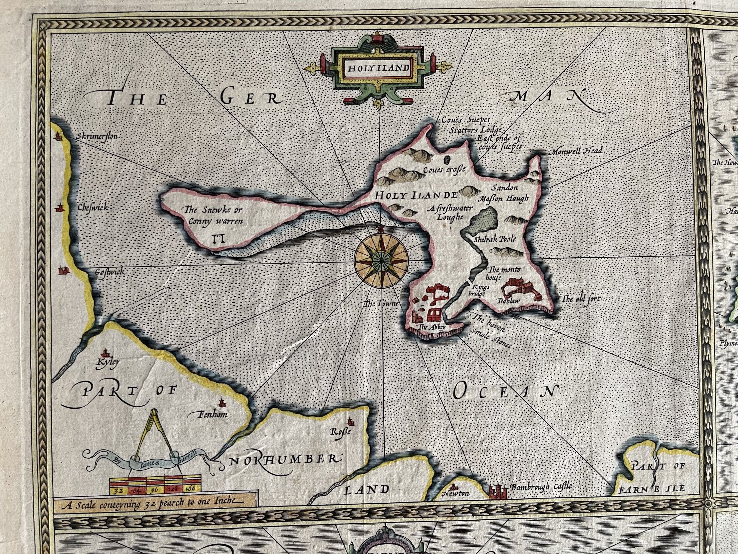
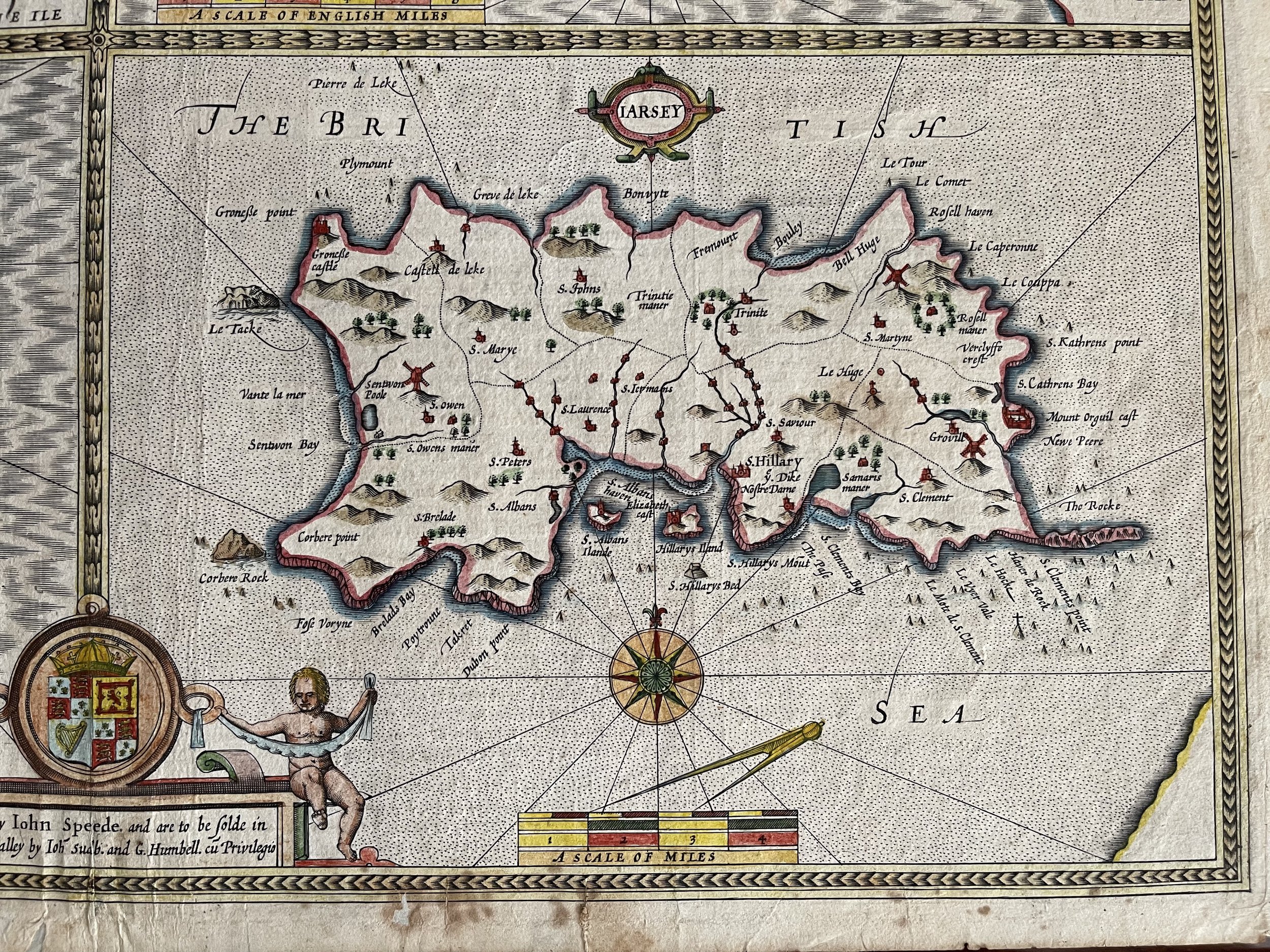
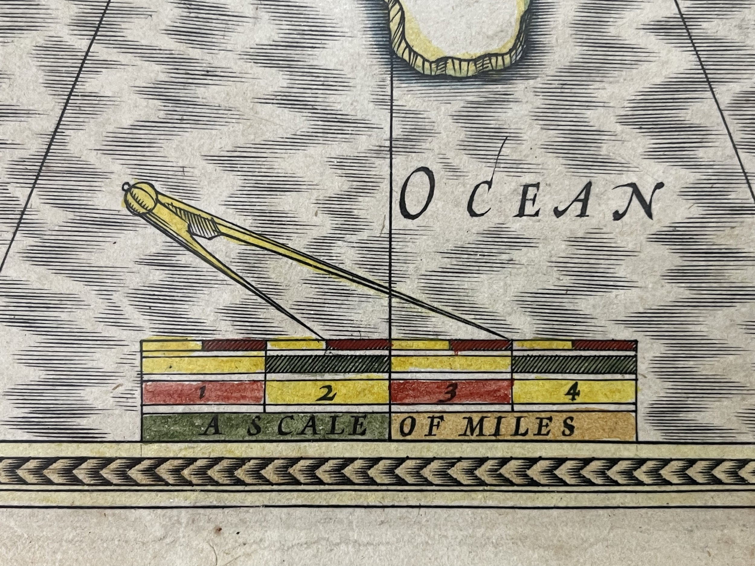
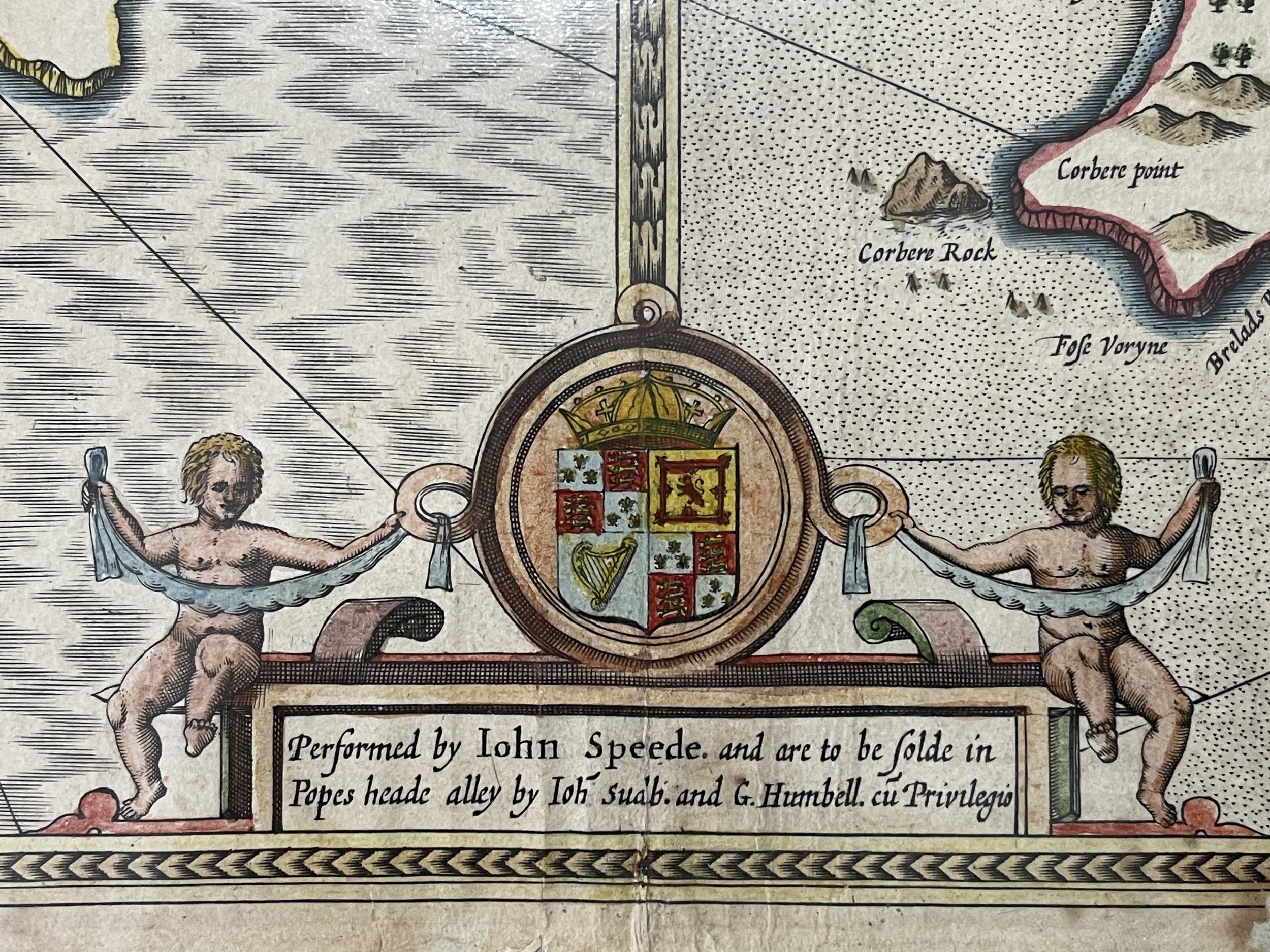
An antique map of the Channel Islands , Holy Island and Farne from the "Theatre of Great Britaine" by John Speed, published by John Sudbury and George Humble. The colouring is later. English text to verso.
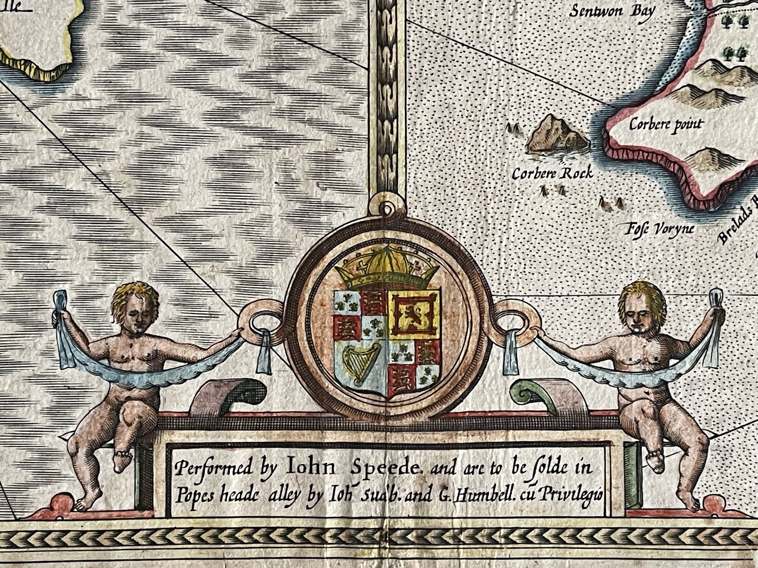
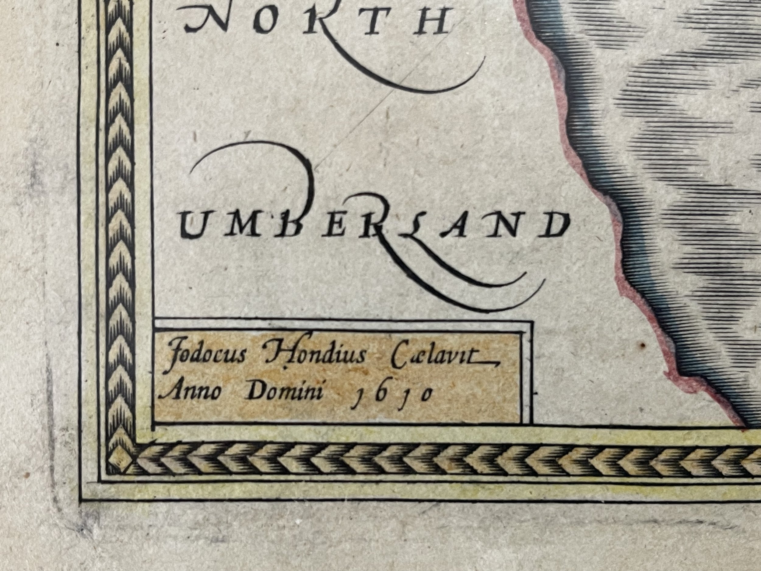
Provenance - Thomas Chubb The Printed Maps in the Atlases of Great Britain and Ireland 1579-1870, Page 28, Number 47. Performed by John Speede and are to be solde in Popes heade Alley against the exchange by John Sudbury and George Humble (bottom middle) Anno Domini 1610 (bottom left). (SeePhoto).
A very decorative early 17th century map of Lindisfarne (‘Holy Island’), the Farne Islands, Guernsey (with Herm and Sark) and Jersey which was ‘performed’ by John Speed and published in his Theatre of the Empire of Great Britaine (London: Sudbury & Humble, 1611-1616 [Latin Text: William Hall & John Beale woodcut initial]). On the reverse of the map there is a complete set of text (in Latin) briefly describing the history and topography of the islands.
To all those interested in cartography, the name of John Speed is synonymous with early county maps of Great Britain. His predecessors, Saxton, Norden, and one or two lesser figures had laid the groundwork for the first mapping of Britain in the days of Queen Elizabeth. By the end of the 16th century, however, the increase in travel and commerce had created a need for better maps, and Speed's quickly replaced those of his predecessors. Not only were they more accurate, but undoubtedly the beauty of the engraving, the fine lettering and elaborate ornamentation appealed to the original buyers as much as they do to us today. Speed's atlas was so ambitious and of such high artistic and intellectual merit that it remained the standard reference for Great Britain until the beginning of the eighteenth century. The atlas was so highly acclaimed that editions continued to appear until the 1770's.
John Speed (1552-1629) - was one of the earliest English antiquarians, and his interest in history led him to add vignettes to his maps of great past events, together with town and architectural plans. Most maps, for example, contain representations of battles that occurred in the given county, of ancient artefacts and monuments, such as Stonehenge, and of the great cathedrals and palaces of medieval and Tudor England. The plates were engraved in Amsterdam by the great Dutch mapmaker Jodocus Hondius and exhibit the highest level of craftsmanship and artistic embellishment, reflecting the pervasive and appealing Mannerist style of the period, with strapwork and fretwork cartouches, heraldic crests, and costumed figures. The decoration and accuracy of Speed's maps, particularly with regard to the lavish use on each map of the coats-of-arms of that country's early leading nobles, inspired the later British county maps of Blaeu and Jansson.
