 Image 1 of 21

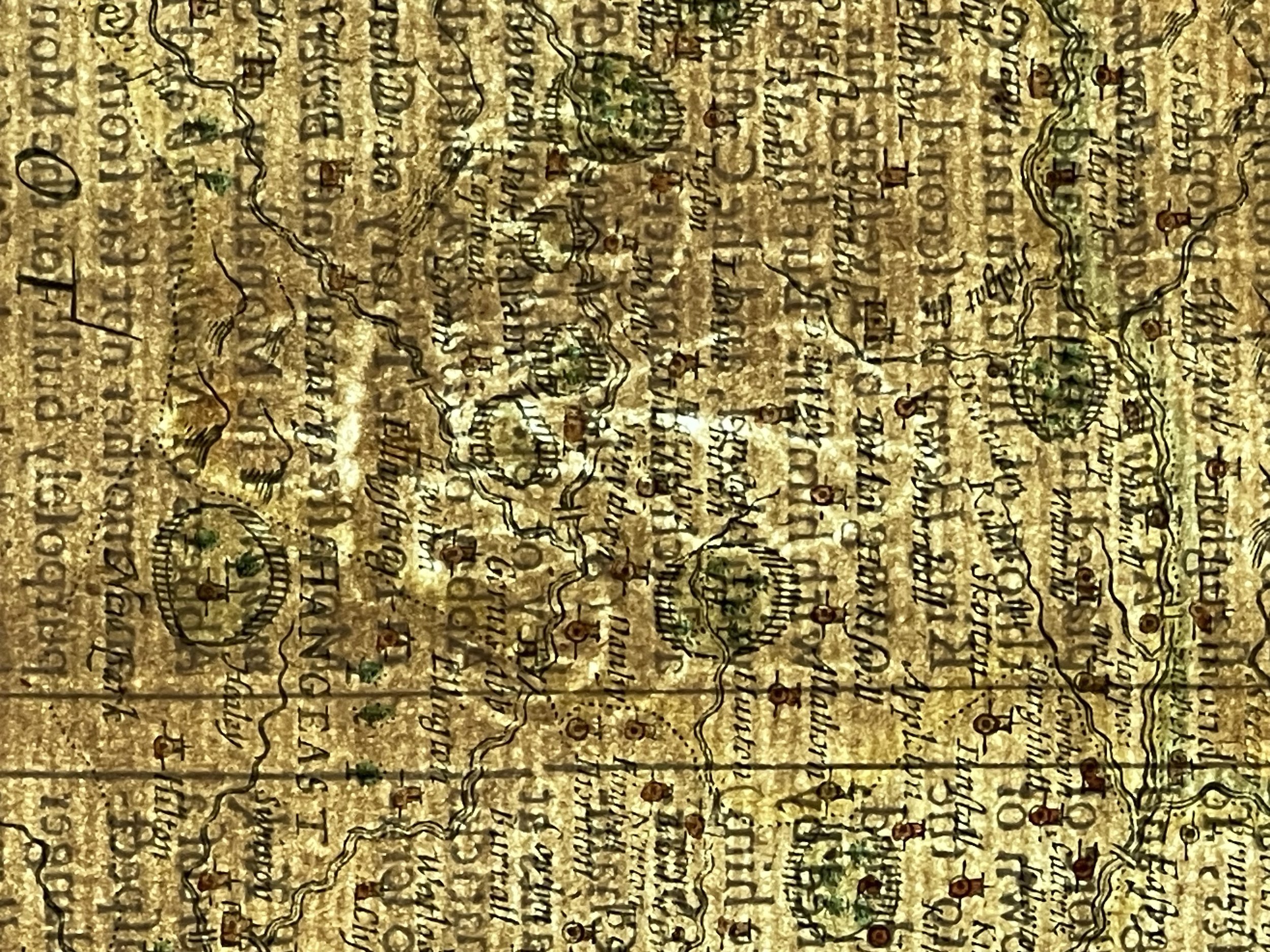 Image 2 of 21

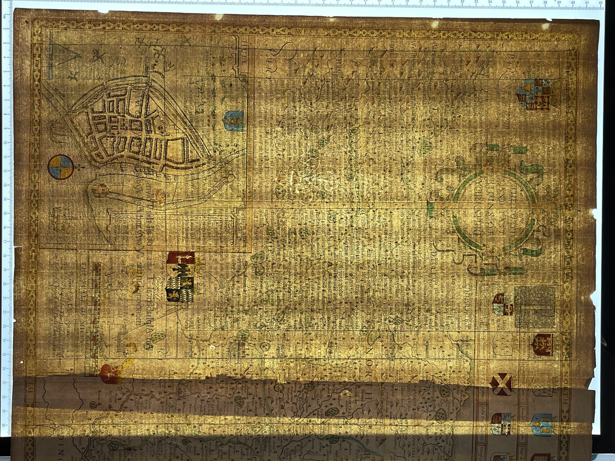 Image 3 of 21

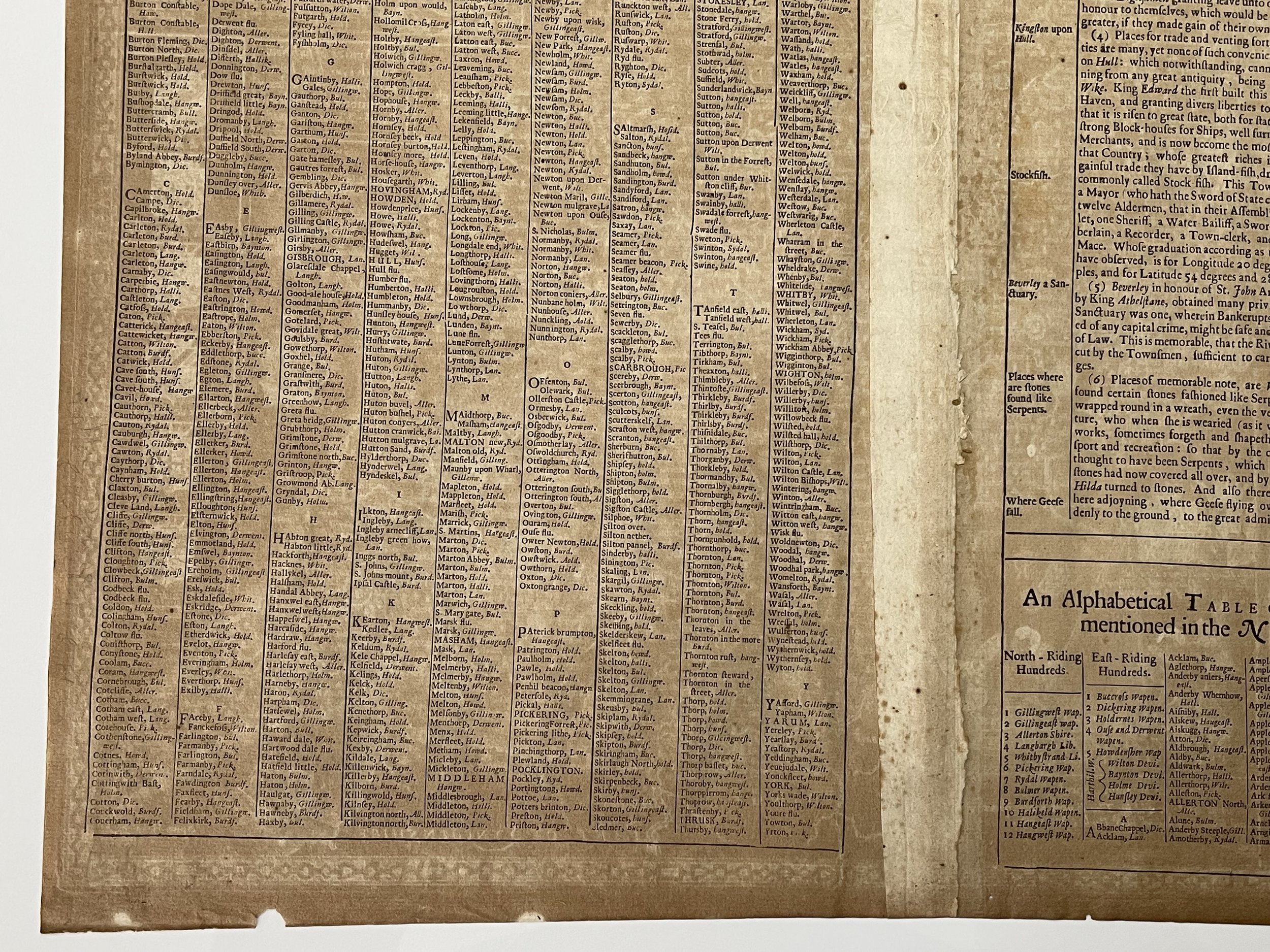 Image 4 of 21

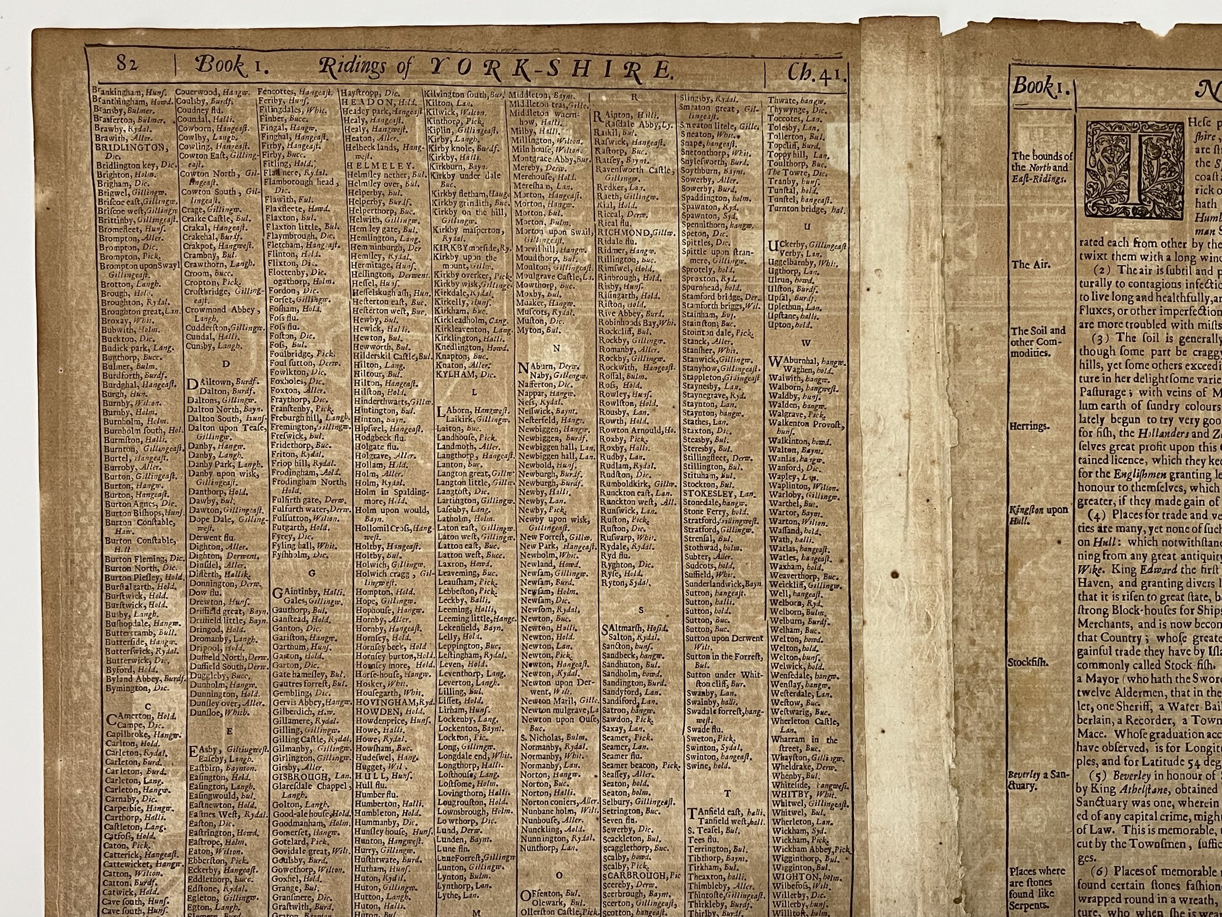 Image 5 of 21

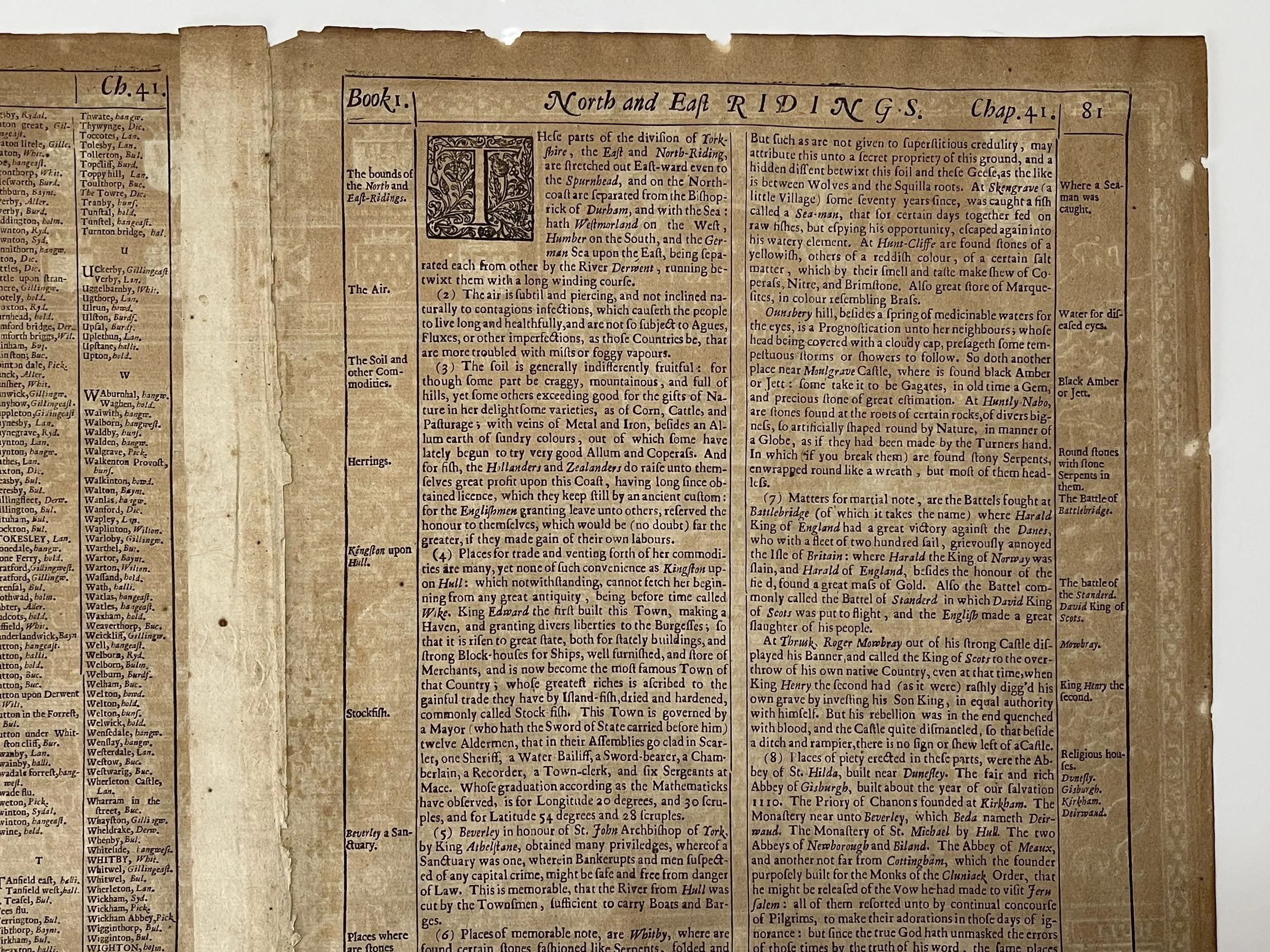 Image 6 of 21

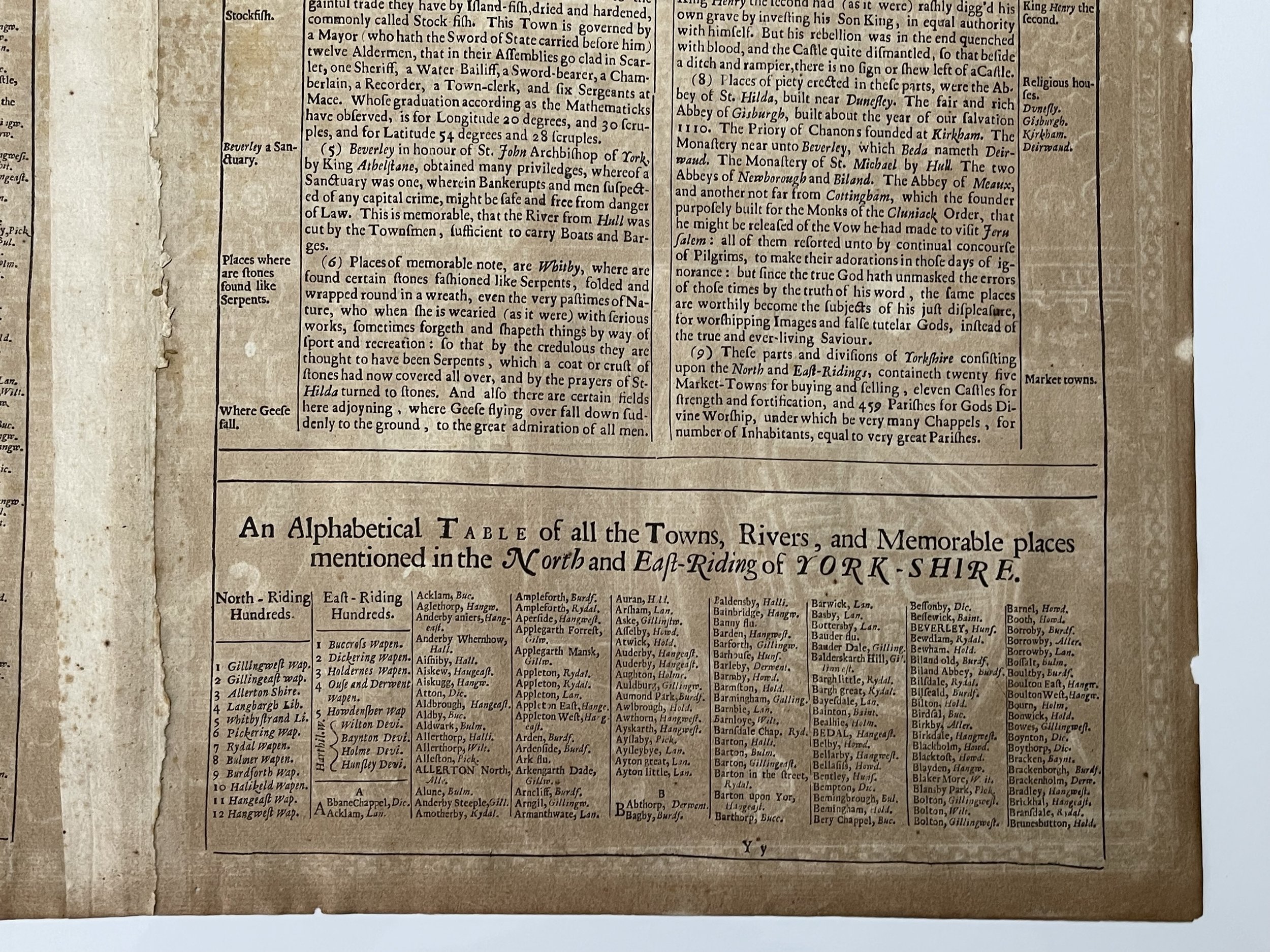 Image 7 of 21

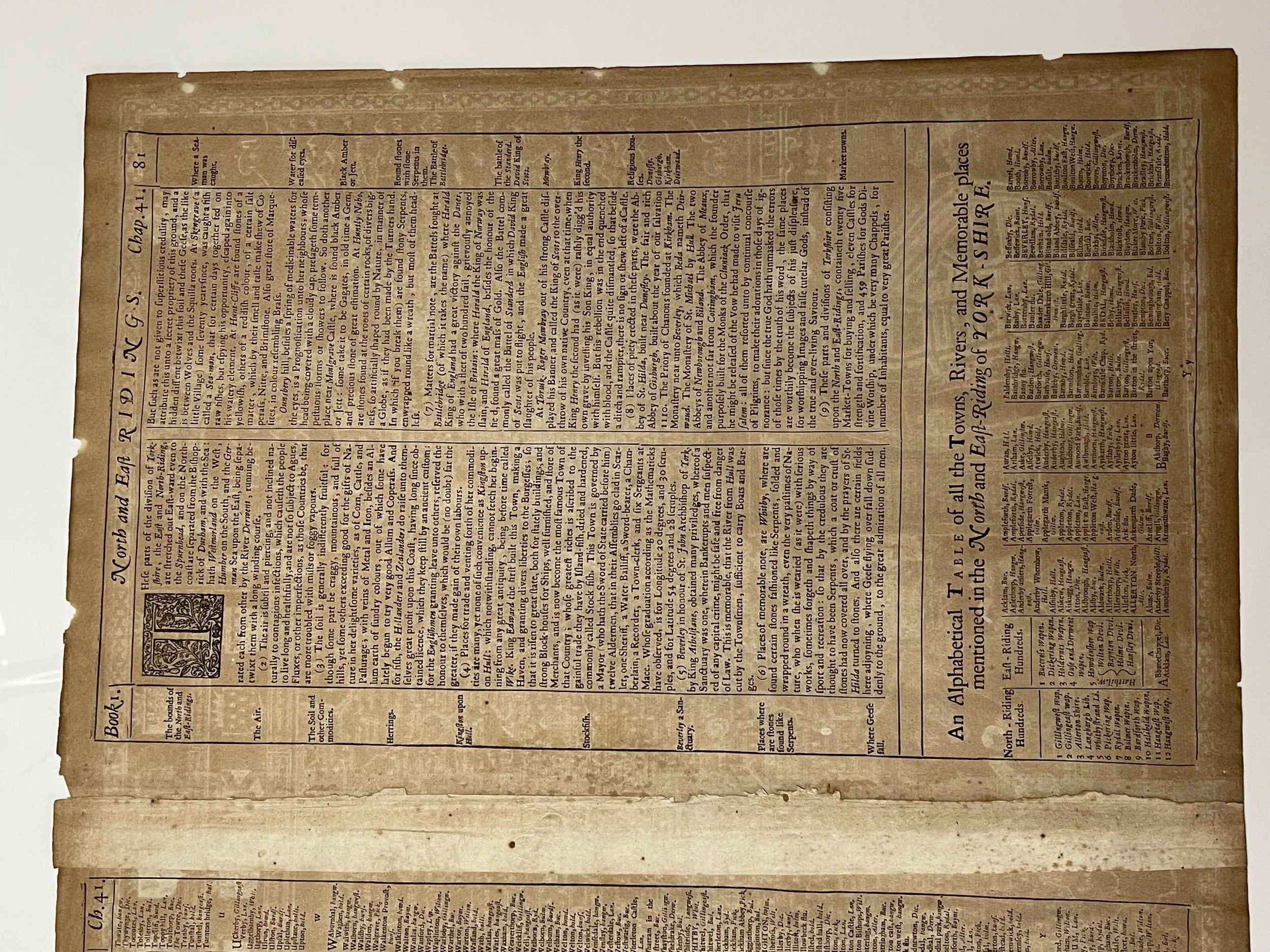 Image 8 of 21

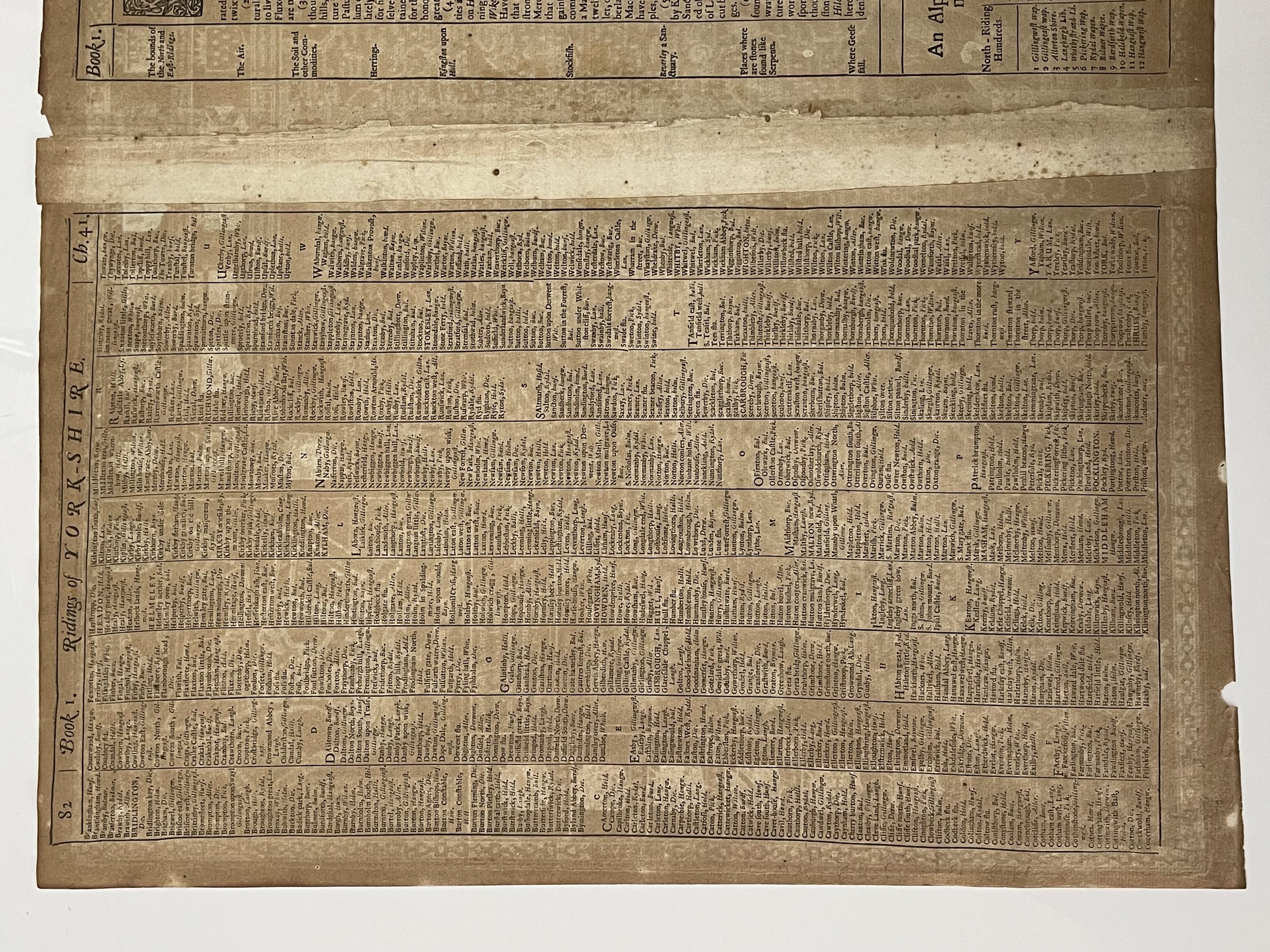 Image 9 of 21

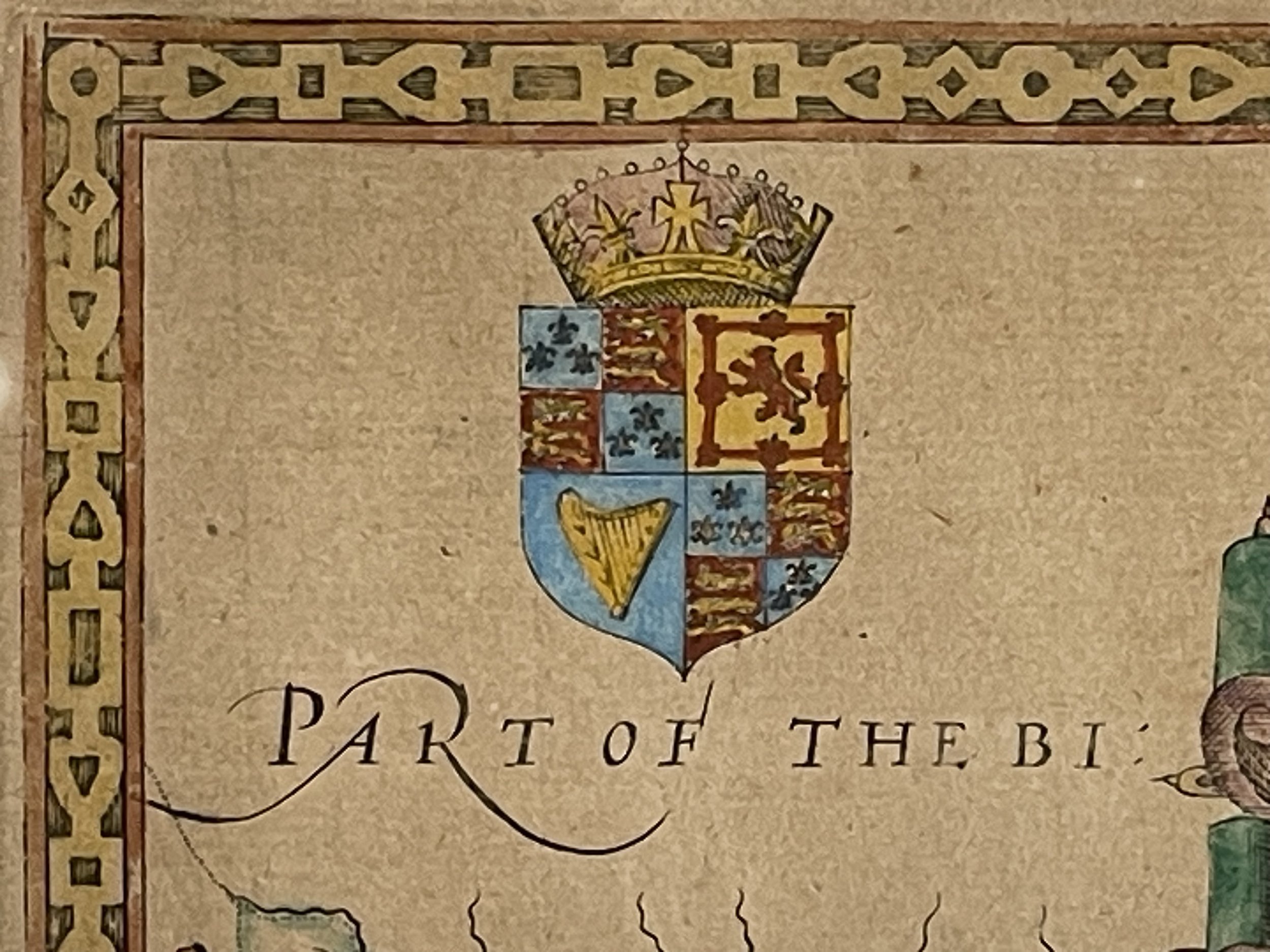 Image 10 of 21

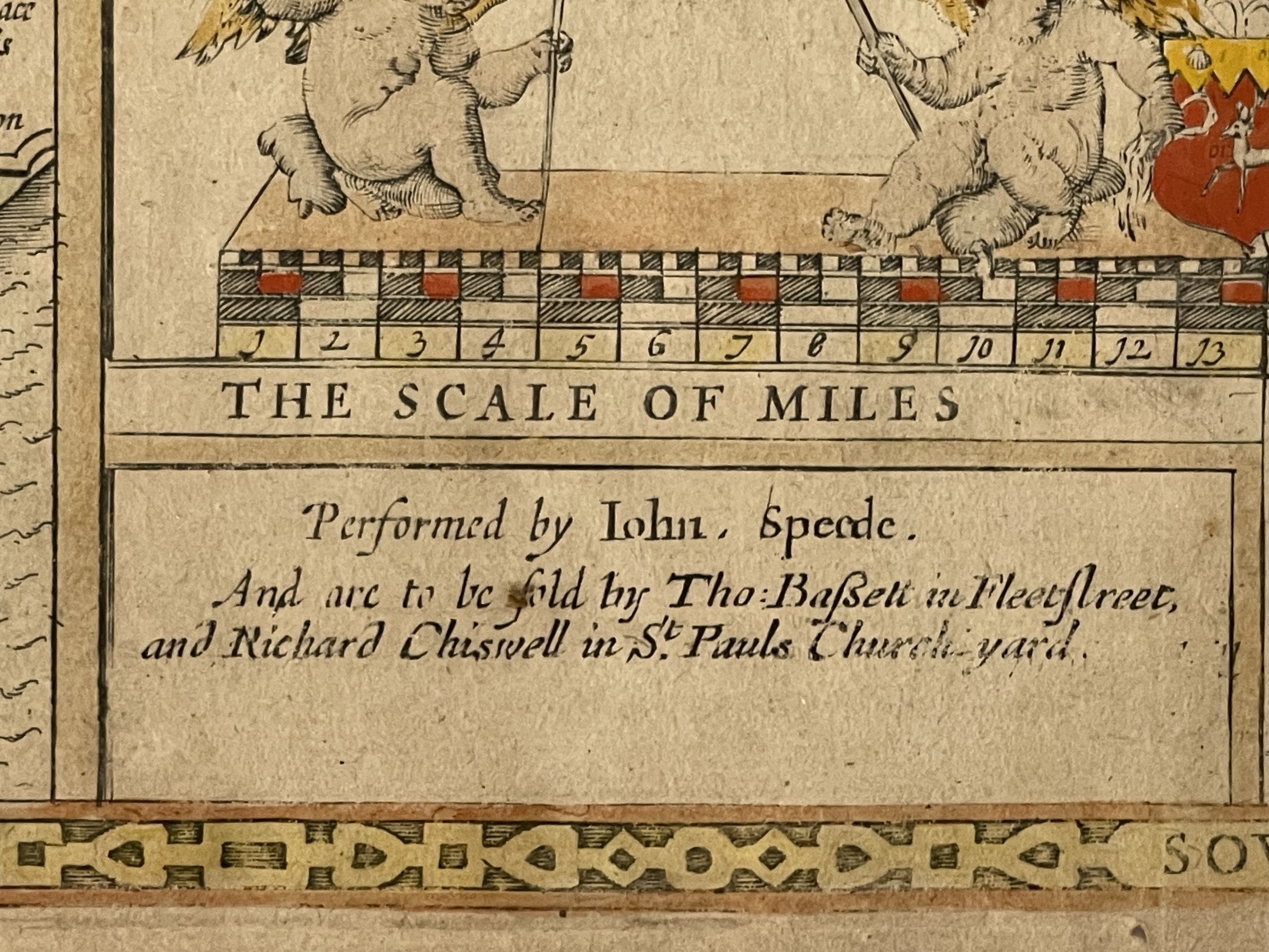 Image 11 of 21

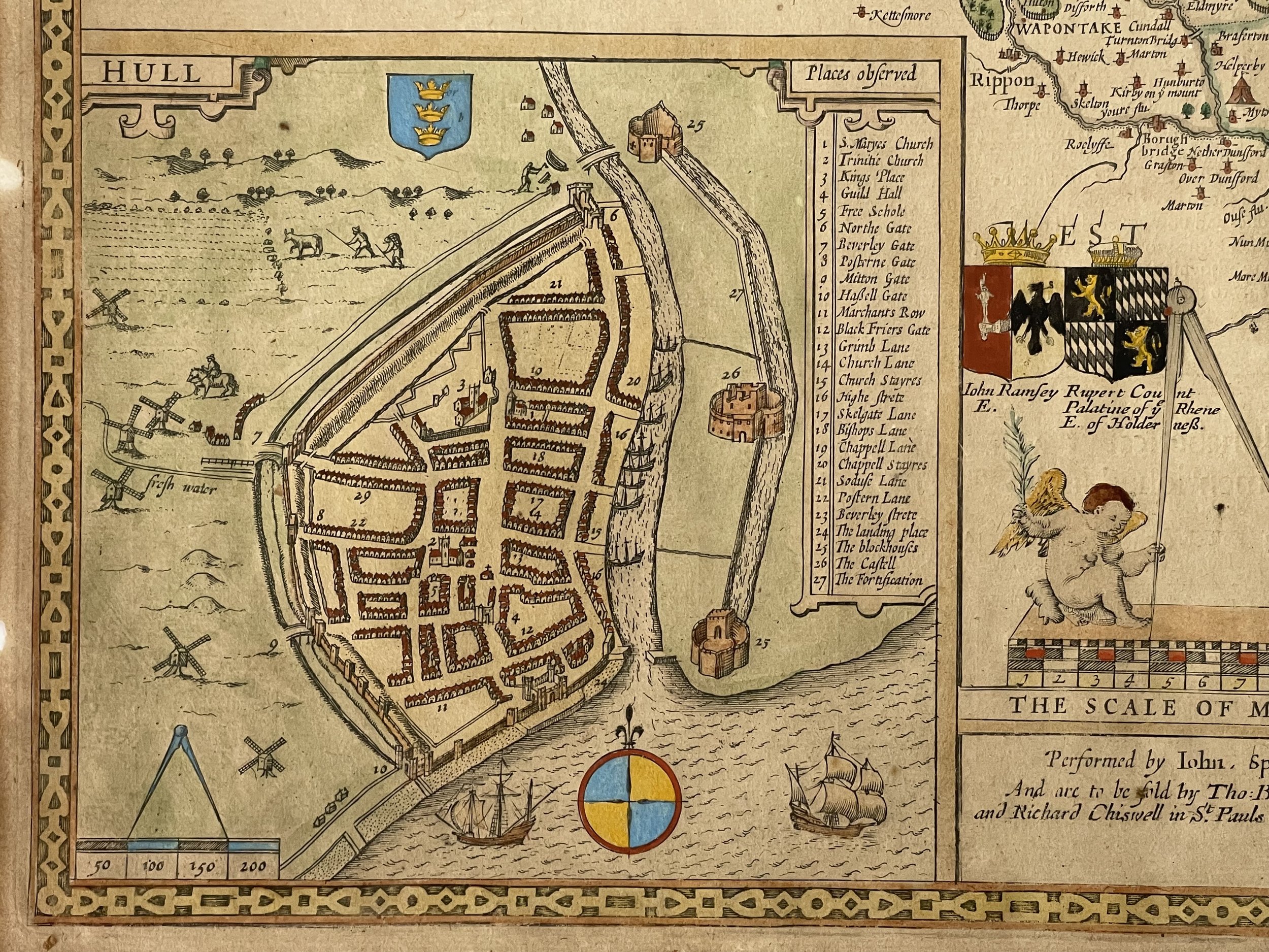 Image 12 of 21

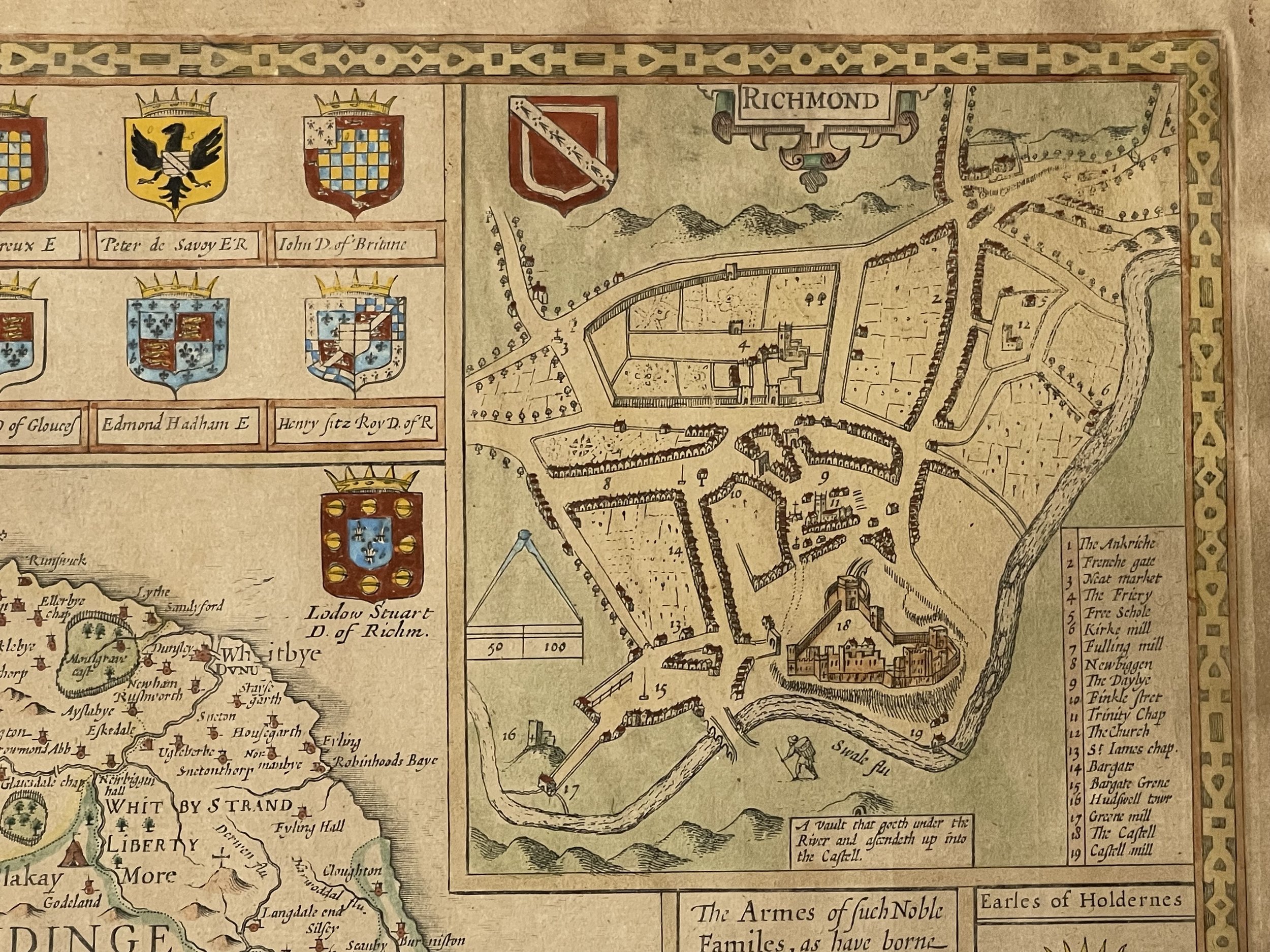 Image 13 of 21

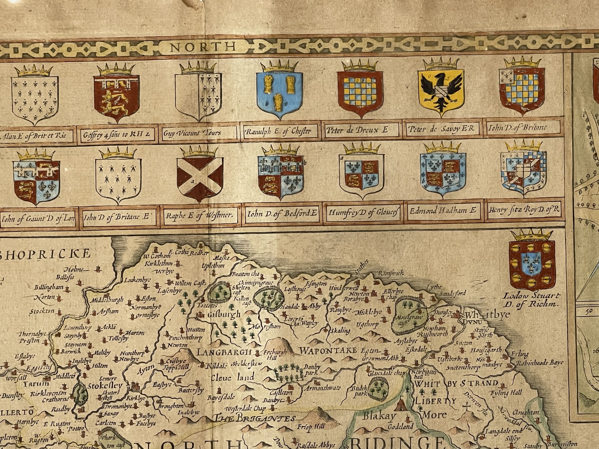 Image 14 of 21

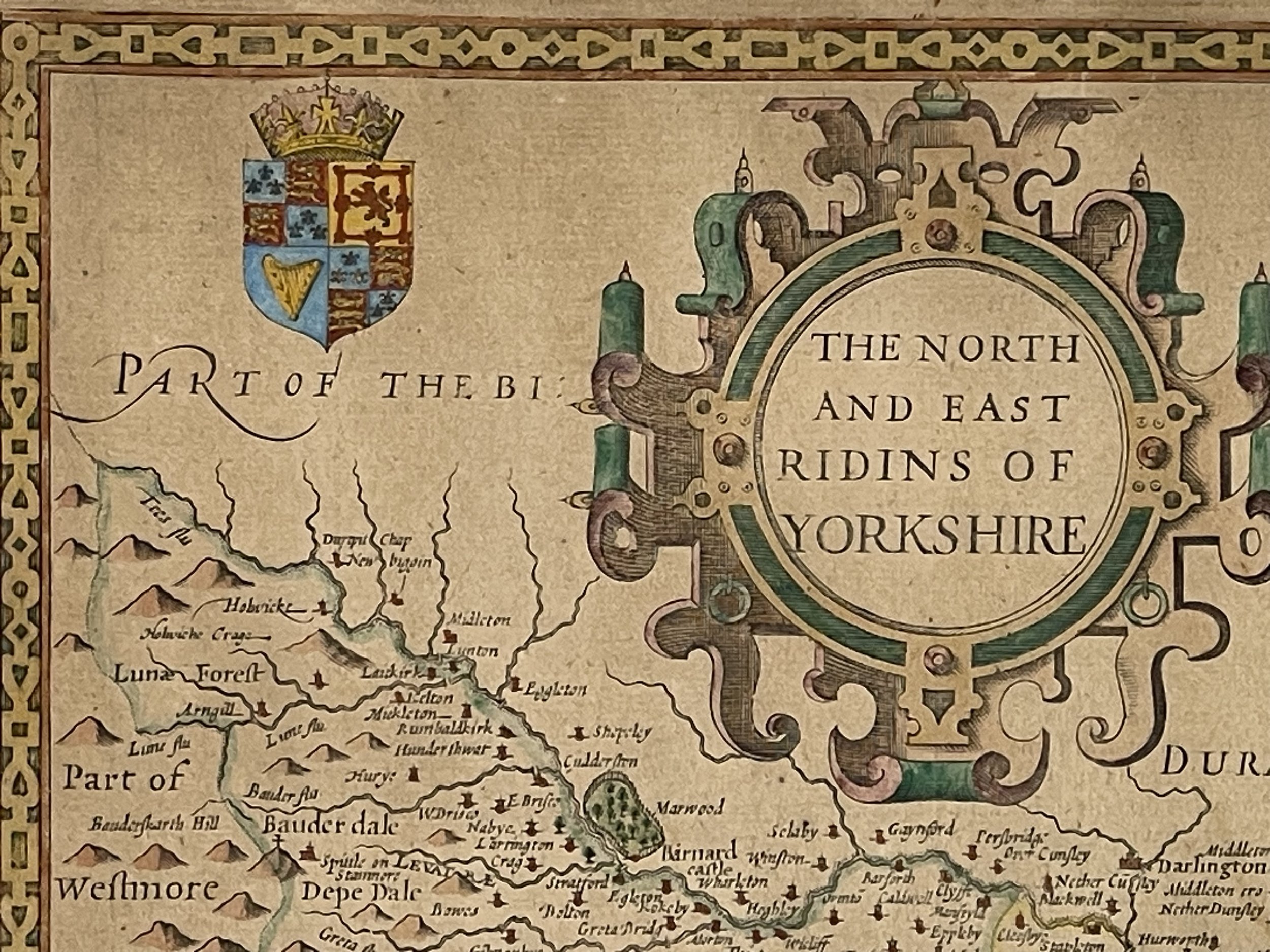 Image 15 of 21

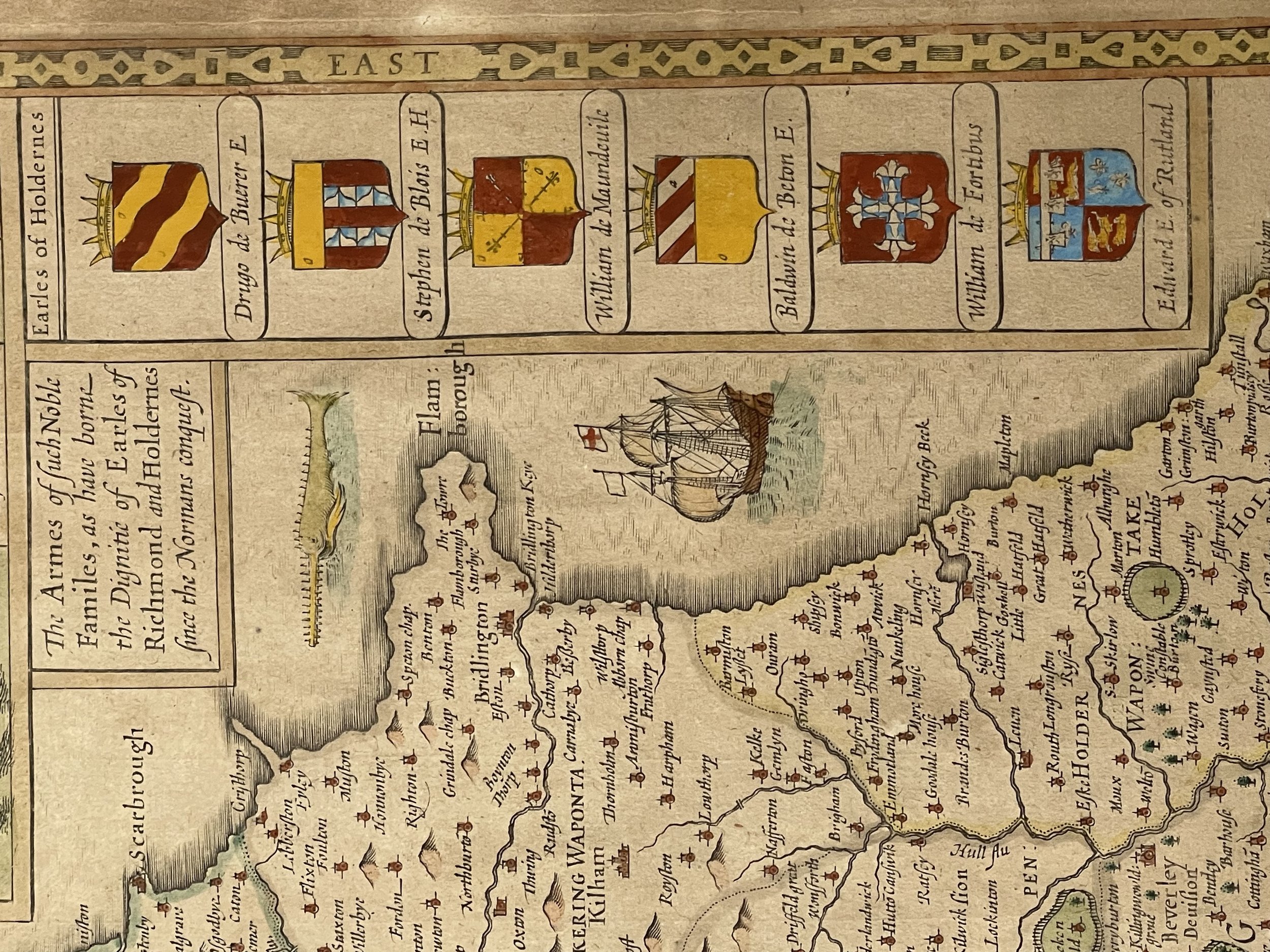 Image 16 of 21

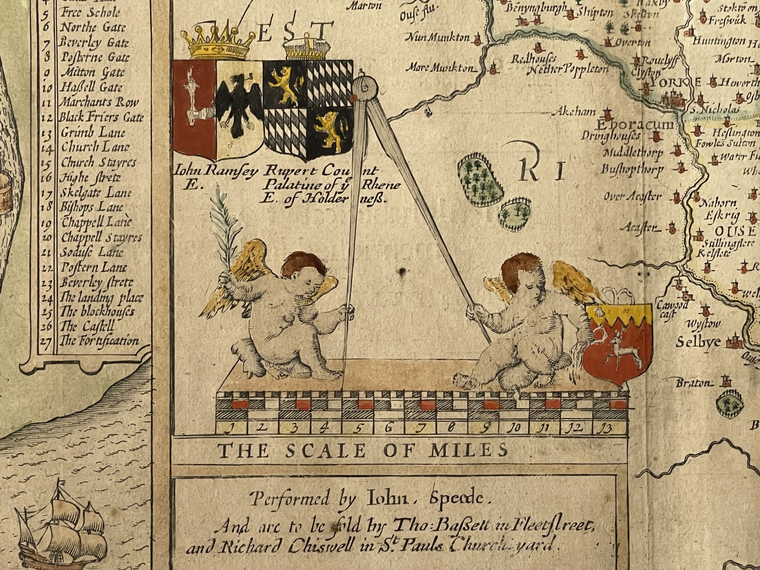 Image 17 of 21

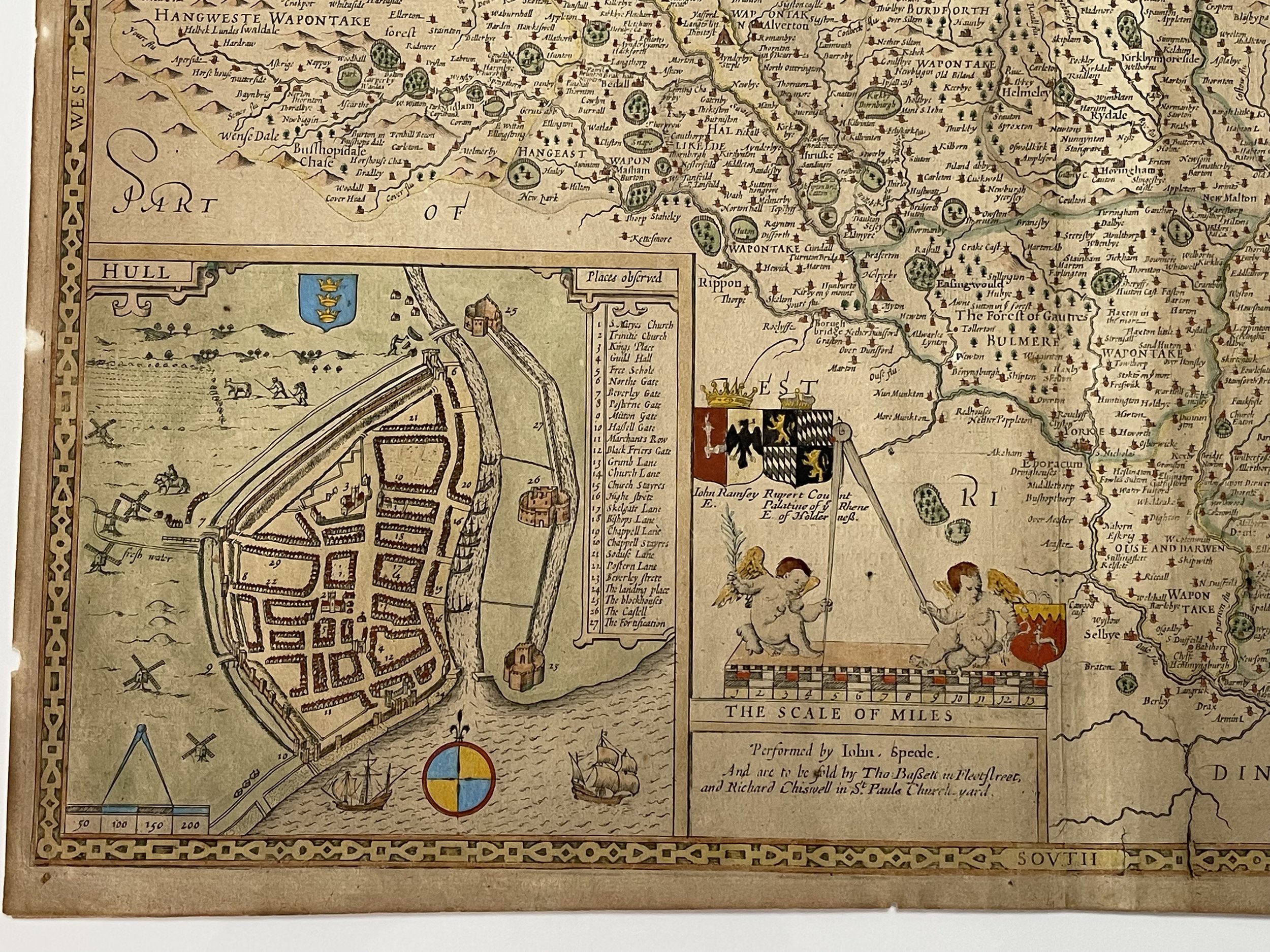 Image 18 of 21

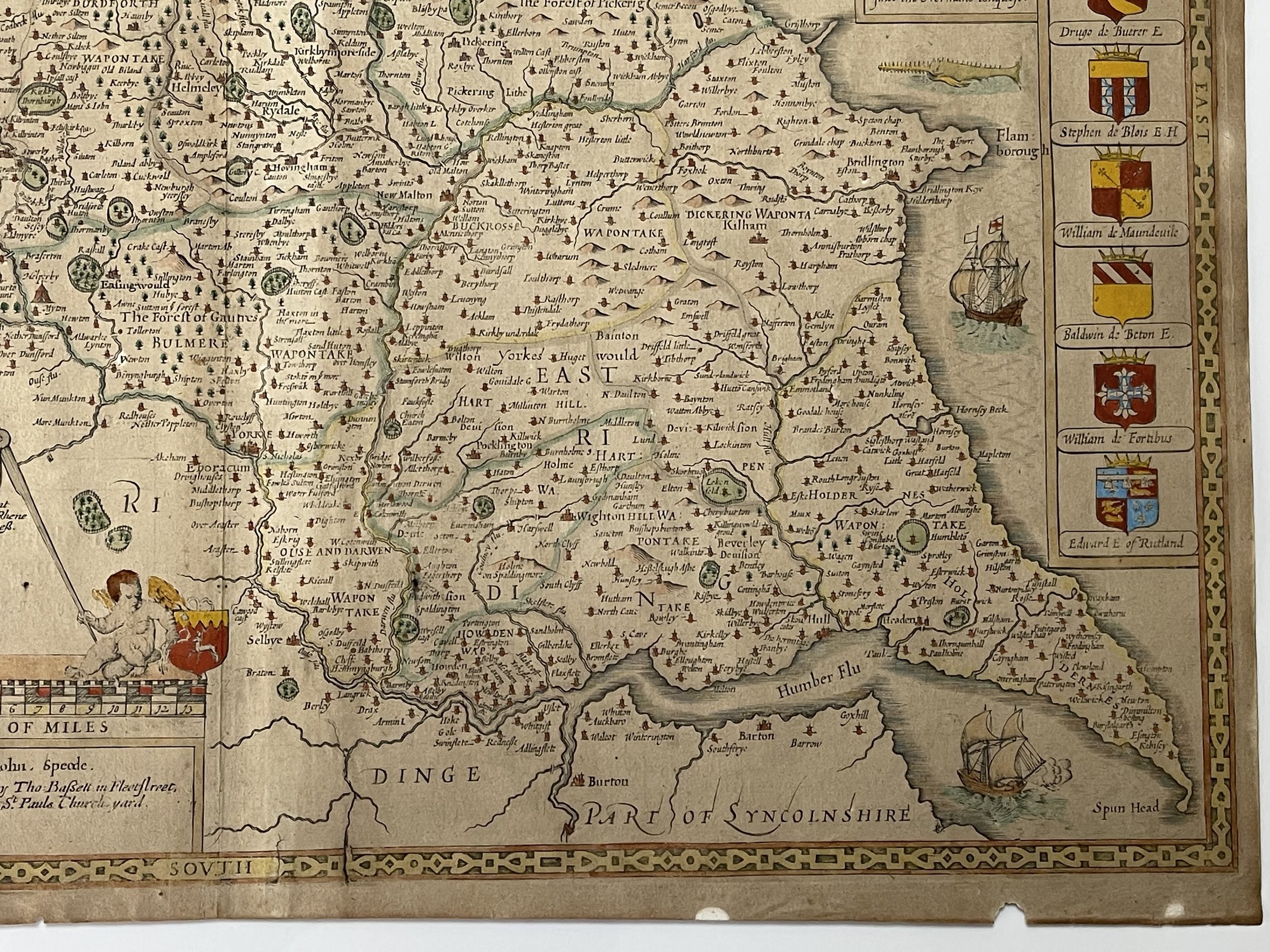 Image 19 of 21

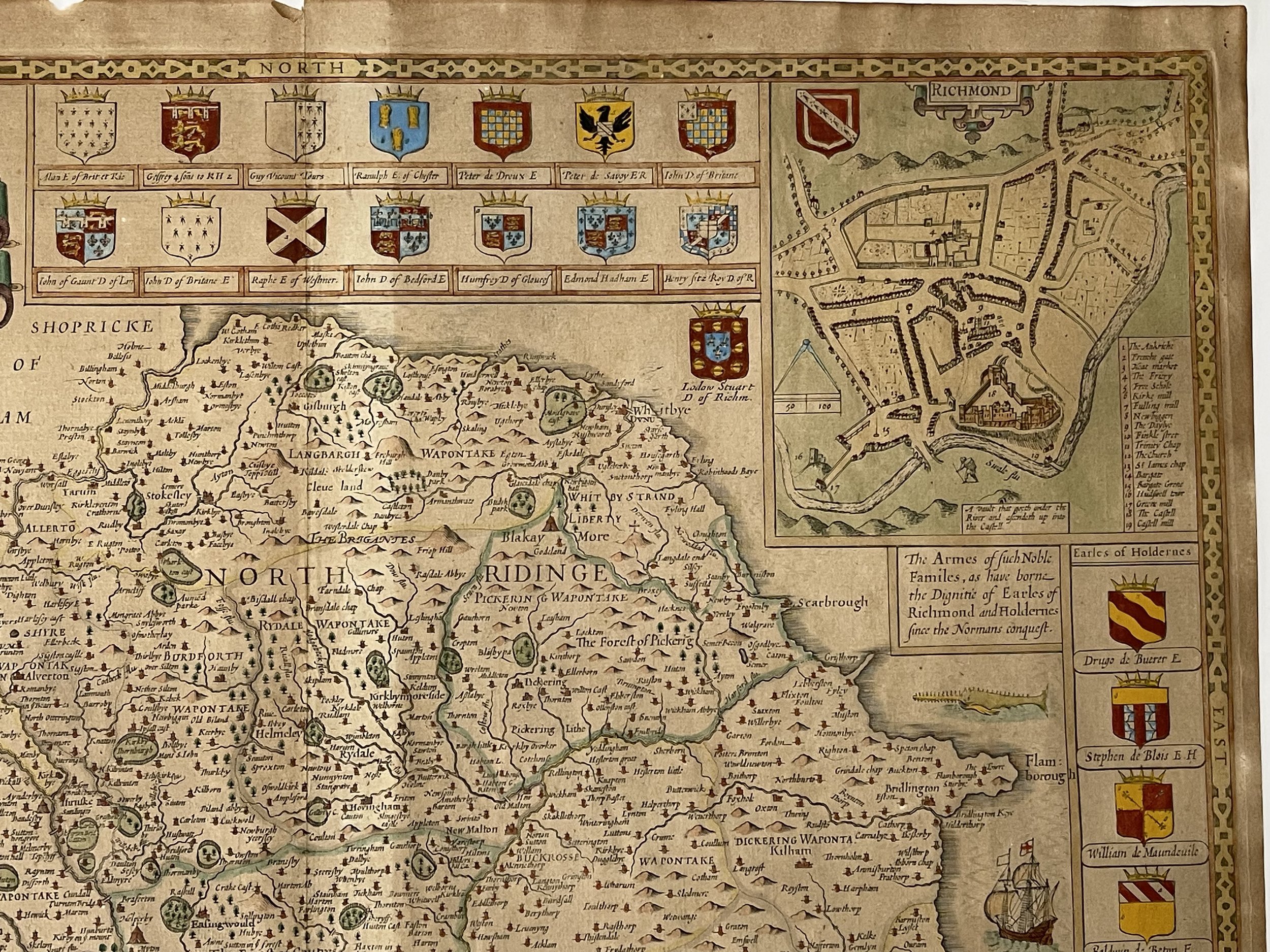 Image 20 of 21

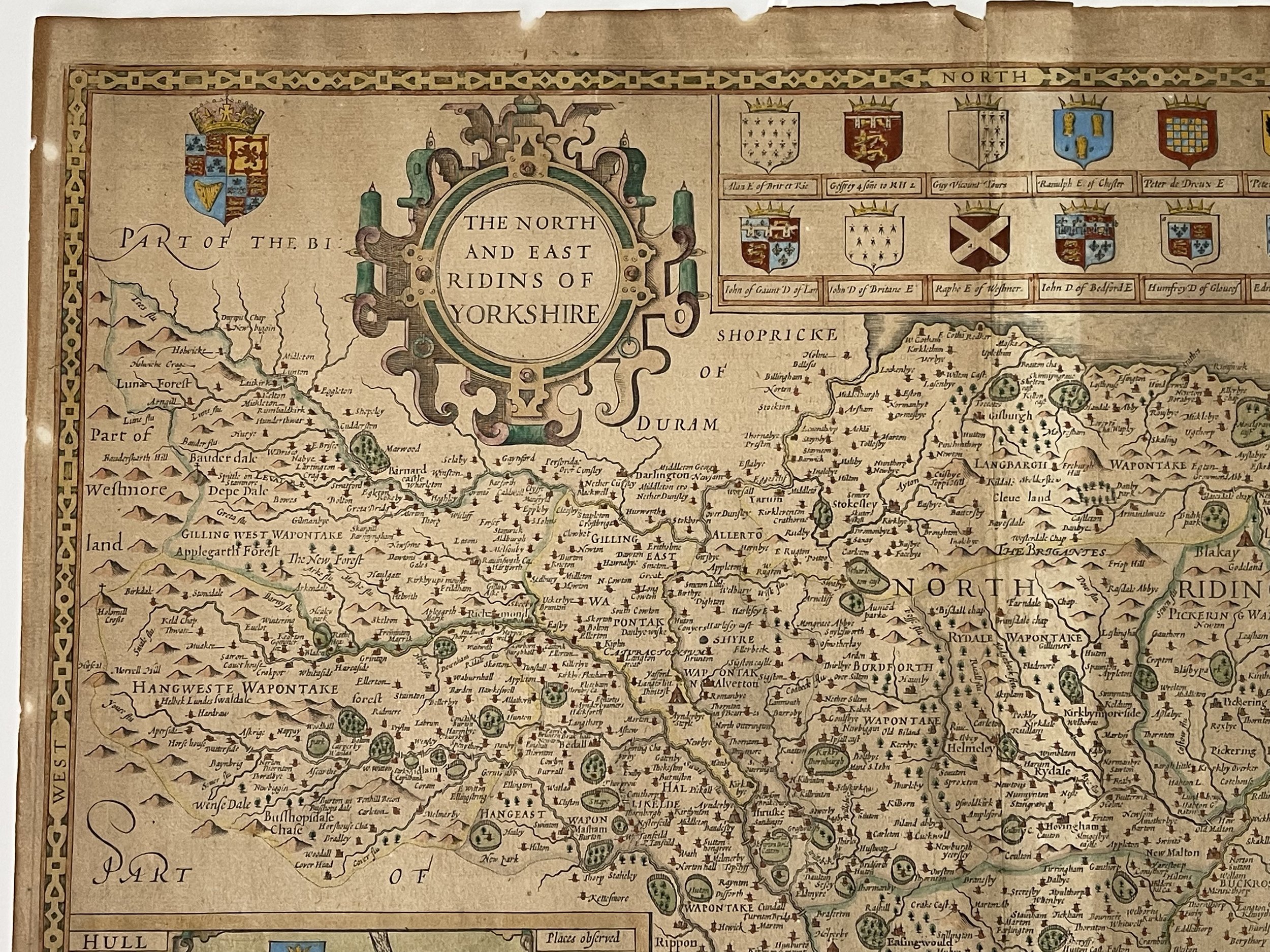 Image 21 of 21


North and East Ridings of York - John Speed - Circa 1676
North and East Ridings of York - 1697 - Unframed.
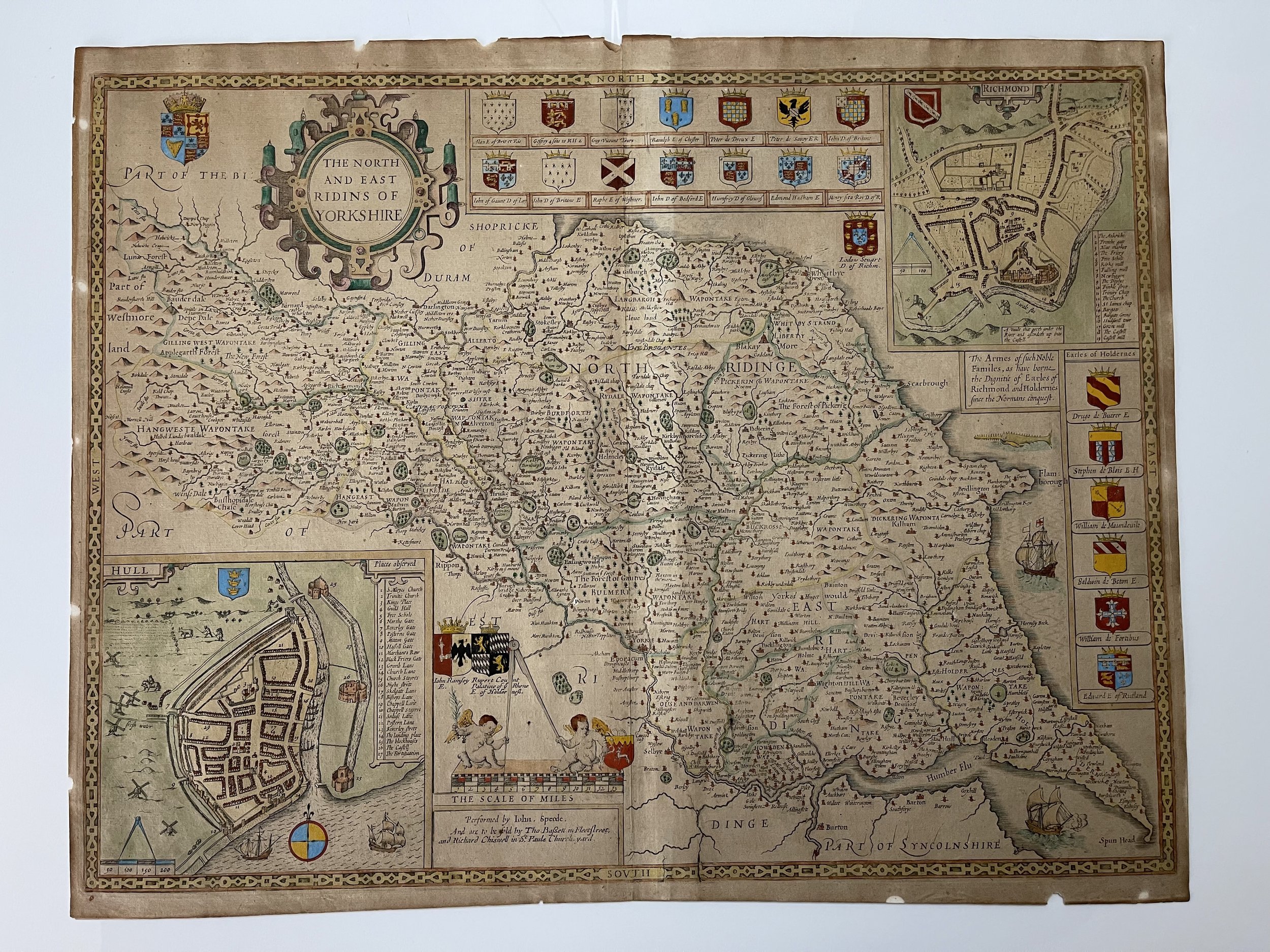
North and East Ridings of York: John Speed, c. 1676. A magnificent map in exceptional condition, ornate county map of North and East Ridings of York with coats of arms, cherubs and cartouches of ships at sea and an inset town plan of Richmond. There is also a watermark shown in the light box photo.
Dated to 1676 - Provenance - Thomas Chubb The Printed Maps in the Atlases of Great Britain and Ireland 1579-1870 - Page 39 Para 1 (North and East Ridings of York) explains that this map shows the map is performed by John Speed (Speede), solde by Thomas Basset in Fleet Streetand Richard Chiswell in St Pauls Churchyard (See photo). The scale is also correct at 13 miles = 3 1/4 Inches. A plan of Richmond is shown to the top right and also a plan of Hull bottom left, as is the Royal Arms top left. All the coats of Arms for the Earls and Dukes of the time are also correct. Along the right-hand side, the coats of arms of the Earls of Holderness are depicted. Those of the Dukes and Earls of Richmond are illustrated along the top. The positions of rivers, forests, dales, castles, abbeys and settlements are shown on the map. The depictions of a fearsome sea monster and sailing ships in the North Sea add to the character of this lovely artwork.Price and grading commensurate. The map shows very slight signs of discolouration due to bleaching which is not uncommon considering its 400+ year age. Colouring added at a later date.
John Speed (1551 or 1552 – 28 July 1629) was an English cartographer, chronologer and historian of Cheshire origins. The son of a citizen and Merchant Taylor in London, he rose from his family occupation to accept the task of drawing together and revising the histories, topographies and maps of the Kingdoms of Great Britain as an exposition of the union of their monarchies in the person of King James I and VI. He accomplished this with remarkable success, with the support and assistance of the leading antiquarian scholars of his generation. He drew upon and improved the shire maps of Christopher Saxton, John Norden and others, being the first to incorporate the hundred-boundaries into them, and he was the surveyor and originator of many of the town or city plans inset within them. His work helped to define early modern concepts of British national identity. His Biblical genealogies were also formally associated with the first edition of the King James Bible. He is among the most famous of English mapmakers.
Very good condition, pricing and grading commensurate.
Code : A711
Cartographer : Cartographer / Engraver / Publisher: John Speed
Date : Publication Place / Date - C1676
Size : Sheet size: Image Size: 51.5cm x 39cm
Availability : Available
Type - Genuine - Antique
Grading A-
Where Applicable - Folds as issued. Light box photo shows the folio leaf centre margin hinge ‘glue’, this is not visible otherwise.
Tracked postage, in casement. Please contact me for postal quotation outside of the UK.