 Image 1 of 10
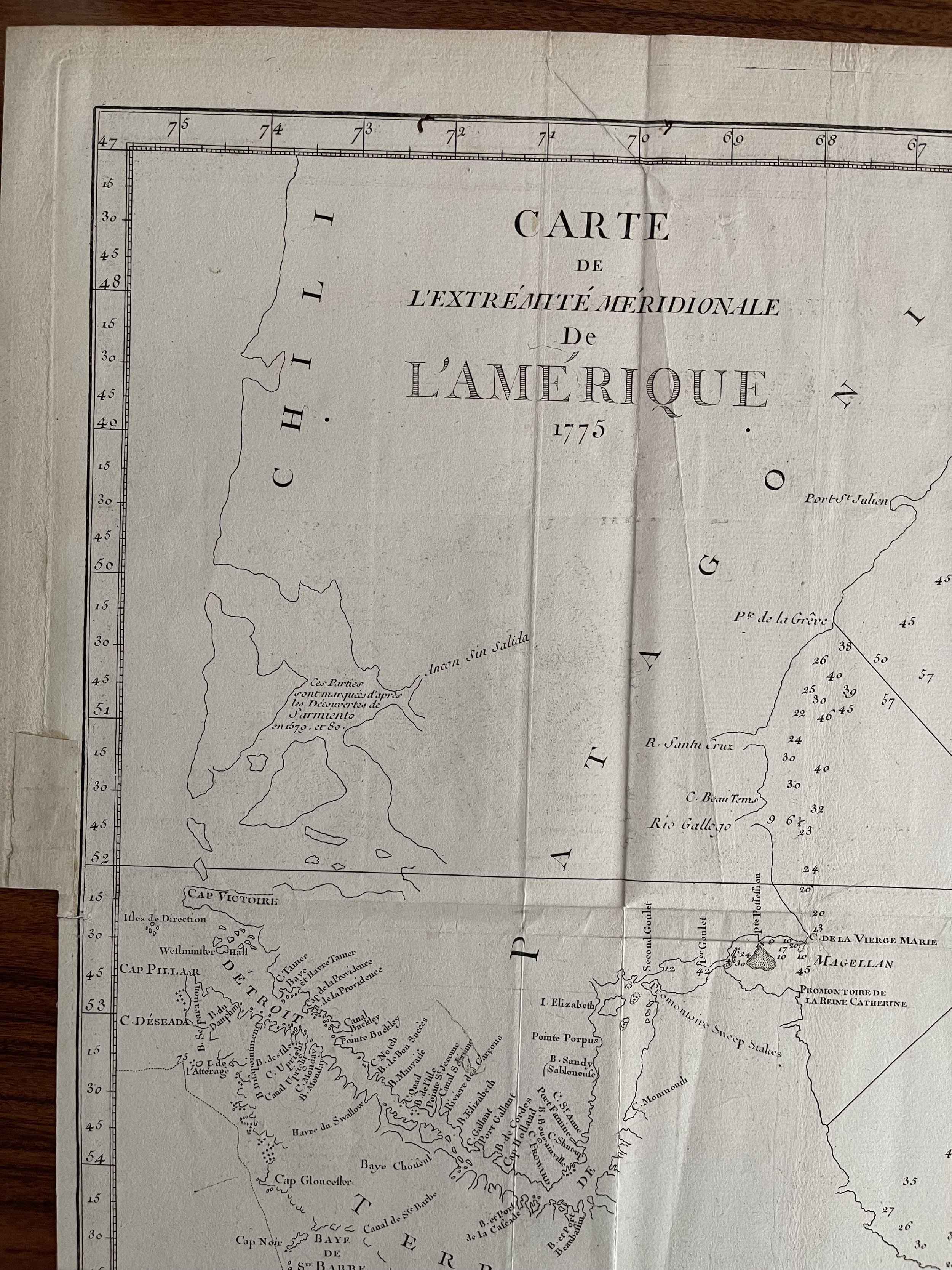 Image 2 of 10
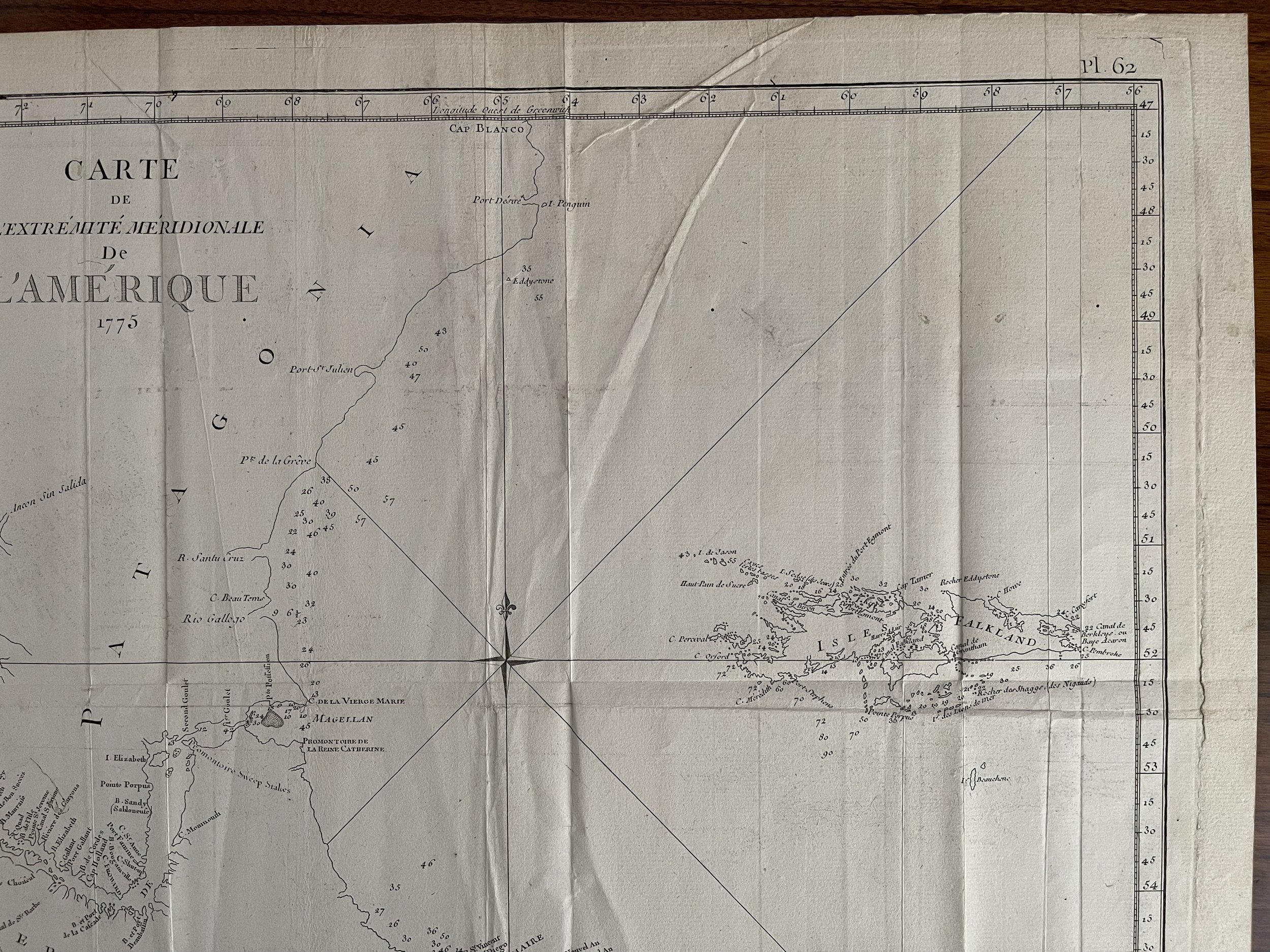 Image 3 of 10
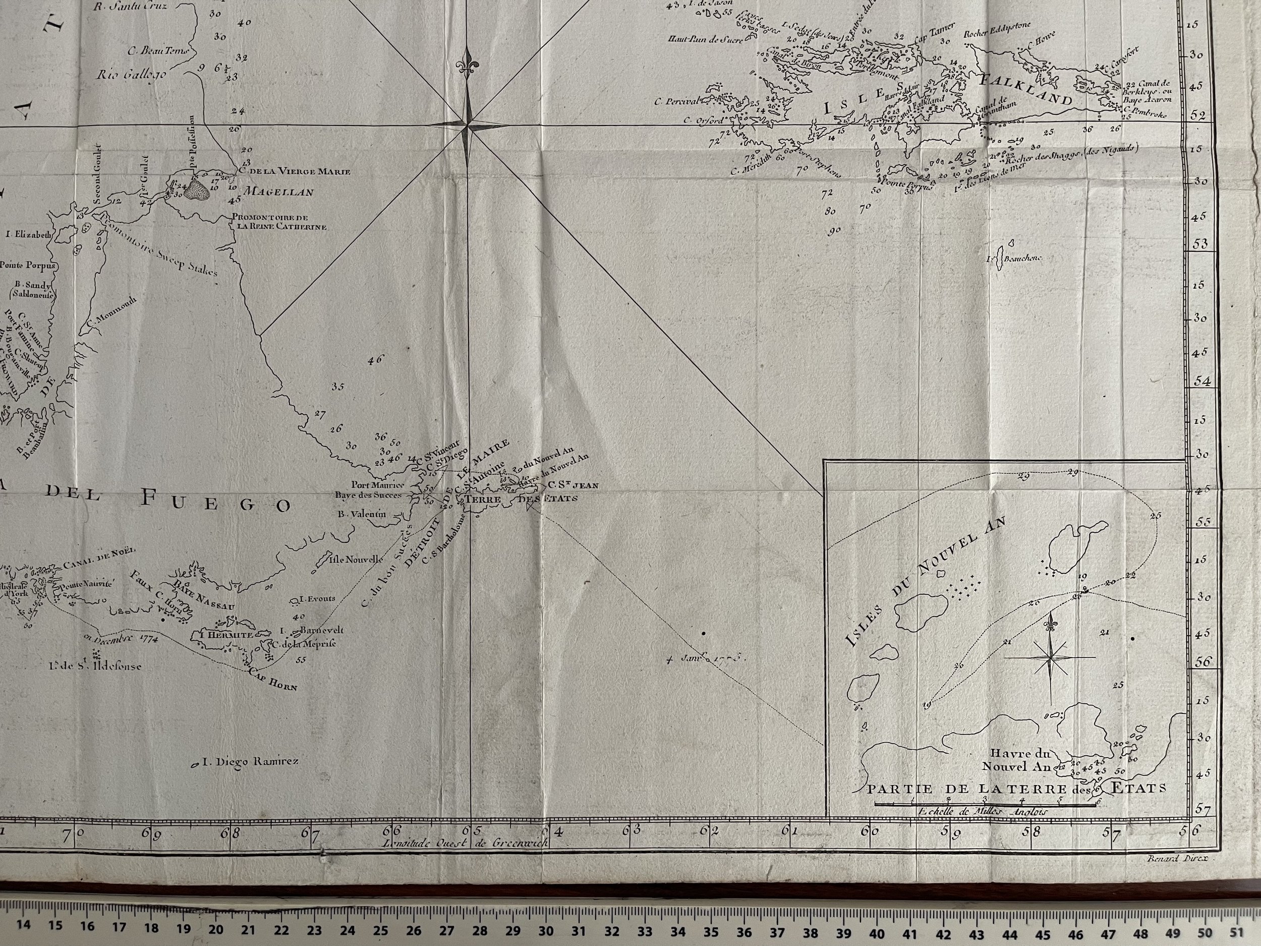 Image 4 of 10
 Image 5 of 10
 Image 6 of 10
 Image 7 of 10
 Image 8 of 10
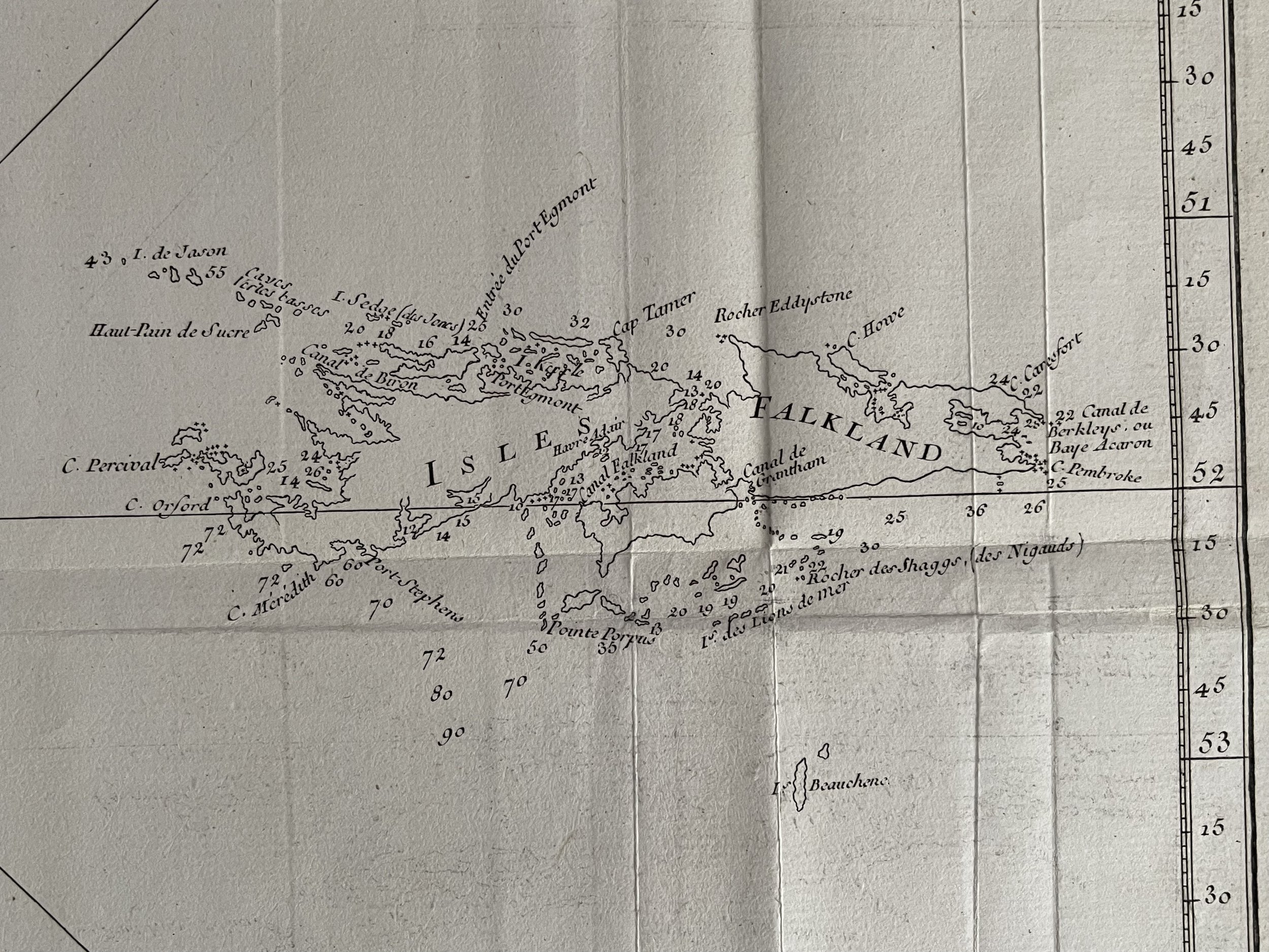 Image 9 of 10
 Image 10 of 10
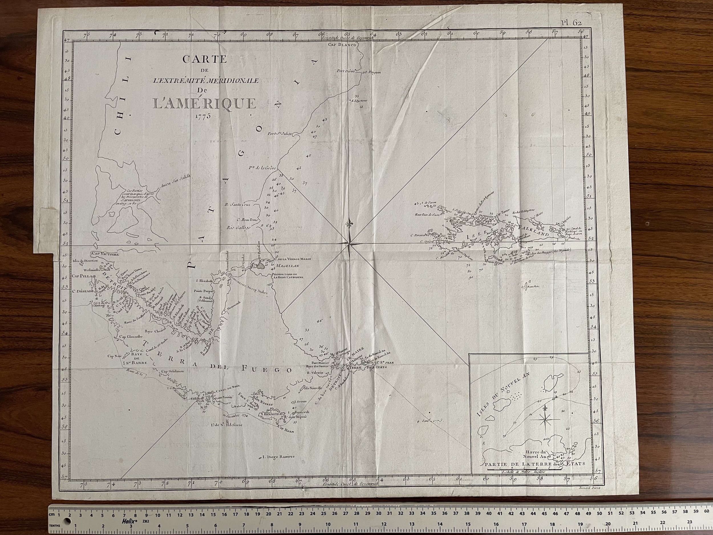
Code : A48
Cartographer : Cartographer / Engraver / Publisher: Jacques Renaud Benard
Date : Publication Place / Date - Paris 1755 Approx
Size : Sheet size: 17.75 x 21.5 inches. 45 x 55 cm.
Availability : Available
Type - Genuine Antique
Grading - A-
Tracked postage, in tubular casement. Please contact me for postal quotation outside of the UK.