 Image 1 of 7
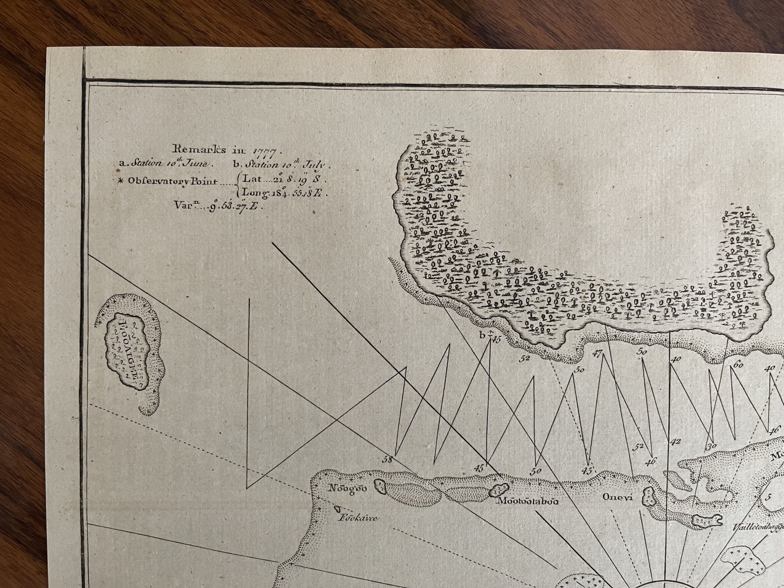 Image 2 of 7
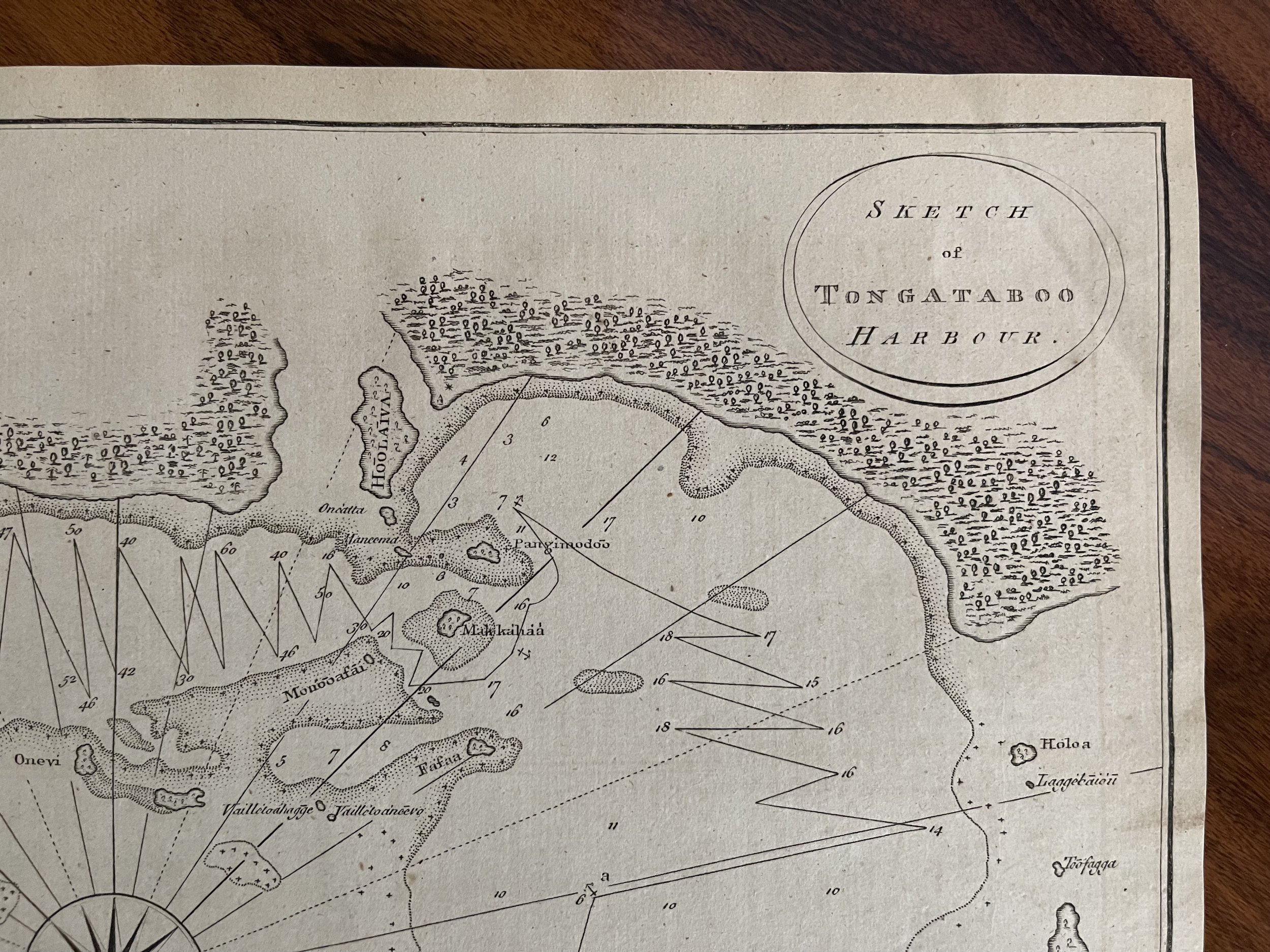 Image 3 of 7
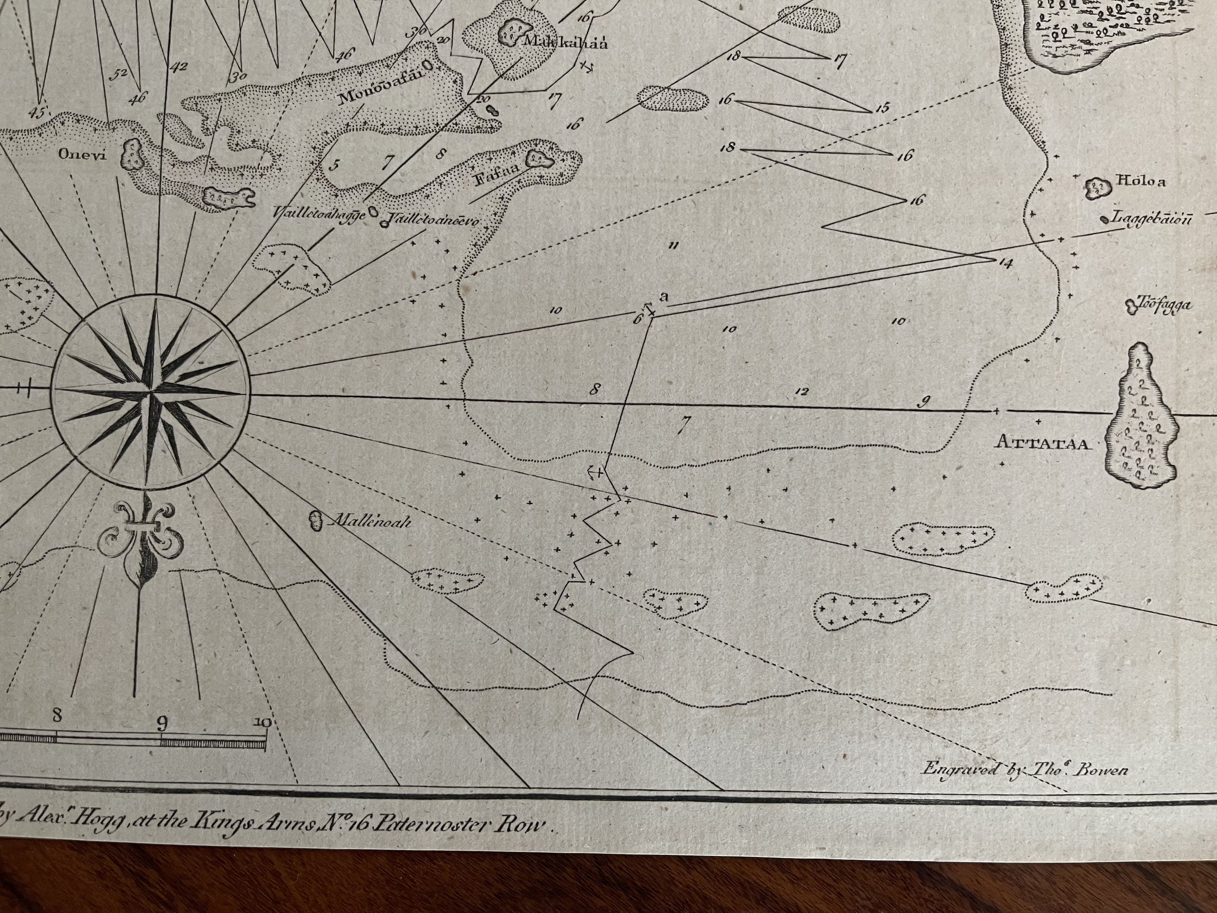 Image 4 of 7
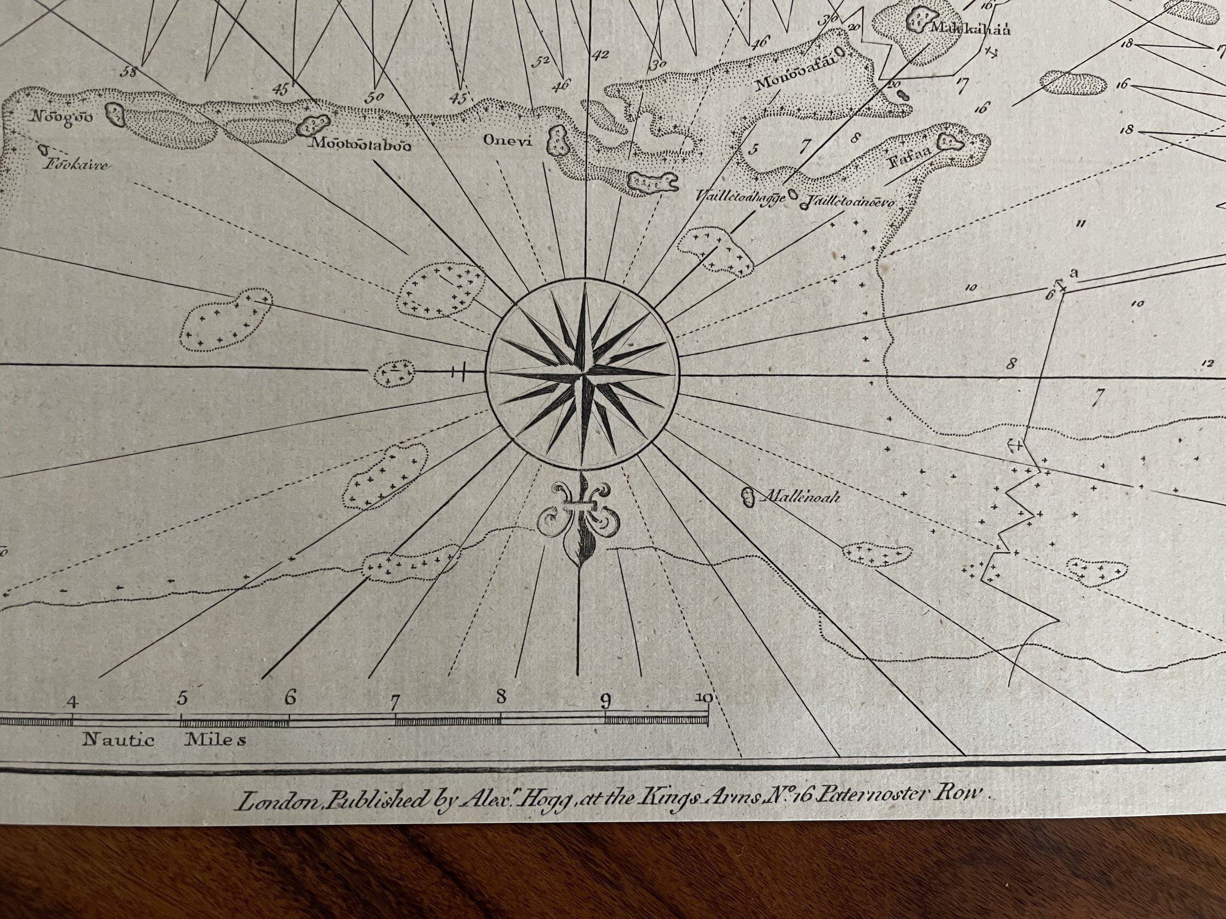 Image 5 of 7
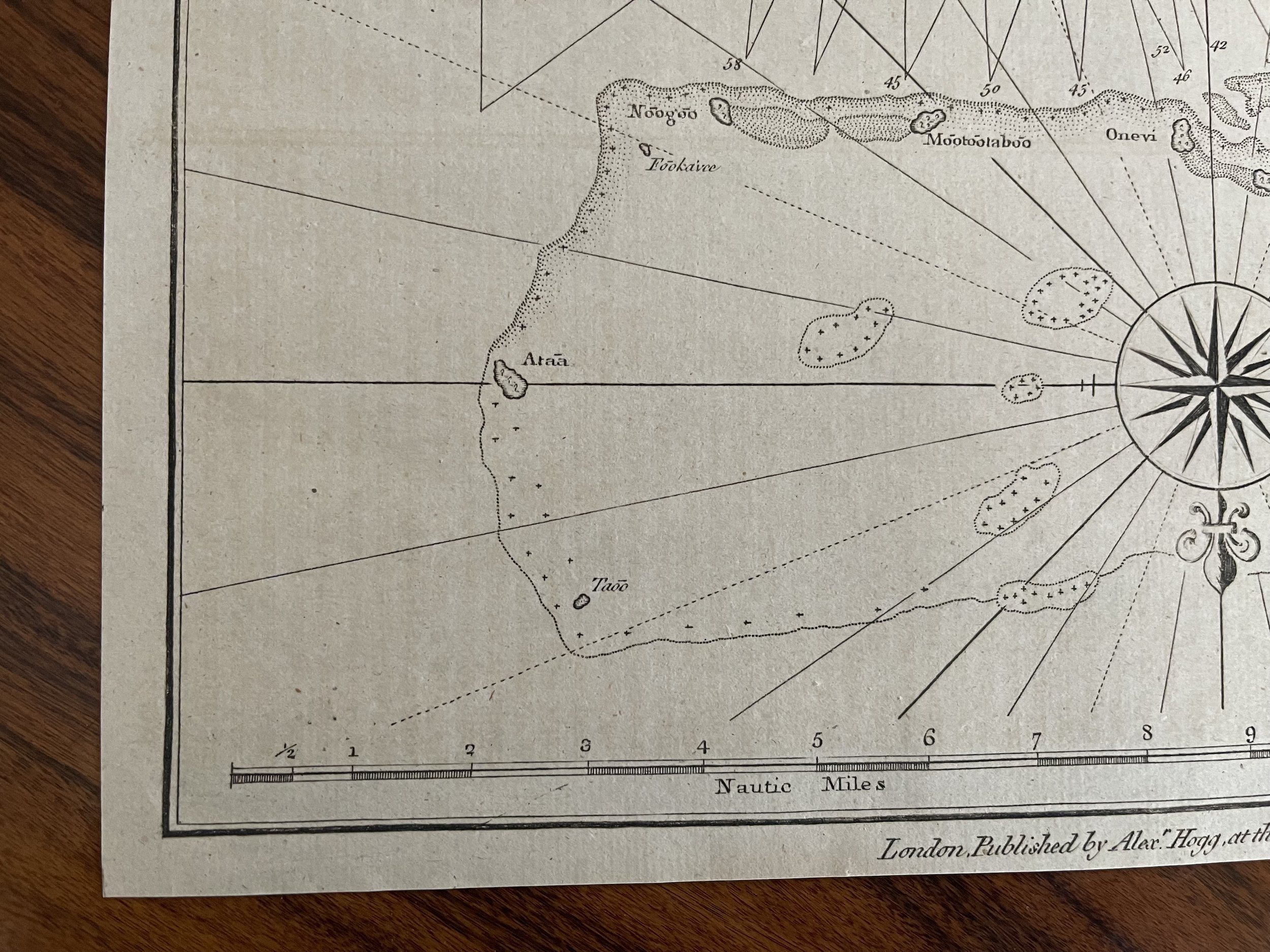 Image 6 of 7
 Image 7 of 7
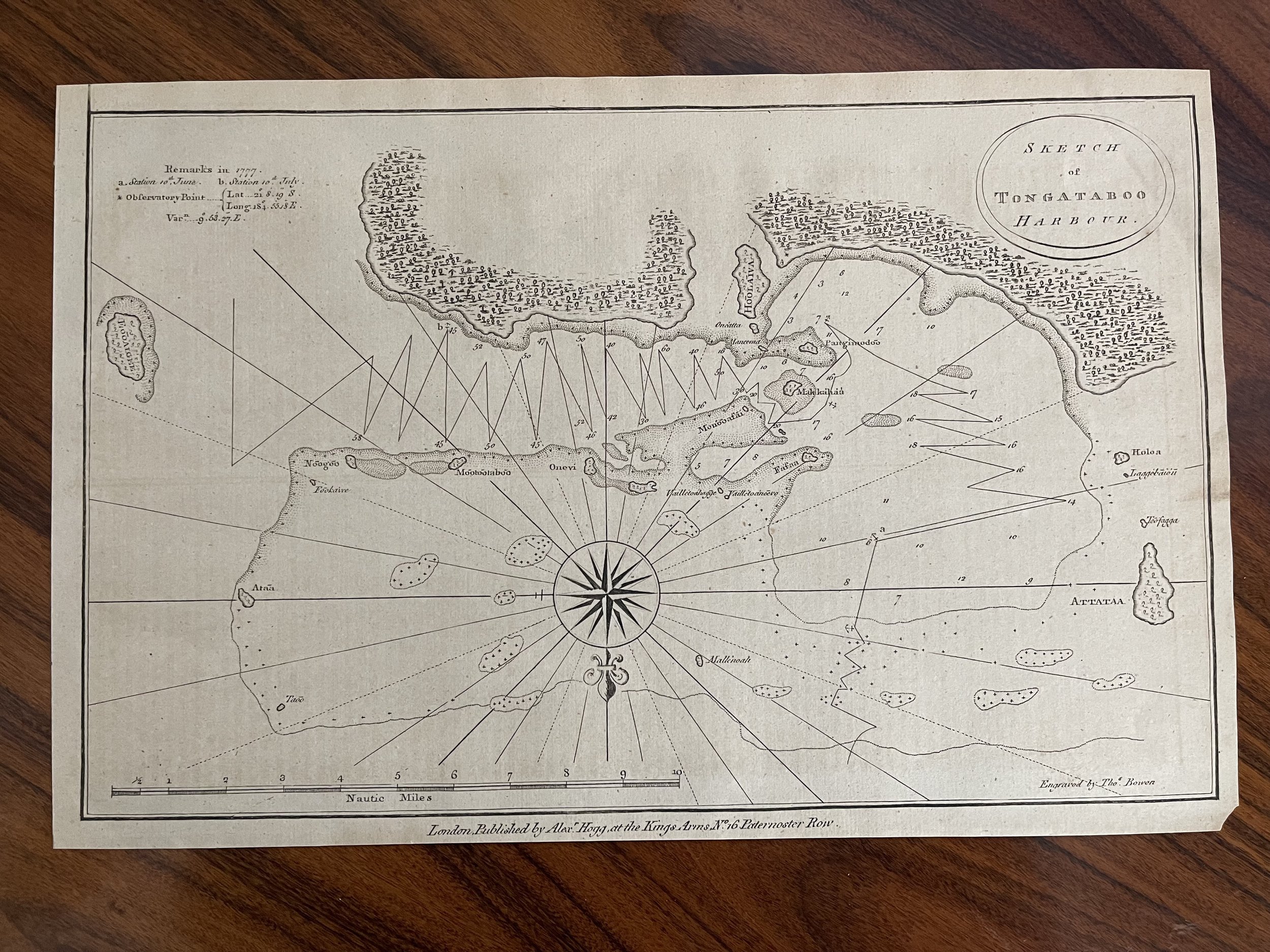
Code : A490
Cartographer : Cartographer / engraver: Alex Hogg / Thomas Bowen
Date : 1784
Size : Sheet size: 14 X 9.25 inches.
Availability : Available
Type - Genuine Antique
Grading - A