https://www.peninsulapmg.com/foo.html     2022-06-04  
Skip to Content
Peninsula Maps & Globes
Home
Shop
About
Contact
English
0
0
Peninsula Maps & Globes
Home
Shop
About
Contact
English
0
0
Home
Shop
About
Contact
English
Back
Peninsula Shop Russia, Poland, and Ukraine - A&C Black - 1845
IMG_5221.jpeg Image 1 of 7
IMG_5221.jpeg
IMG_5225.jpeg Image 2 of 7
IMG_5225.jpeg
IMG_5226.jpeg Image 3 of 7
IMG_5226.jpeg
IMG_5227.jpeg Image 4 of 7
IMG_5227.jpeg
IMG_5222.jpeg Image 5 of 7
IMG_5222.jpeg
IMG_5224.jpeg Image 6 of 7
IMG_5224.jpeg
IMG_5223.jpeg Image 7 of 7
IMG_5223.jpeg
IMG_5221.jpeg
IMG_5225.jpeg
IMG_5226.jpeg
IMG_5227.jpeg
IMG_5222.jpeg
IMG_5224.jpeg
IMG_5223.jpeg

Russia, Poland, and Ukraine - A&C Black - 1845

£40.00

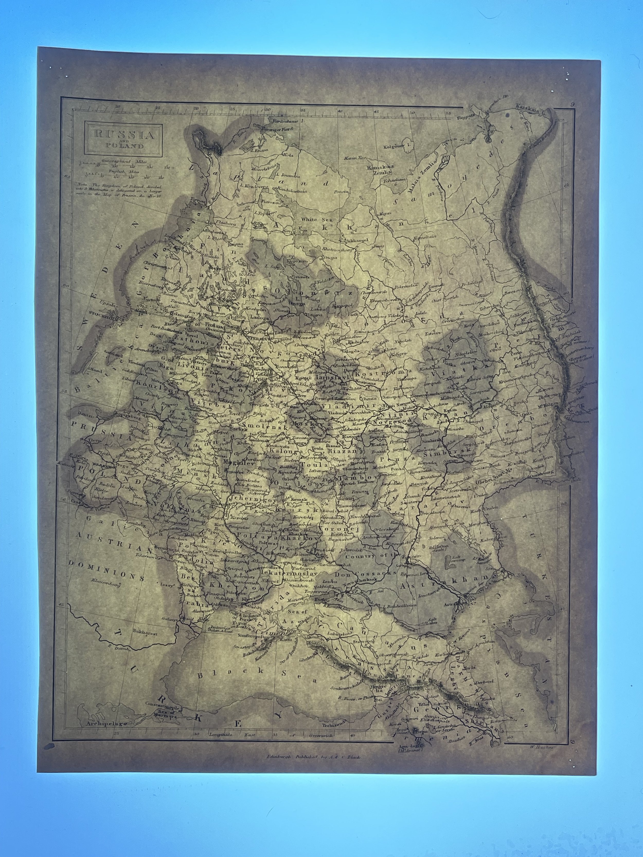
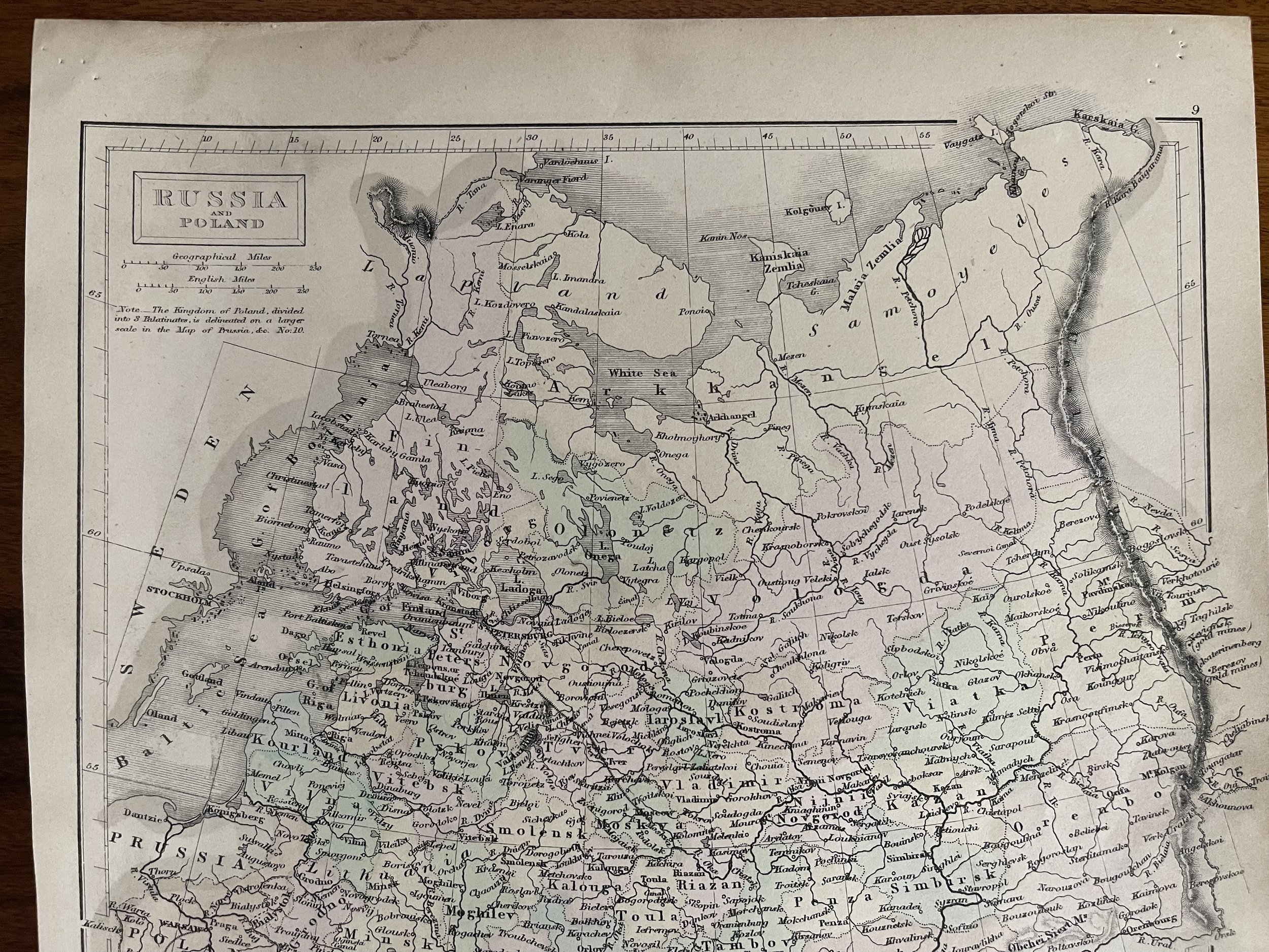
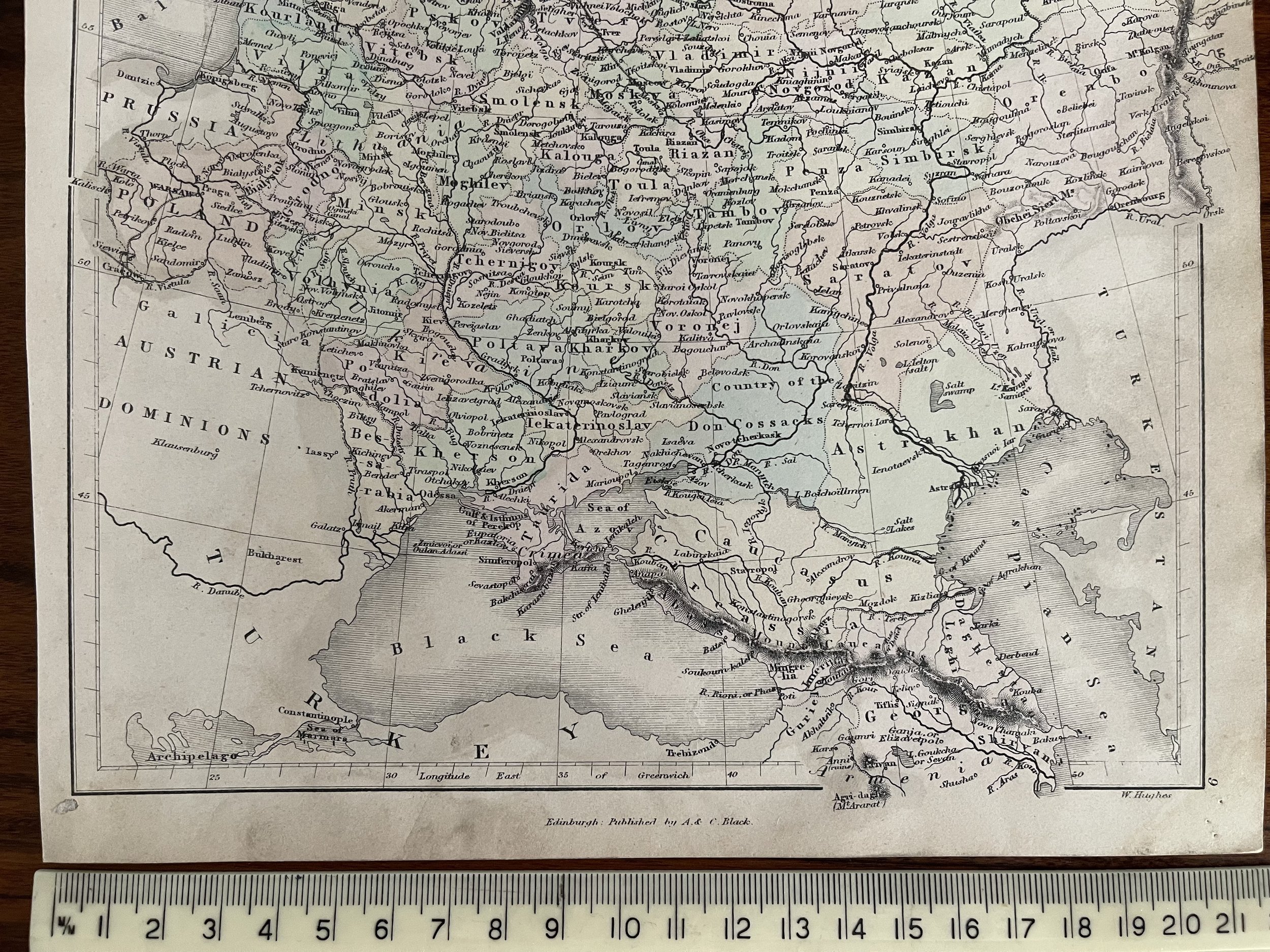
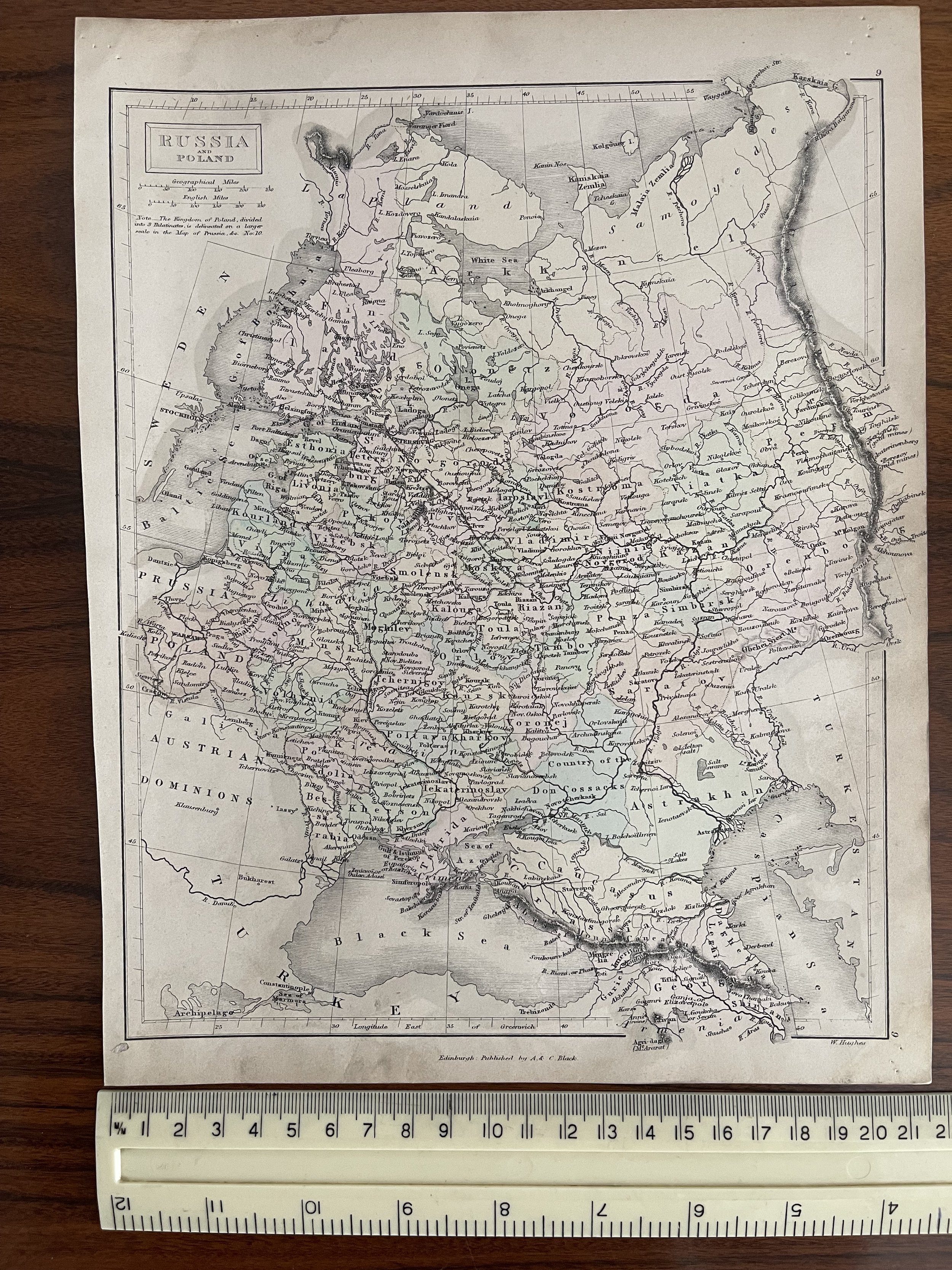
RUSSIA IN EUROPE by Sidney Hall Published Edinburgh circa 1845 by A&C.Black. A steel engraved large format antique map of Russia in Europe covering present day Poland, Belarus, Ukraine, Western Russia, Lithuania, Estonia, Latvia, Moldova, Finland, Crimea etc.

Original outline hand colour. Fine condition other than some very faint patchy browning exaggerated in the scan, original centre fold. Approx. 19.5" x 14.5" (490mm x 370mm) map area only, with good margins beyond.

Add To Cart

RUSSIA IN EUROPE by Sidney Hall Published Edinburgh circa 1845 by A&C.Black. A steel engraved large format antique map of Russia in Europe covering present day Poland, Belarus, Ukraine, Western Russia, Lithuania, Estonia, Latvia, Moldova, Finland, Crimea etc.

Original outline hand colour. Fine condition other than some very faint patchy browning exaggerated in the scan, original centre fold. Approx. 19.5" x 14.5" (490mm x 370mm) map area only, with good margins beyond.

Code : A165

Cartographer : Cartographer / Engraver / Publisher: A&C Black

Date : Publication Place / Date - 1845

Size : Sheet size: Image Size:  19.5 x 14.5 cm

Availability : Available

Type - Genuine - Antique

Grading A-

Where Applicable - Folds as issued. Light box photo shows the folio leaf centre margin hinge ‘glue’, this is not visible otherwise.

Tracked postage, in casement. Please contact me for postal quotation outside of the UK. 
Peninsula Maps & Globes - London England

Made with Squarespace

Contact: pmgmapsandglobes01@gmail.com