Very Collectable and of Railway Interest:
Official British Railway Clearing House Map of London and its Environs, 1899. very good quality, lined, hessian backed, and folding into the original covers (128 x 102 cm). Good condition for its age. One Backboard missing and inside protective layer has some ink writing on it (see photo), the other intact but very worn through use. Map in very good condition although the individual adjoining plates (hessian only) have stretched a little, again through use. Some plates are detached from the hessian backing around the periphery only but this hasn’t diminished from the quality of the map plate. Some grubby marks accross the surface where the map has been thumbed over the last 125 years, and a few nicks and marks in the borders outside of the map itself. Pricing and grading commensurate.
Engraved by J & W Emslie and published by the RCH London 1899. On folding linen in 45 sections. Scale two inches to the mile. Colour coded to indicate the various lines and the companies that owned them. Covers an area from Rickmansworth to Loughton in the north and from Walton and Hersham to Orpington in the south. London docks shown in detail. The endpapers have the stamp of the Great Eastern Railway and the date 1899. Heights indicated by hachuring. Folds into black boards with the title gold-embossed stamped to the front.
The Railway Clearing House (RCH) was an organisation set up to manage the allocation of revenue collected by pre-grouping railway companies for the conveyance of passengers and goods over the lines (or using the rolling stock) of other companies. It went on to become the major regulatory body overseeing the day-to-day running of railways in Great Britain and setting common standards for railway companies, which ensured their safety and interoperability. The RCH also produced fare structures governing many aspects of rail transport at a national level and set limits on price increases for passenger travel.
J & W Emslie (1813–1875)Drawer and engraver of maps including geology, transport, geography, astronomy and natural philosophy maps including many for the railway railway. Partnership of J & W Emslie. Some work has been credited to John Emslie alone.
Emslie was responsible for the design, hand colouring and engraving of education artworks. His art featured on teaching cards, educational posters, published through James Reynolds & Sons of 174 Strand, London.
In 1850, Emslie hand painted and engraved a series of 44 charts and posters, in response to the popular demand for information on the developments taking place in science and engineering because of the Industrial Revolution. The educational series ran 1850-1860 and covered topics of geology, geography, astronomy and natural philosophy.
Emslie was father to artists John Phillipps Emslie (1839–1913), a figure painter, and Alfred Edward Emslie (1848-1918), British genre & portrait painter. He was father-in-law to Rosalie M. Emslie (1854-1932), a miniature painter, and grandfather to Rosalie Emslie (1891-1977) figure, portrait and landscape painter.
In 1913, the British Museum received a large collection of his work, donated by J.P. Emslie. His works are collected by the British Museum, Welcome Collection, and online through Getty Images.
McCorquodale and Company Limited – British -1846
Founded by George McCorquodale who was born in Newton-le-Willows, St. Helens, Merseyside, England, United Kingdom.
Stationers, Printers of posters, travel guides, timetables and other ephemera for the London, Midland & Scottish, and London, Northwestern Railways; Located at Cardington Street, Euston Square, London. Purchased by TPF in May 2005, McCorquodale moved from Milton Keynes to Northampton in August 2005; Head Office in Coleman Street in the City of London and branches in London, Glasgow, Newton-le-Willows and Wolverton. The company was sold many times and eventually became insolvent around 1994.
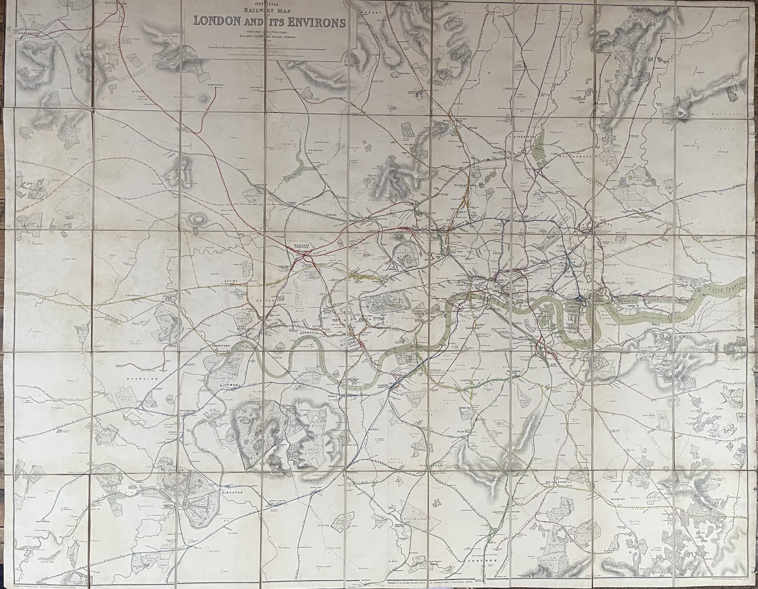 Image 1 of 24
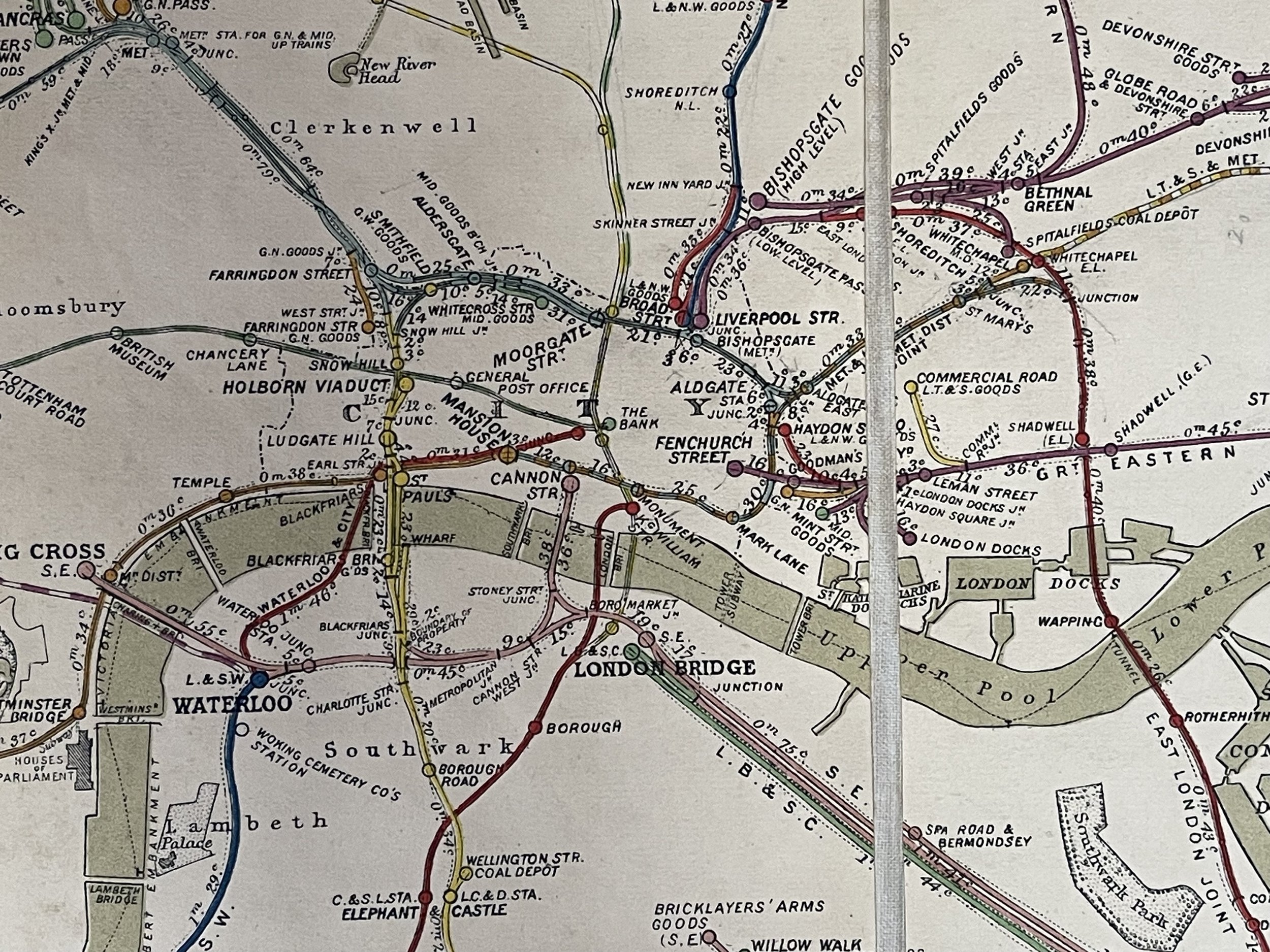 Image 2 of 24
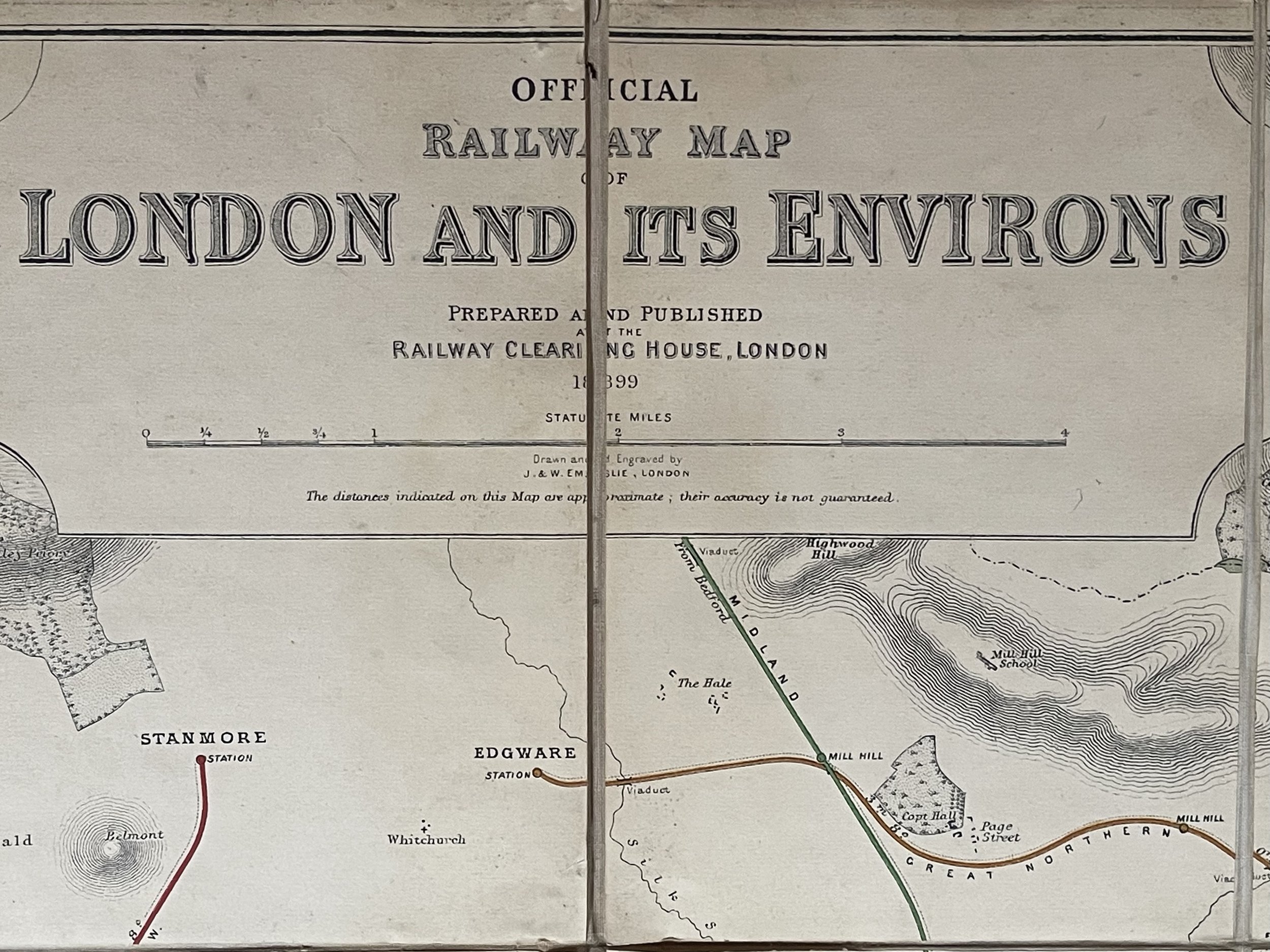 Image 3 of 24
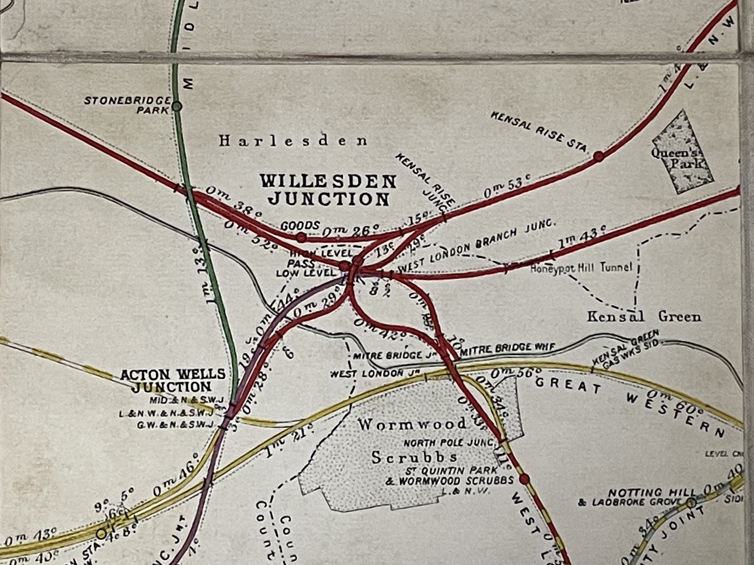 Image 4 of 24
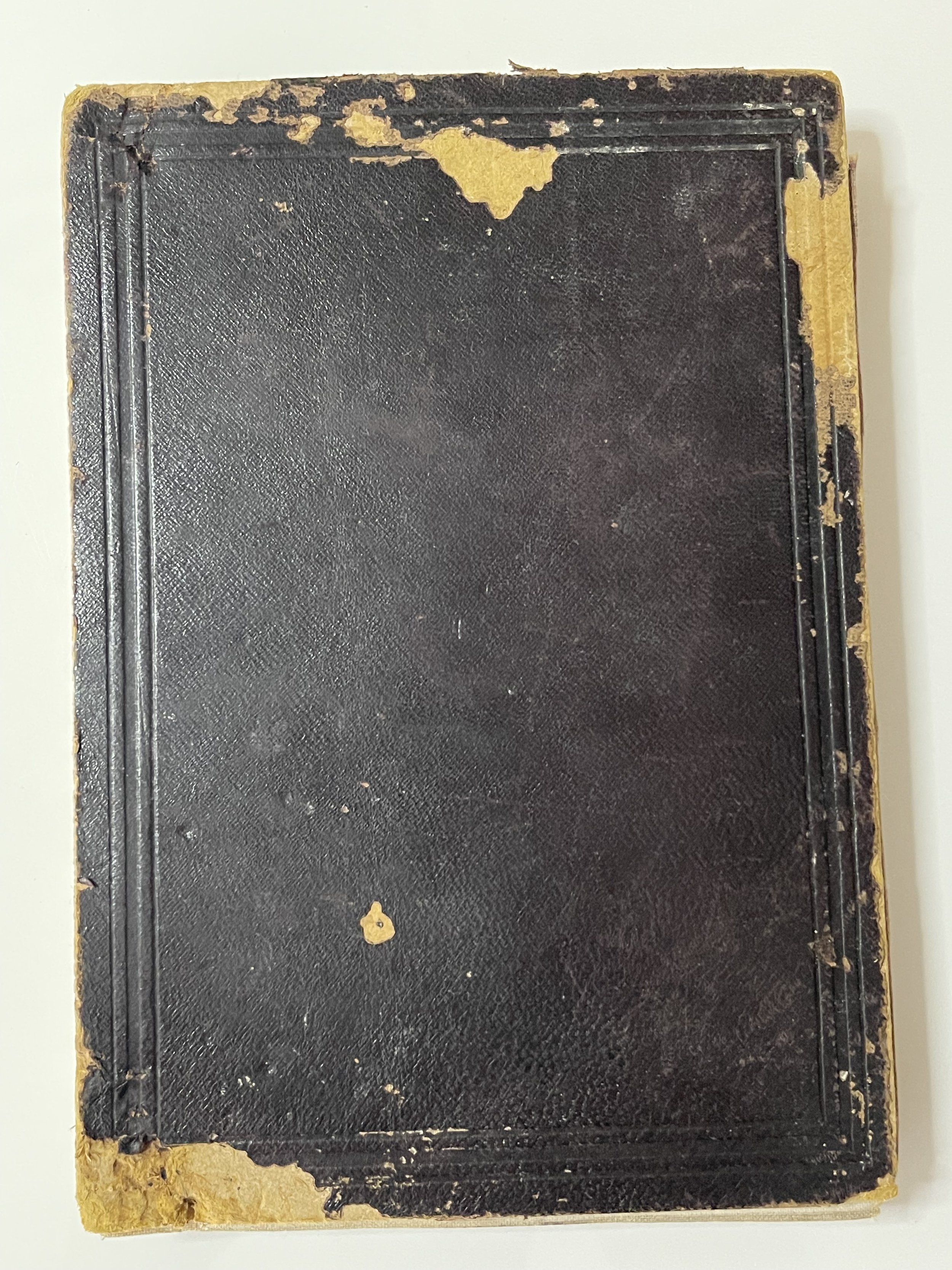 Image 5 of 24
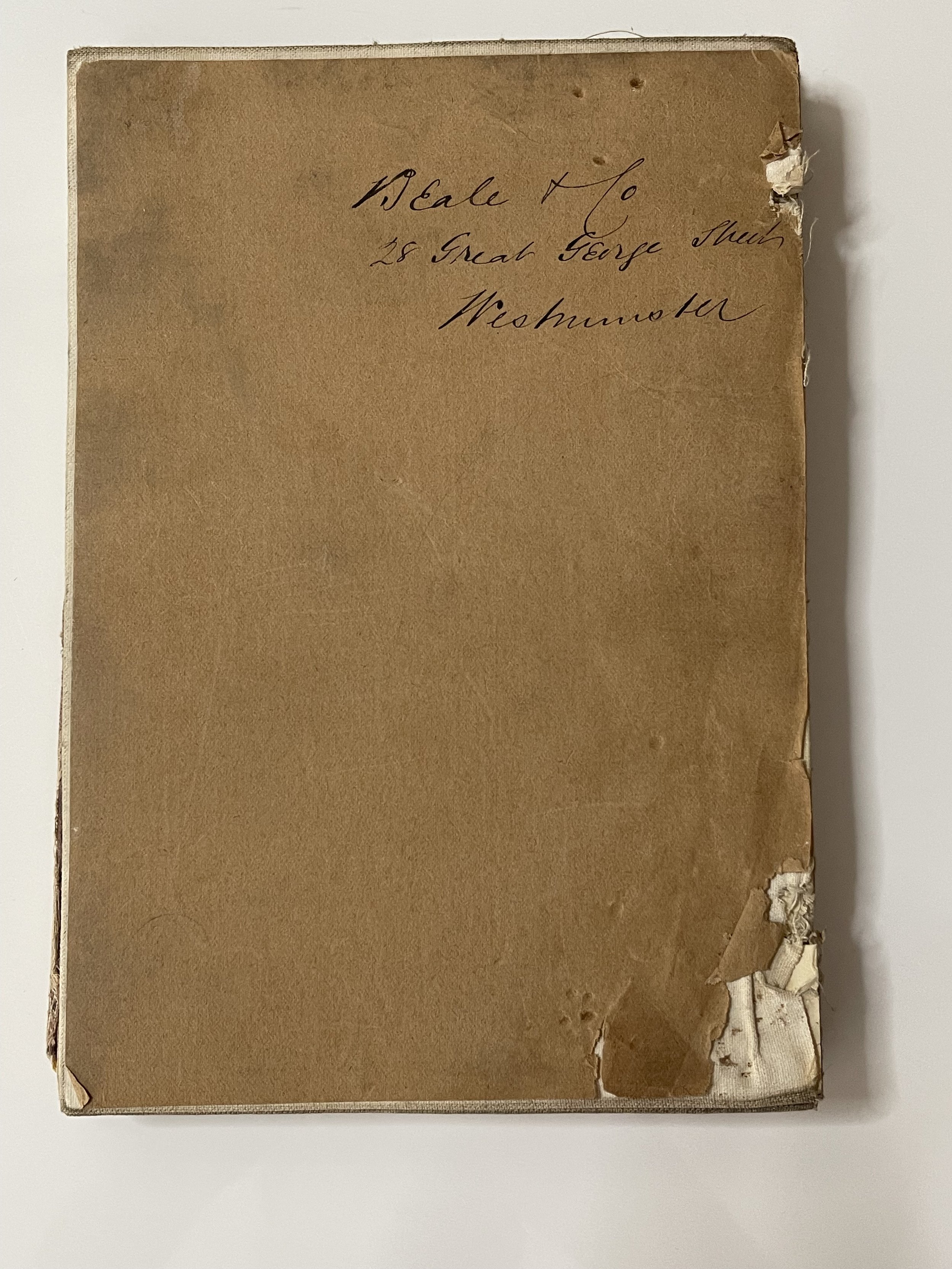 Image 6 of 24
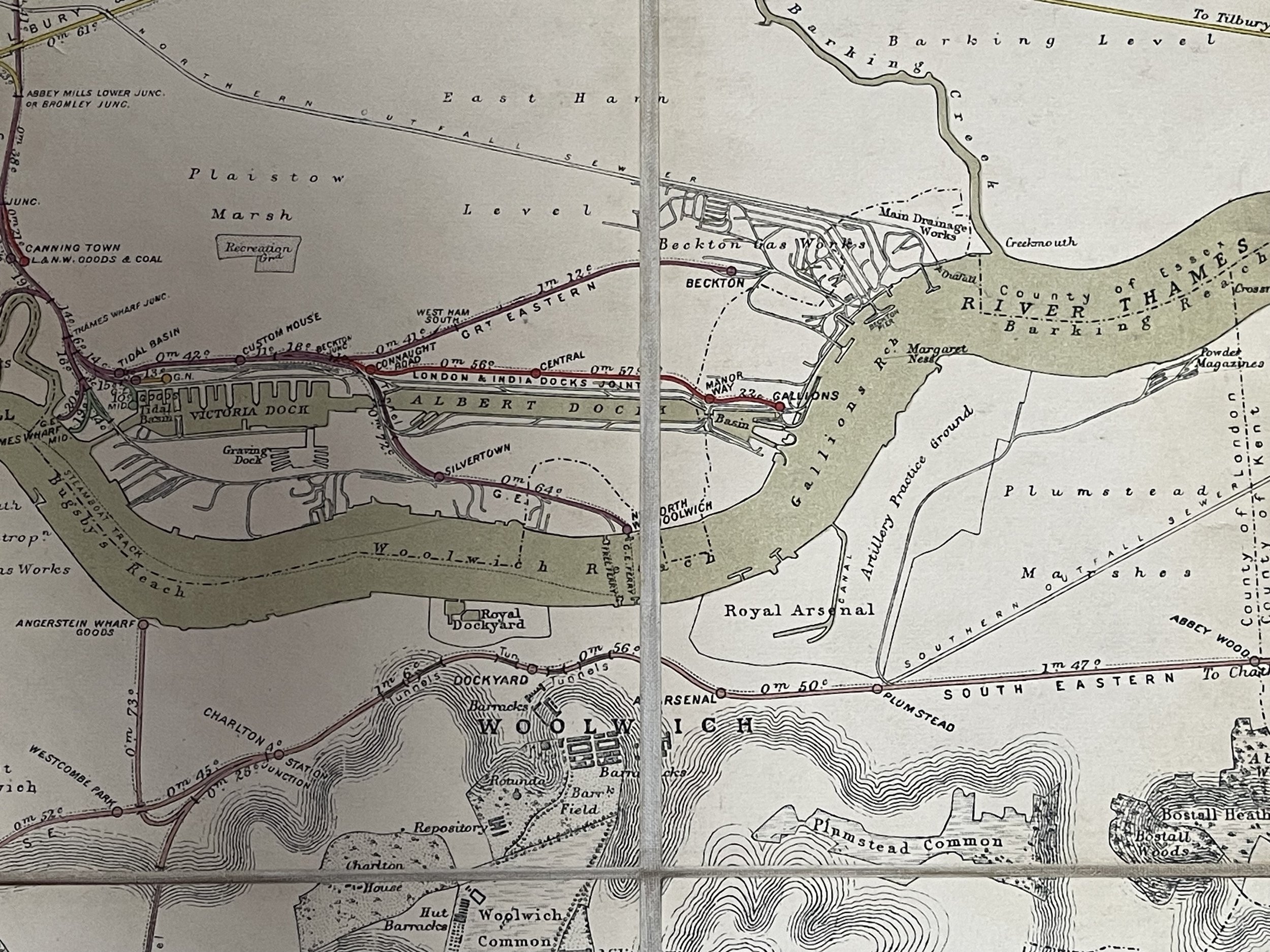 Image 7 of 24
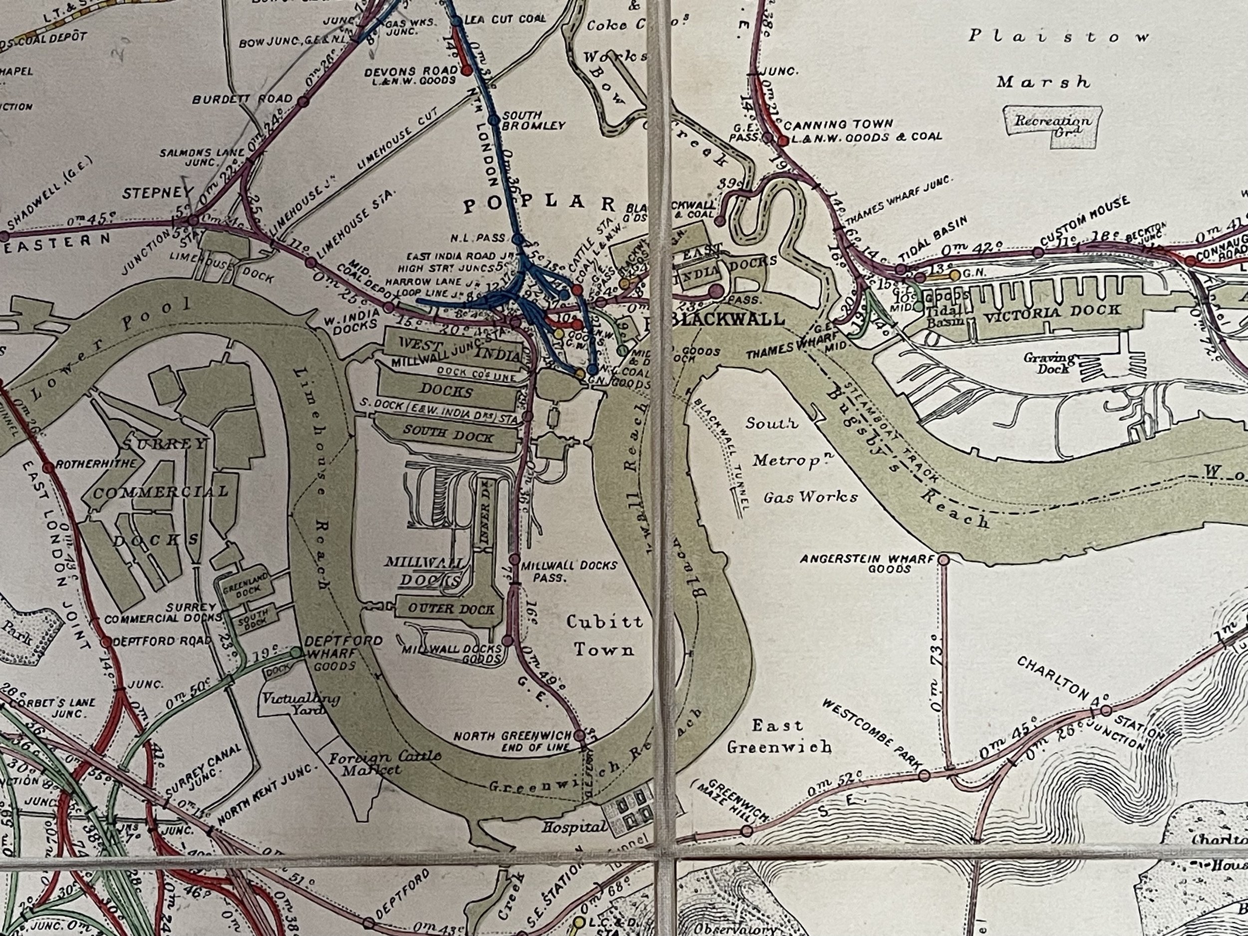 Image 8 of 24
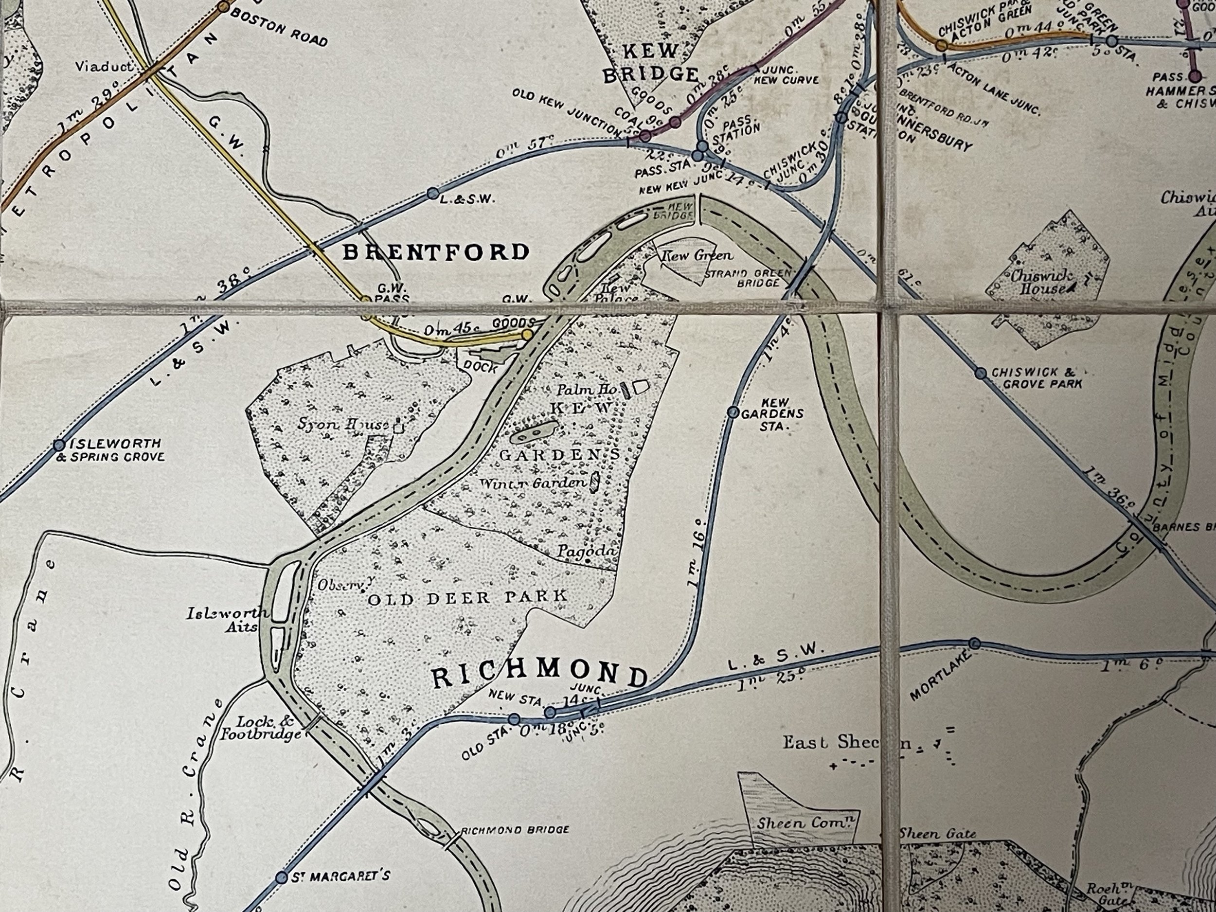 Image 9 of 24
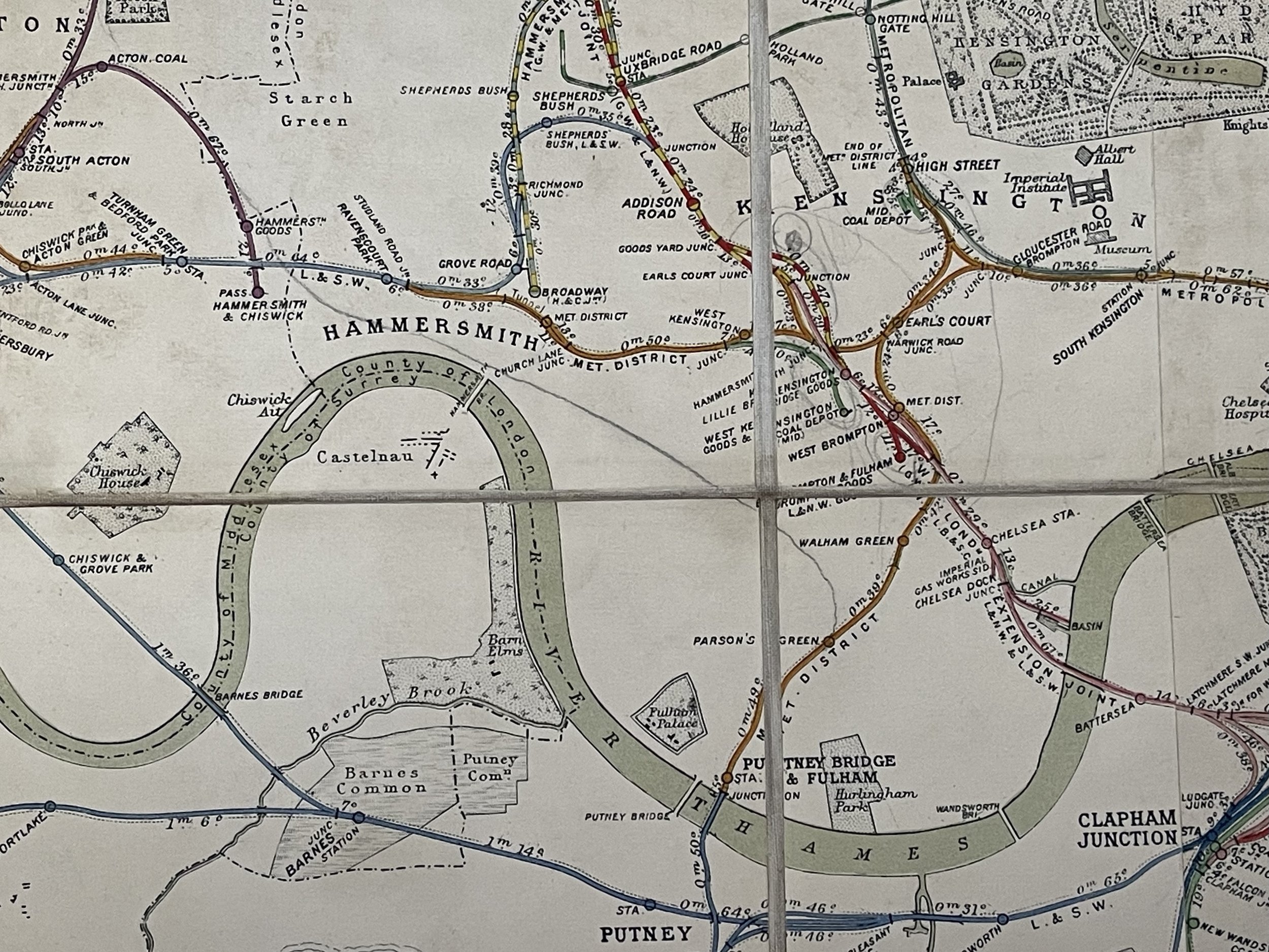 Image 10 of 24
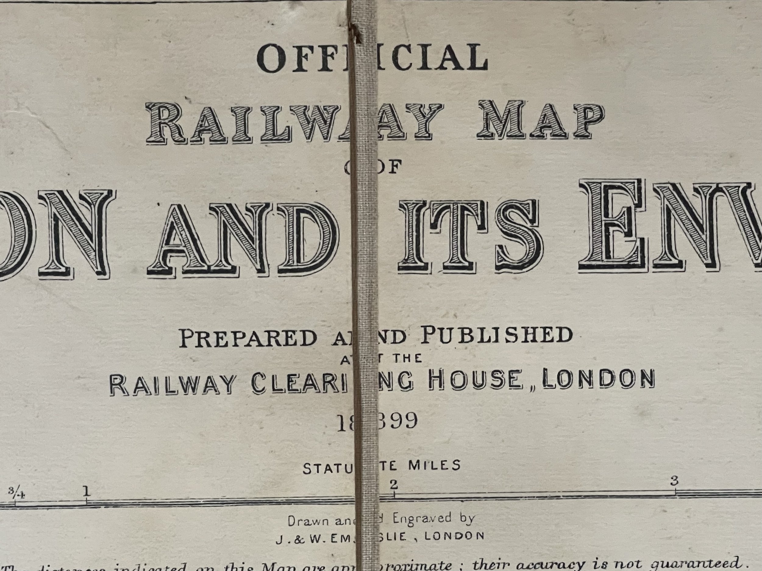 Image 11 of 24
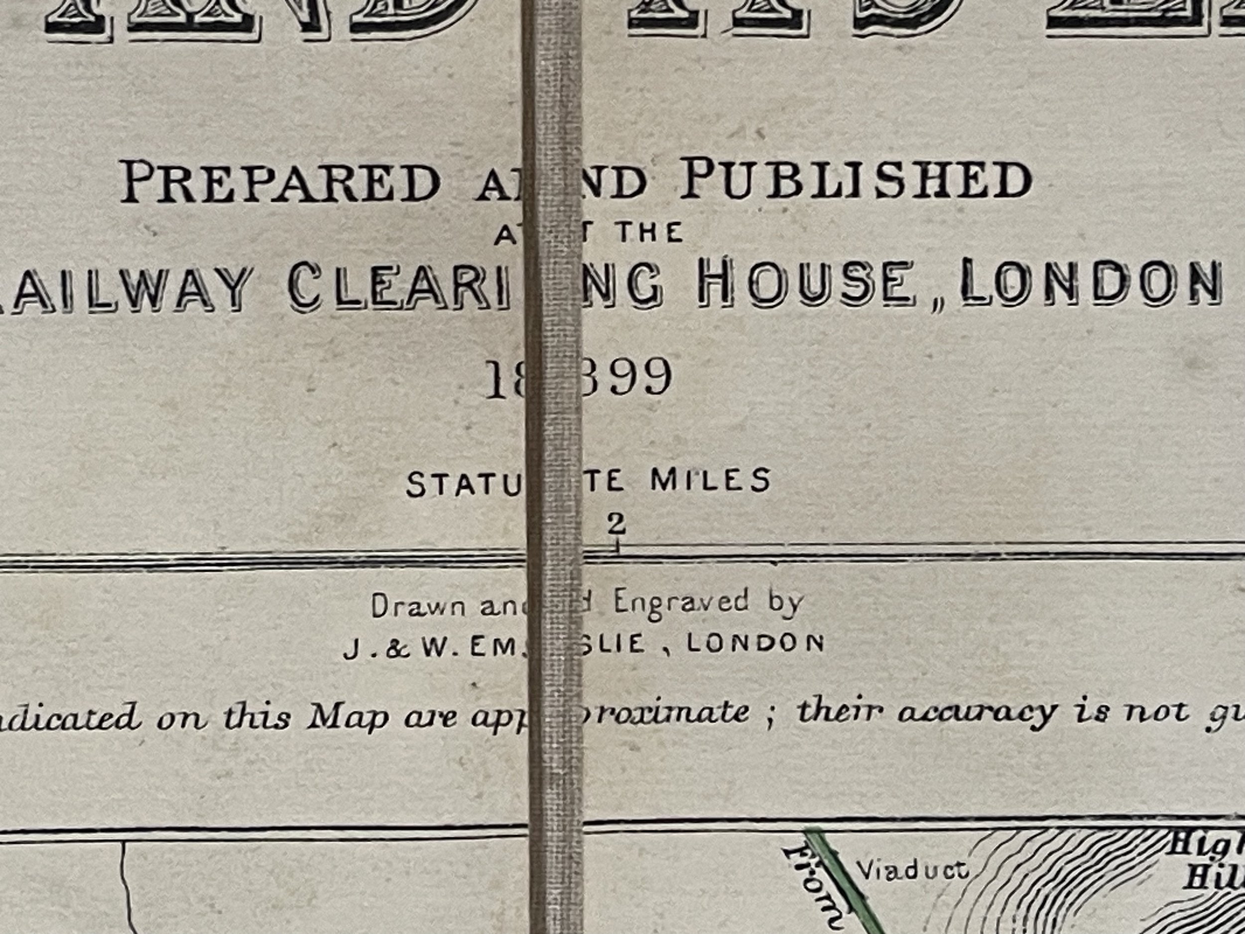 Image 12 of 24
 Image 13 of 24
 Image 14 of 24
 Image 15 of 24
 Image 16 of 24
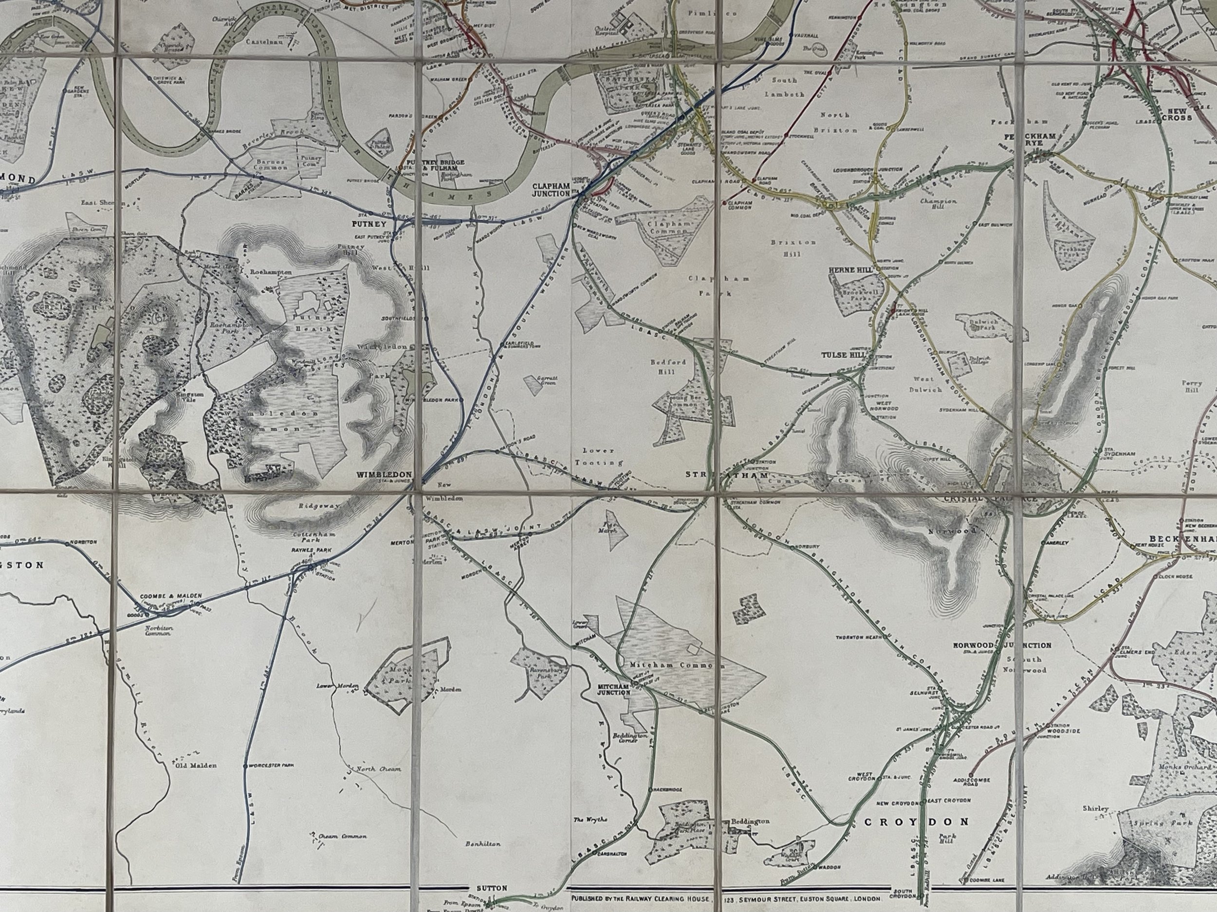 Image 17 of 24
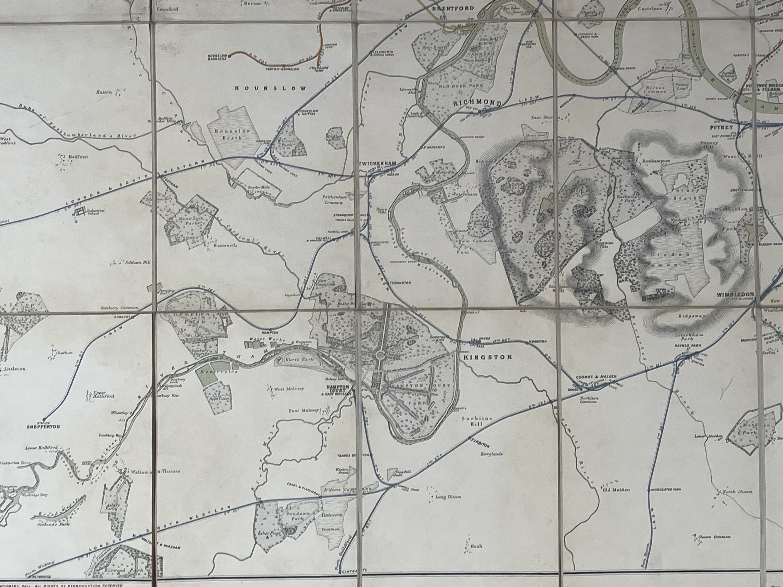 Image 18 of 24
 Image 19 of 24
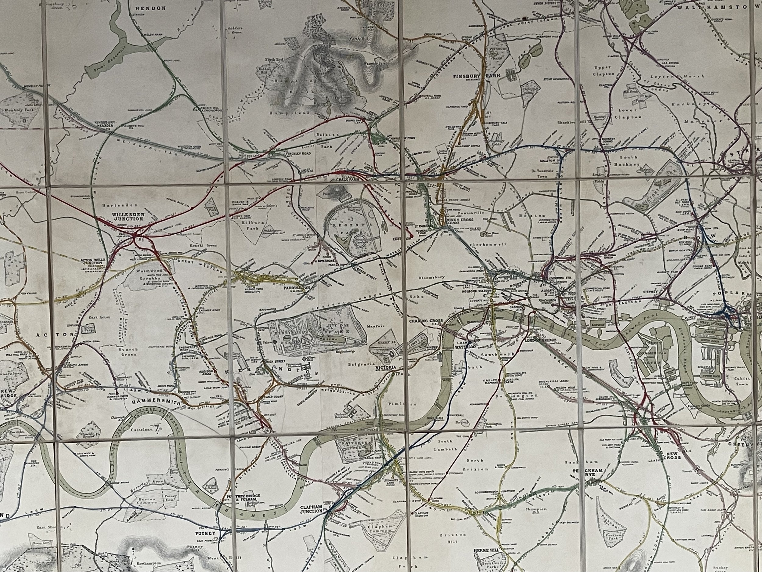 Image 20 of 24
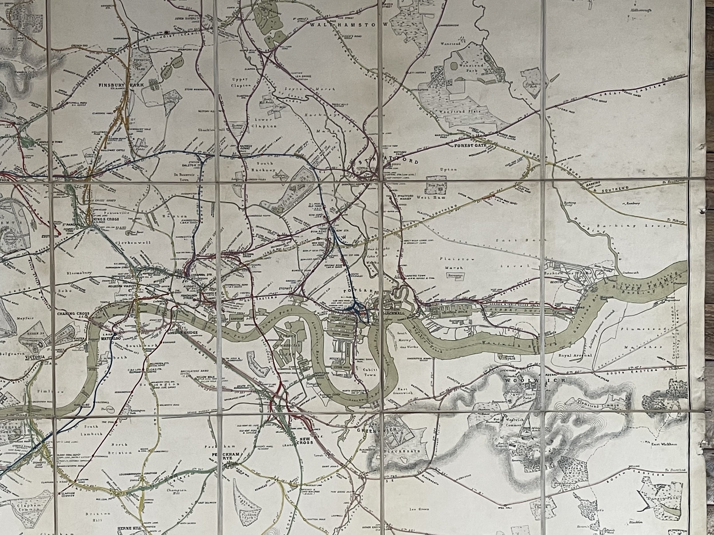 Image 21 of 24
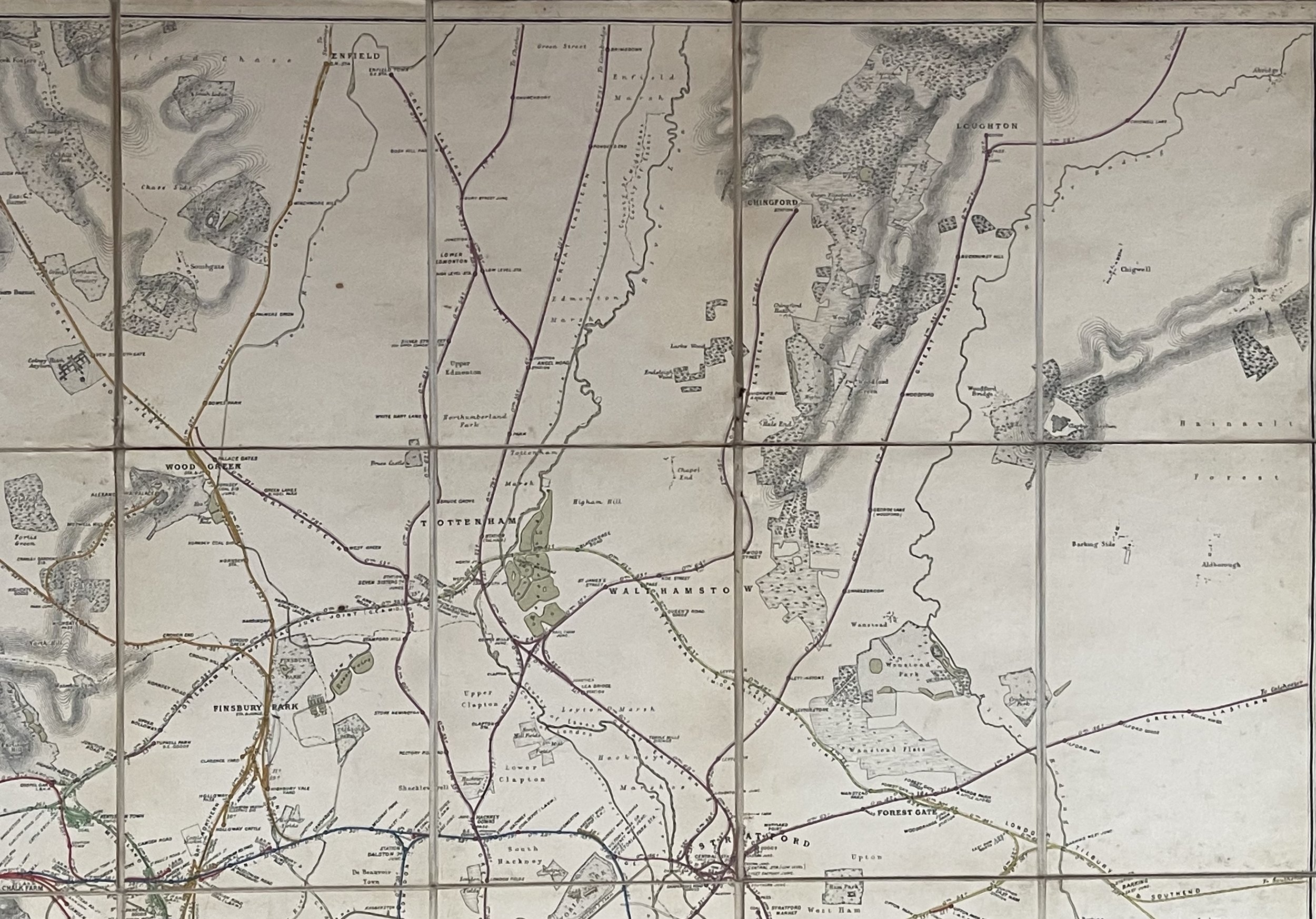 Image 22 of 24
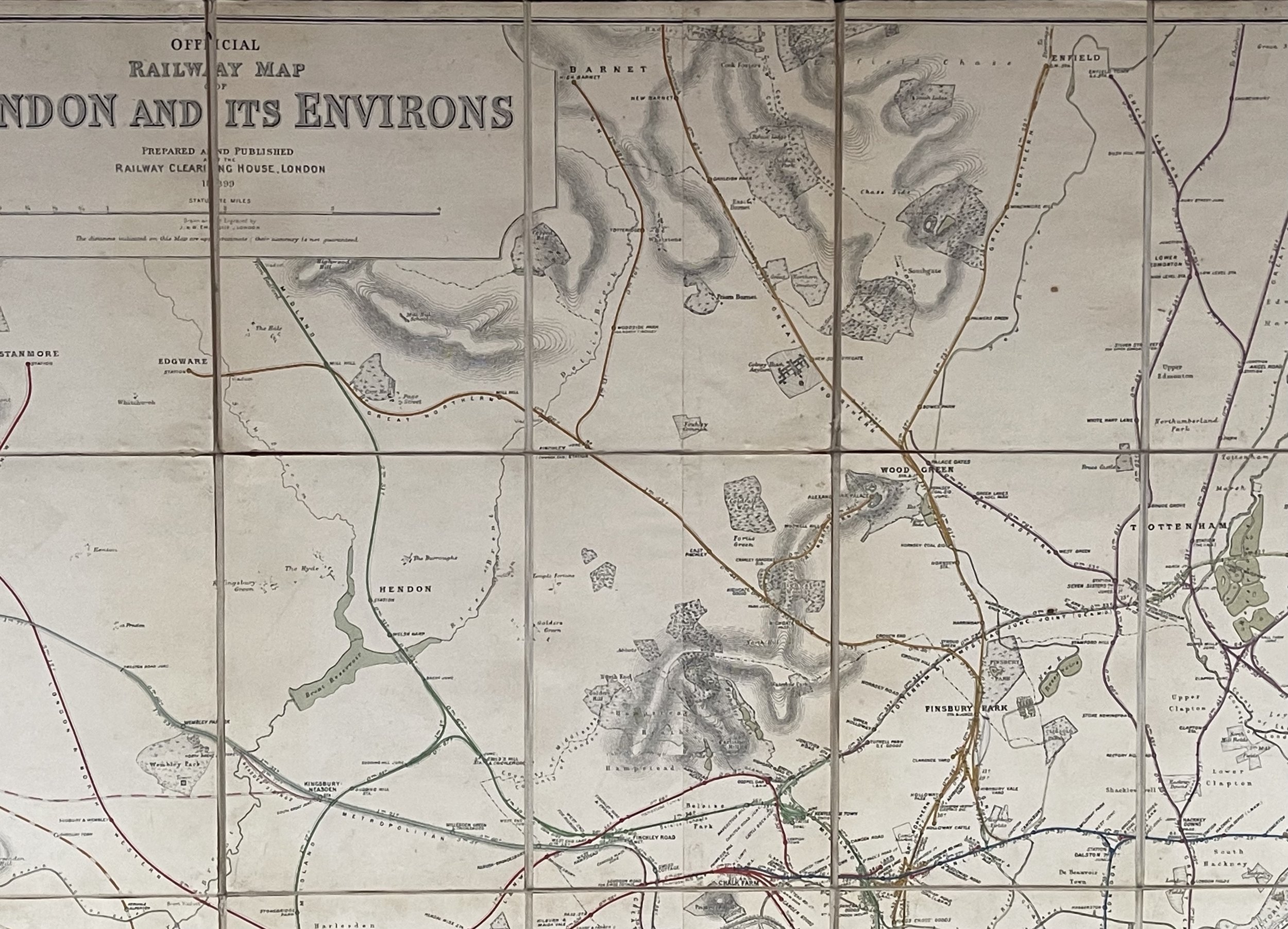 Image 23 of 24
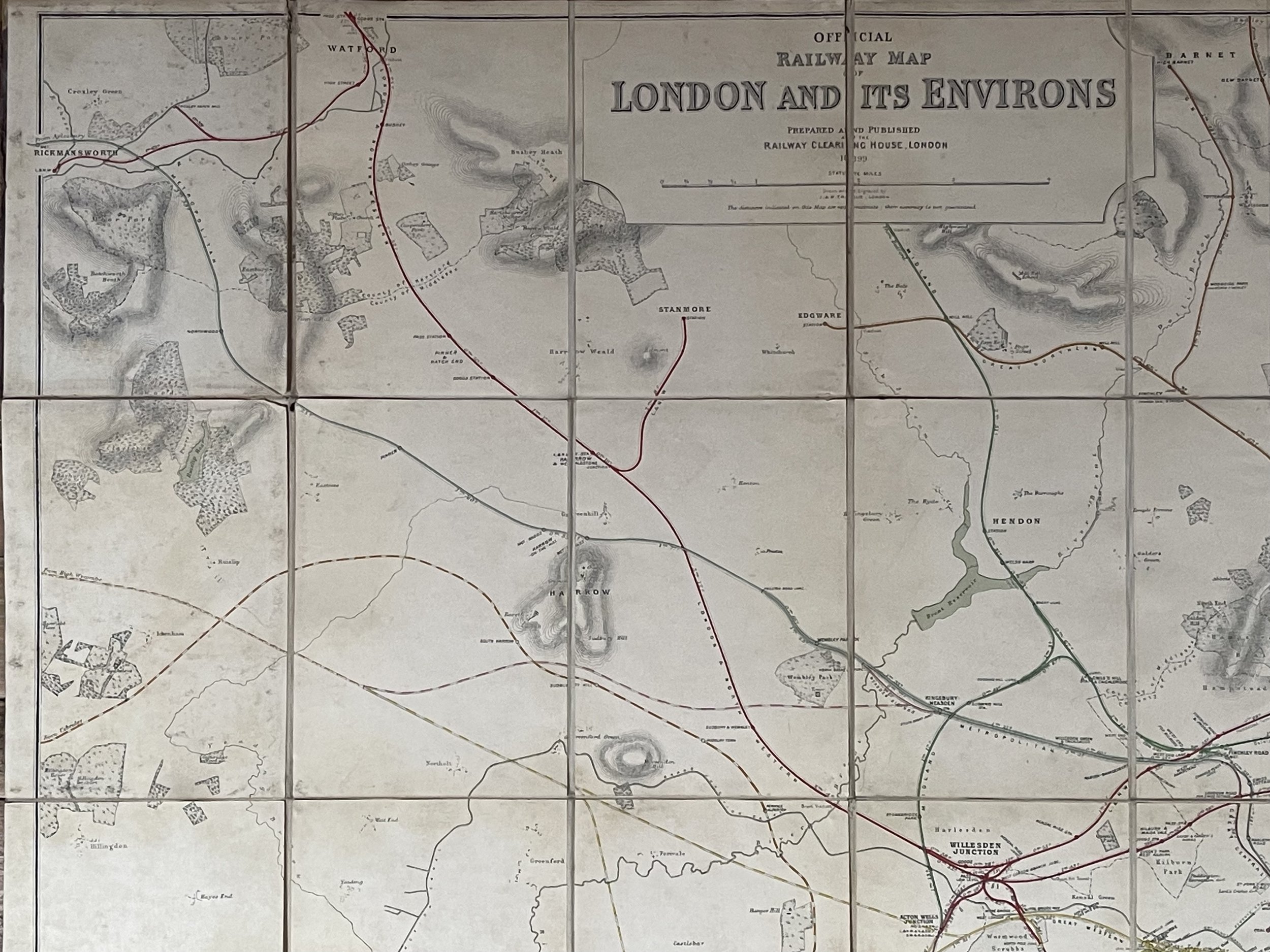 Image 24 of 24