 Image 1 of 7
 Image 2 of 7
 Image 3 of 7
 Image 4 of 7
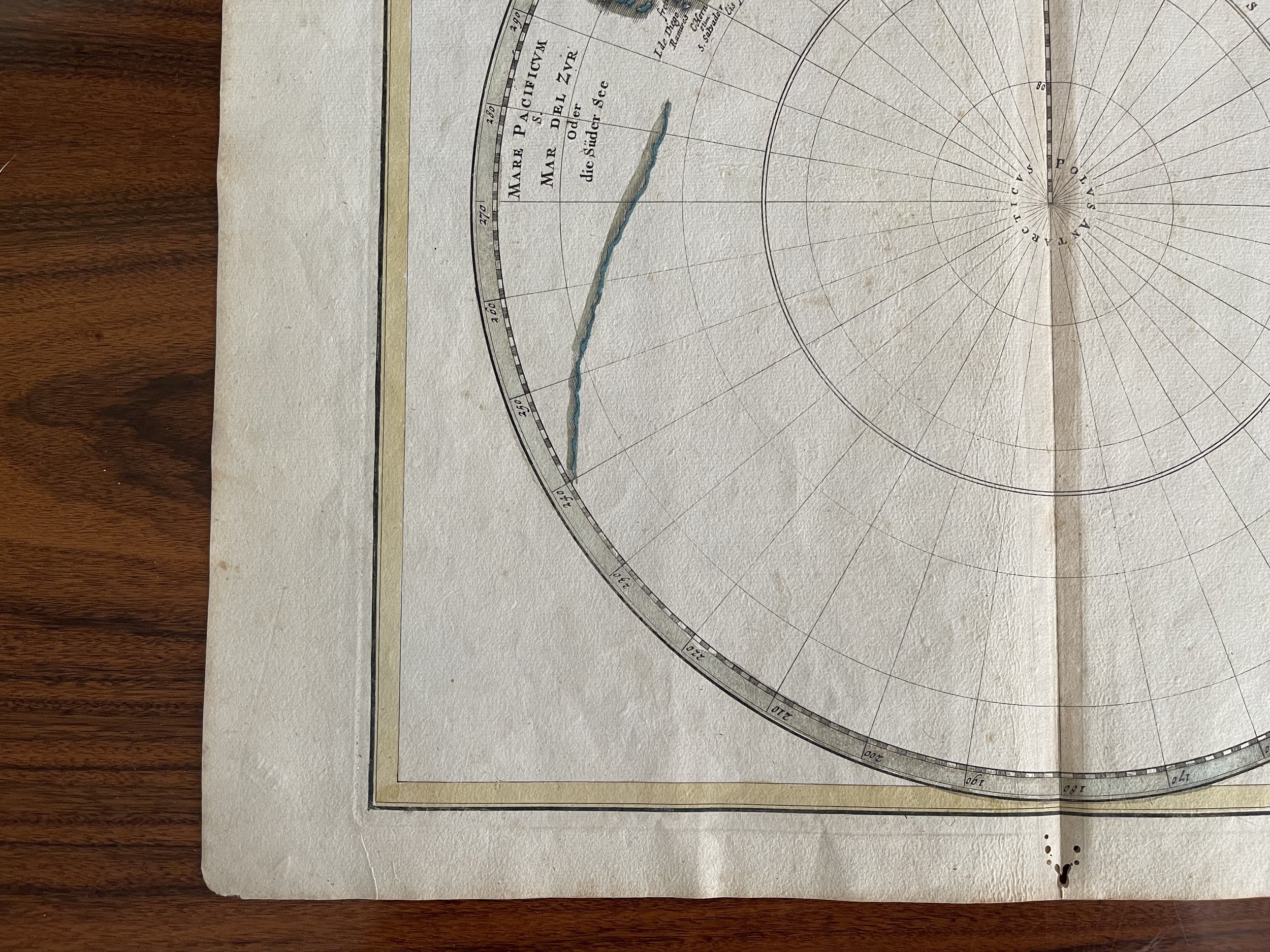 Image 5 of 7
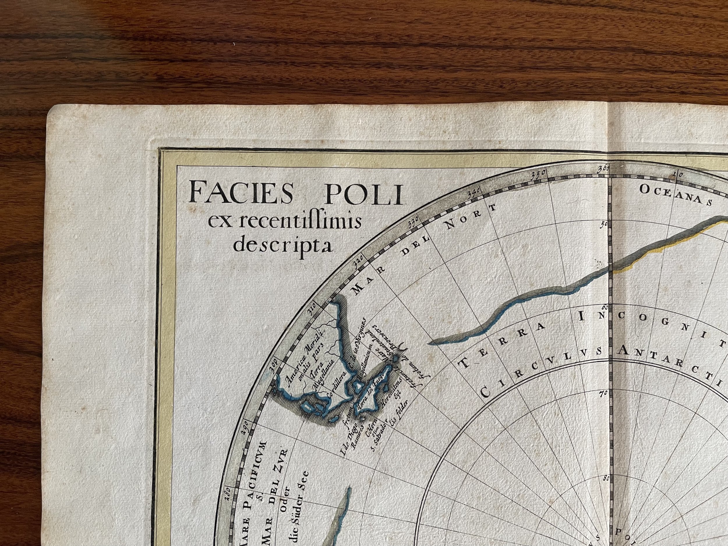 Image 6 of 7
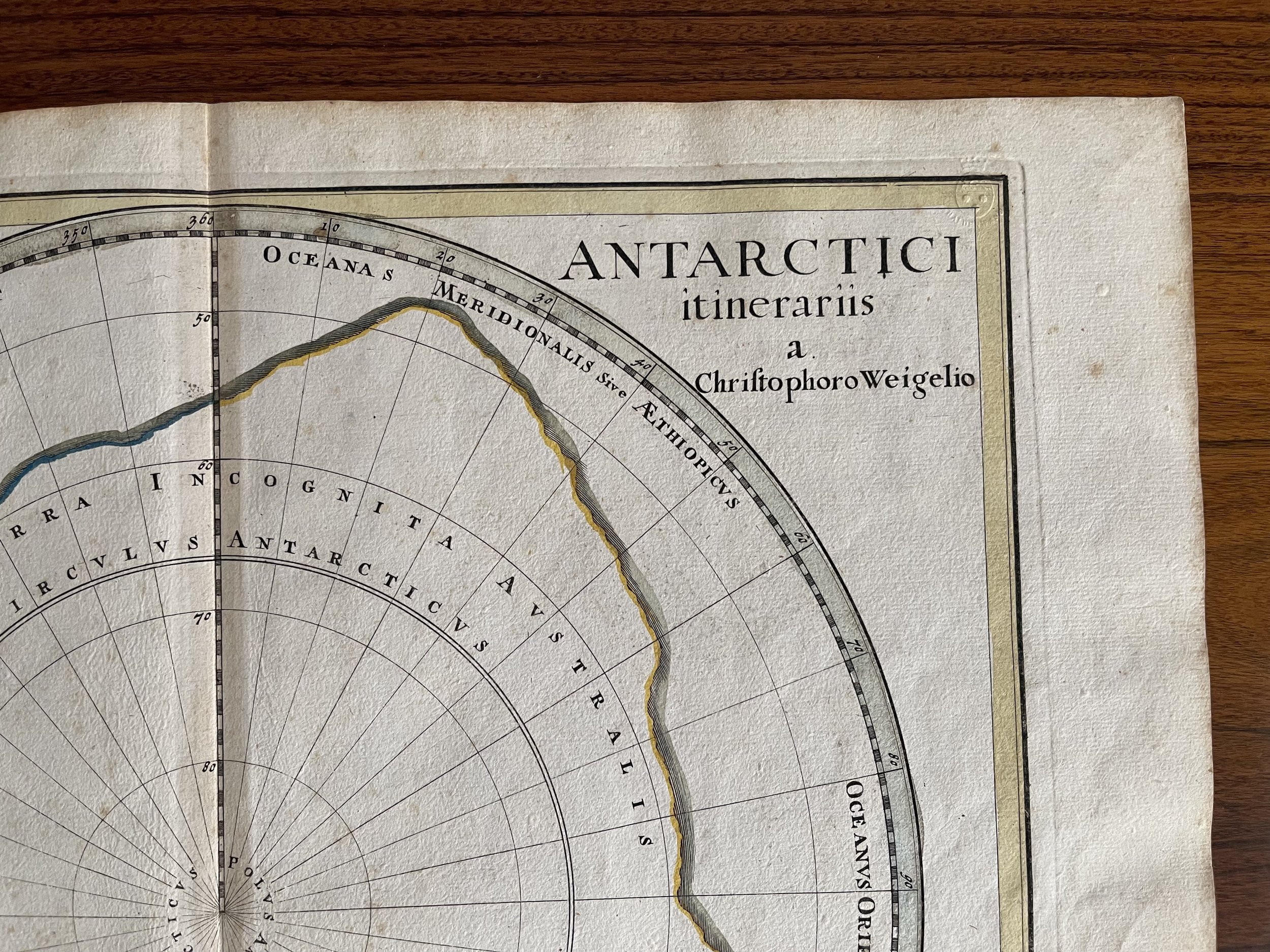 Image 7 of 7
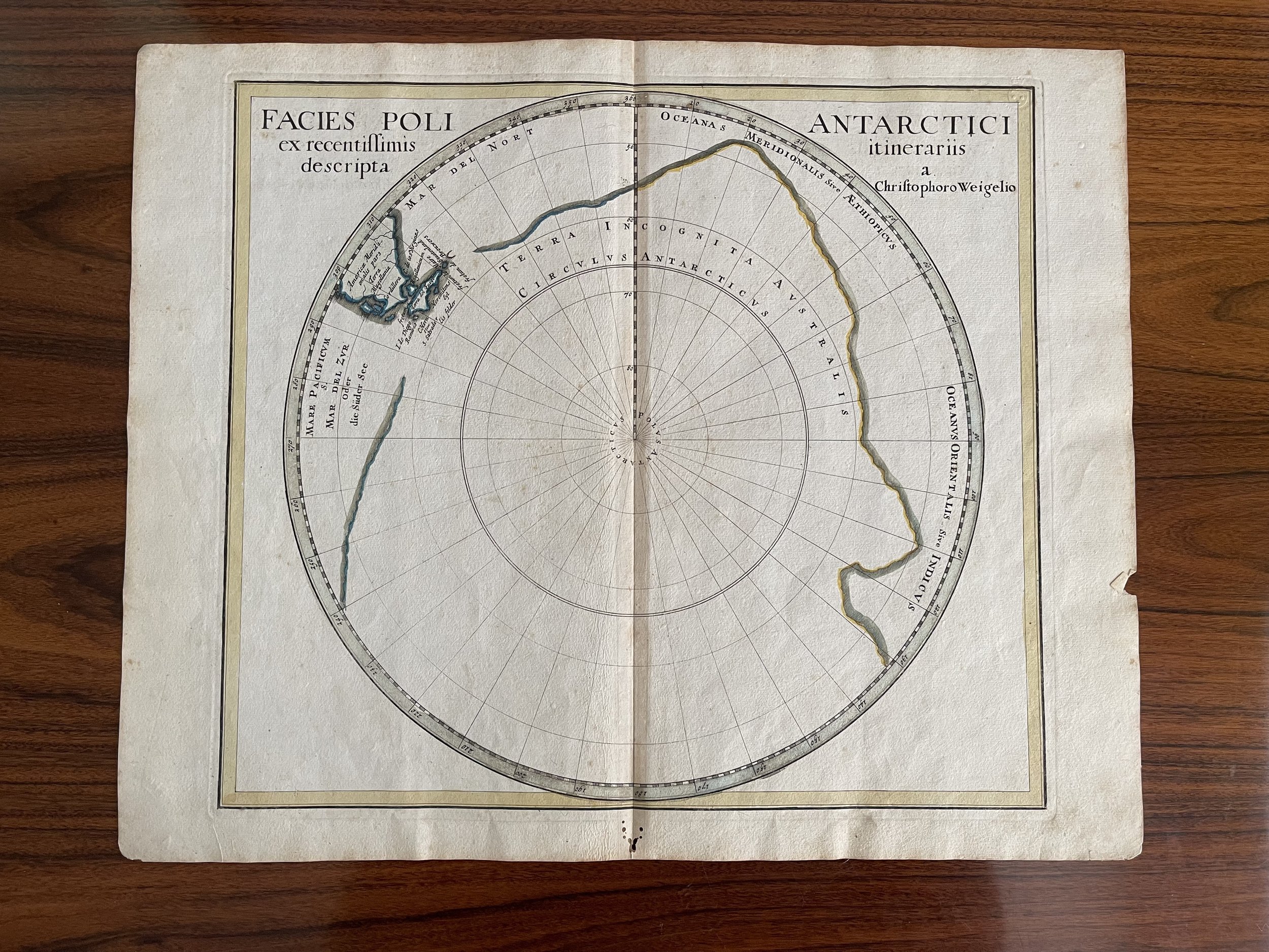
Code : A790
Cartographer : Weigel, Christoph
Date : 1718
Size : Sheet size: 32:36 cm (12 1/2 x 14 1/4 inch.).
Availability : Available
Type - Genuine Antique
Grade B+