W. H. SMITH & SONS PLAN OF LONDON - 1895
Undated, online institutional library collections who hold copies on Copac give two dates for this map, 1886 & 1895. Bound in cloth covers measuring 6.25 inches by 4 inches approx. (16cm by 10cm). This linen backed map opens up to 32 inches by 23 inches approx. (82cm by 60cm)
The map has some obvious signs of wear and age, the cloth is split and worn along spine edges with front cover nearly detached, the map itself has numerous panel length splits along fold lines, a few lifted corners and a small split and crease along top edge but the map colouring and detail is in good condition as shown in the photos.
The cover mentions an index, if this was originally bound in before the map, it’s no longer present. The binding is rubbed and worn commensurate with age otherwise in solid condition, some occasional light marking and creasing wear else in good general condition.
Cartographer John George Bartholomew FRSE FRGS (22 March 1860 – 14 April 1920) was a British cartographer and geographer. As a holder of a royal warrant, he used the title "Cartographer to the King"; for this reason, he was sometimes known by the epithet "the Prince of Cartography".
Bartholomew's longest legacy is arguably naming the continent of Antarctica, which until his use of the term in 1890 had been largely ignored due to its lack of resources and harsh climate.
WH Smith PLC, trading as WHSmith (also written WH Smith, and known colloquially as Smith's and formerly as W. H. Smith & Son), is a British retailer, with headquarters in Swindon, England, which operates a chain of high street, railway station, airport, port, hospital and motorway service station shops selling books, stationery, magazines, newspapers, entertainment products and confectionery.
The company was formed by Henry Walton Smith and his wife Anna in 1792 as a news vendor in London. It remained under the ownership of the Smith family for many years and saw large-scale expansion during the 1970s as the company began to diversify into other markets. Following a rejected private equity takeover in 2004, the company began to focus on its core retail business. It was responsible for the creation of the ISBN book identifier.
WHSmith is listed on the London Stock Exchange and is a constituent of the FTSE 250 Index.
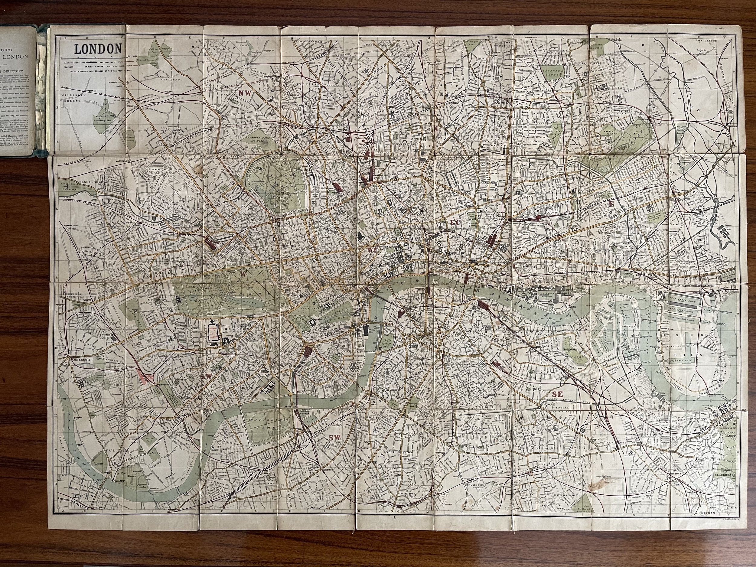 Image 1 of 15
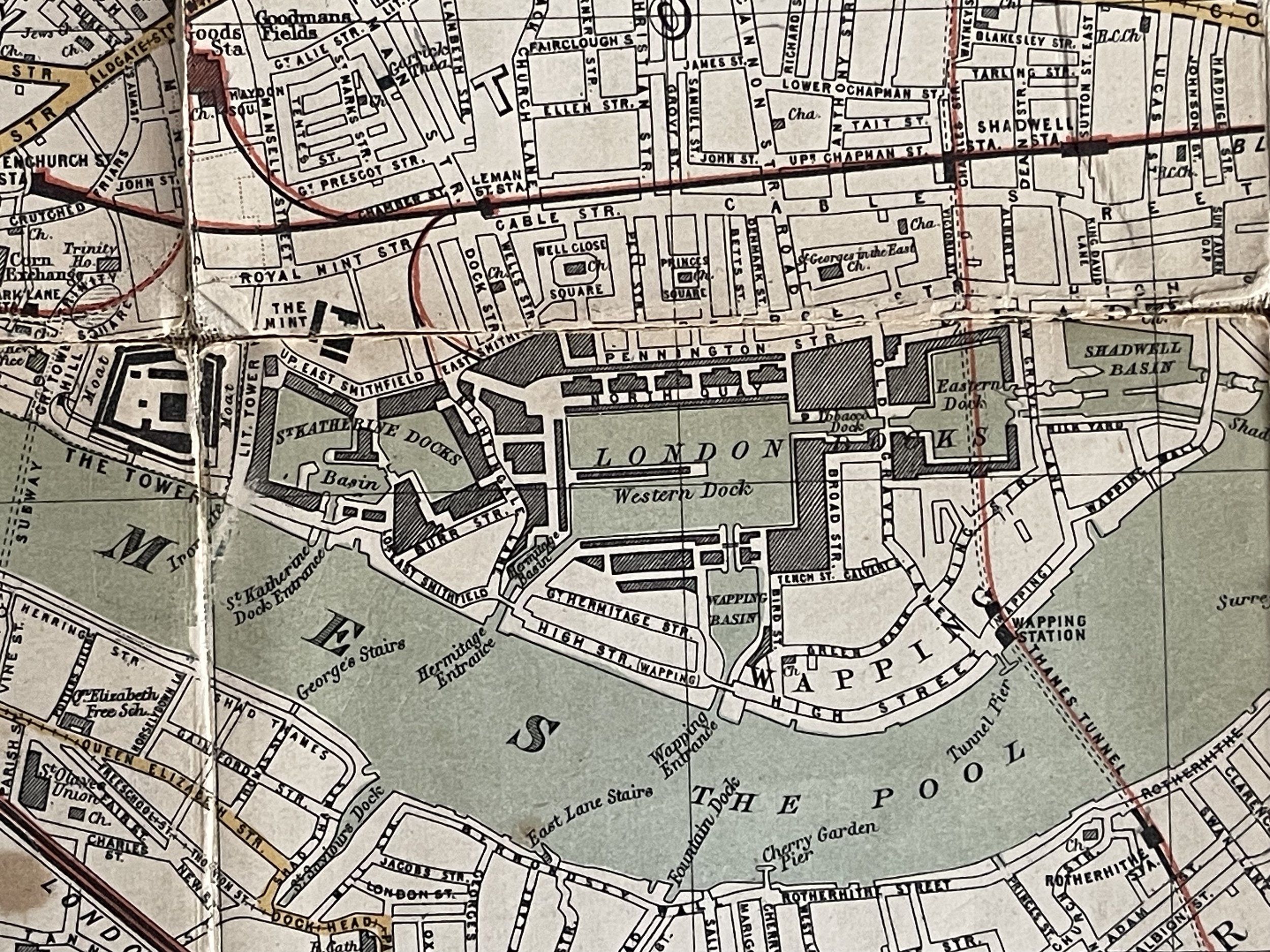 Image 2 of 15
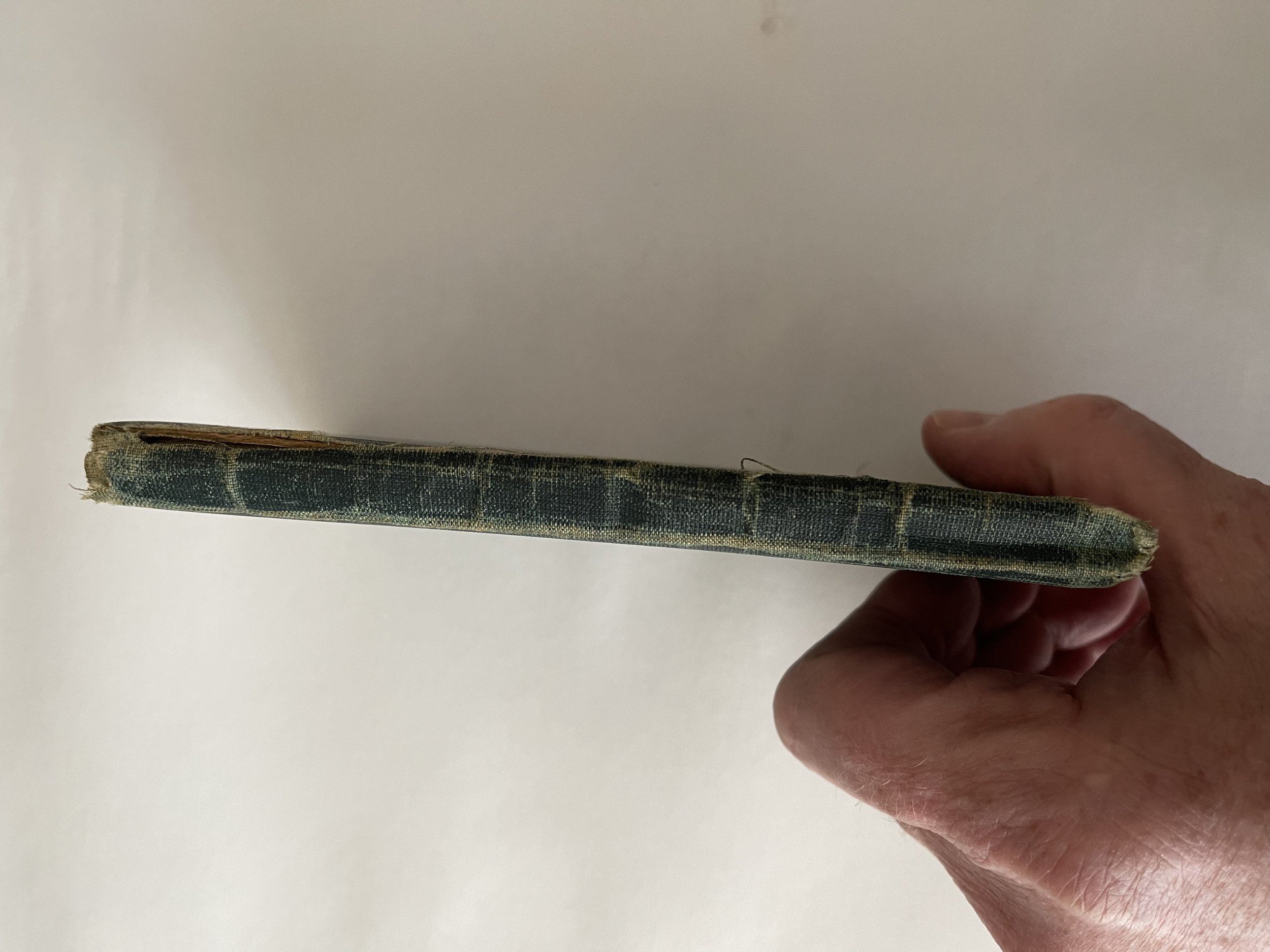 Image 3 of 15
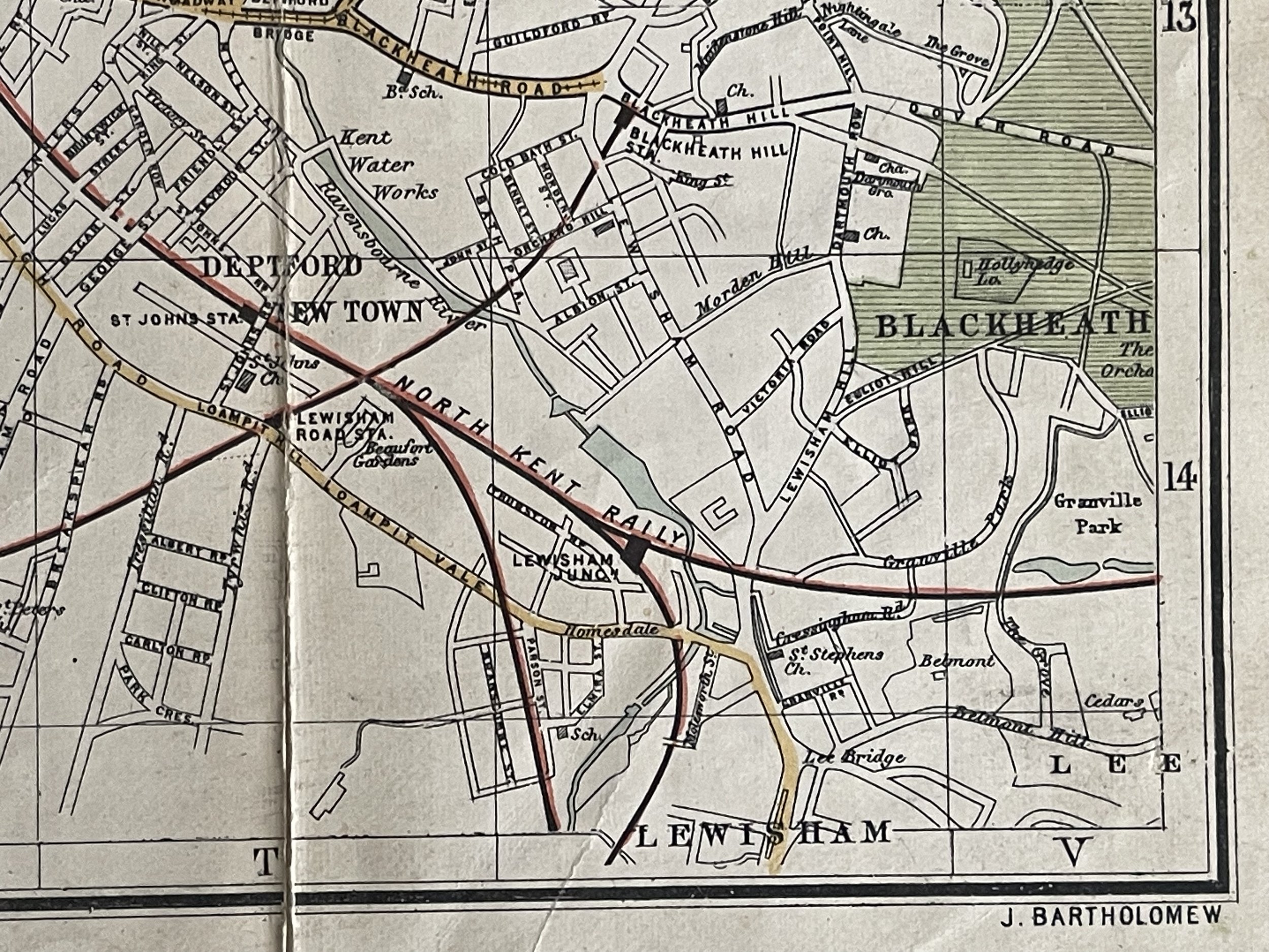 Image 4 of 15
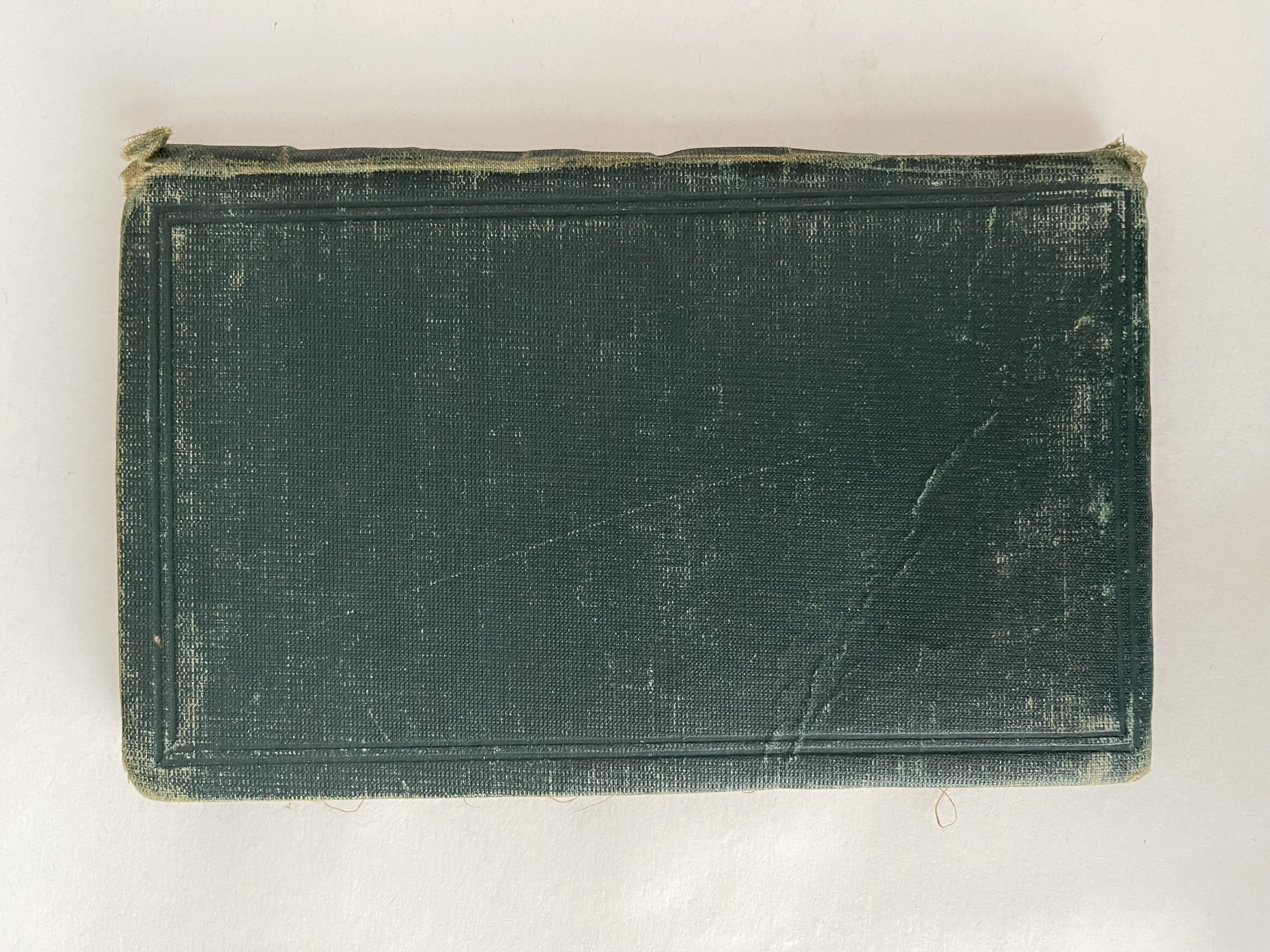 Image 5 of 15
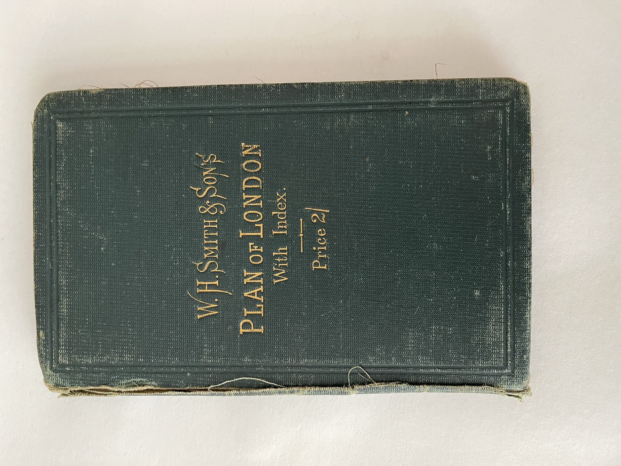 Image 6 of 15
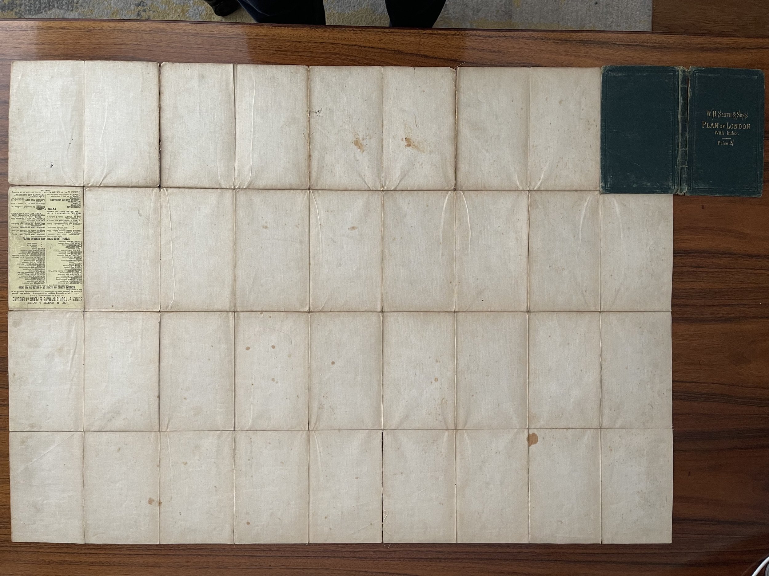 Image 7 of 15
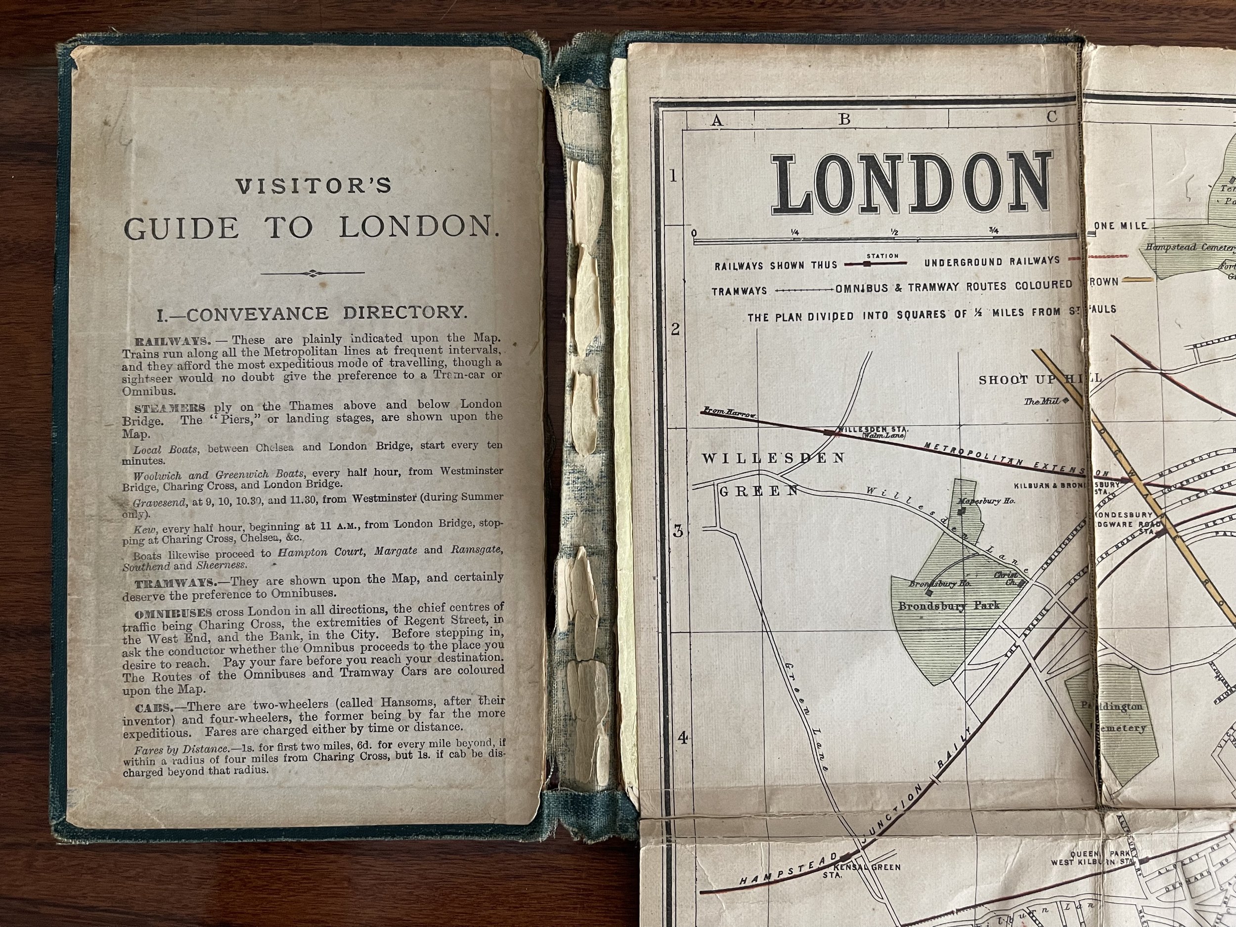 Image 8 of 15
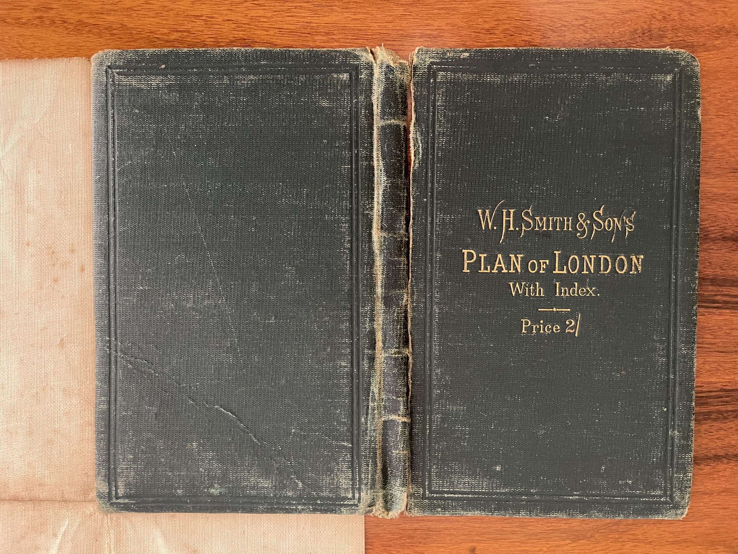 Image 9 of 15
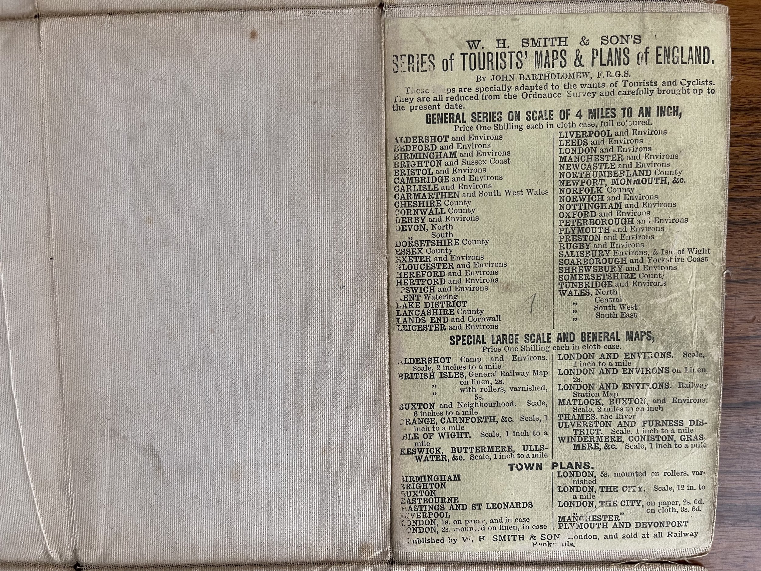 Image 10 of 15
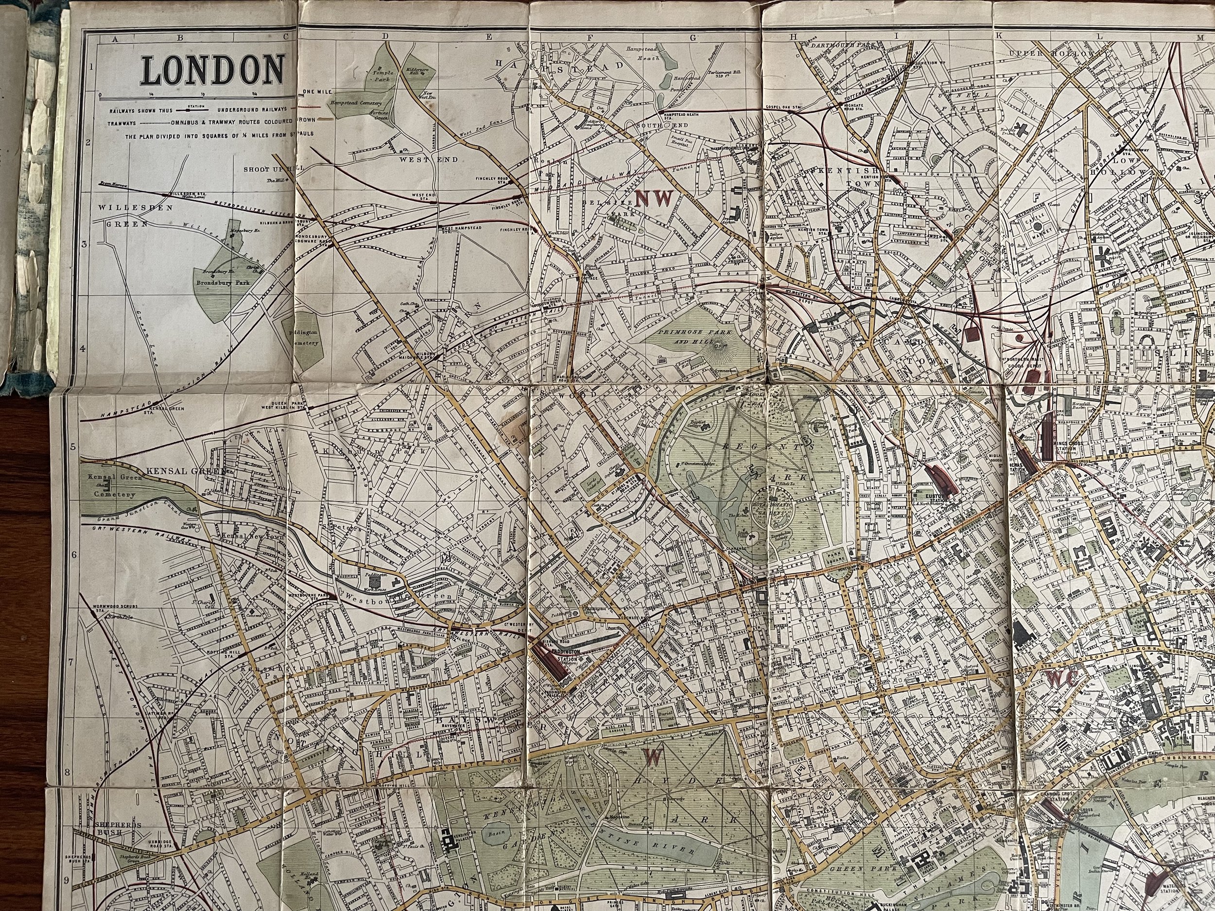 Image 11 of 15
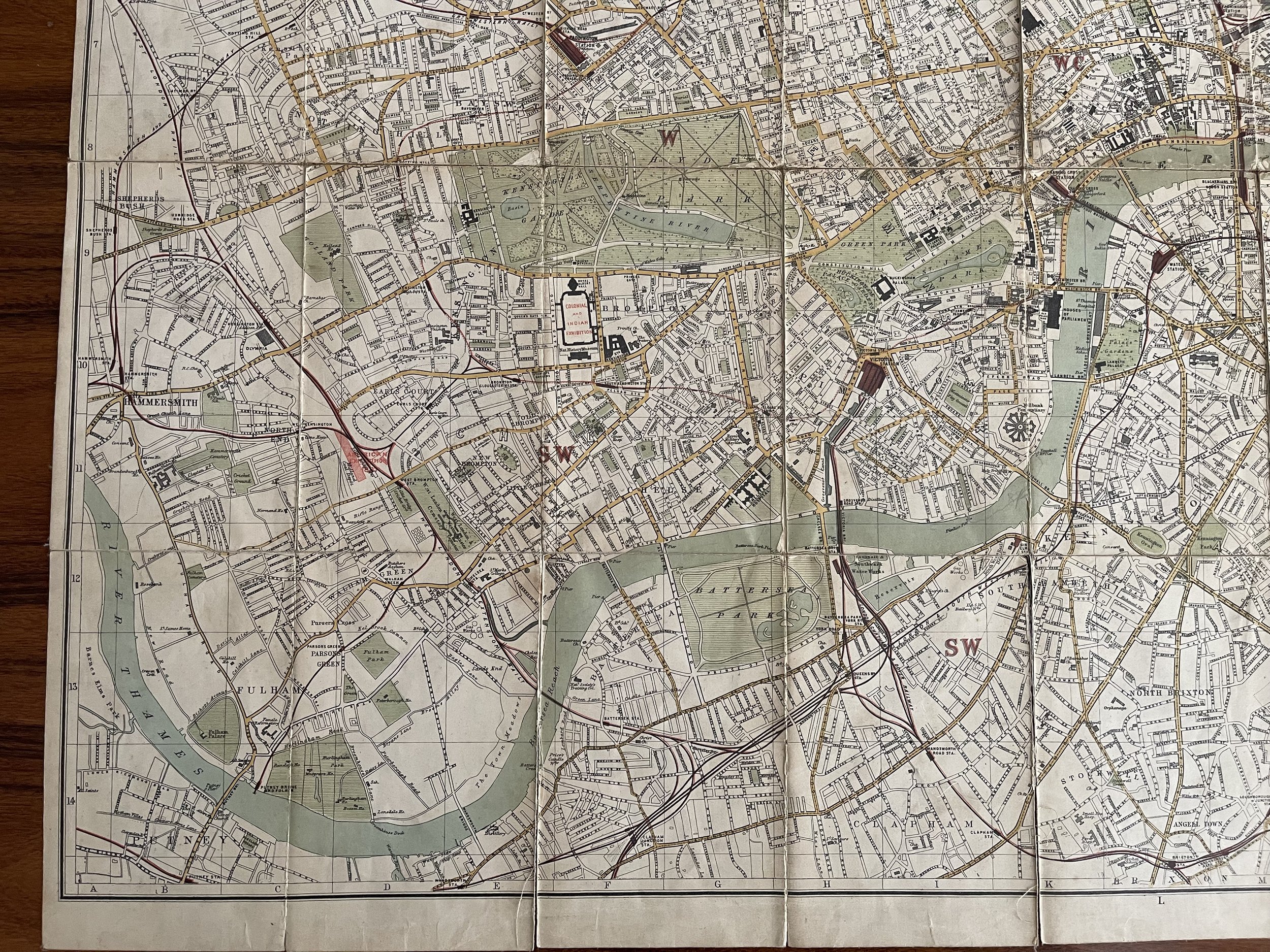 Image 12 of 15
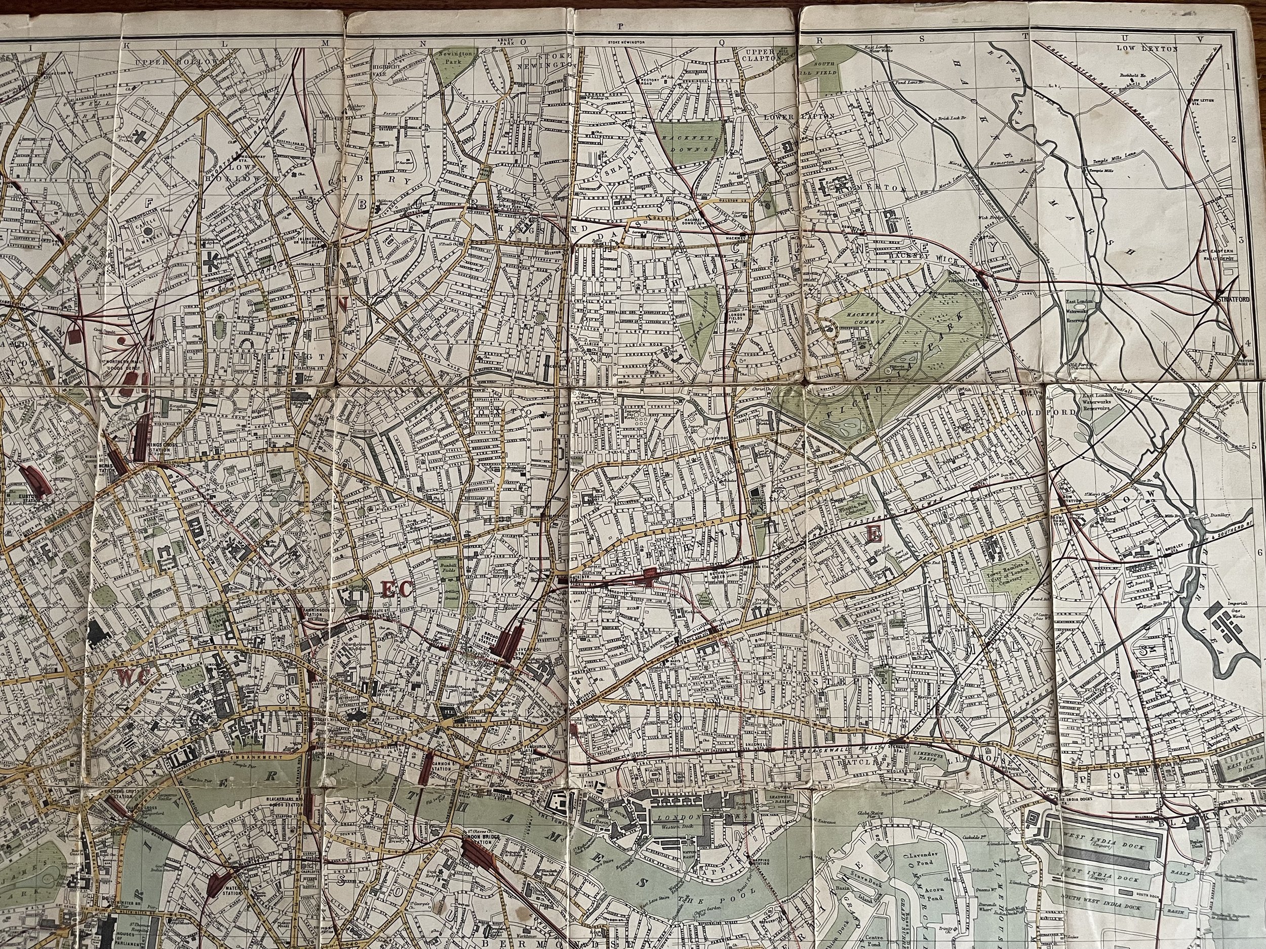 Image 13 of 15
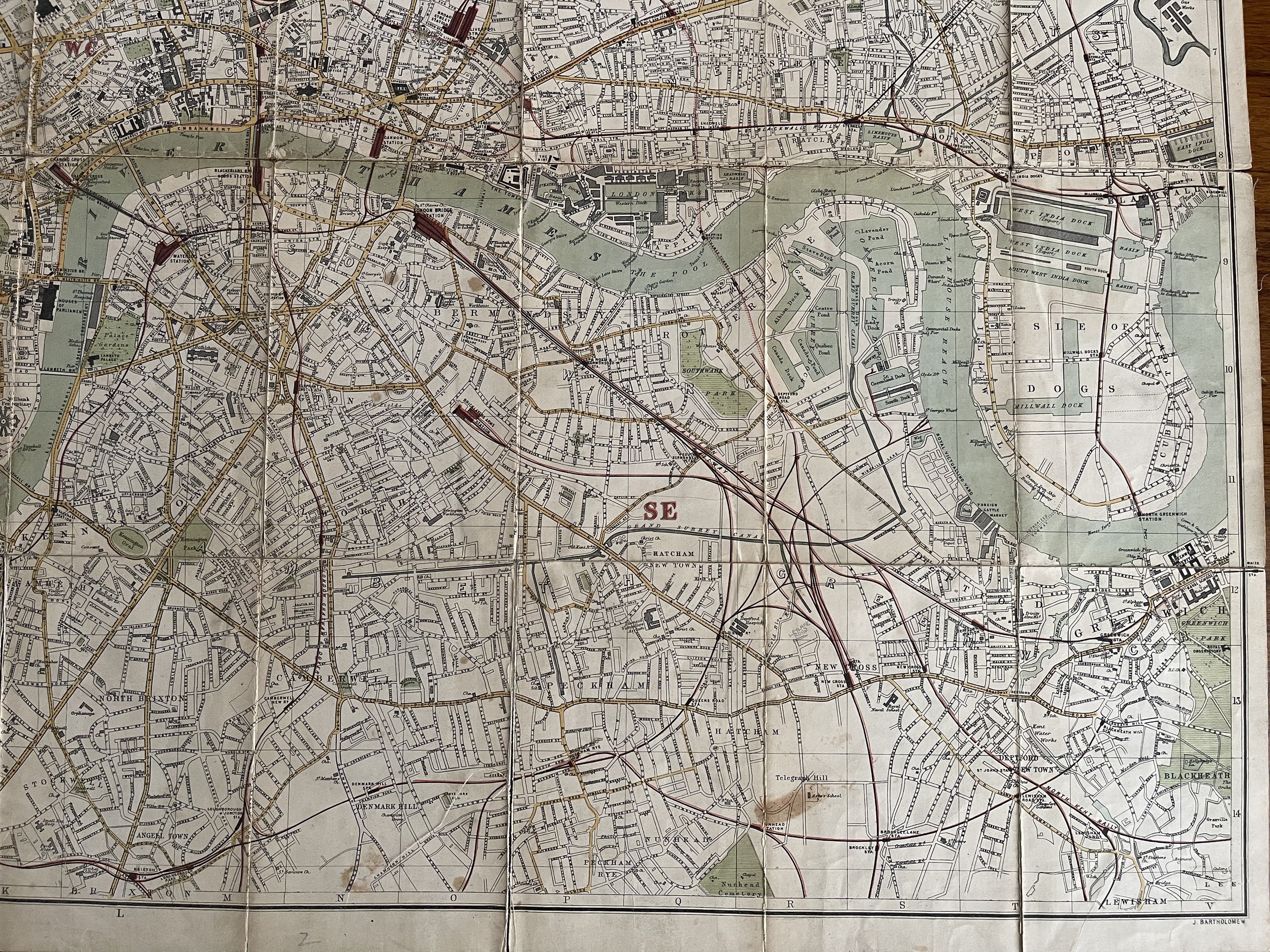 Image 14 of 15
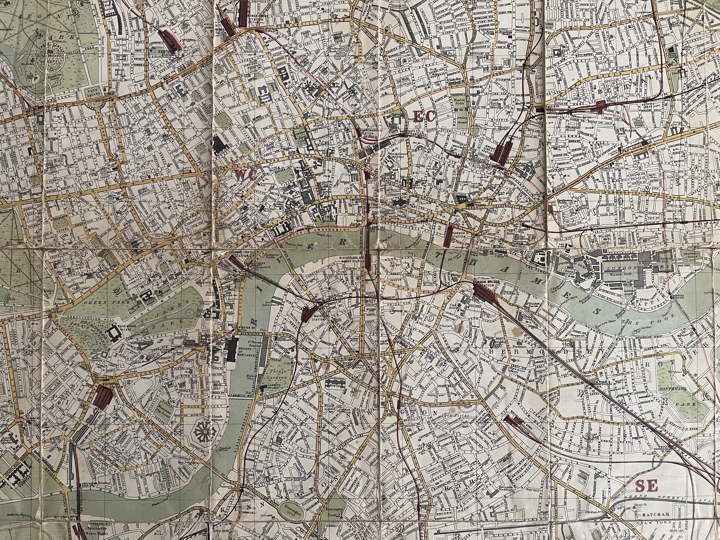 Image 15 of 15