Europe - George Philip & Son. Map by John Bartholomew
EDITION: Travelling Map SIZE: 25 by 22 inches approx SCALE: 140 mile to the inch. DATE: c 1900 (see notes)
STATE OF COVERS: Extremely good, ink smudge inside front cover STATE OF MAP: Extremely good. MAP Paper/Cloth: Cloth dissected
NOTES: Dates from before the break-up of the Ottoman empire and before the Balkan wars of 1912-13. (No Romania). An early printed in colour map.
John Bartholomew (25 December 1831 – 30 March 1893) was a Scottish cartographer.
Bartholomew was born in Edinburgh, Scotland. His father, John Bartholomew Sr., started a cartographical establishment in Edinburgh, and he was educated in the work.
He was subsequently assistant to the German geographer August Petermann, until in 1856 he took up the management of his father's firm. For this establishment, now known as the Edinburgh Geographical Institute, Bartholomew built up a reputation unsurpassed in Great Britain to produce the finest cartographical work.
Bartholomew was an in-house cartographer for George Philip. He is best known for the development of colour contouring (or hypsometric tints), the system of representing altitudes on a graduated colour scale, with areas of high altitude in shades of brown and areas of low altitude in shades of green. He first showcased his colour contouring system at the Paris Exhibition of 1878; although it initially met with scepticism, it went on to become standard cartographical practice.
Among his numerous publications, particularly worthy of note is the series of maps of Great Britain reduced from the Ordnance Survey to scales of ½ inch and ¾ inch to 1 mile, with relief shown by contour lines and hypsometric tints. The ½ inch series is among the finest of its kind ever produced.
Upon his retirement in 1888, John Bartholomew was succeeded in the firm by his son John George, who extended the ½-inch series, and applied its principles to many other works. For the last six years of his life Bartholomew was living at 32 Royal Terrace in Edinburgh.
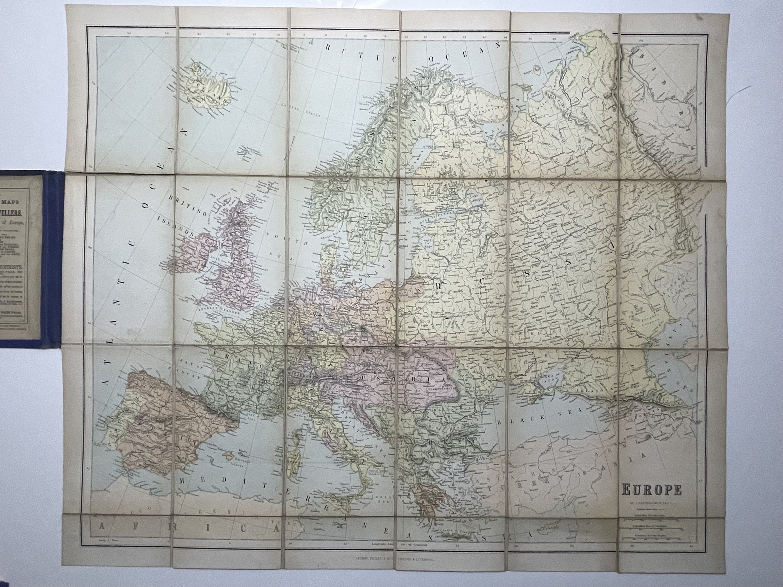 Image 1 of 20
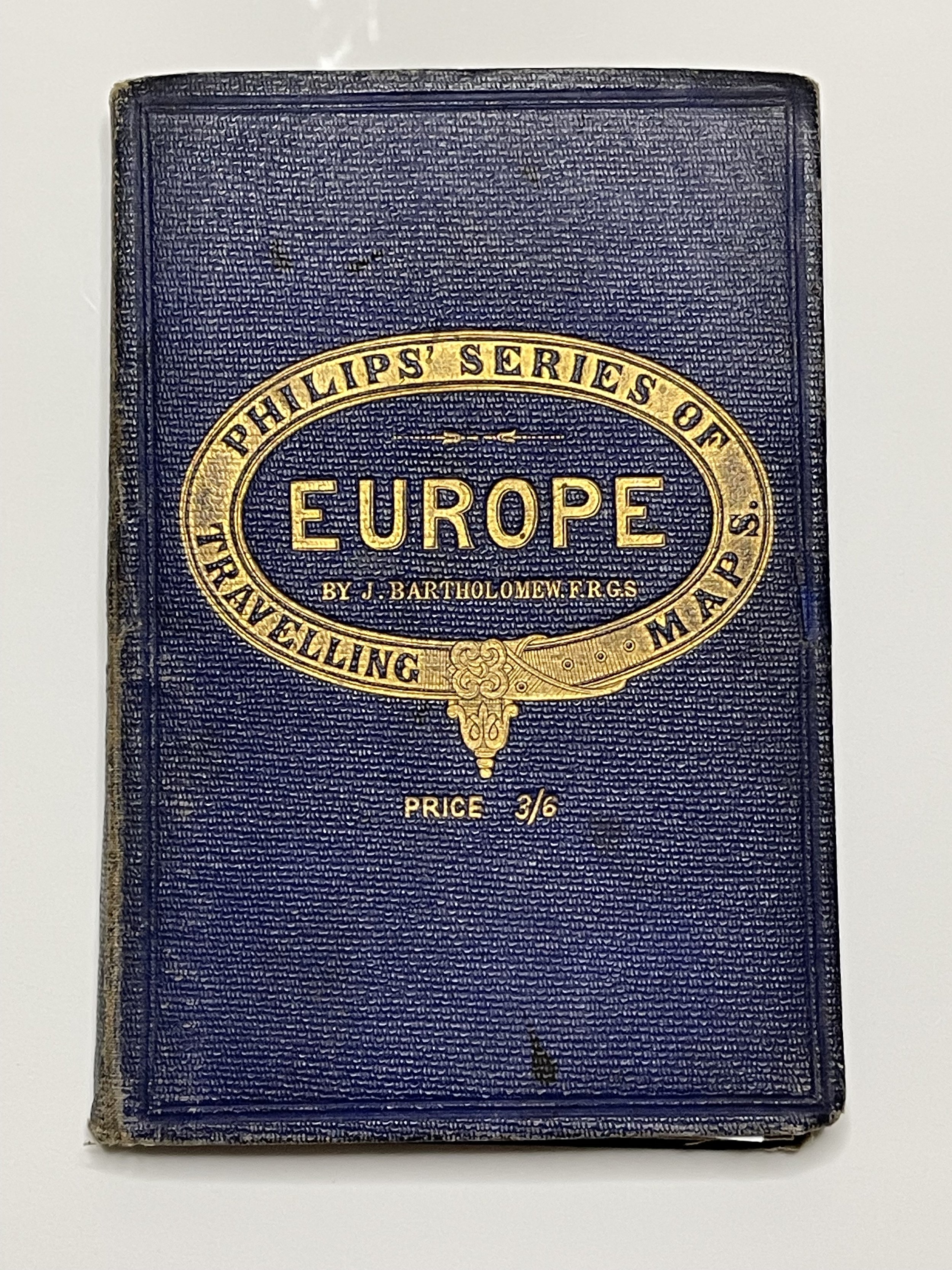 Image 2 of 20
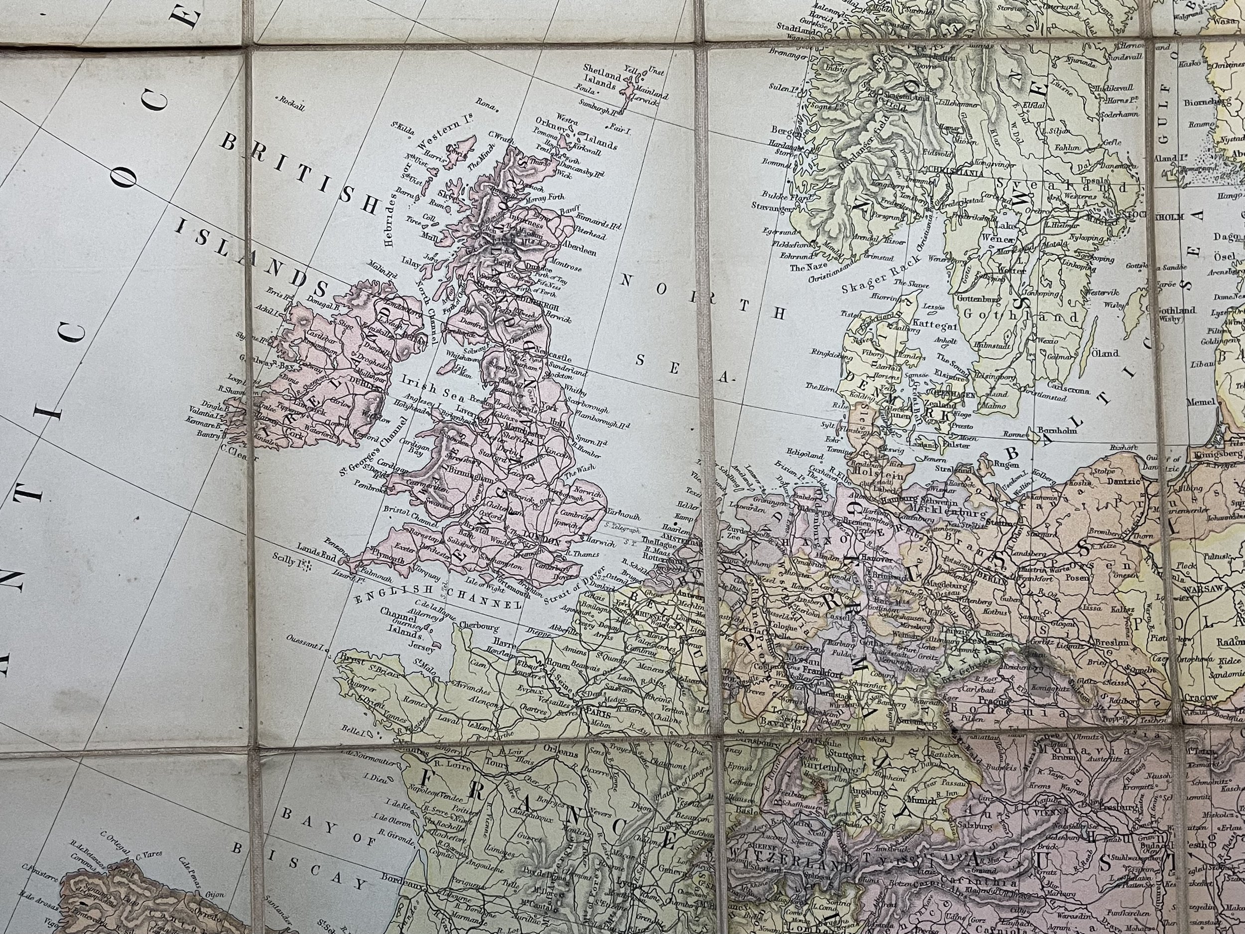 Image 3 of 20
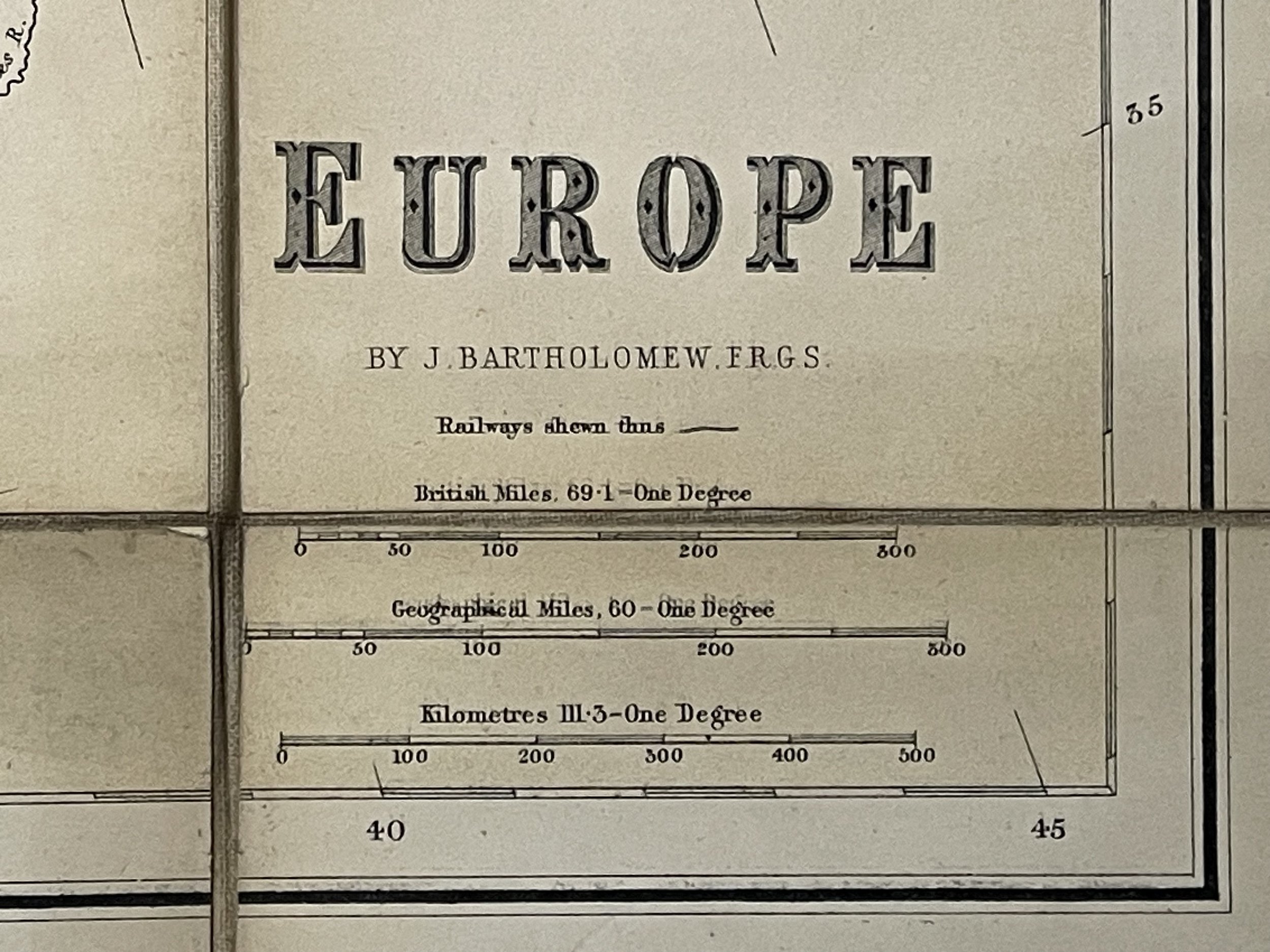 Image 4 of 20
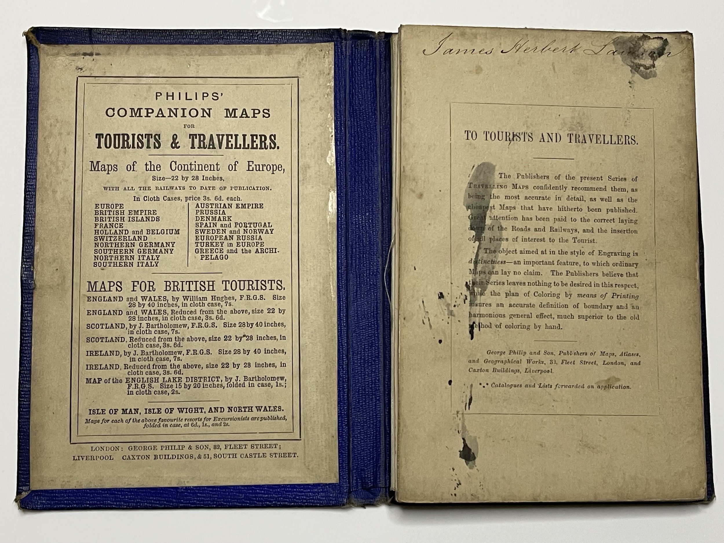 Image 5 of 20
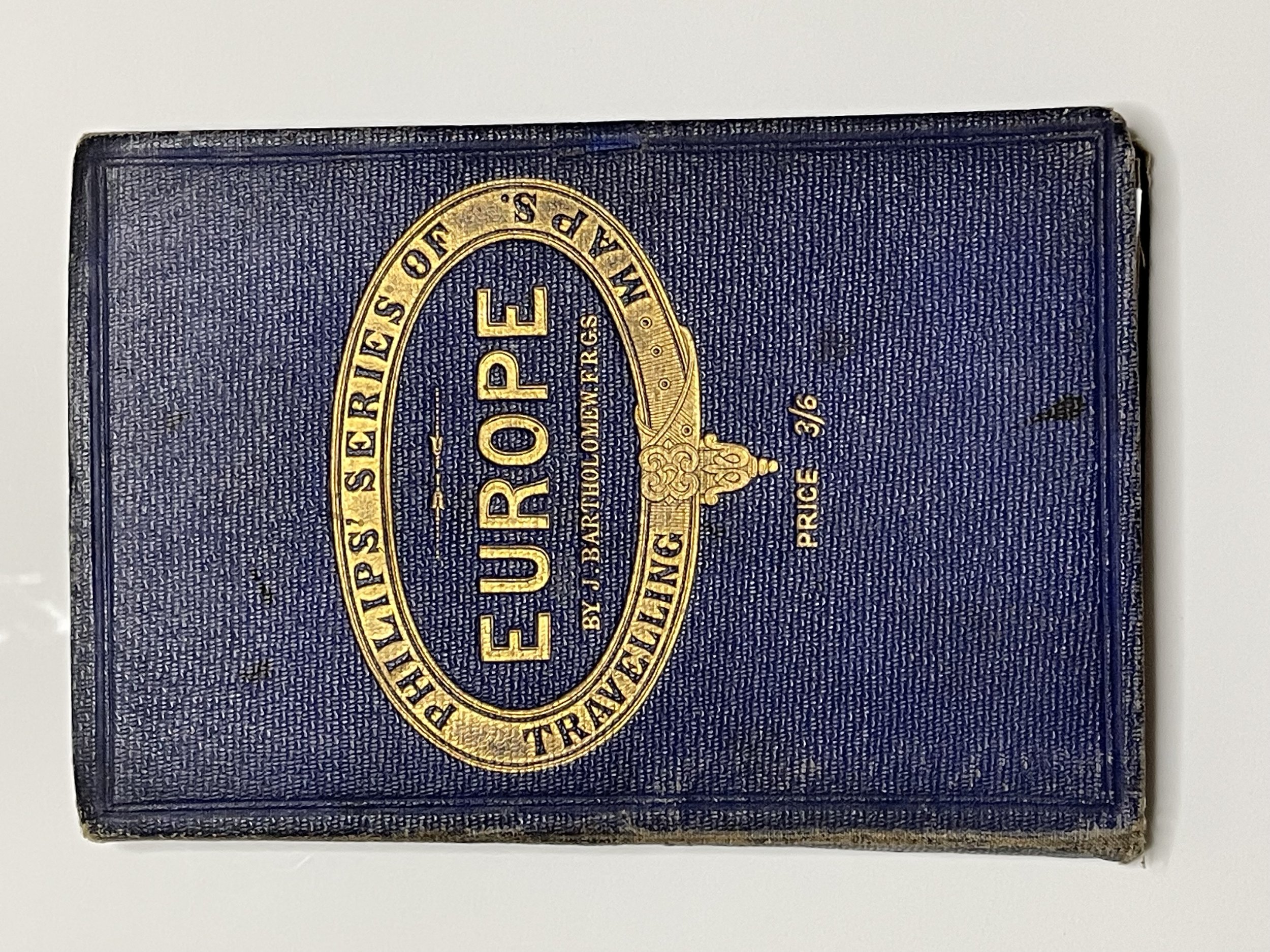 Image 6 of 20
 Image 7 of 20
 Image 8 of 20
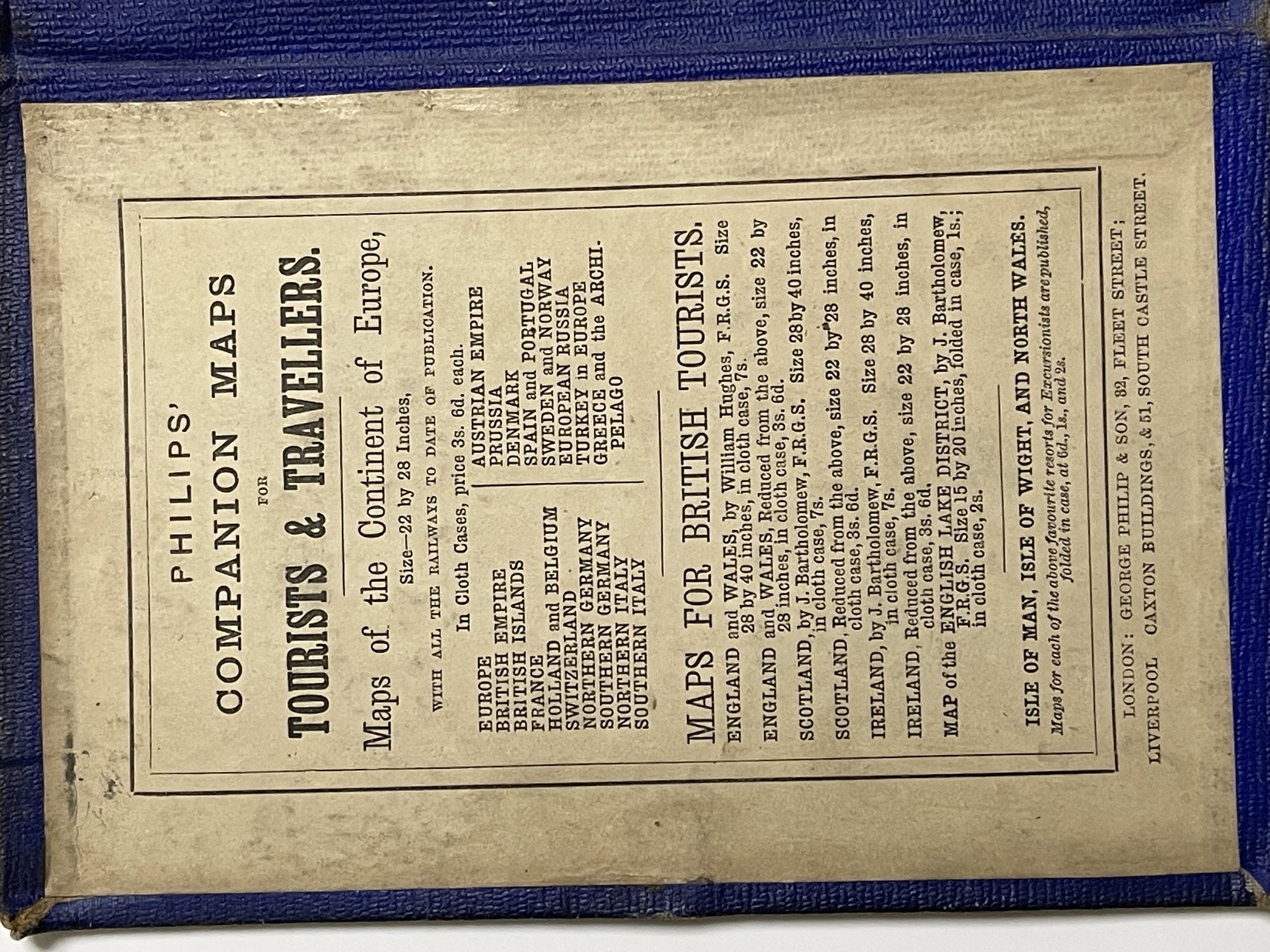 Image 9 of 20
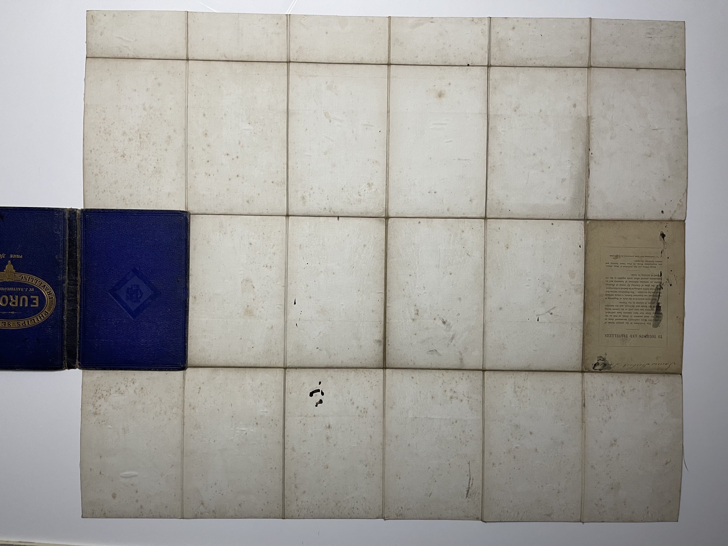 Image 10 of 20
 Image 11 of 20
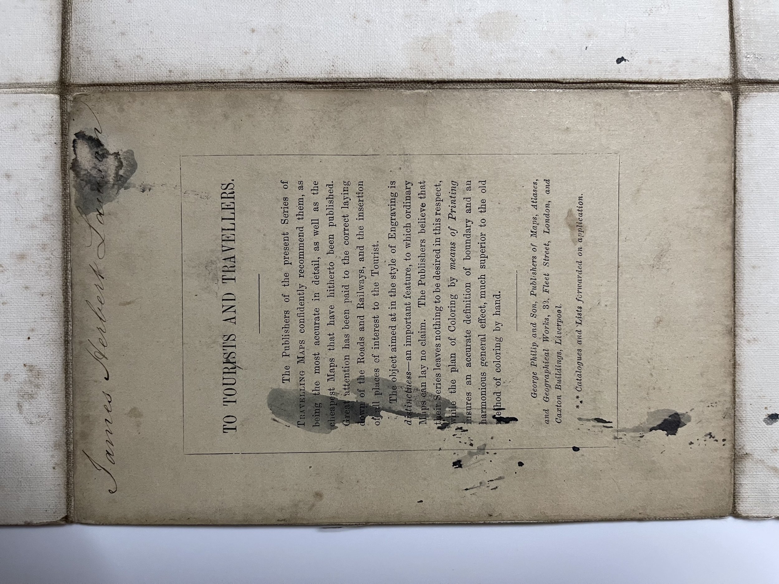 Image 12 of 20
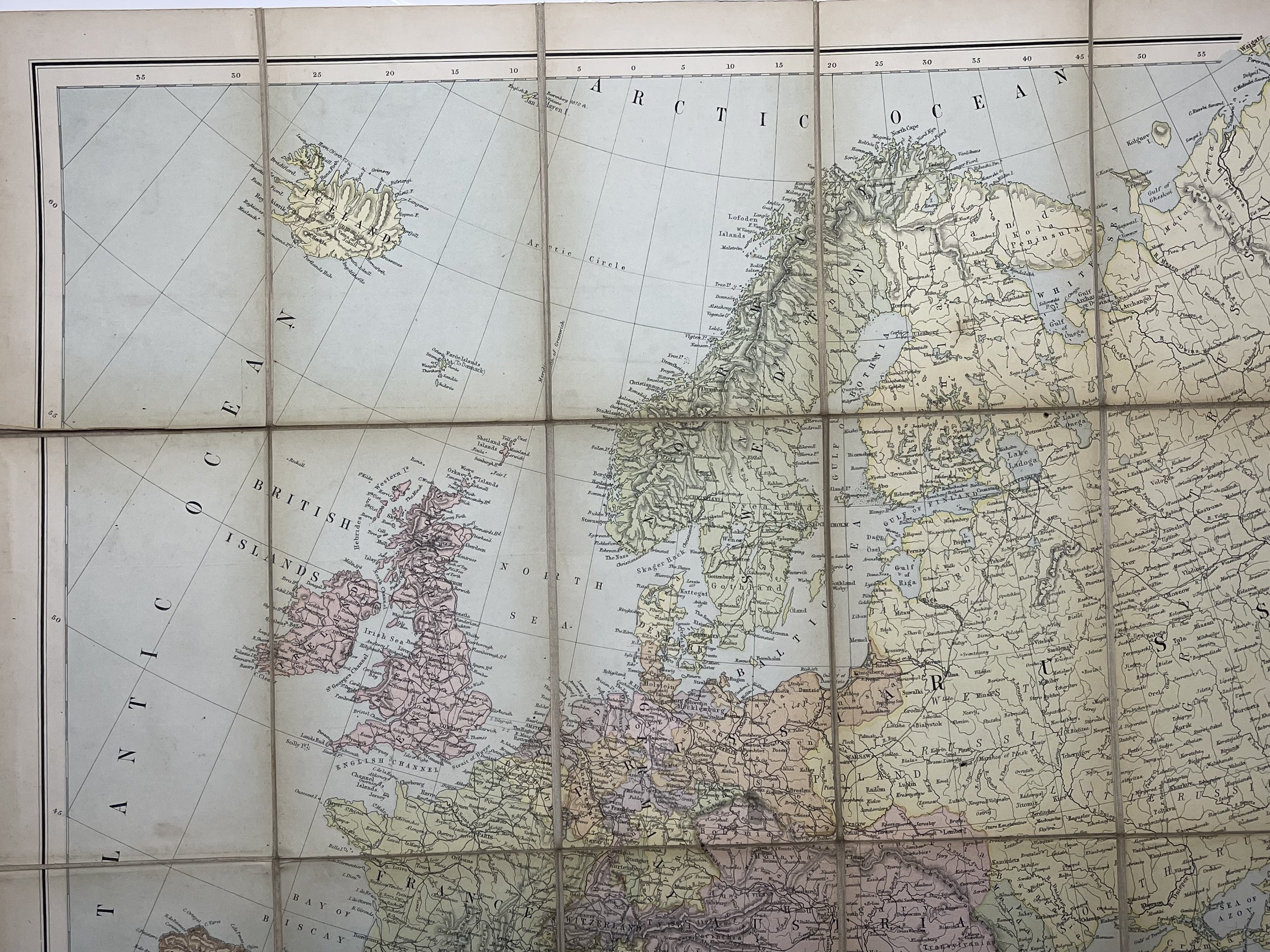 Image 13 of 20
 Image 14 of 20
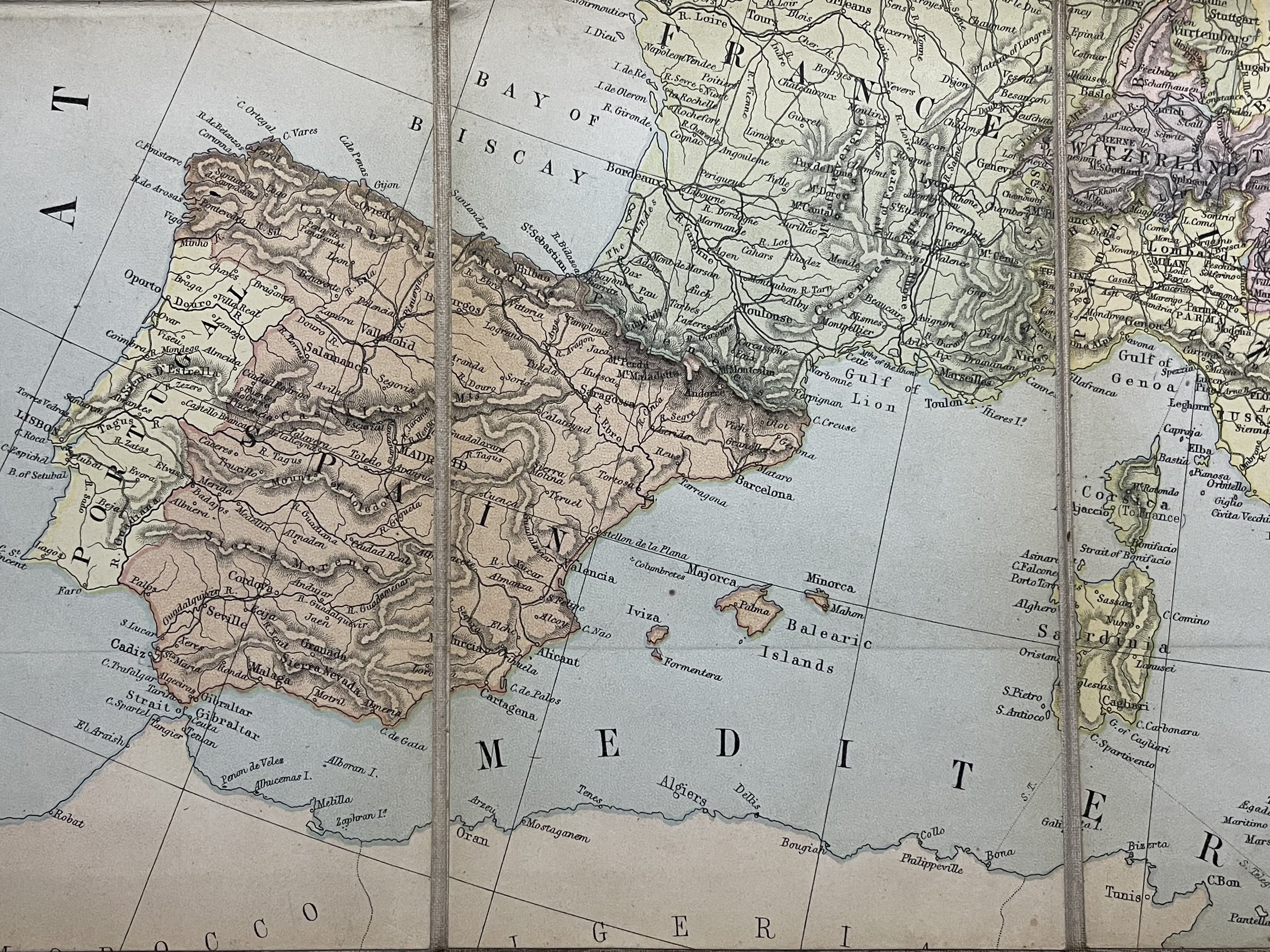 Image 15 of 20
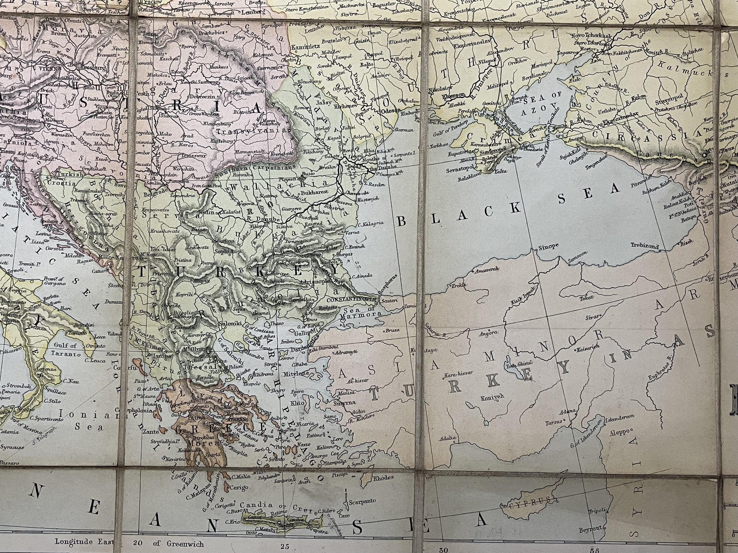 Image 16 of 20
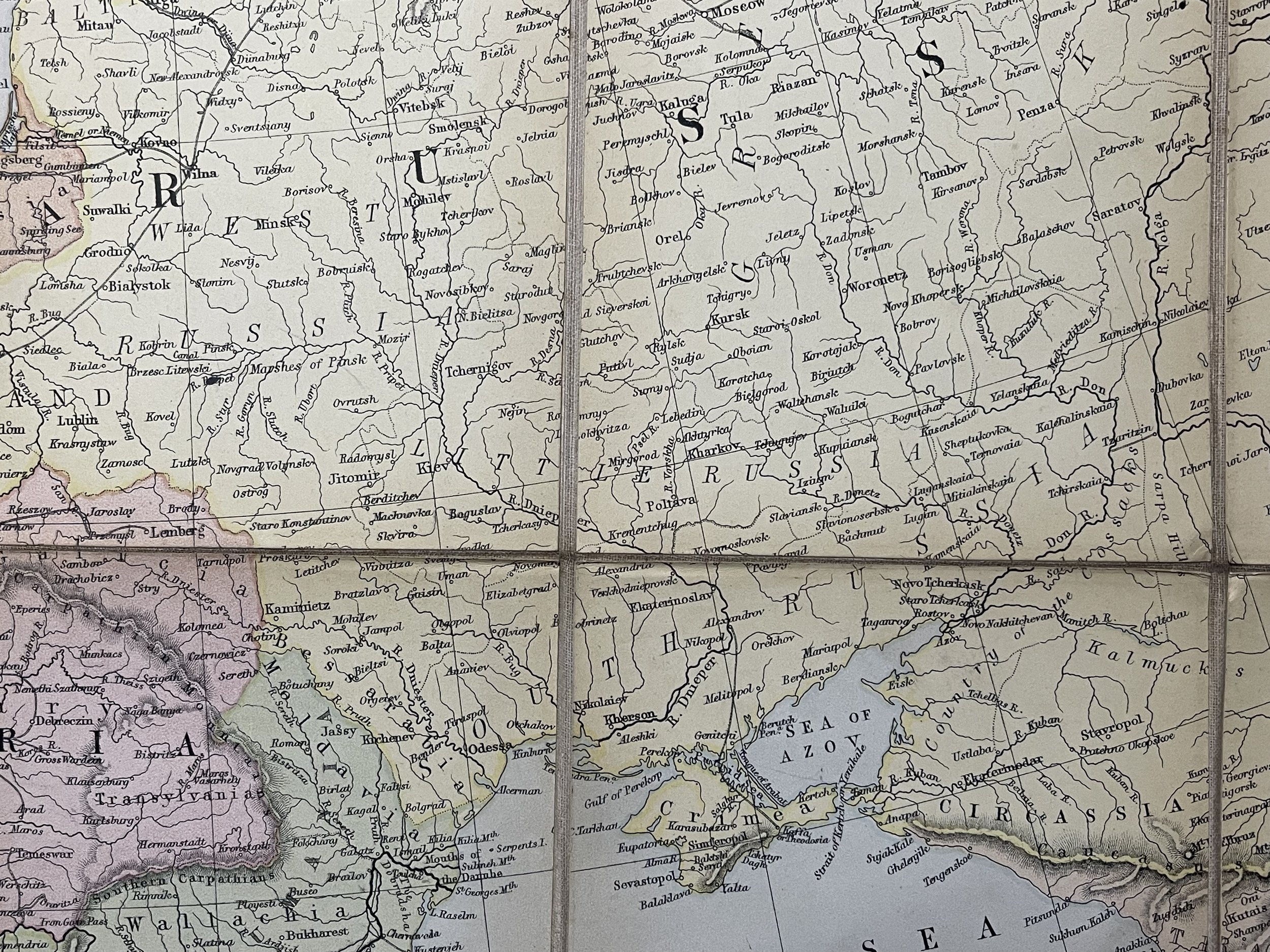 Image 17 of 20
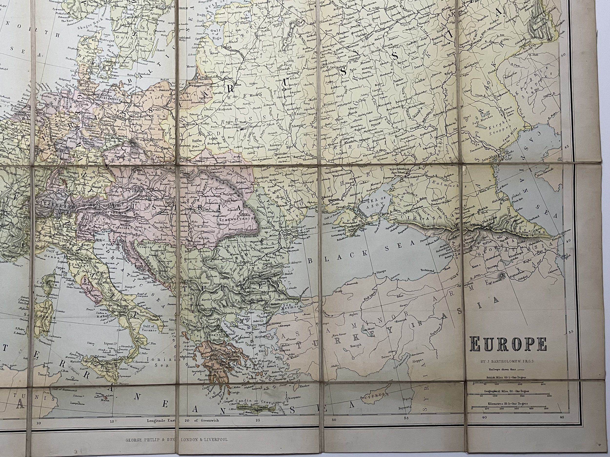 Image 18 of 20
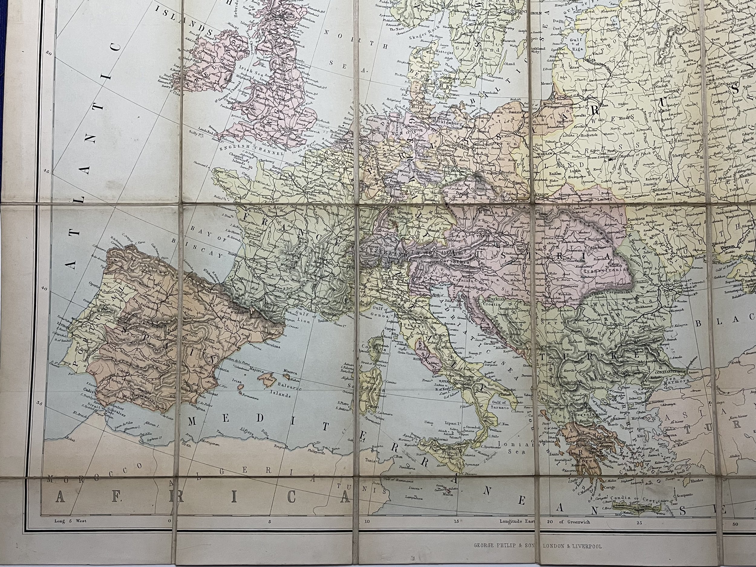 Image 19 of 20
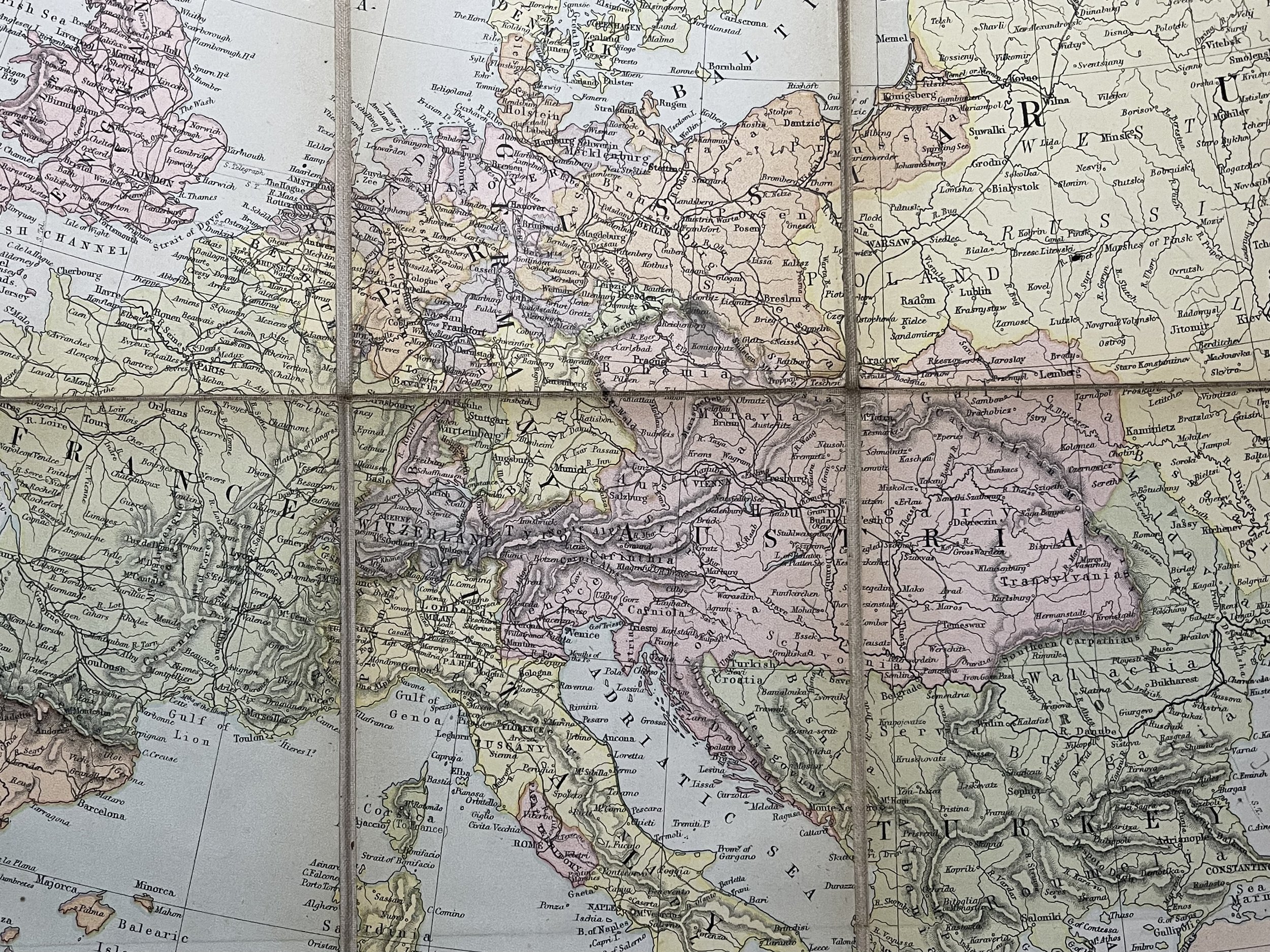 Image 20 of 20