Carte Paris et sa Banlieue L'Indicateur du Fidèle Voyageur 1764
Map of Paris and its Suburbs - The Indicator of the Faithful Traveller François raised and erected by Mr Michel engineer and geographer of the King in 1764.
The Faithful Indicator or travellers’ guide
Which teaches all the royal and particular roads of France, roads surveyed topographically from the beginning of this century and subject to a geometric graduation, containing all the cities, towns, villages, hamlets, farms, castles, abbeys, communities, churches, chapels and other houses nuns, mills, inns, courts and provincial boundaries, rivers, streams, ponds, marshes crossed by the main roads and accompanied by a reasoned itinerary which gives the day and time of the departure of dinner and bedtime, both of the coaches by water, as well as of the carriages, stagecoaches and messengers of the Kingdom with the number of leagues that these different carriages travel each day, drawn up by Mr. Michel, engineer-geographer of the King, updated and directed by Sr. Desnos, Geographical Engineer.
1750’s - Louis-Charles Desnos
Entered the map and globe business in the 1750s, as a fondeur or instrument maker, when he married the widow of French globe maker Nicolas Hardy (before 1717-1744). Nicolas had inherited the business founded by his father Jacques hardy (fl. 1738- 1745), including the globes, spheres, copper plates and tools. Desnos was one of four french globe makers at the time and became one of the most successful map and atlas publishers of the enlightenment, later exchanging the title of fondeur for the more prestigious ingenieur géographe (geographic engineer) as well as Marchand libraire (bookseller). He is known to have collaborated with the geographer Jean- Baptiste Nolin.
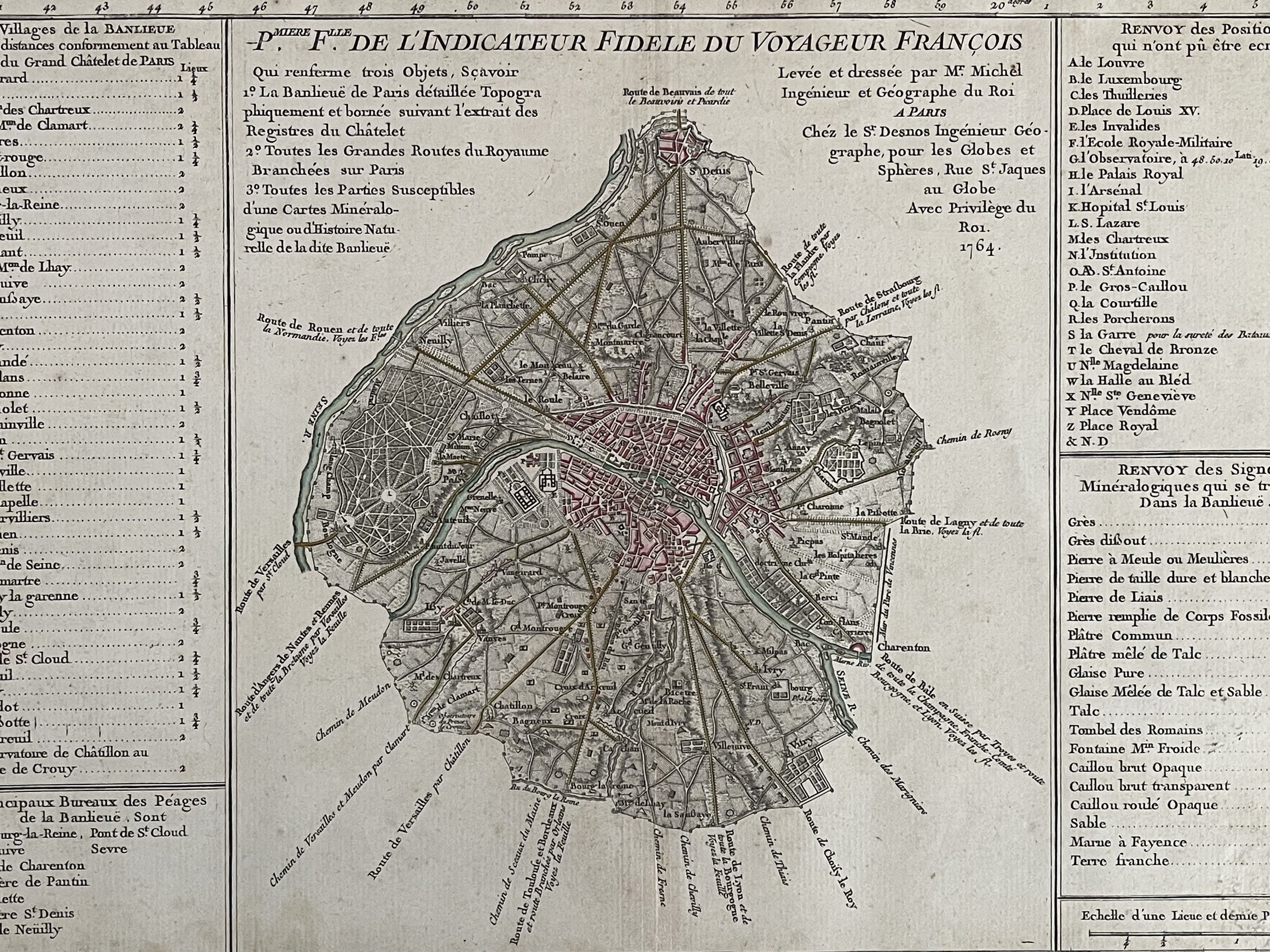 Image 1 of 13
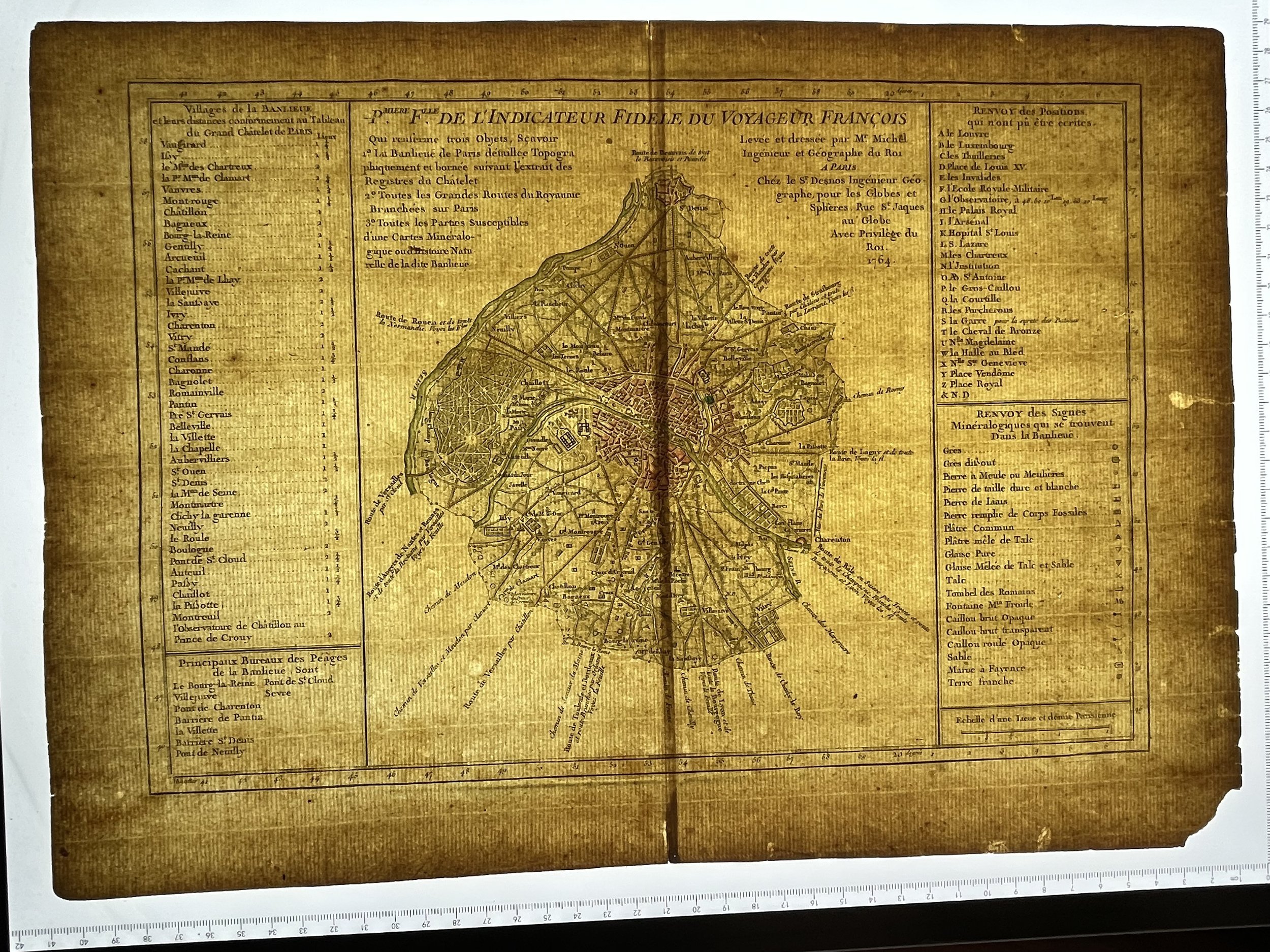 Image 2 of 13
 Image 3 of 13
 Image 4 of 13
 Image 5 of 13
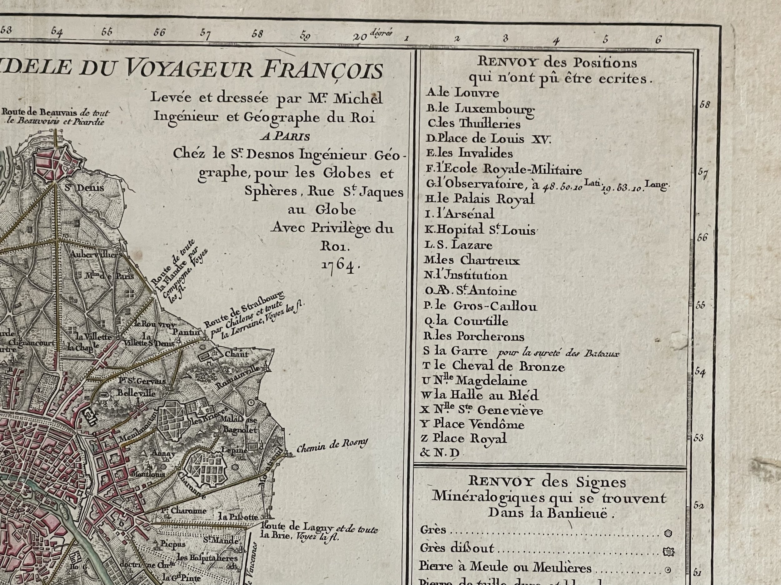 Image 6 of 13
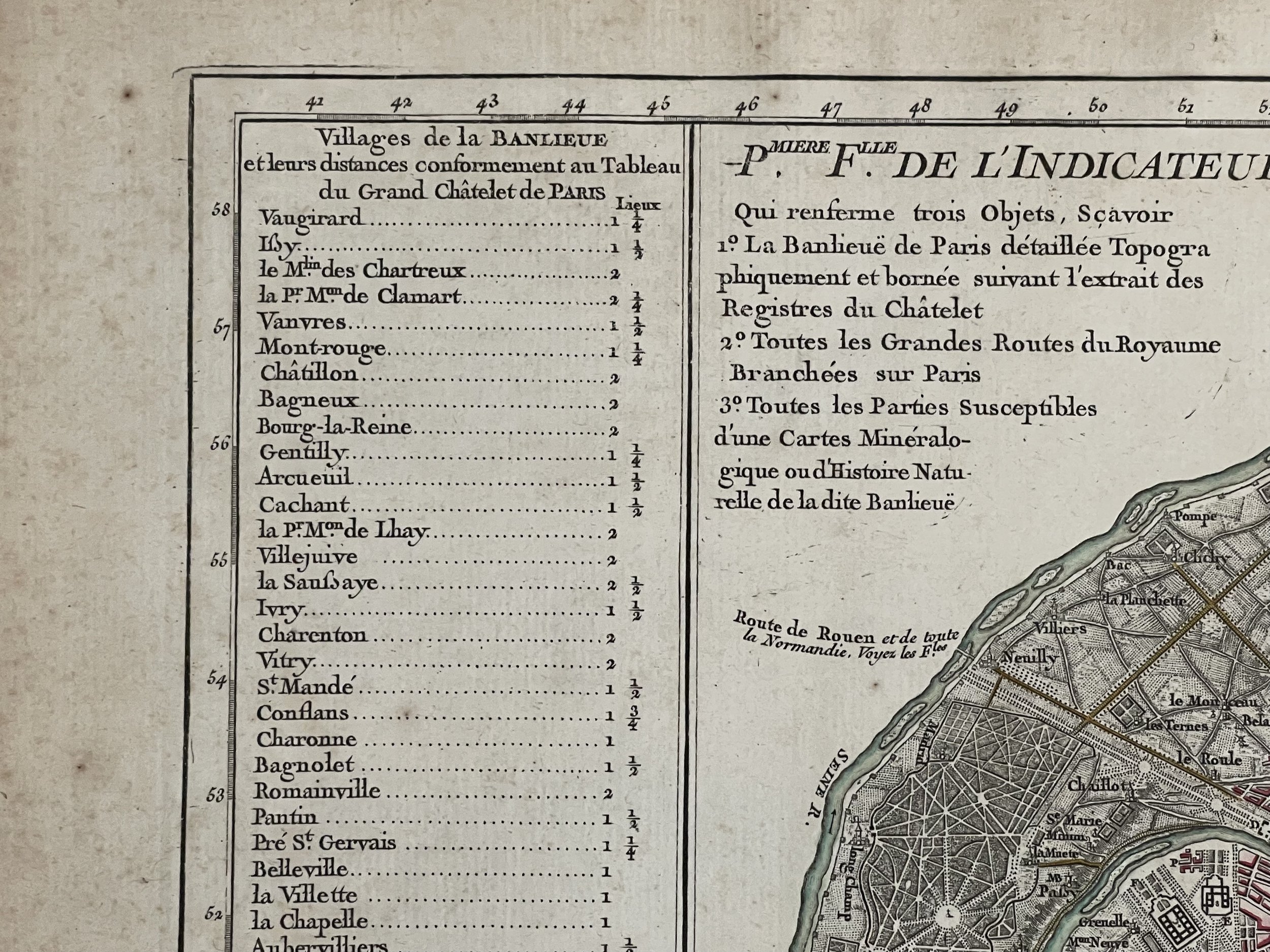 Image 7 of 13
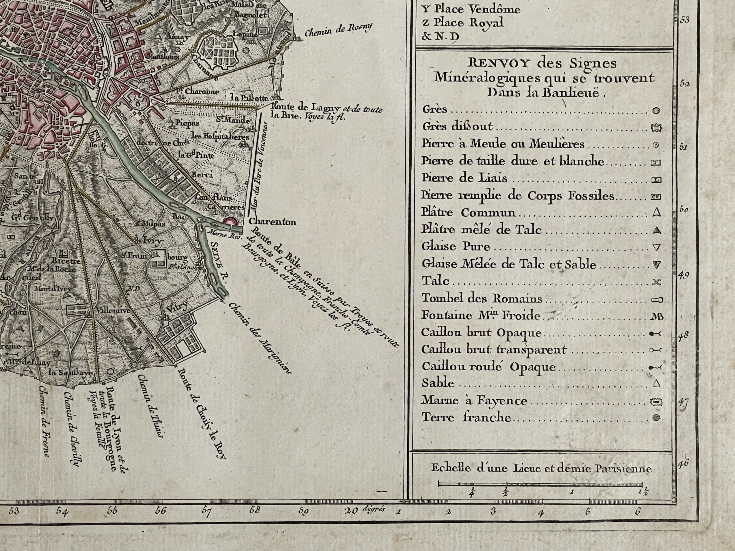 Image 8 of 13
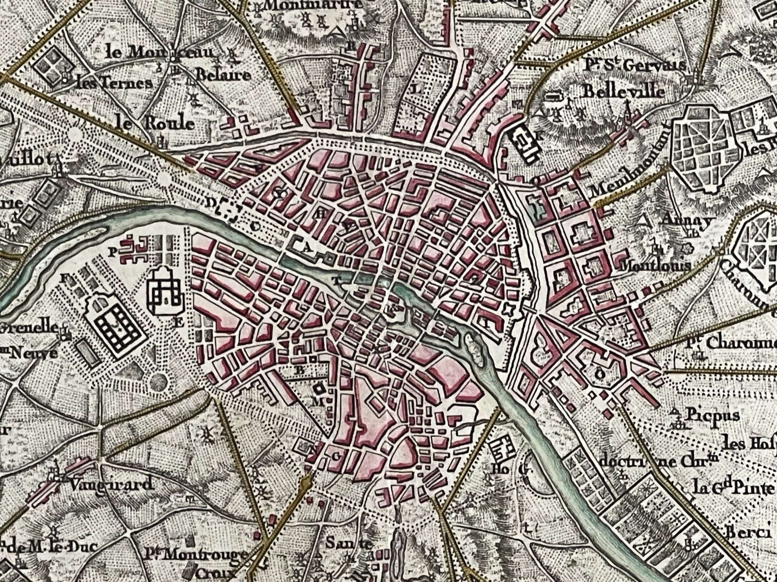 Image 9 of 13
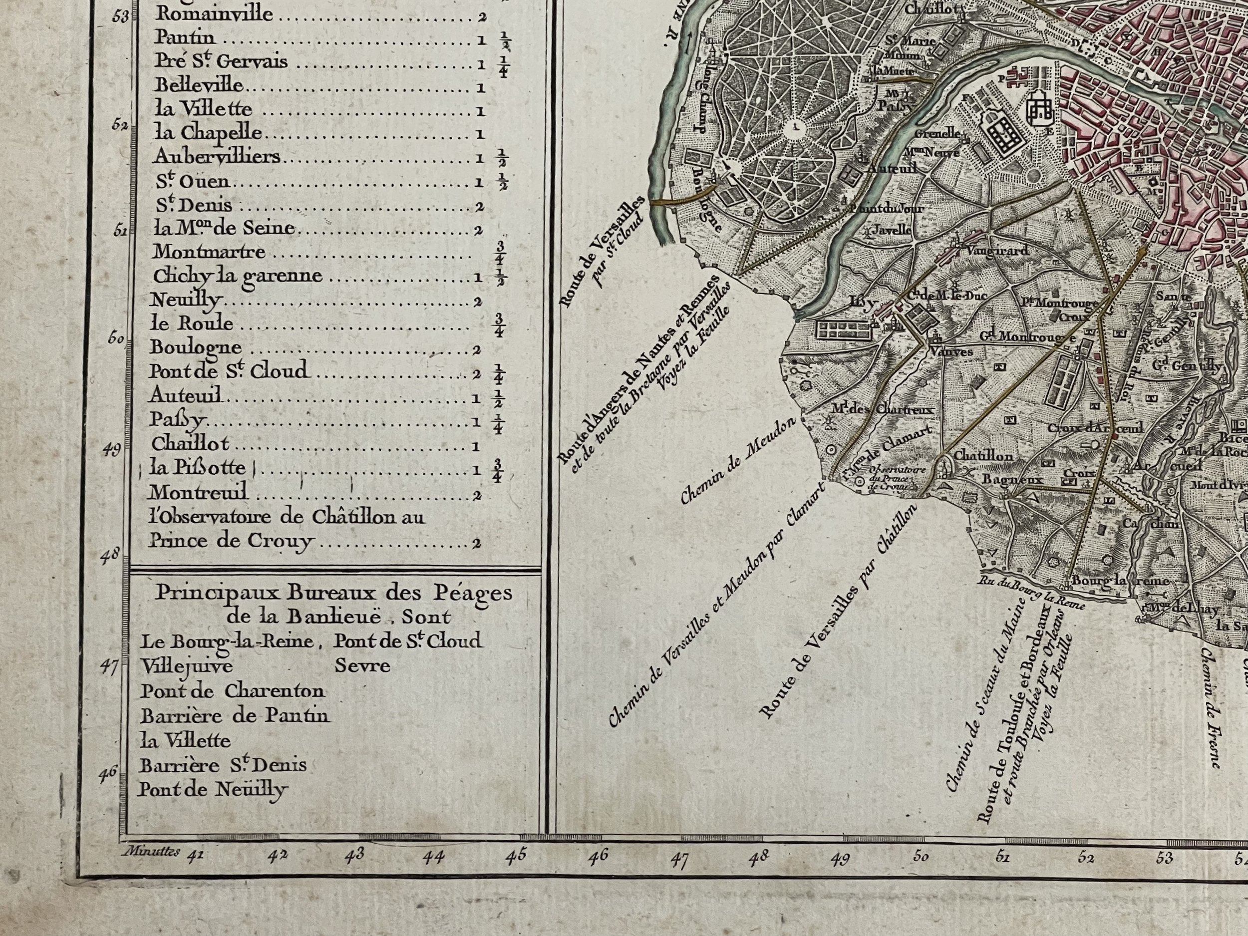 Image 10 of 13
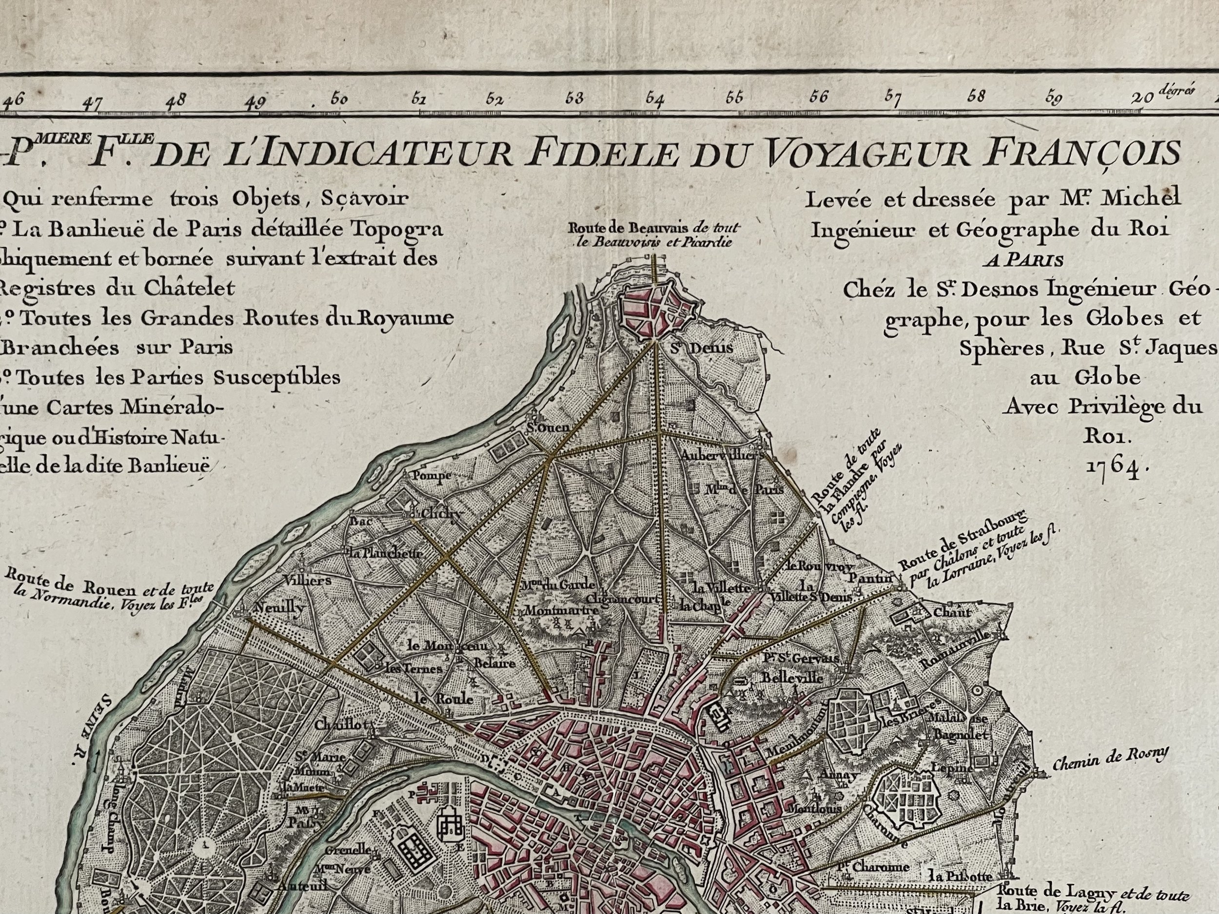 Image 11 of 13
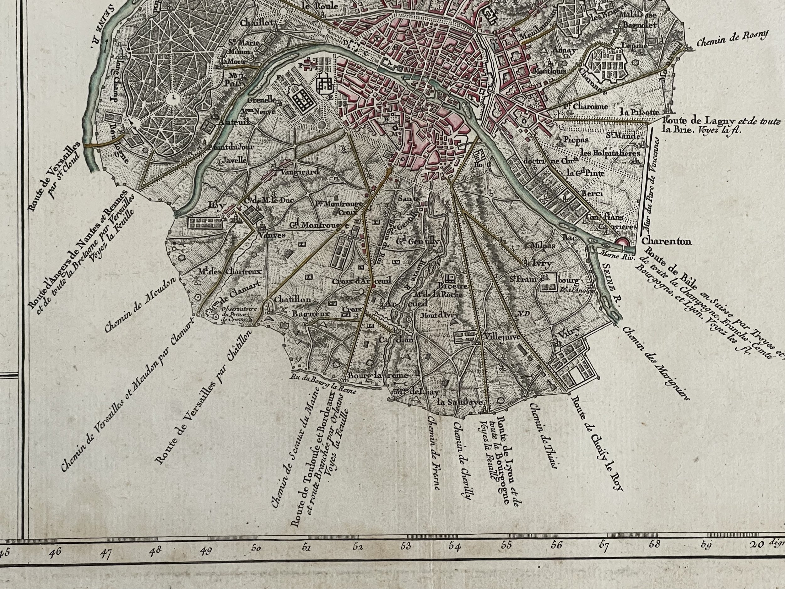 Image 12 of 13
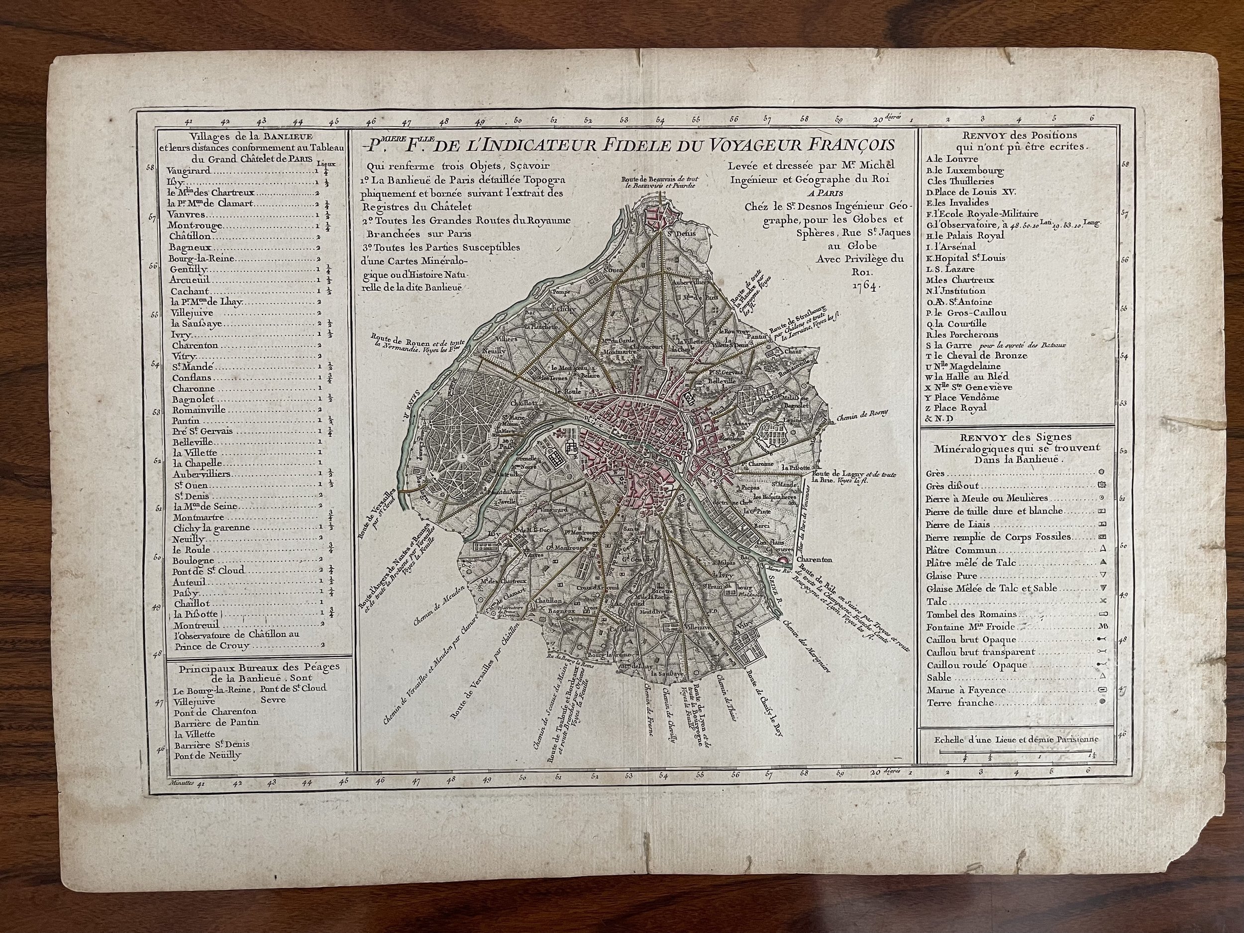 Image 13 of 13