Hessian backed Post Map of Europe comprehending England, France, Germany, Italy &c. With the Posts. Distances, Roads, Railways, Packet Routes, &c. James Wyld [London]. Slipcase is missing. A few scuffs, no splits and map has the marketing label intact, otherwise in very good condition for its age. Pricing and grading commensurate.
A beautiful, large, folding map of Western Europe publishing during the mid-19th century. Geographically, the map covers England and Wales, France, Germany, the Netherlands, Belgium, Luxembourg, Switzerland, Austria, northern Italy (to Florence) and extending to show parts of Denmark, Hungary, Poland, Slovenia, Czechia and Croatia.
The map is particularly interesting for its early depiction of the developing European Railway network. Major roads and railway routes used for the postal routes are clearly marked and between each route a number to indication the distance between each town or city in miles. In the explanation found in the lower left of the map, a small handy table of conversions for international measurements is offered, as well as a key to the iconography used to highlight settlements, postal stations, and to indicate routes that are proposed, under construction and completed.
The cartographer James Wyld has signed himself as the “Geographer to the Queen Victoria and HRH Prince Albert”.
James Wyld Sr. (1790-1836) was a British cartographer and one of Europe’s leading mapmakers. He made many contributions to cartography, including the introduction of lithography into map printing in 1812.
William Faden, another celebrated cartographer, passed down his mapmaking business to Wyld in 1823. The quality and quantity of Faden’s maps, combined with Wyld’s considerable skill, brought Wyld great prestige.
Wyld was named geographer to Kings George IV and William IV, as well as HRH the Duke of York. In 1825, he was elected an Associate of the Institution of Civil Engineers. He was one of the founding members of the Royal Geographical Society in 1830. Also in 1830, his son, James Wyld Jr., took over his publishing house. Wyld Sr. died of overwork on October 14, 1836.
James Wyld Jr. (1812-87) was a renowned cartographer in his own right and he successfully carried on his father’s business. He gained the title of Geographer to the Queen and H.R.H. Prince Albert. Punch (1850) described him in humorous cartographic terms, “If Mr. Wyld’s brain should be ever discovered (we will be bound he has a Map of it inside his hat), we should like to have a peep at it, for we have a suspicion that the two hemispheres must be printed, varnished, and glazed, exactly like a pair of globes.”
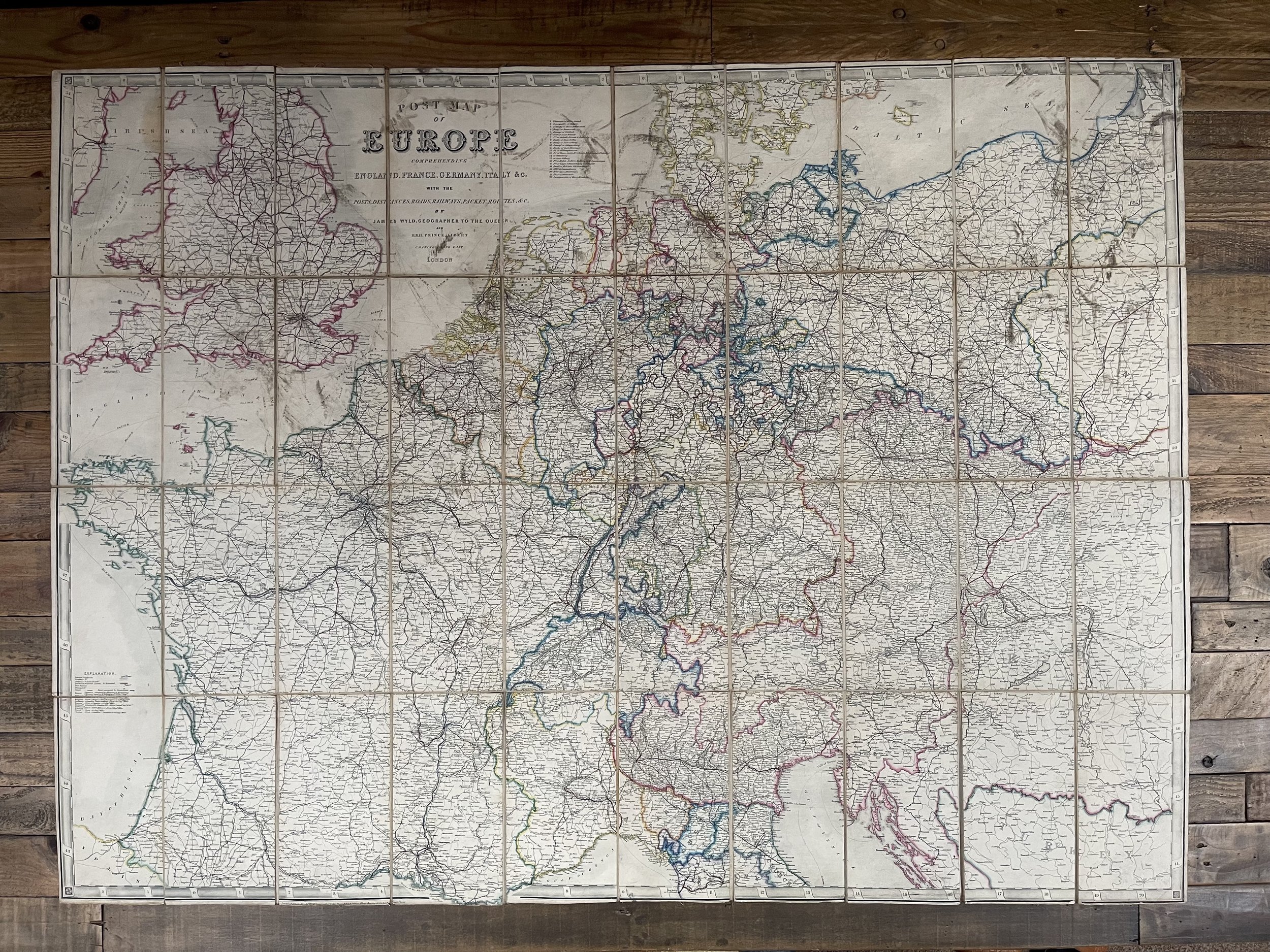 Image 1 of 16
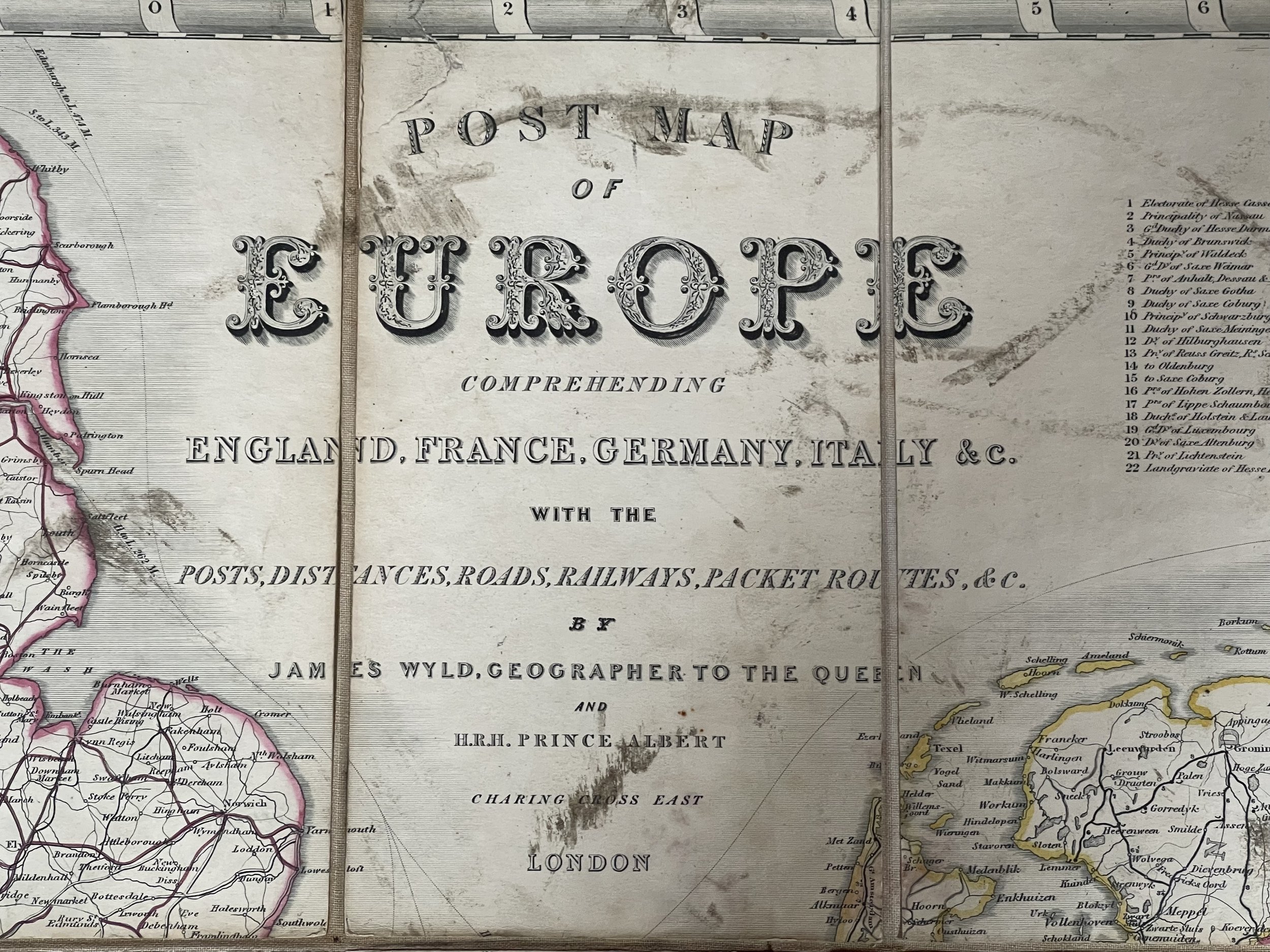 Image 2 of 16
 Image 3 of 16
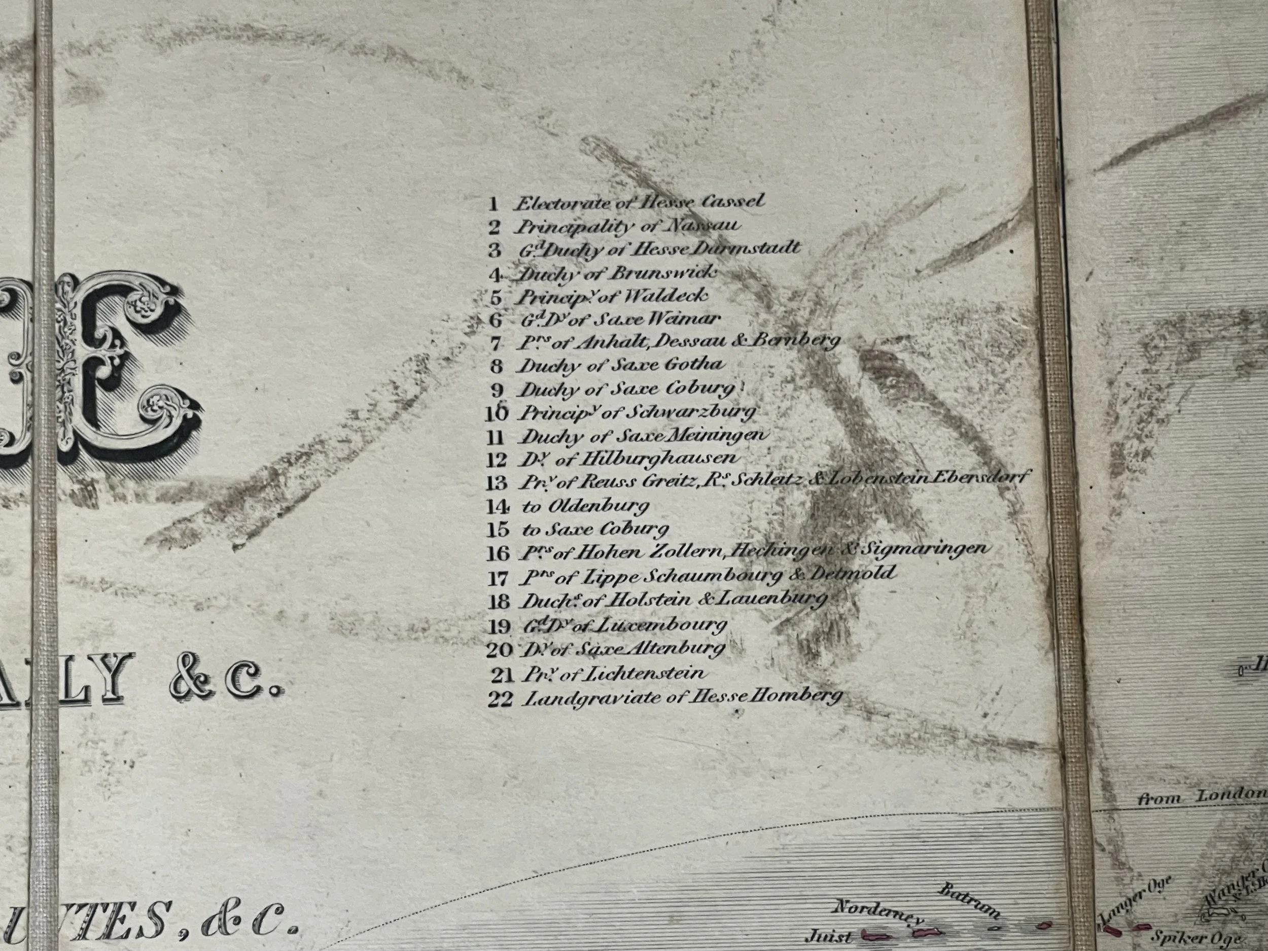 Image 4 of 16
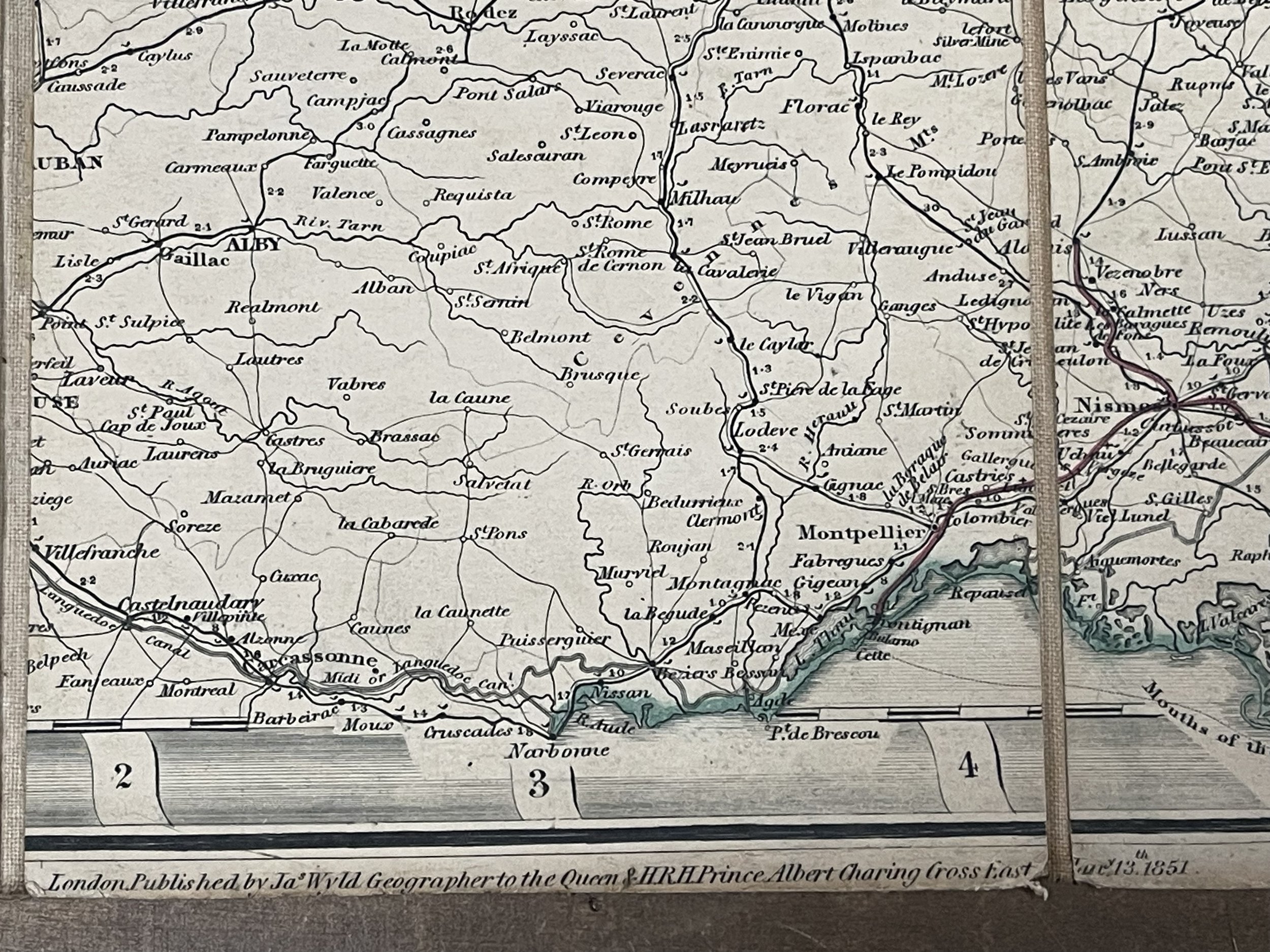 Image 5 of 16
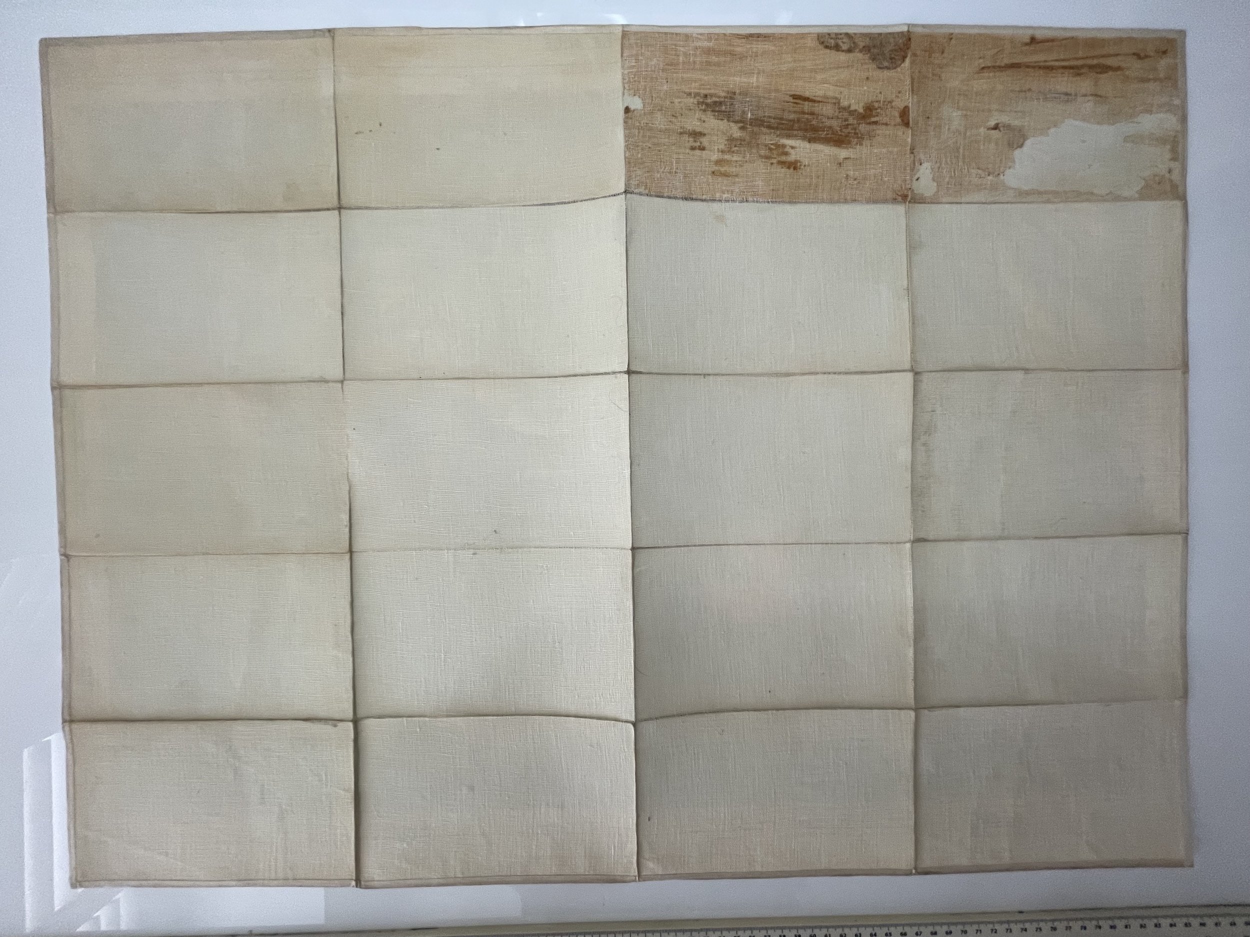 Image 6 of 16
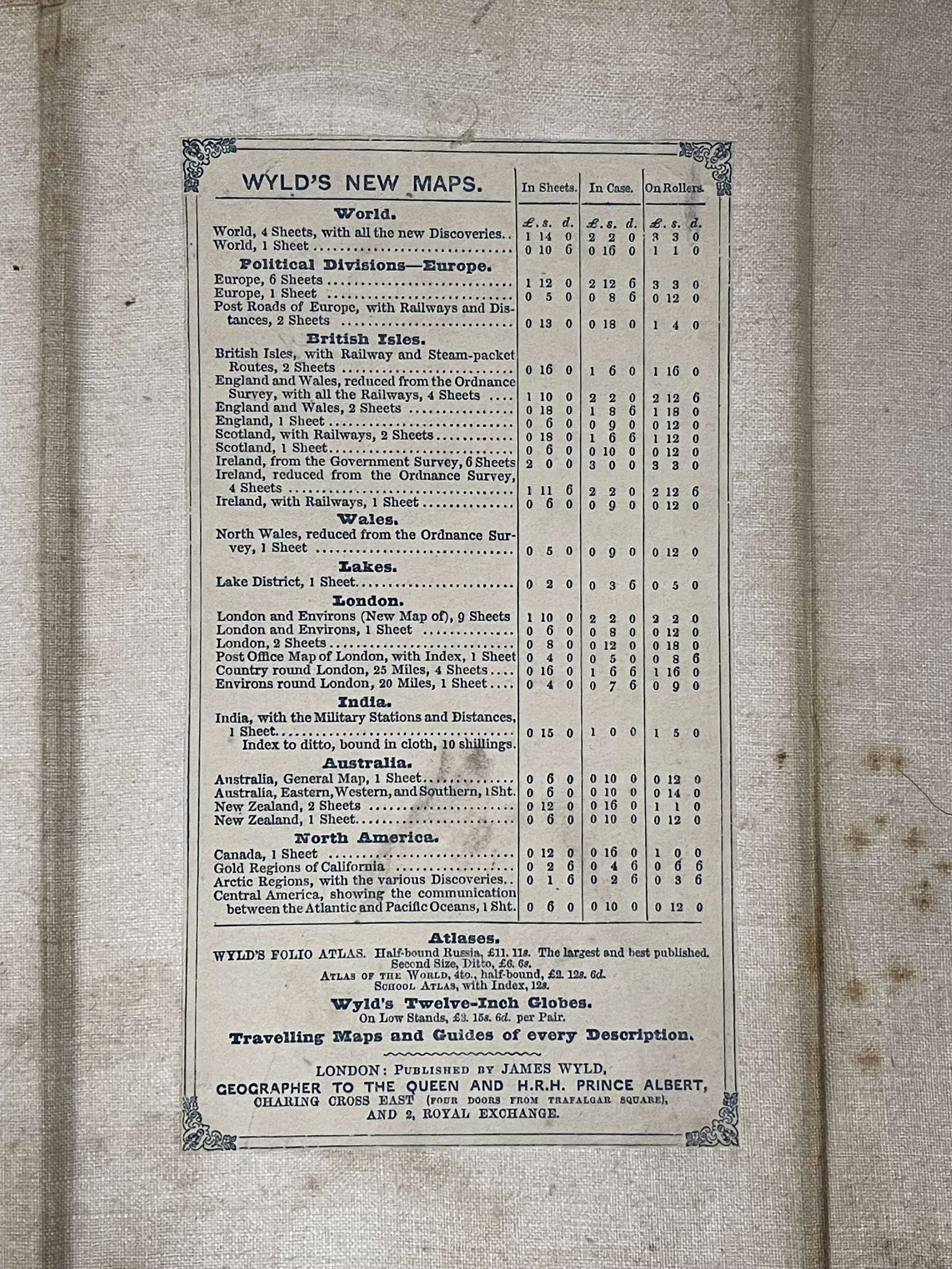 Image 7 of 16
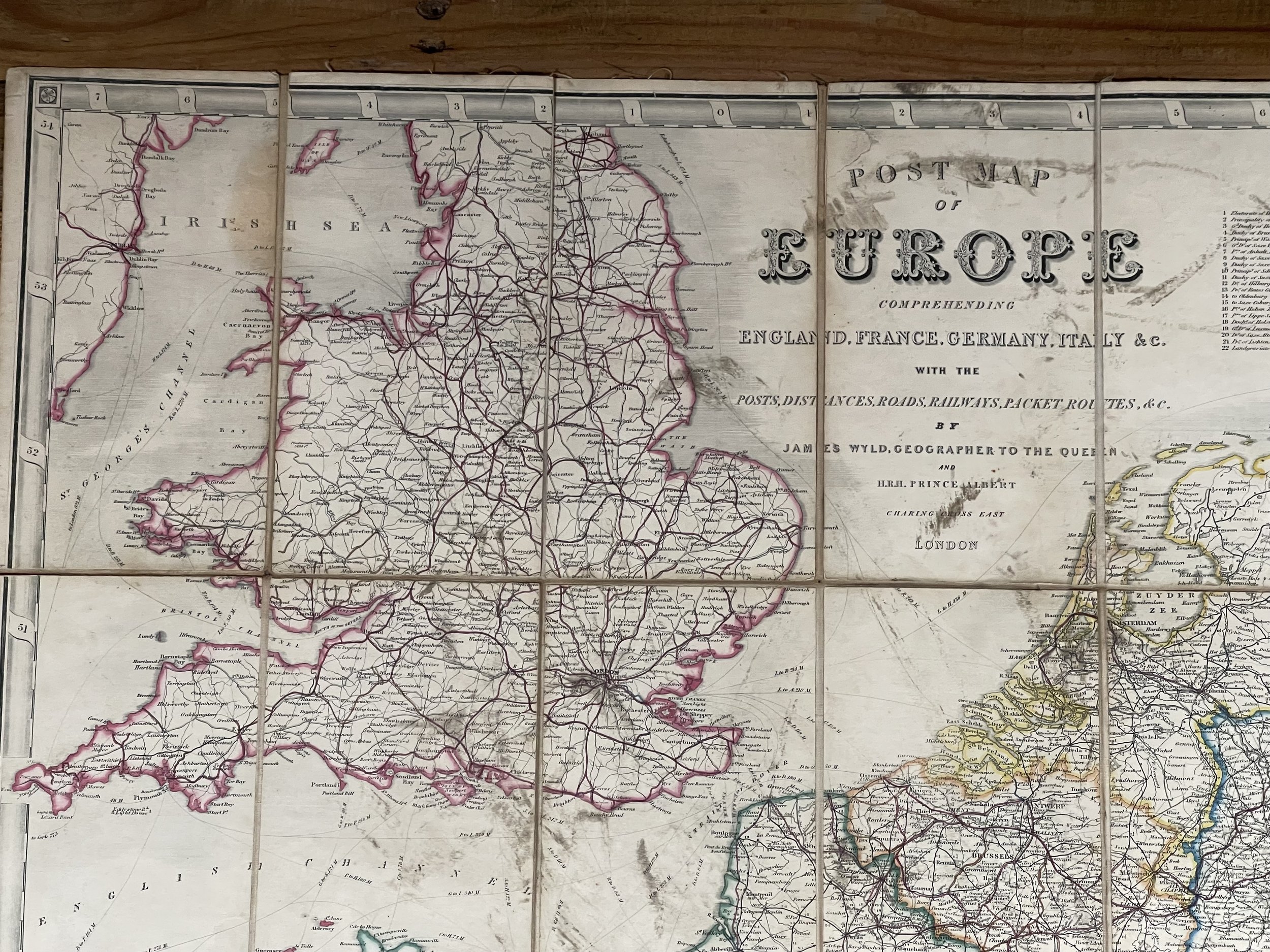 Image 8 of 16
 Image 9 of 16
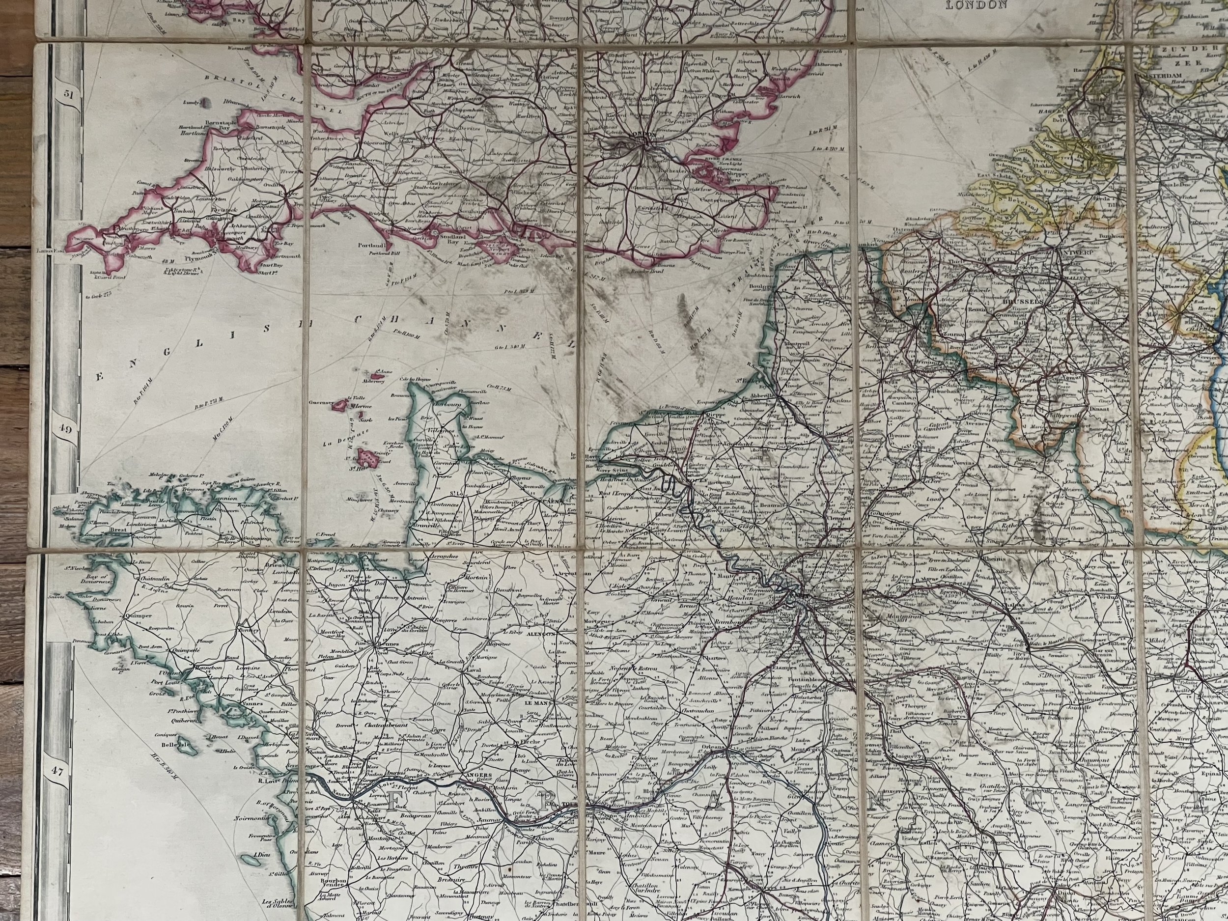 Image 10 of 16
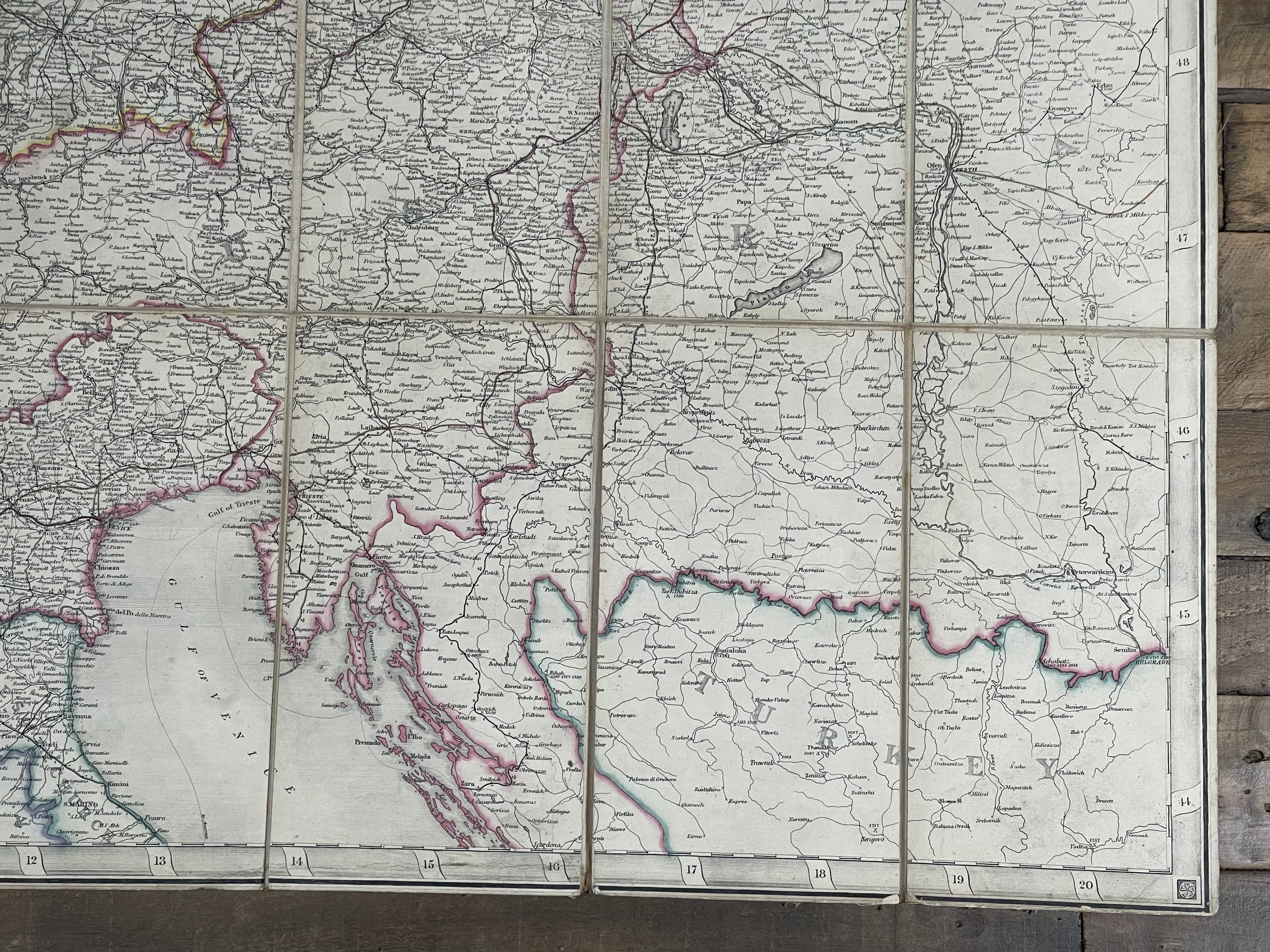 Image 11 of 16
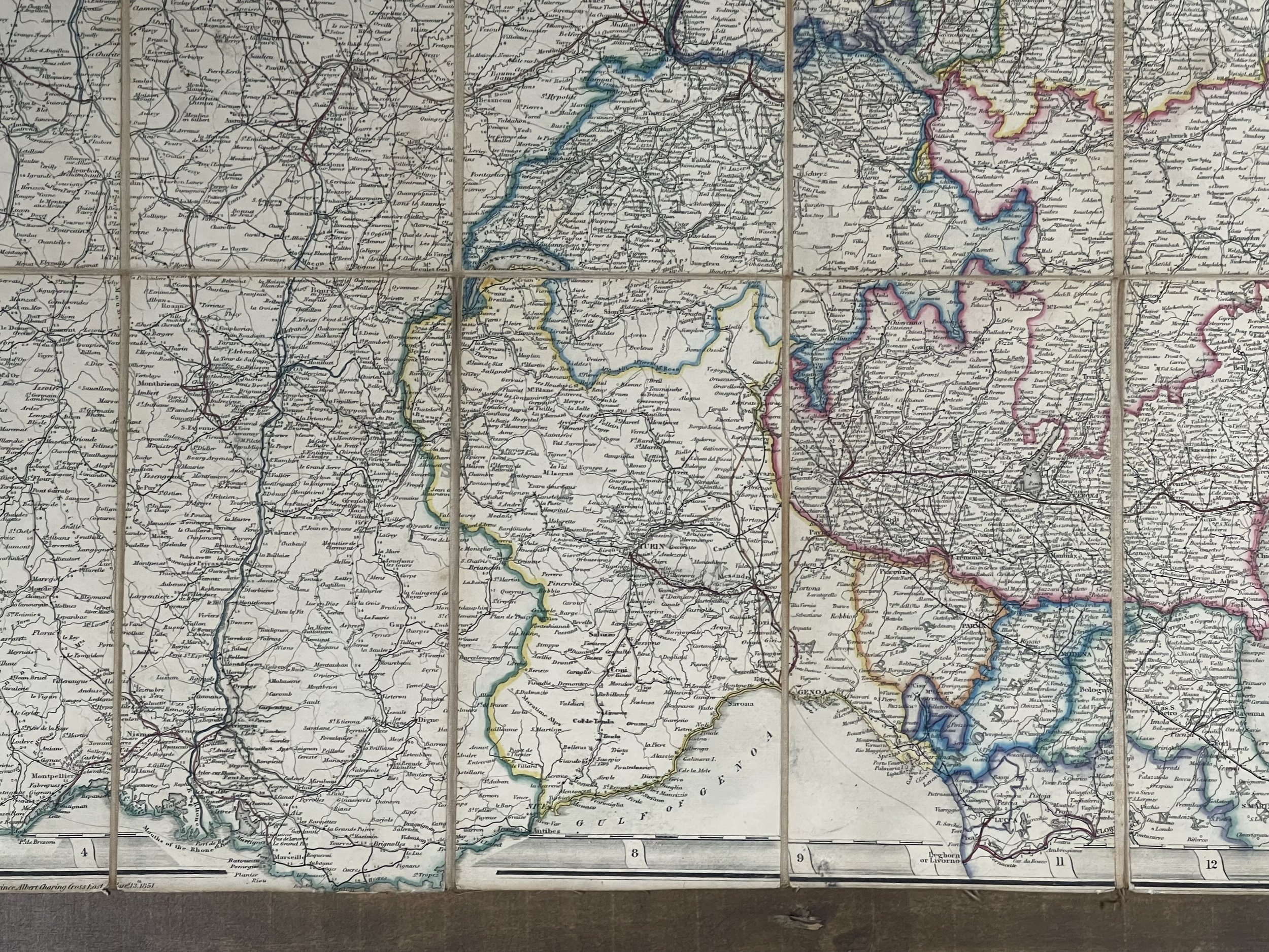 Image 12 of 16
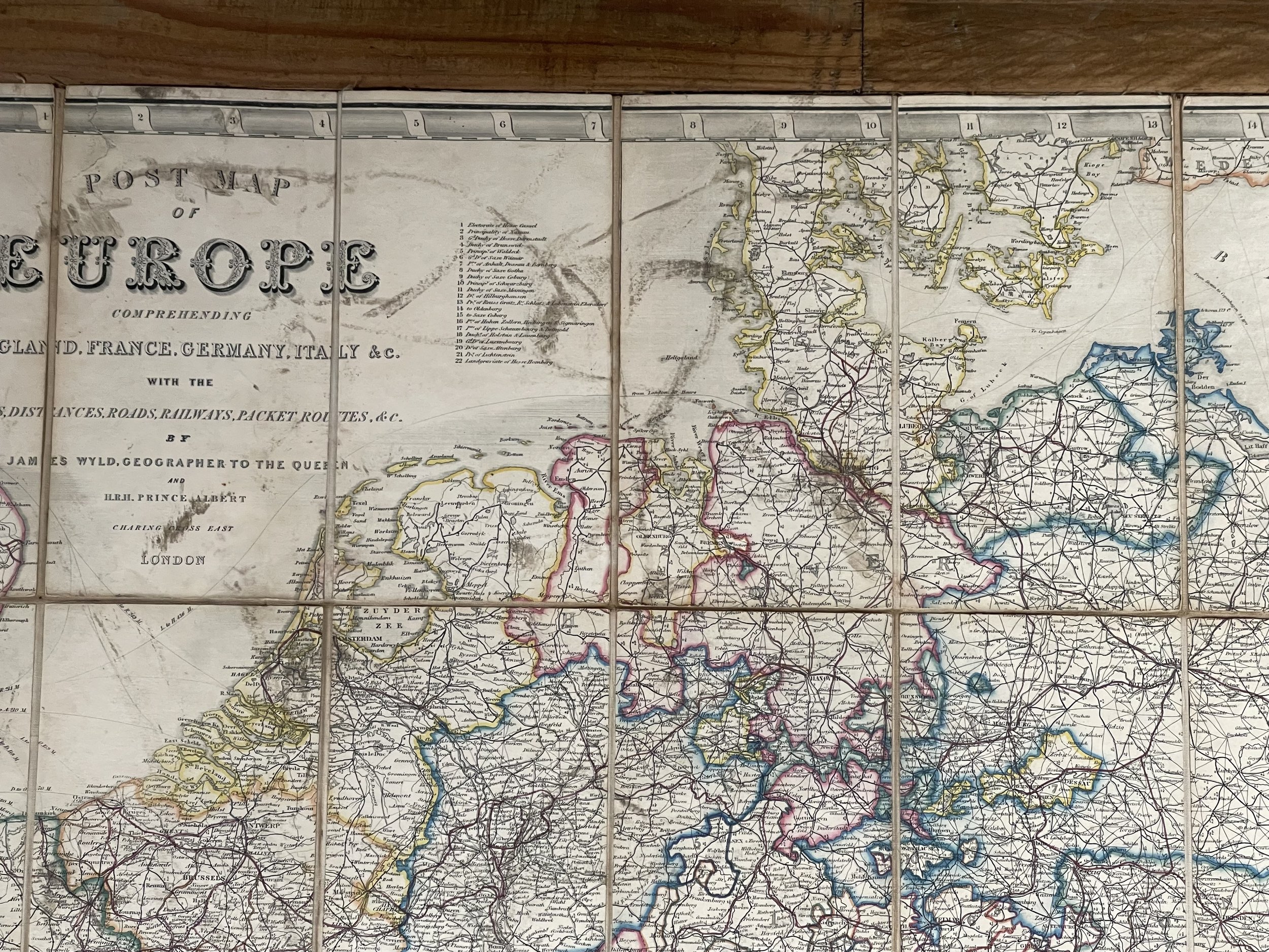 Image 13 of 16
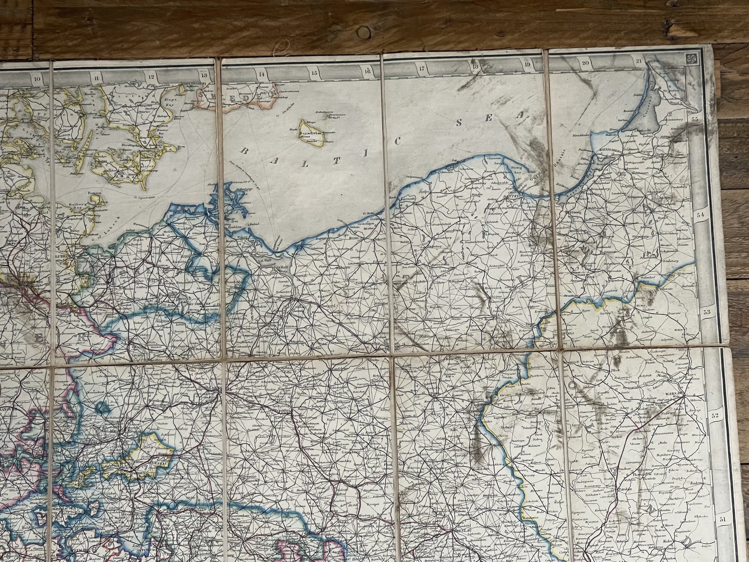 Image 14 of 16
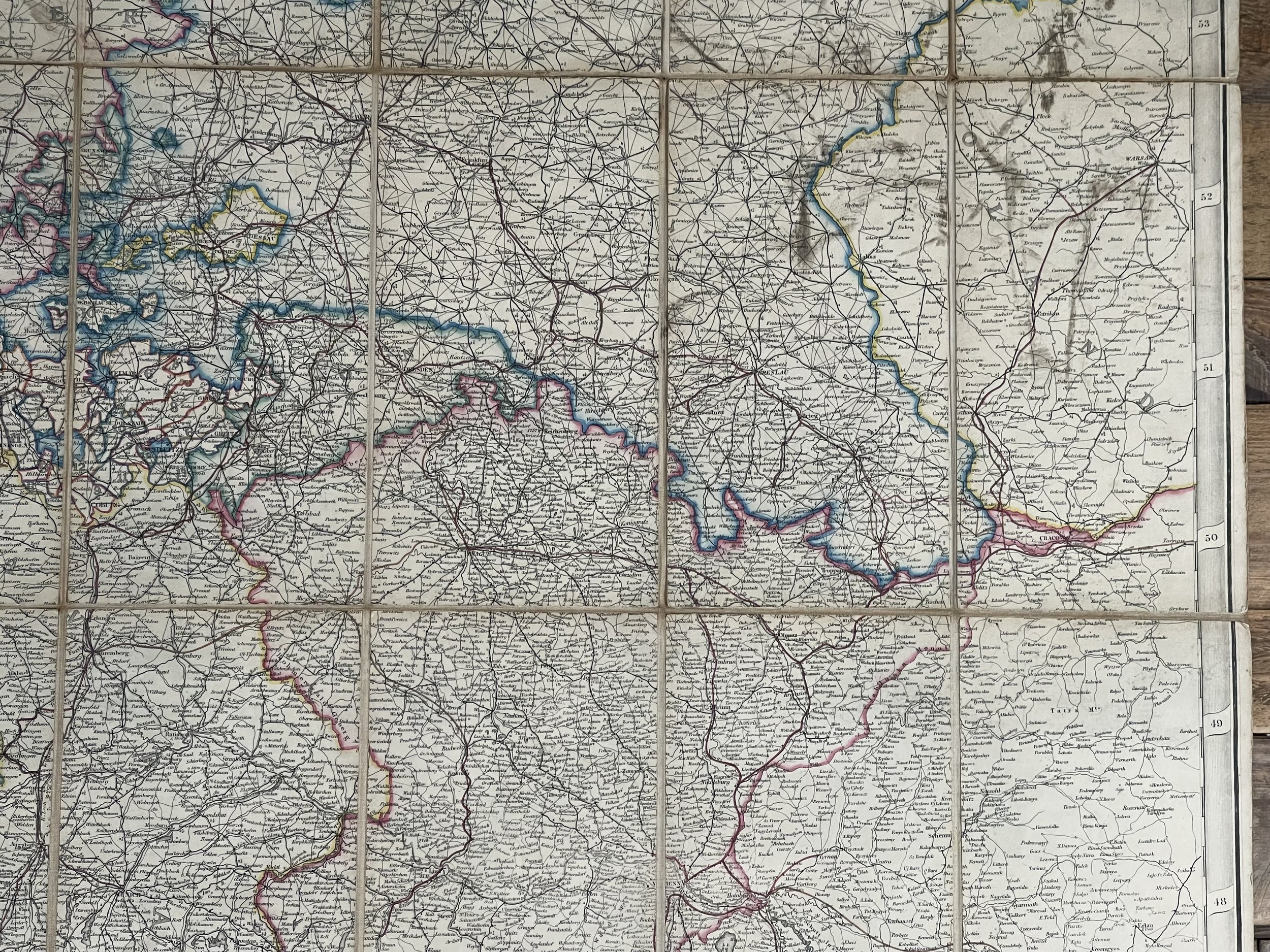 Image 15 of 16
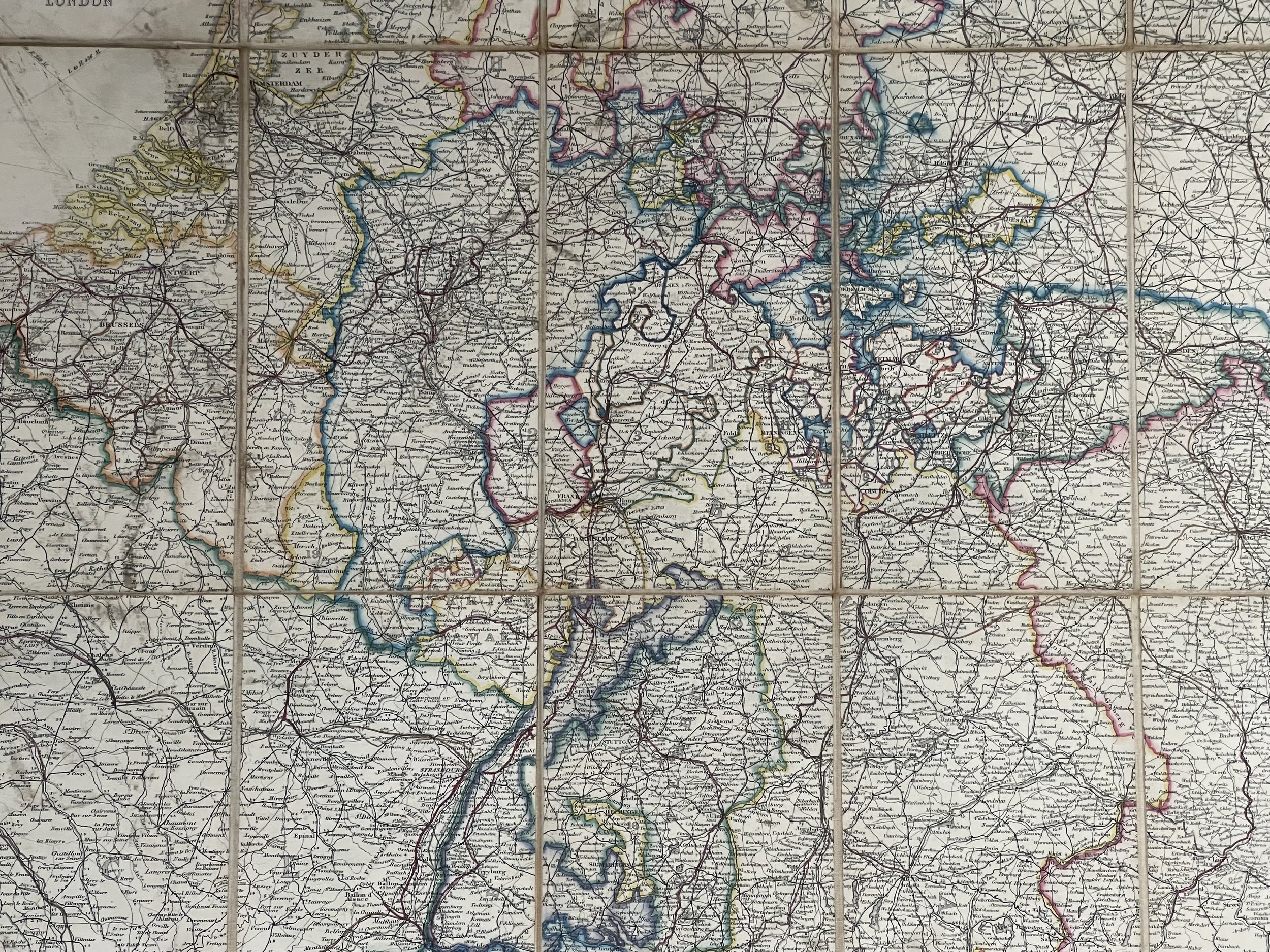 Image 16 of 16