https://www.peninsulapmg.com/foo.html     2022-06-04  
Skip to Content
Peninsula Maps & Globes
Home
Shop
About
Contact
English
0
0
Peninsula Maps & Globes
Home
Shop
About
Contact
English
0
0
Home
Shop
About
Contact
English
Back
Peninsula Shop London Westminster and Southwark - Gabriel Bodenehr - 1720 - (Exceptional condition)
IMG_7721.jpeg Image 1 of 11
IMG_7721.jpeg
IMG_7728.jpeg Image 2 of 11
IMG_7728.jpeg
IMG_7725.jpeg Image 3 of 11
IMG_7725.jpeg
IMG_7723.jpeg Image 4 of 11
IMG_7723.jpeg
IMG_7731.jpeg Image 5 of 11
IMG_7731.jpeg
IMG_7730.jpeg Image 6 of 11
IMG_7730.jpeg
IMG_7726.jpeg Image 7 of 11
IMG_7726.jpeg
IMG_7729.jpeg Image 8 of 11
IMG_7729.jpeg
IMG_7722.jpeg Image 9 of 11
IMG_7722.jpeg
IMG_7724.jpeg Image 10 of 11
IMG_7724.jpeg
IMG_7727.jpeg Image 11 of 11
IMG_7727.jpeg
IMG_7721.jpeg
IMG_7728.jpeg
IMG_7725.jpeg
IMG_7723.jpeg
IMG_7731.jpeg
IMG_7730.jpeg
IMG_7726.jpeg
IMG_7729.jpeg
IMG_7722.jpeg
IMG_7724.jpeg
IMG_7727.jpeg

London Westminster and Southwark - Gabriel Bodenehr - 1720 - (Exceptional condition)

£1,100.00

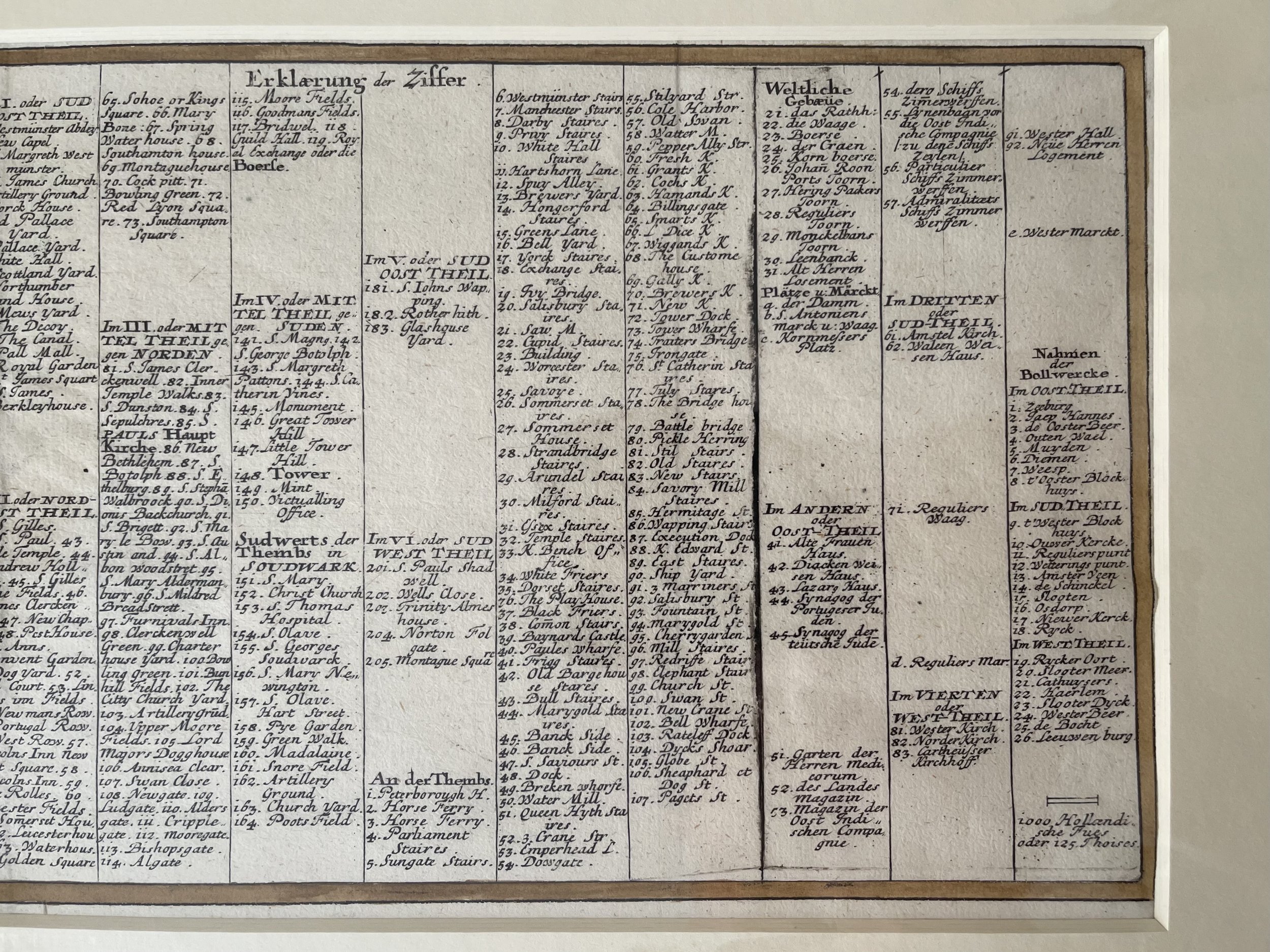
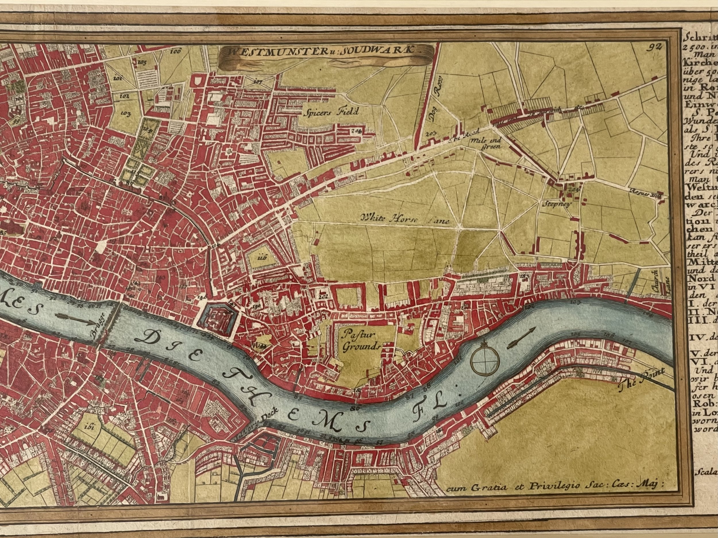
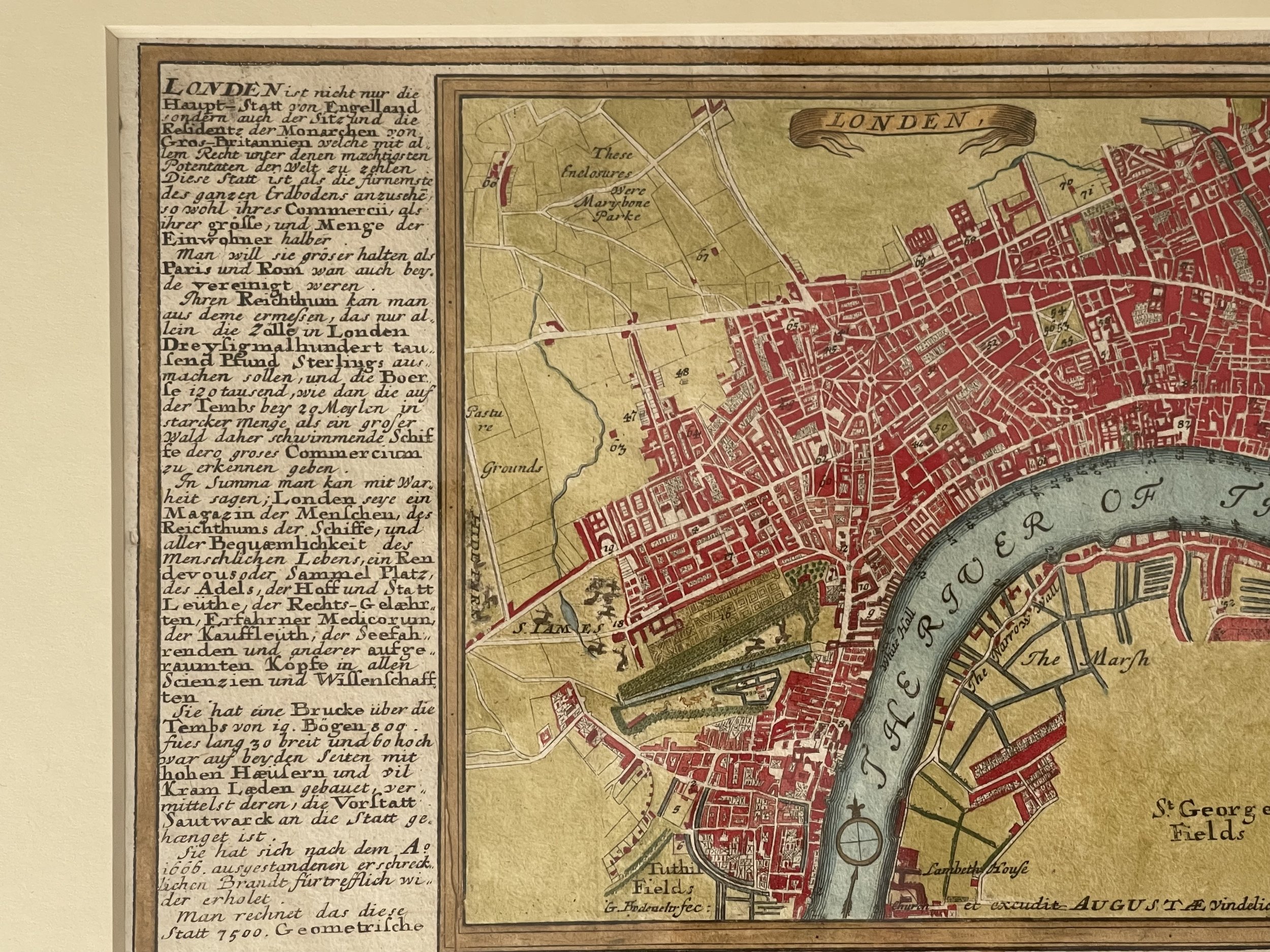
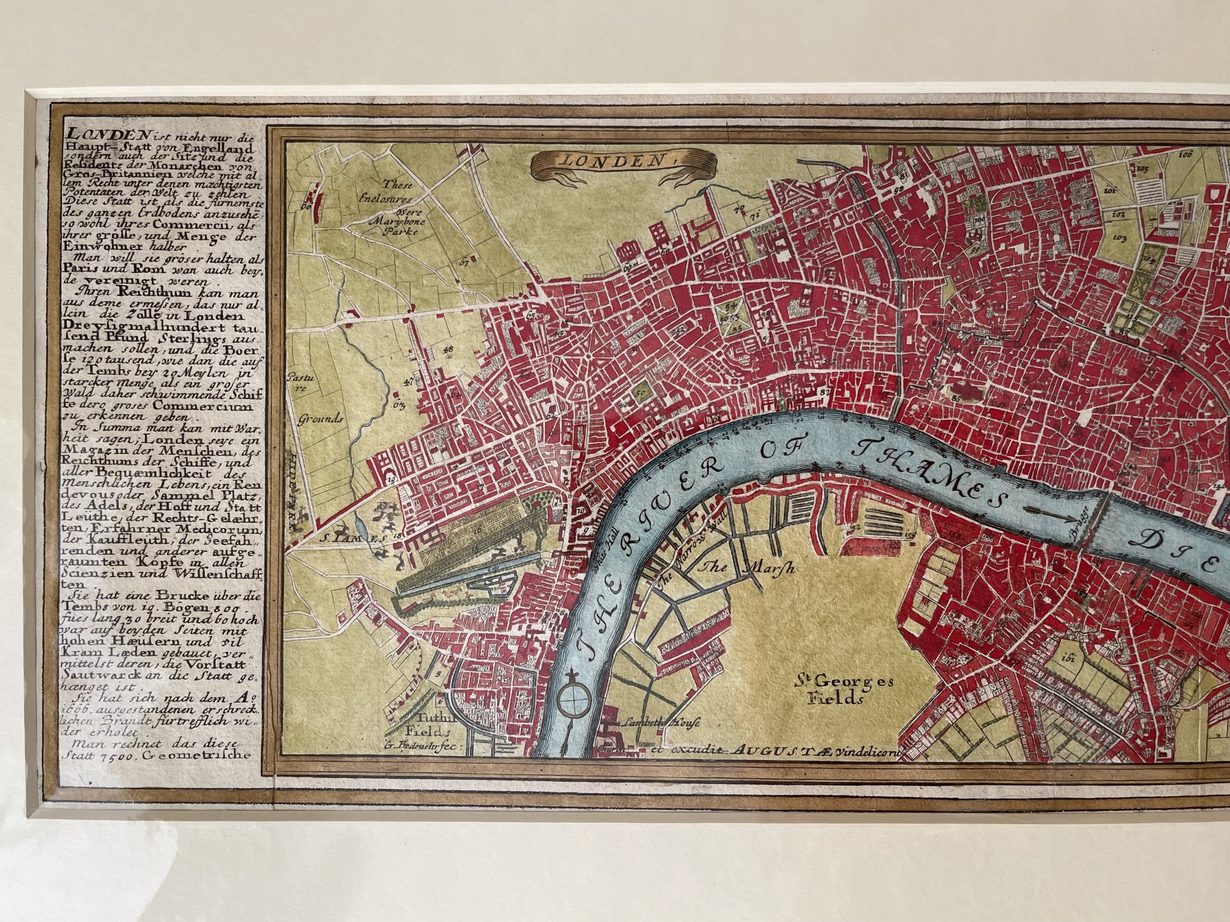
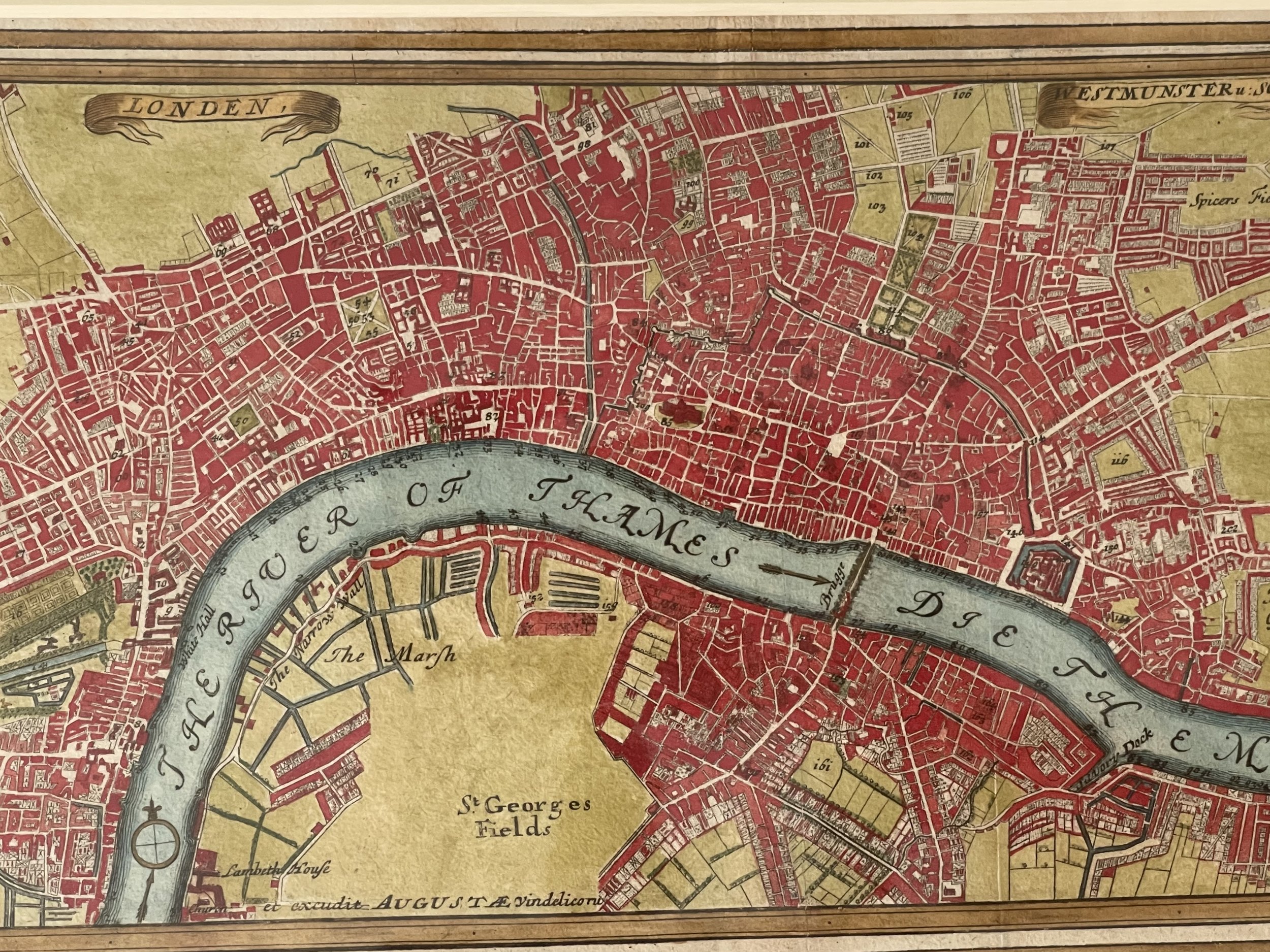
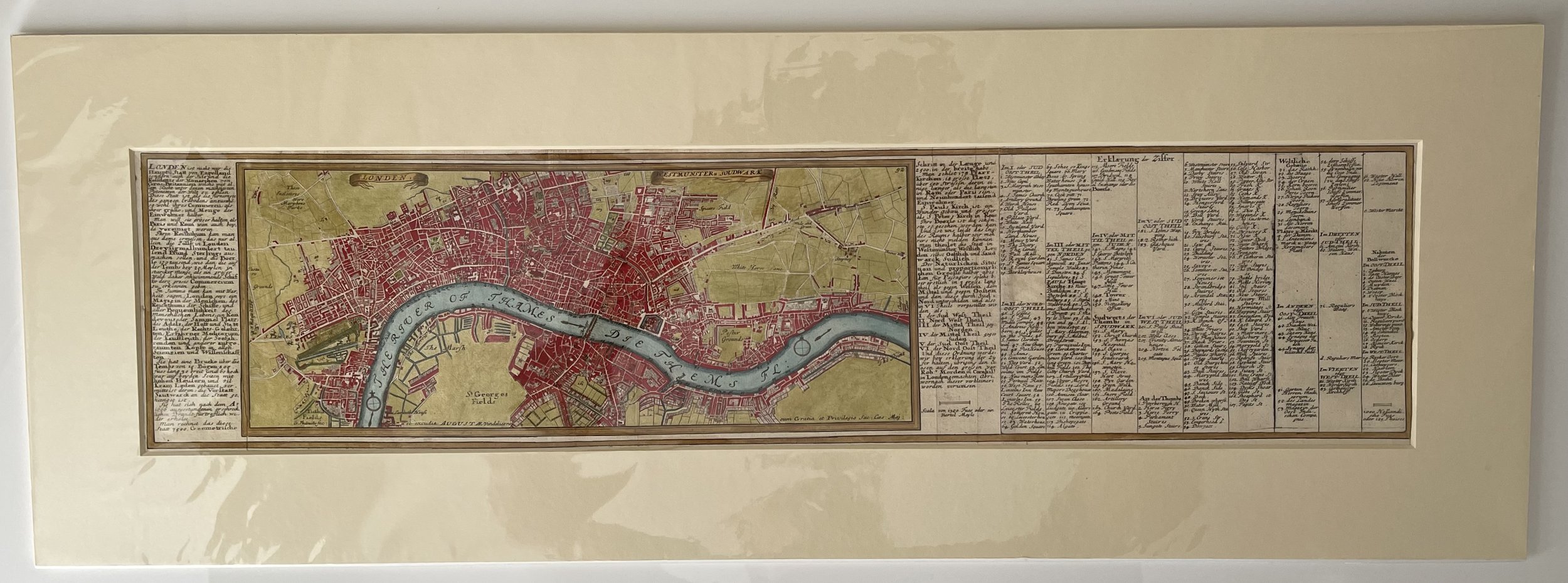
Very rare elegant early map showing London, Westminster and Southwark. Extensive references to streets and places of interest. Coloured.

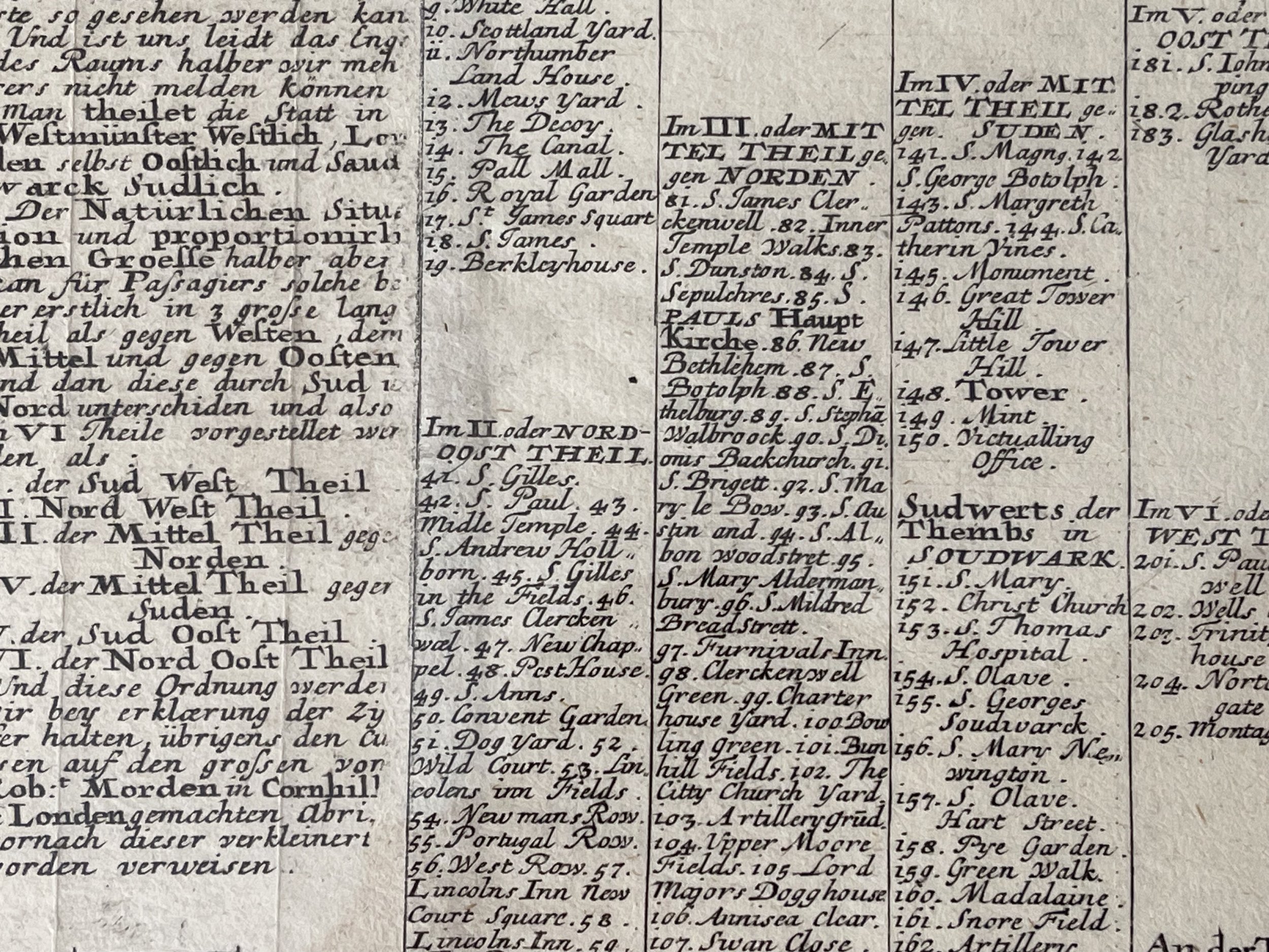
Bodenehr, G. ‘LONDEN, WESTMUNSTER U: SOUDWARK’. Plan of London with two title banners in the sky and table of explanations in German to both sides. Extent: Shoreditch, Stepney, Newington, Hyde Park. Published in ‘Force d’Europe...’ by Gabriel Bodenehr in Augsburg ca. 1725 [28525] 16 x 39 cm (16 x 48 incl. side tables of explanations). Recent hand colour.

Superior condition for its 304 year age.

Gabriel Bodenehr (1673-1765)

Engraver and mapmaker of Augsburg, from a family dynasty of engravers and publishers. Son of Johann Georg Bodenehr (1631-1704), father of Gabriel II and brother of Georg Conrad. In 1717 the family took over the Augsburg publishing house of Stridbeck. His works include Atlas Curieux (1704) and Curioser Staats- und Kriegs- Theatrum (1716).

Pricing reflects the current market and the maps exceptional condition and rarity. Find another one in this condition!

Add To Cart

Very rare elegant early map showing London, Westminster and Southwark. Extensive references to streets and places of interest. Coloured.

Bodenehr, G. ‘LONDEN, WESTMUNSTER U: SOUDWARK’. Plan of London with two title banners in the sky and table of explanations in German to both sides. Extent: Shoreditch, Stepney, Newington, Hyde Park. Published in ‘Force d’Europe...’ by Gabriel Bodenehr in Augsburg ca. 1725 [28525] 16 x 39 cm (16 x 48 incl. side tables of explanations). Recent hand colour.

Superior condition for its 304 year age.

Gabriel Bodenehr (1673-1765)

Engraver and mapmaker of Augsburg, from a family dynasty of engravers and publishers. Son of Johann Georg Bodenehr (1631-1704), father of Gabriel II and brother of Georg Conrad. In 1717 the family took over the Augsburg publishing house of Stridbeck. His works include Atlas Curieux (1704) and Curioser Staats- und Kriegs- Theatrum (1716).

Pricing reflects the current market and the maps exceptional condition and rarity. Find another one in this condition!

Code : A391

Cartographer : Cartographer / Engraver / Publisher: Gabriel Bodenehr

Date : Publication Place / Date - Circa 1720

Size : Sheet size: Image Size:   16 x 39 cm 

Availability : Available

Type - Genuine - Antique

Grading A+

Where Applicable - Folds as issued. Light box photo shows the folio leaf centre margin hinge ‘glue’, this is not visible otherwise.

Tracked postage, in casement. Please contact me for postal quotation outside of the UK. 
Peninsula Maps & Globes - London England

Made with Squarespace

Contact: pmgmapsandglobes01@gmail.com