Edward S. Mogg (fl.1803-1860) was a cartographer, engraver, and publisher, active in London at the beginning of the nineteenth century. Rather unusually for the time he not only drew his own maps, but also engraved them. The business was mainly based upon the production of pocket travel guides and maps.
He was an English cartographer and engraver active in London during the first half of the 19th century. Unlike many cartographers of the period, Mogg personally engraved all his own maps in a fine detail-oriented hand. Mogg built his business on the production of guides, railway maps, and other publications focused on tourists and travellers in London. Mogg seems to have had a passion for defending the tourist against the depredations of dishonest taxicab drivers and was the first to introduce the innovative "Cab Fare Map and Guide". Mogg also published the 1822 edition of Paterson's Roads of England and Wales and a fascinating celestial sphere for school.
Brothers Edward & William Mogg sought to organise the chaos of London transportation in the middle of the 19th century. The city’s explosive growth resulting from the Industrial Revolution propelled it to the largest in the world by 1825, and a web of transportation systems popped up to facilitate the expansion. The Mogg’s created several travel guides and handy maps in the 1840’s, 50’s and 60’s to aid the overwhelmed traveller.
A neatly numbered grid is superimposed over the myriads of streets, rails, and docks; allowing for easy reference in the attached index. In addition to a list of streets and locations of interest, the index also contains a list of rail stations and cab stands (of the horse drawn variety), along with the legally defined rates of the latter. One can imagine the constant updates necessary to keep the map’s relevancy, and as a cost saving measure the Mogg brothers would issue updated sections to be pasted down over the originally issued sheet. This example shows several such revisions.
Navy blue boards encasing a canvas backed folding map. Gilt lettering and design.
Hinge between boards is completely split, but intact otherwise. Fold out map has a few tears along crease lines, including one through the title. Otherwise, the map is largely clear, little marked or faded. The thin paper of the street index is well preserved, with just a little creasing and tattiness at edges.
A fold out coloured street map of London stretching from Hampstead in the north to Brixton, and Shepherds Bush to Poplar. Believed to be hand coloured, on canvas backed paper. Approx. 85 x 60cm unfolded. Inside the front cover is a 33-page index to the streets, squares and cab stands of London, and a cab fare guide. The map has an intentional fold out extension piece to the bottom left corner that reveals Putney accross the River Thames; an additional portion of the city limits.
Grading and price commensurate. Uncommon and attractive map by Mogg in very good condition apart from the displaced backboards.
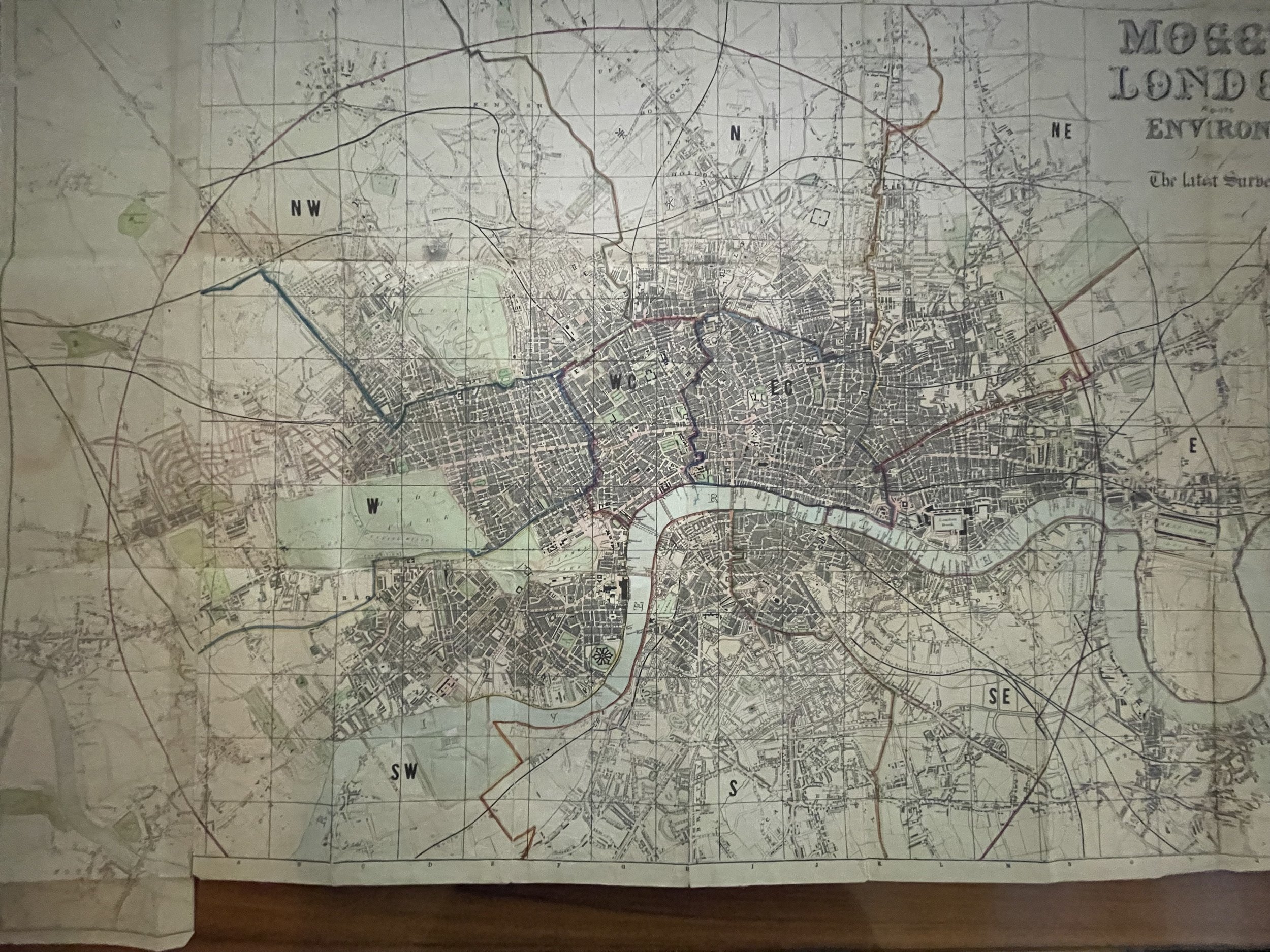 Image 1 of 18
 Image 2 of 18
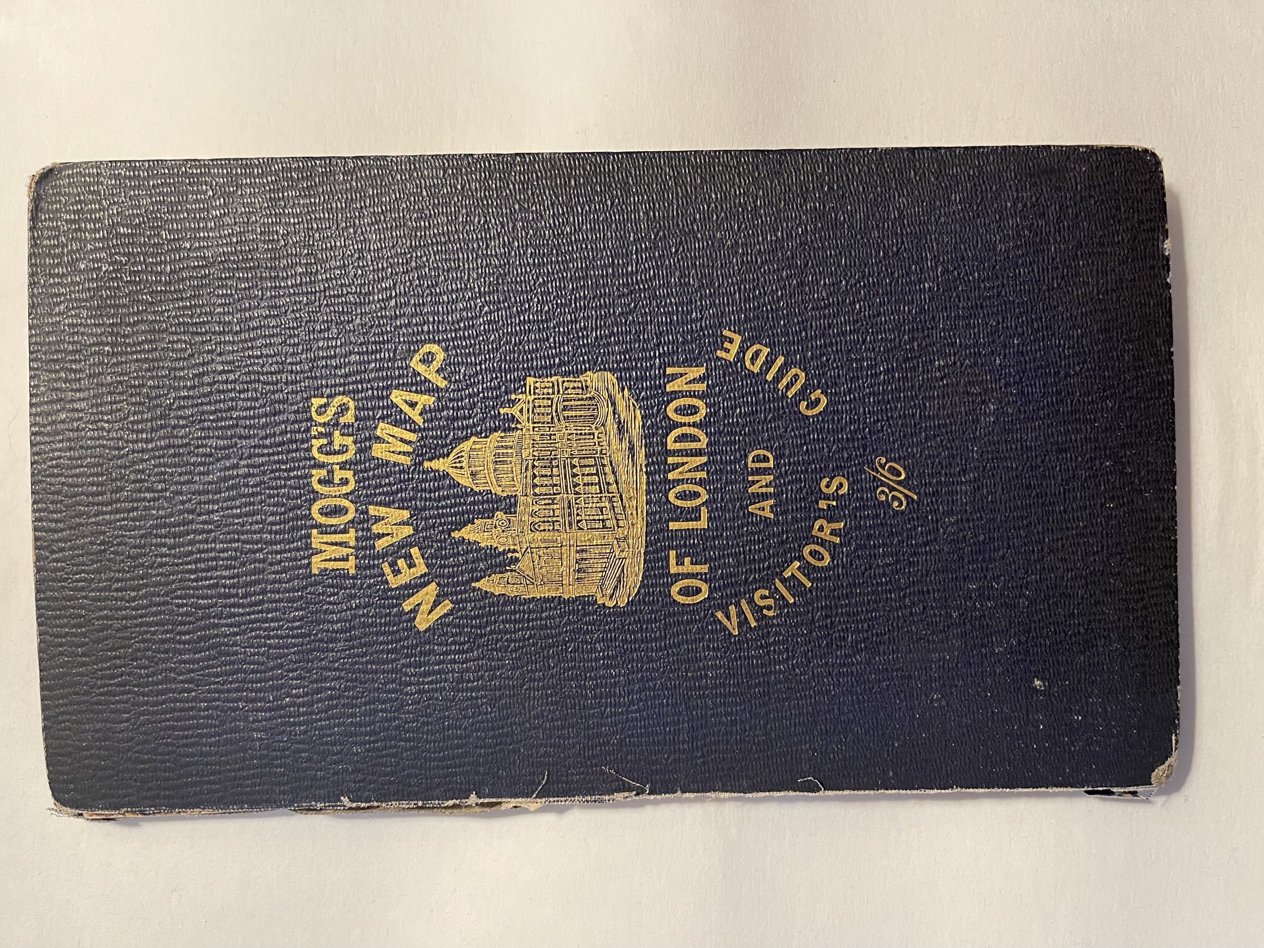 Image 3 of 18
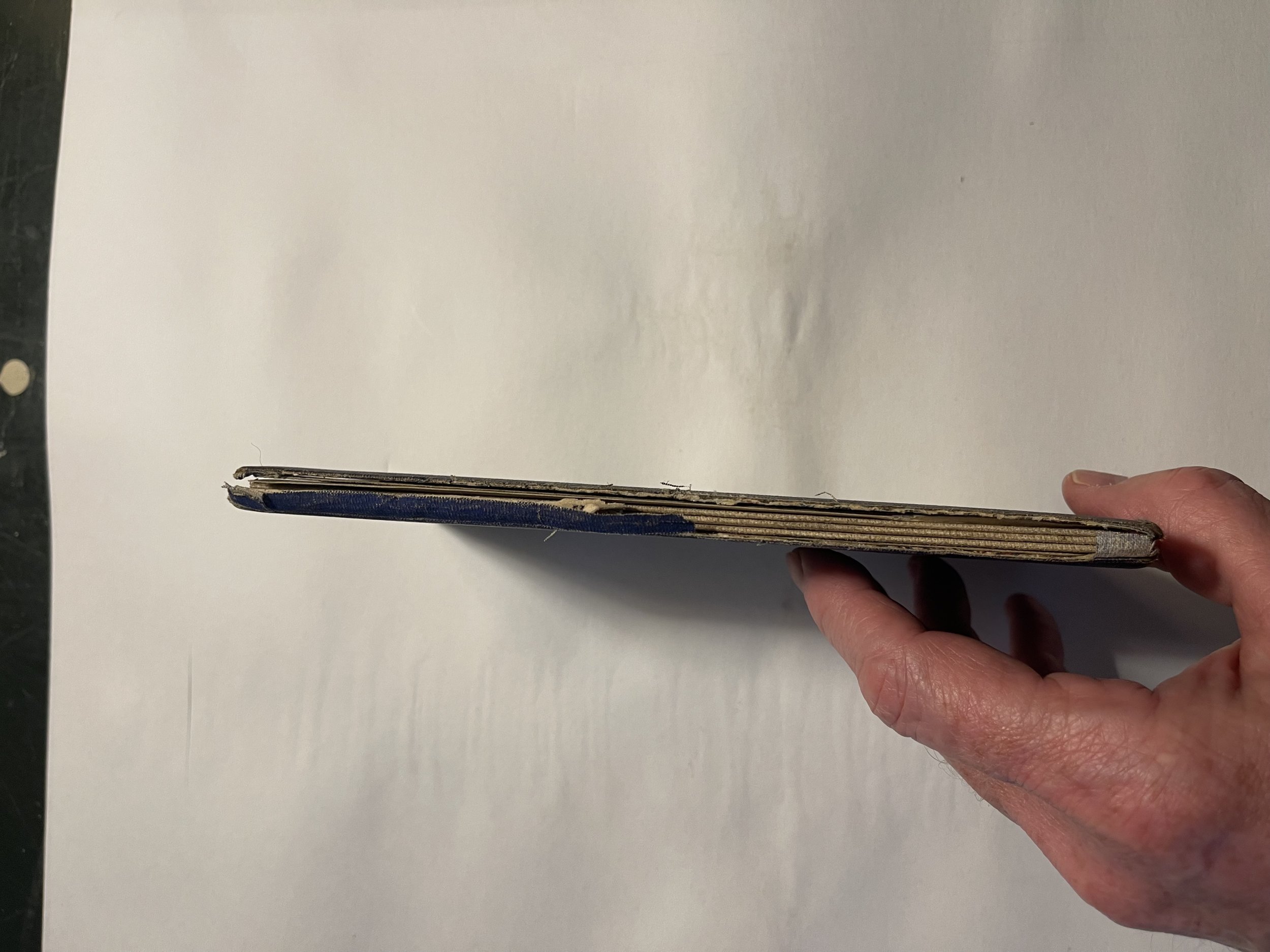 Image 4 of 18
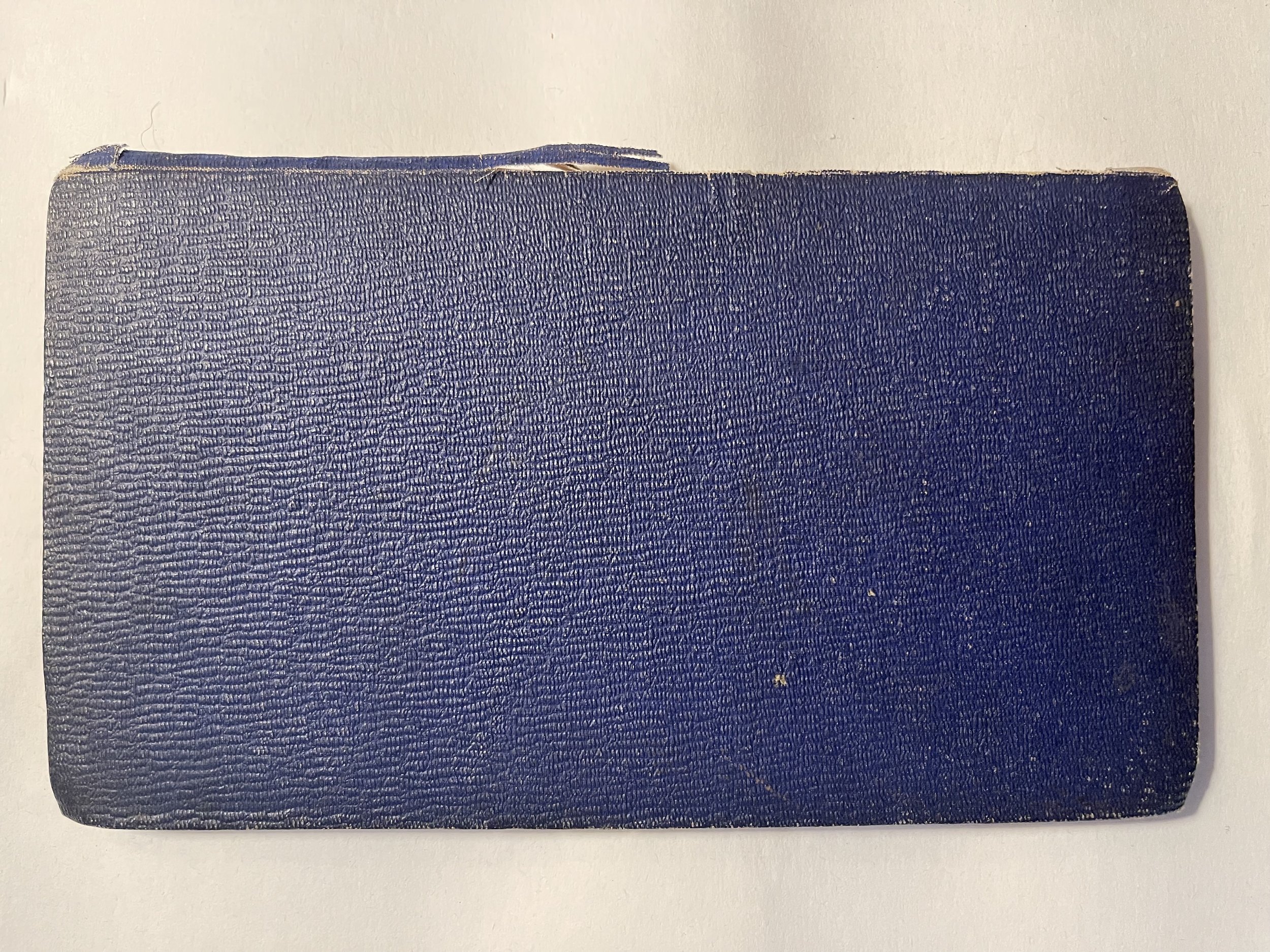 Image 5 of 18
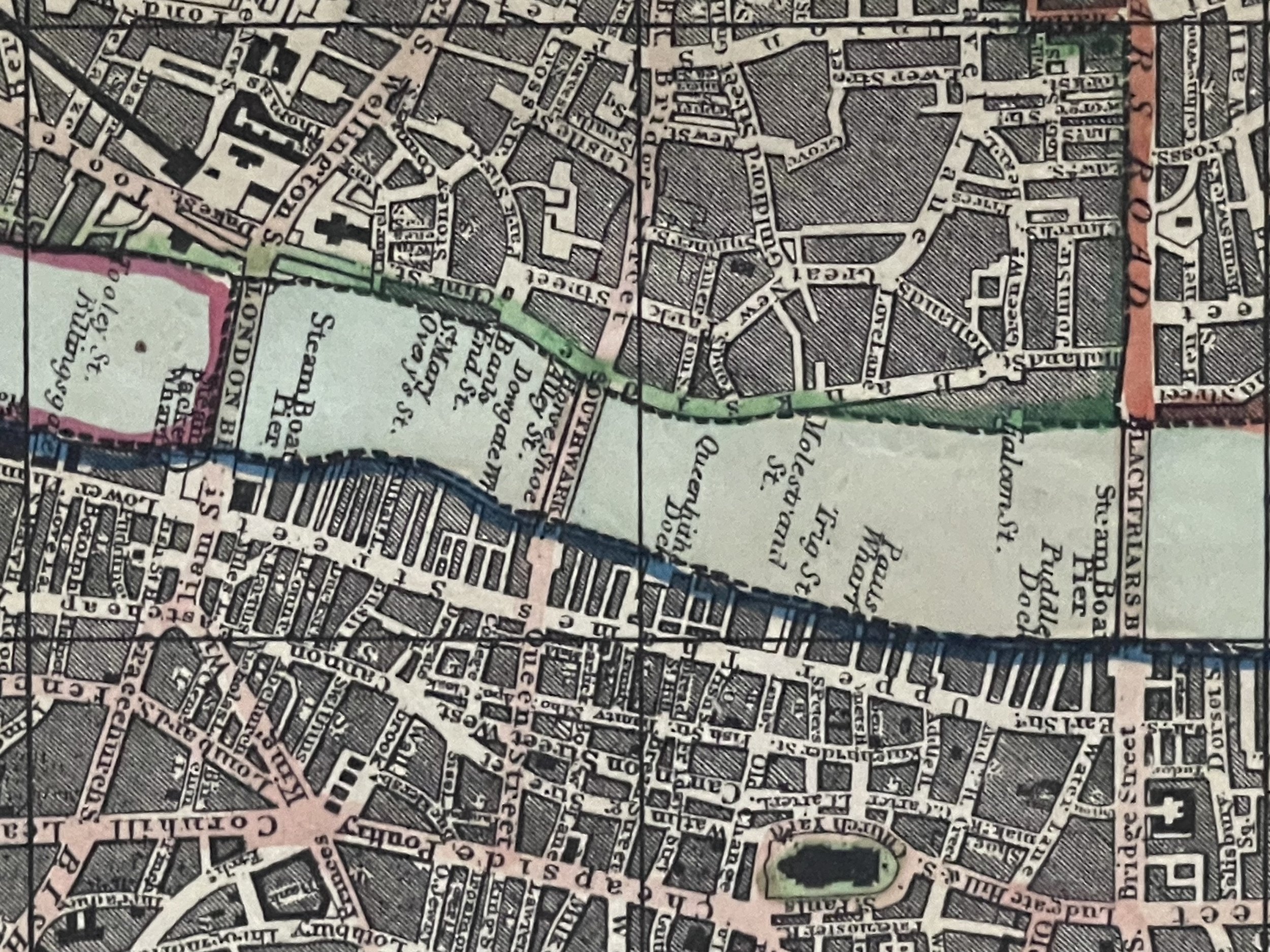 Image 6 of 18
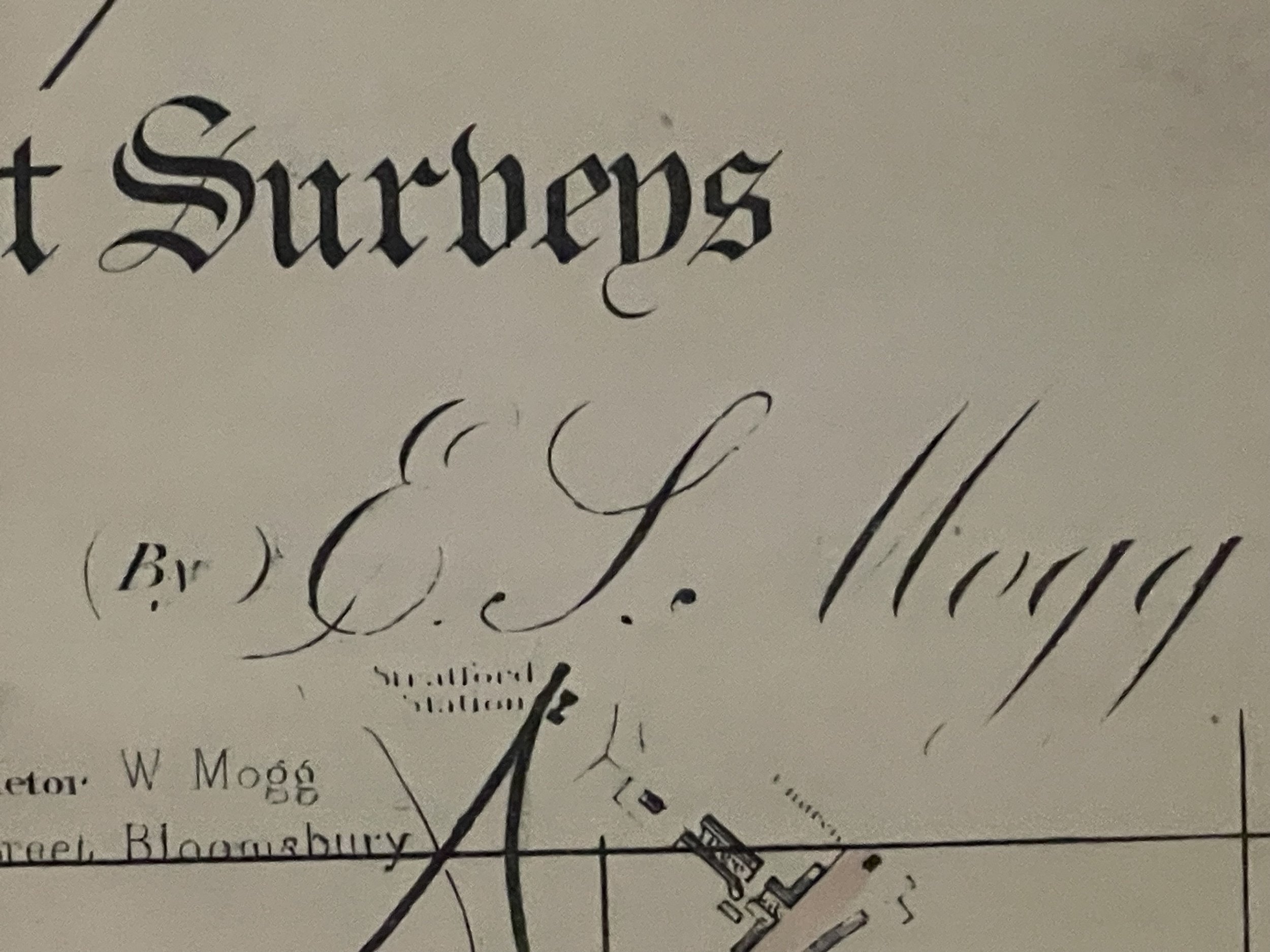 Image 7 of 18
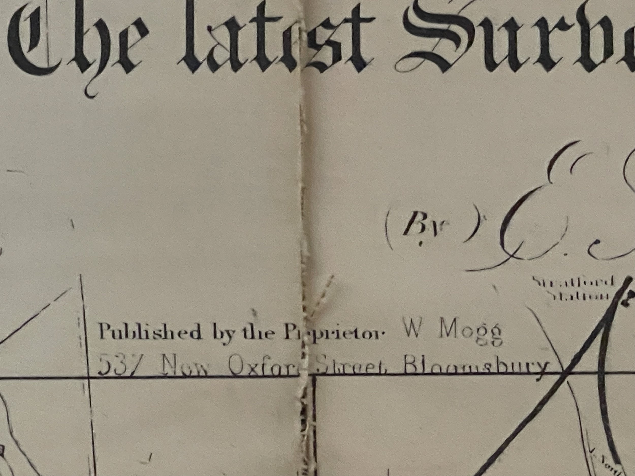 Image 8 of 18
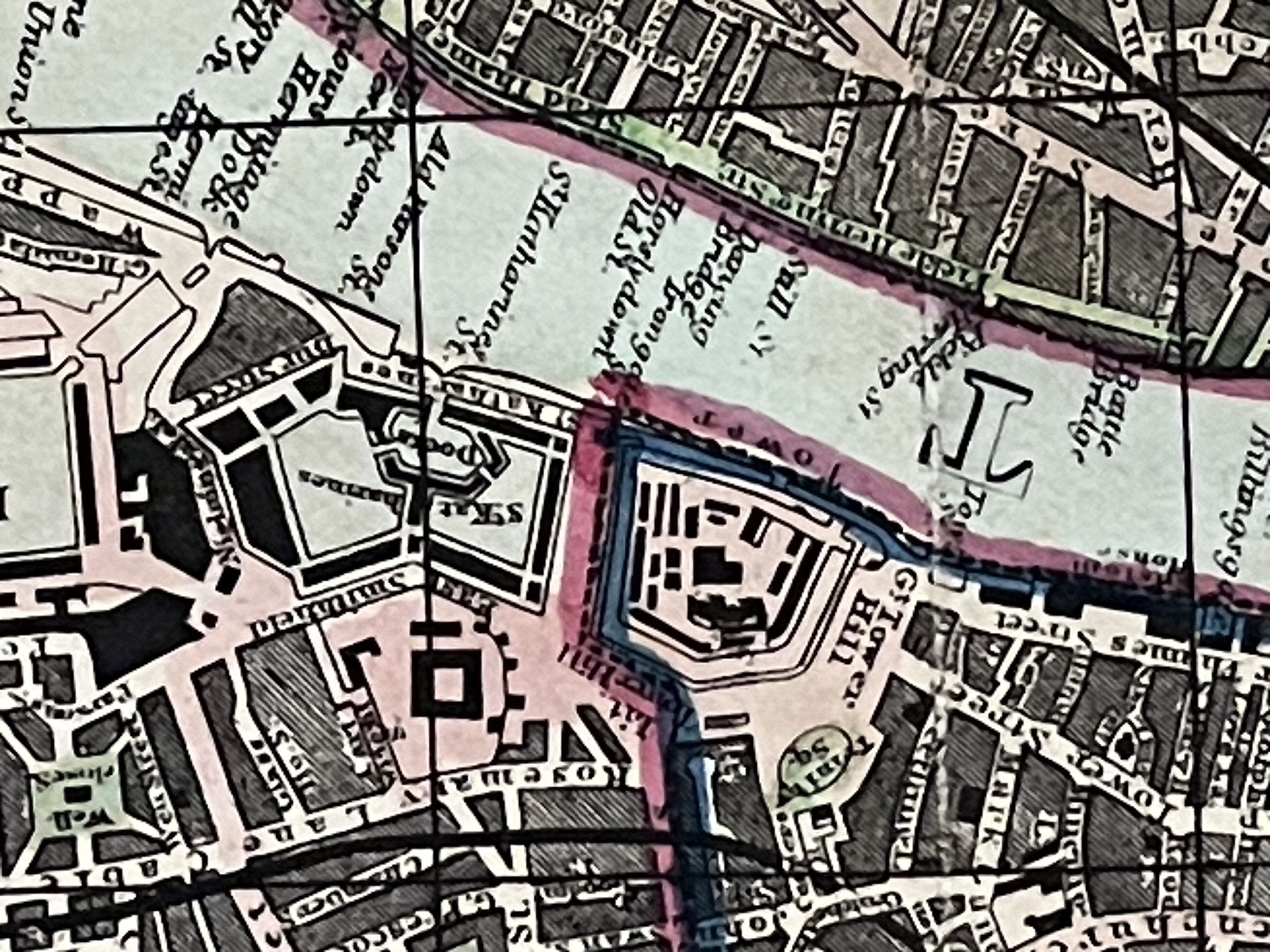 Image 9 of 18
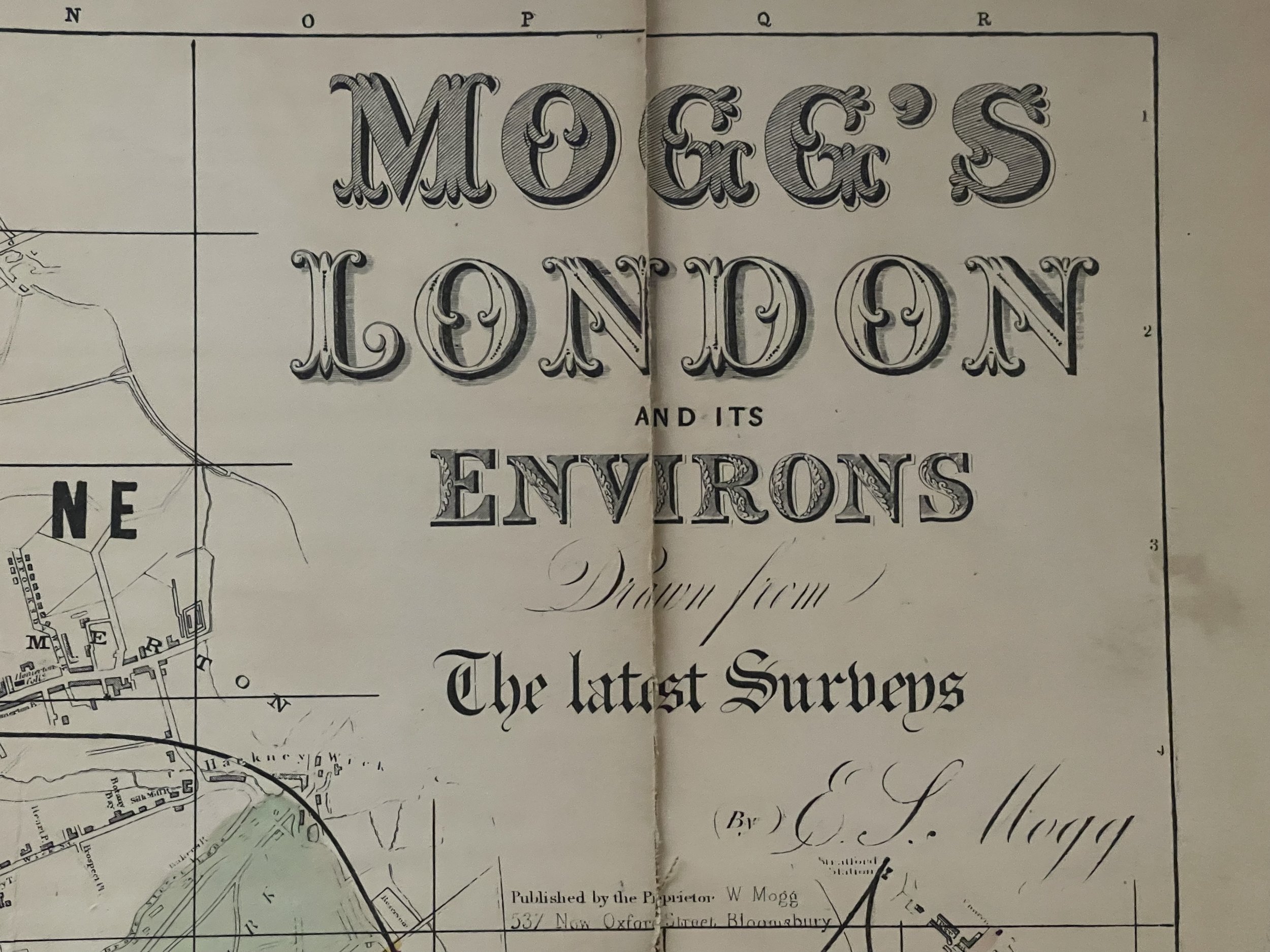 Image 10 of 18
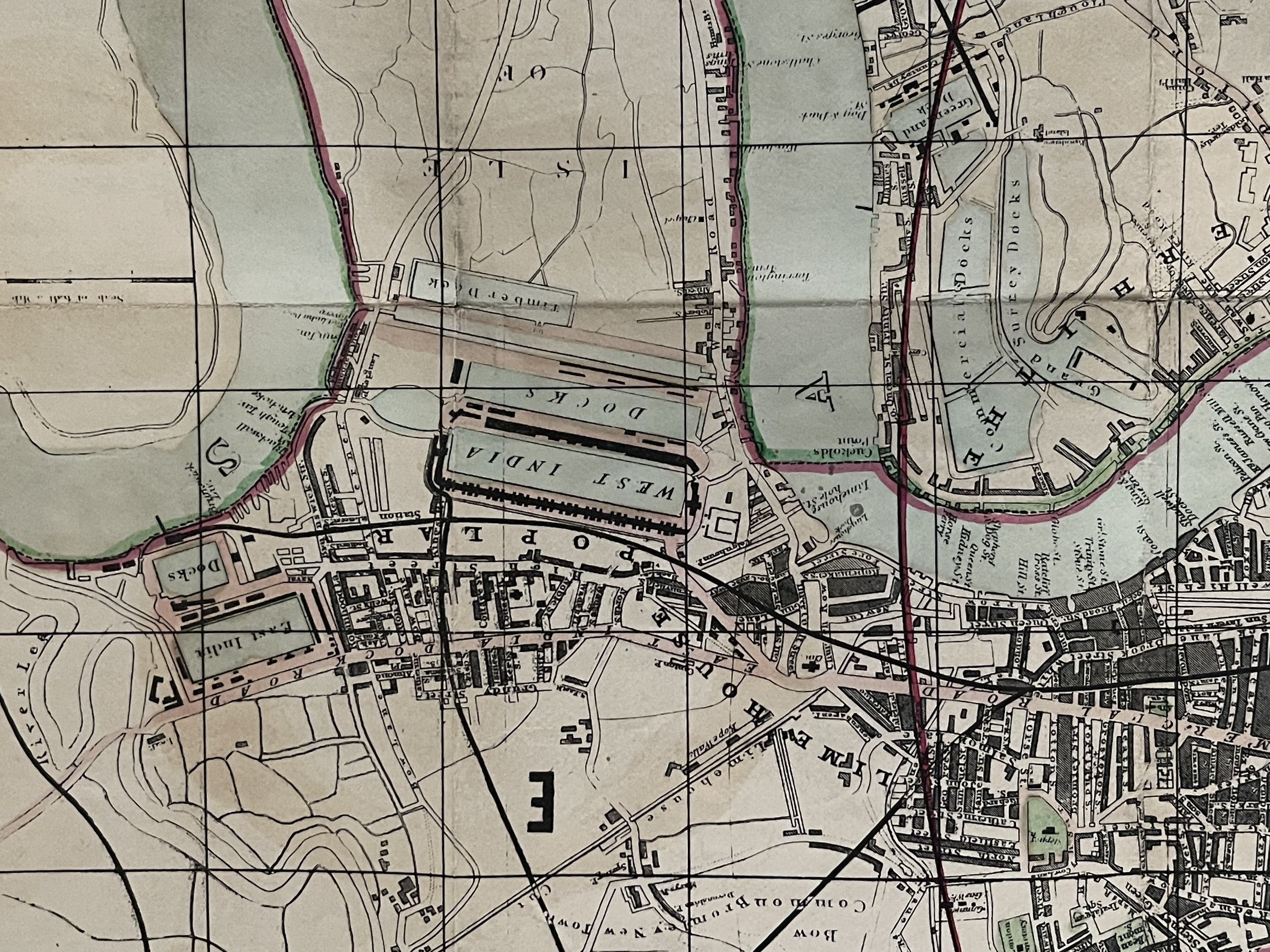 Image 11 of 18
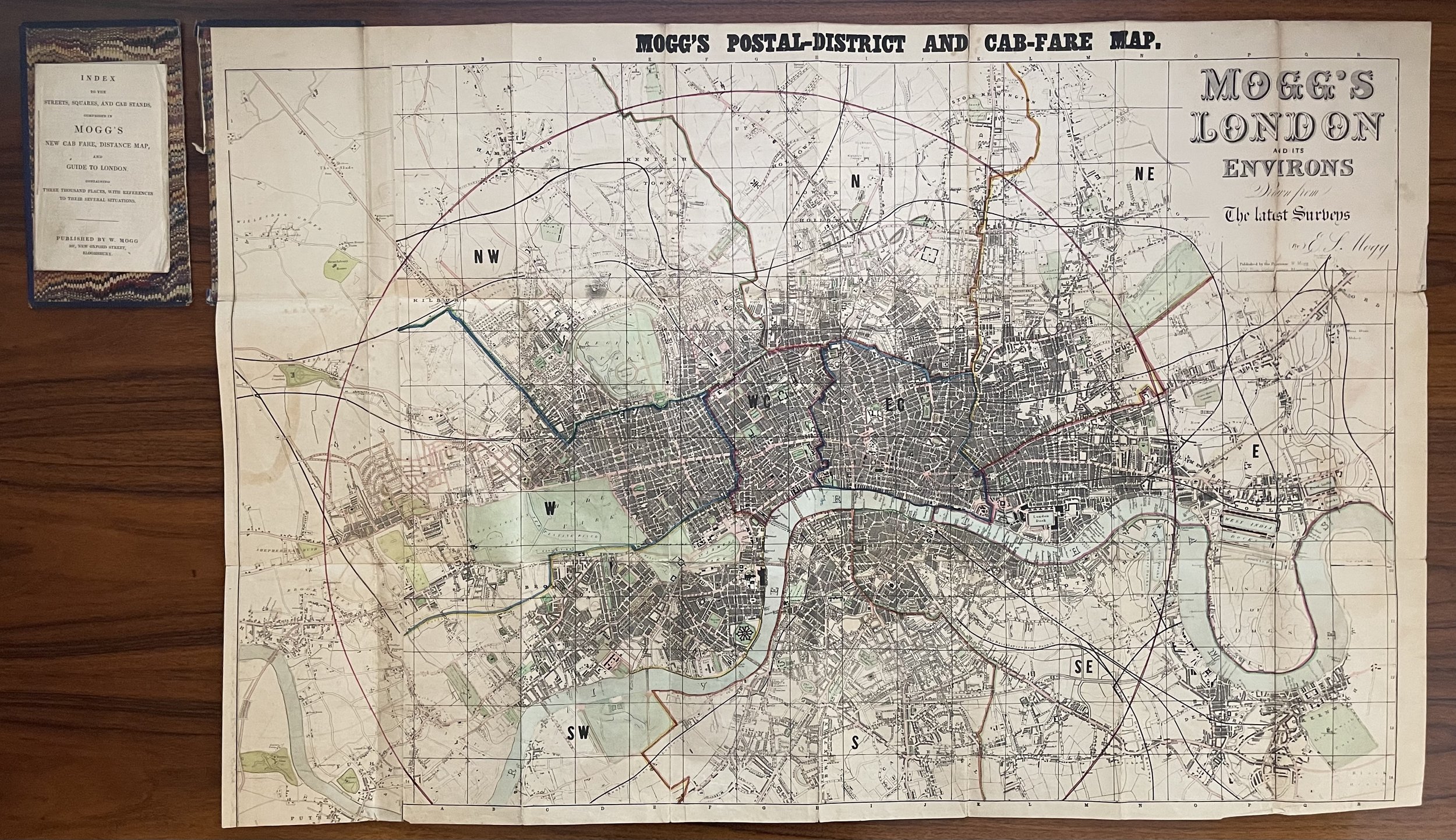 Image 12 of 18
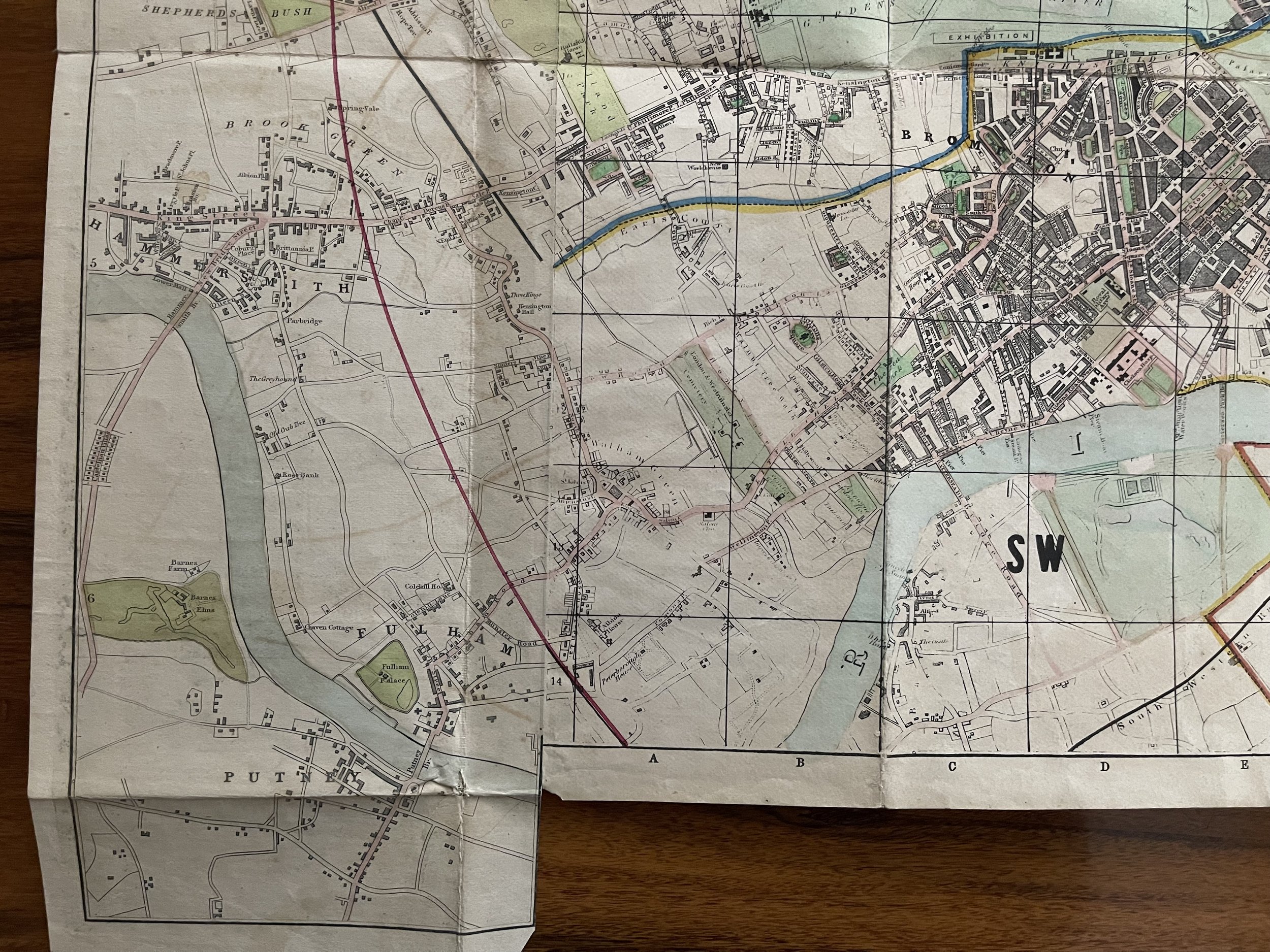 Image 13 of 18
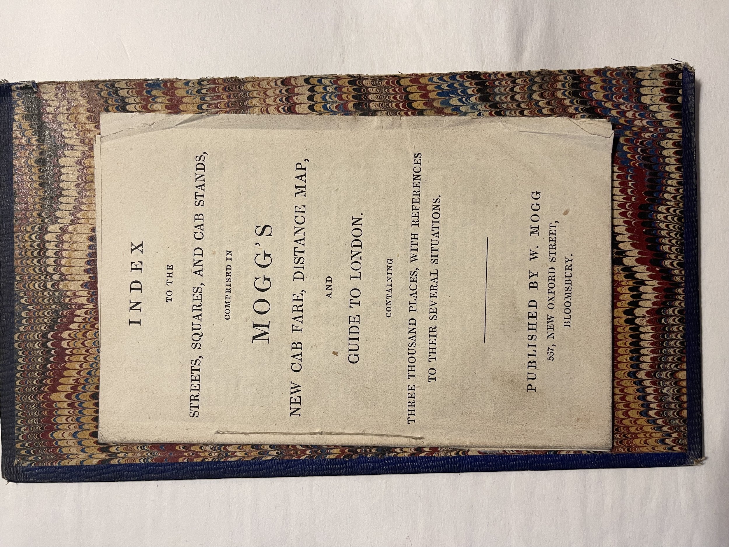 Image 14 of 18
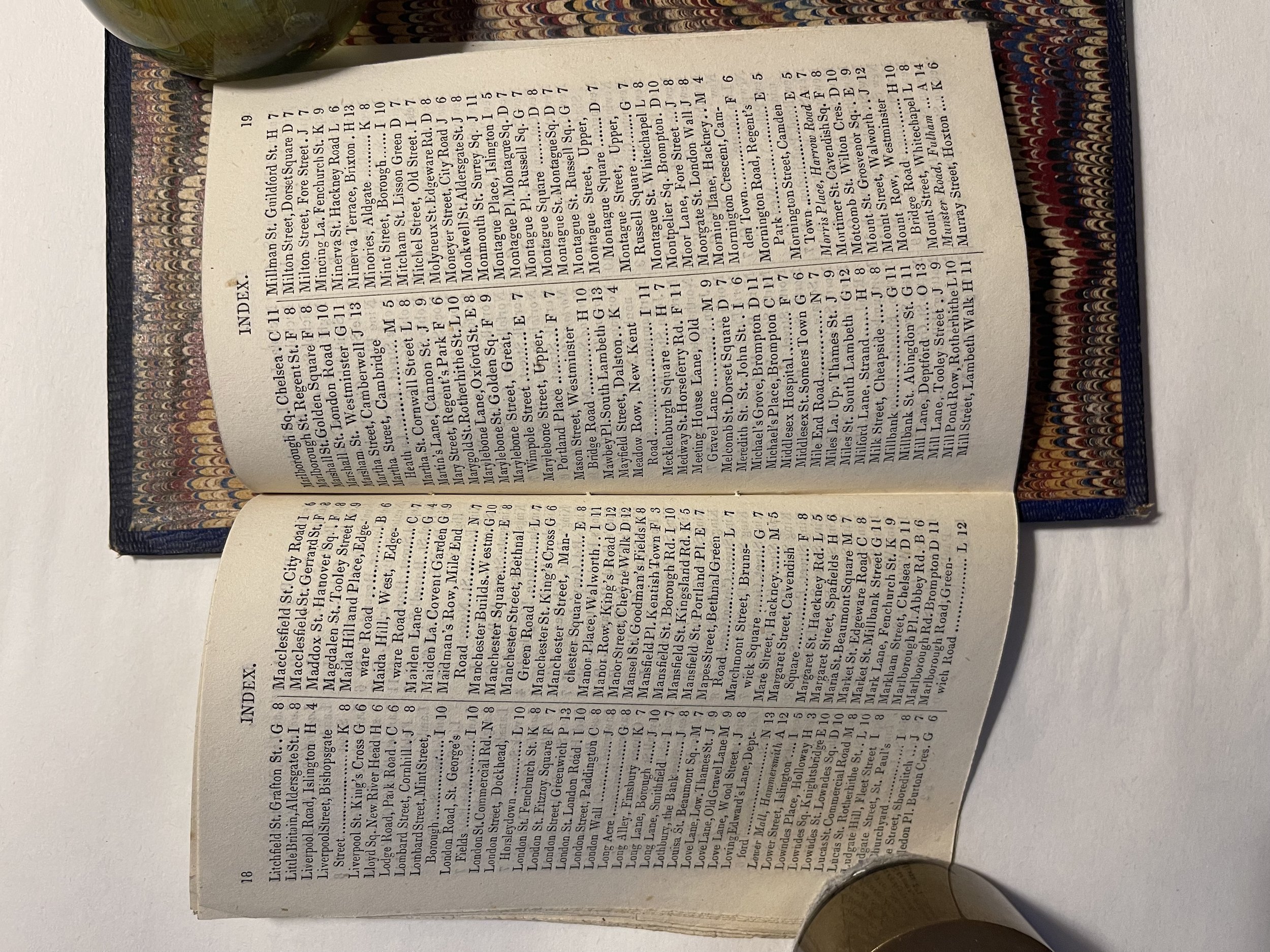 Image 15 of 18
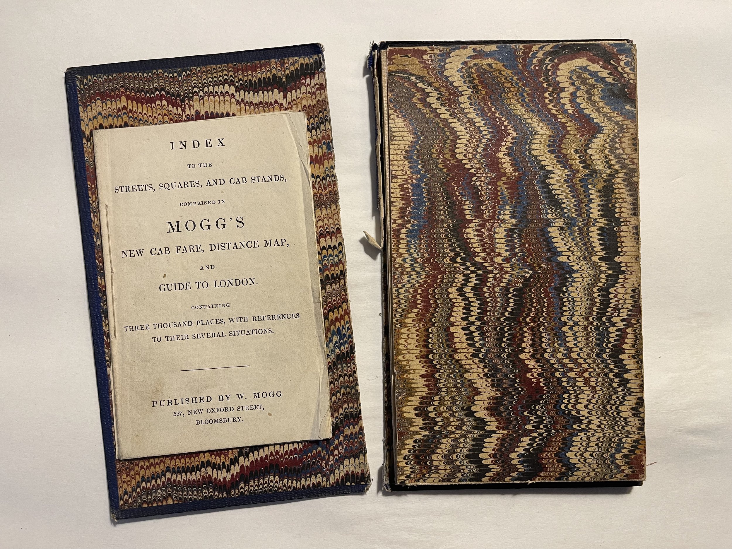 Image 16 of 18
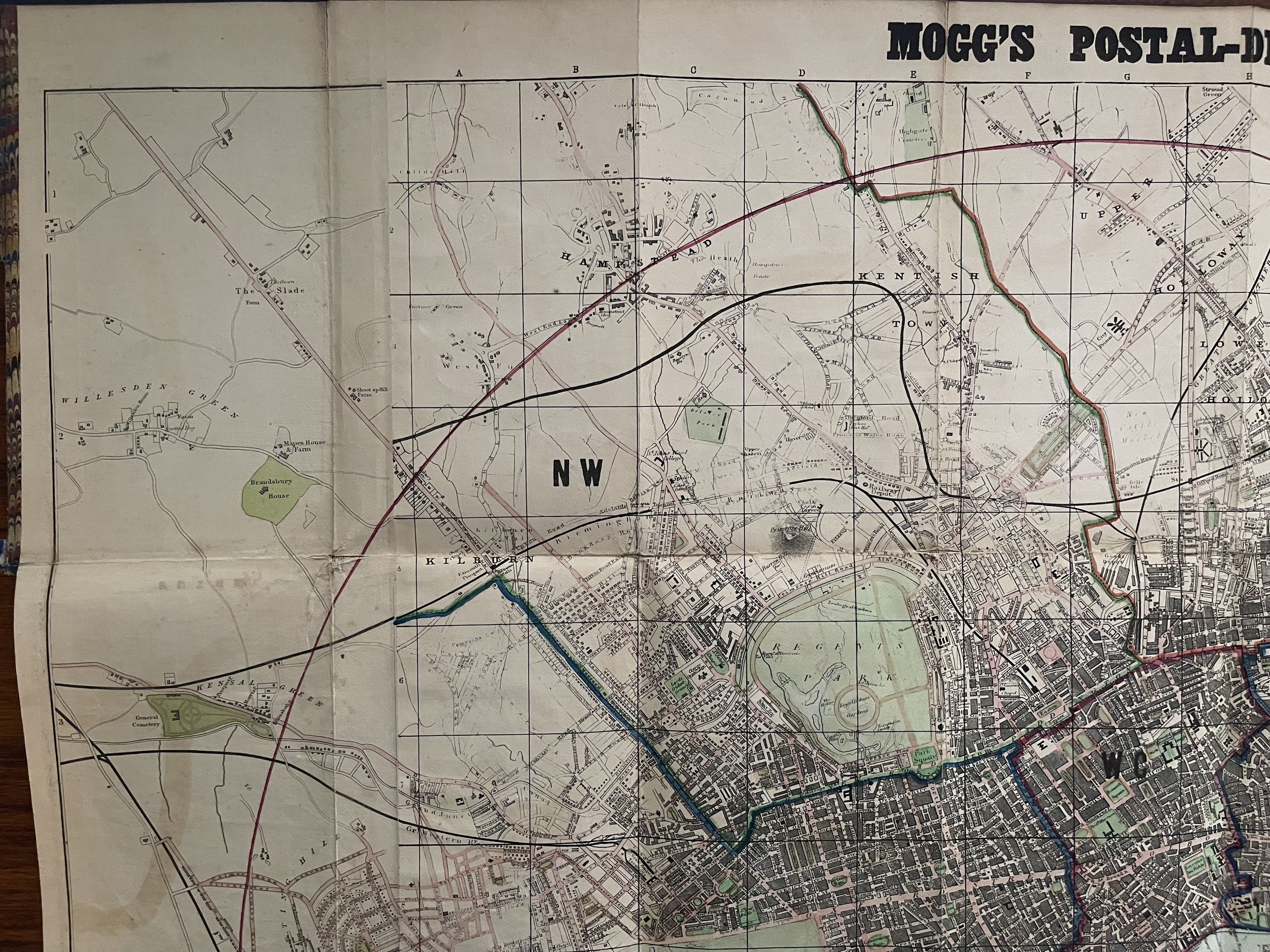 Image 17 of 18
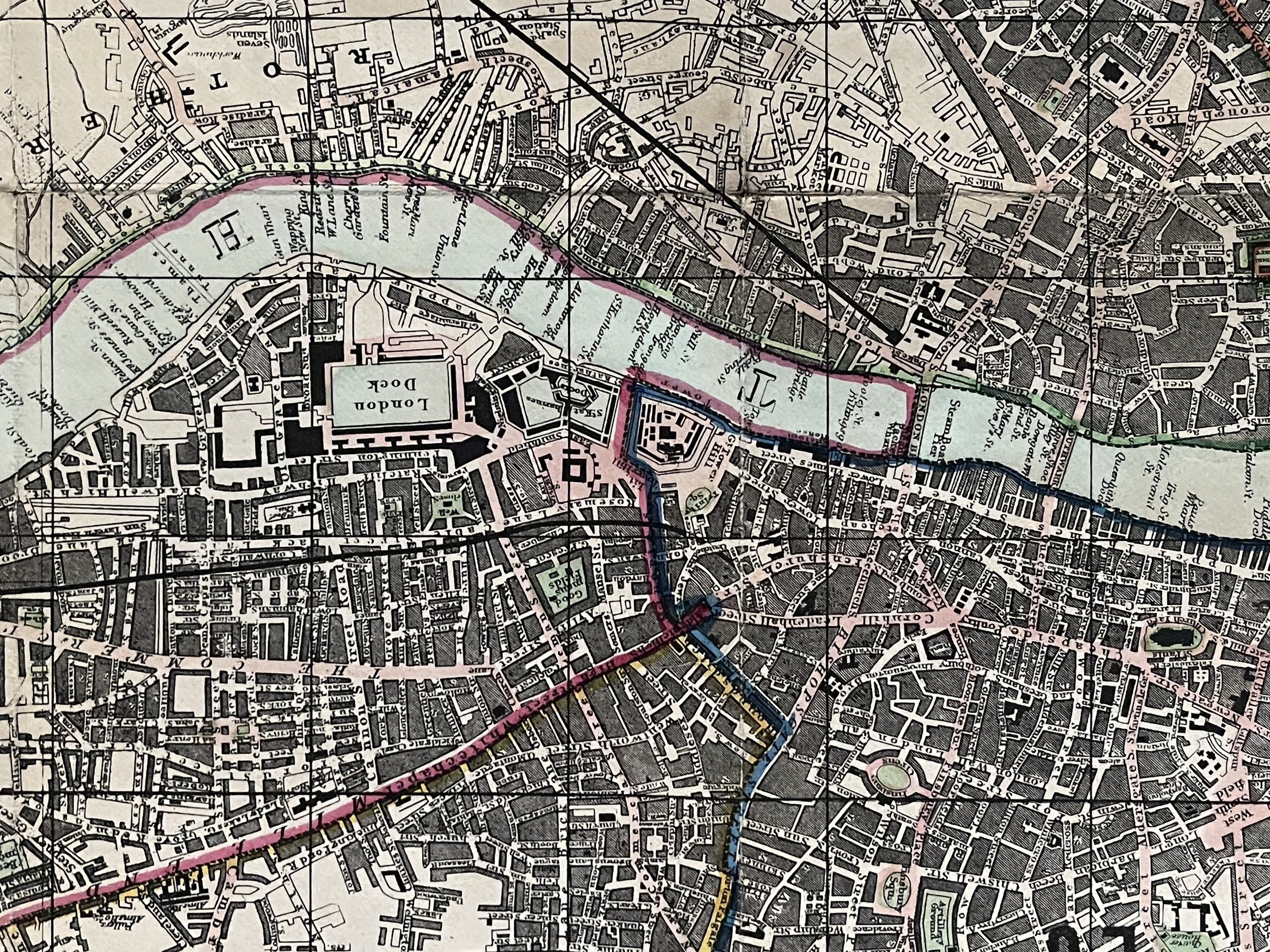 Image 18 of 18