https://www.peninsulapmg.com/foo.html     2022-06-04  
Skip to Content
Peninsula Maps & Globes
Home
Shop
About
Contact
English
0
0
Peninsula Maps & Globes
Home
Shop
About
Contact
English
0
0
Home
Shop
About
Contact
English
Back
Peninsula Shop London, Londres - Alain Manesson Mallet - 1683
IMG_5355.jpeg Image 1 of 7
IMG_5355.jpeg
IMG_5356.jpeg Image 2 of 7
IMG_5356.jpeg
IMG_5361.jpeg Image 3 of 7
IMG_5361.jpeg
IMG_5359.jpeg Image 4 of 7
IMG_5359.jpeg
IMG_5358.jpeg Image 5 of 7
IMG_5358.jpeg
IMG_5360.jpeg Image 6 of 7
IMG_5360.jpeg
IMG_5357.jpeg Image 7 of 7
IMG_5357.jpeg
IMG_5355.jpeg
IMG_5356.jpeg
IMG_5361.jpeg
IMG_5359.jpeg
IMG_5358.jpeg
IMG_5360.jpeg
IMG_5357.jpeg

London, Londres - Alain Manesson Mallet - 1683

£225.00

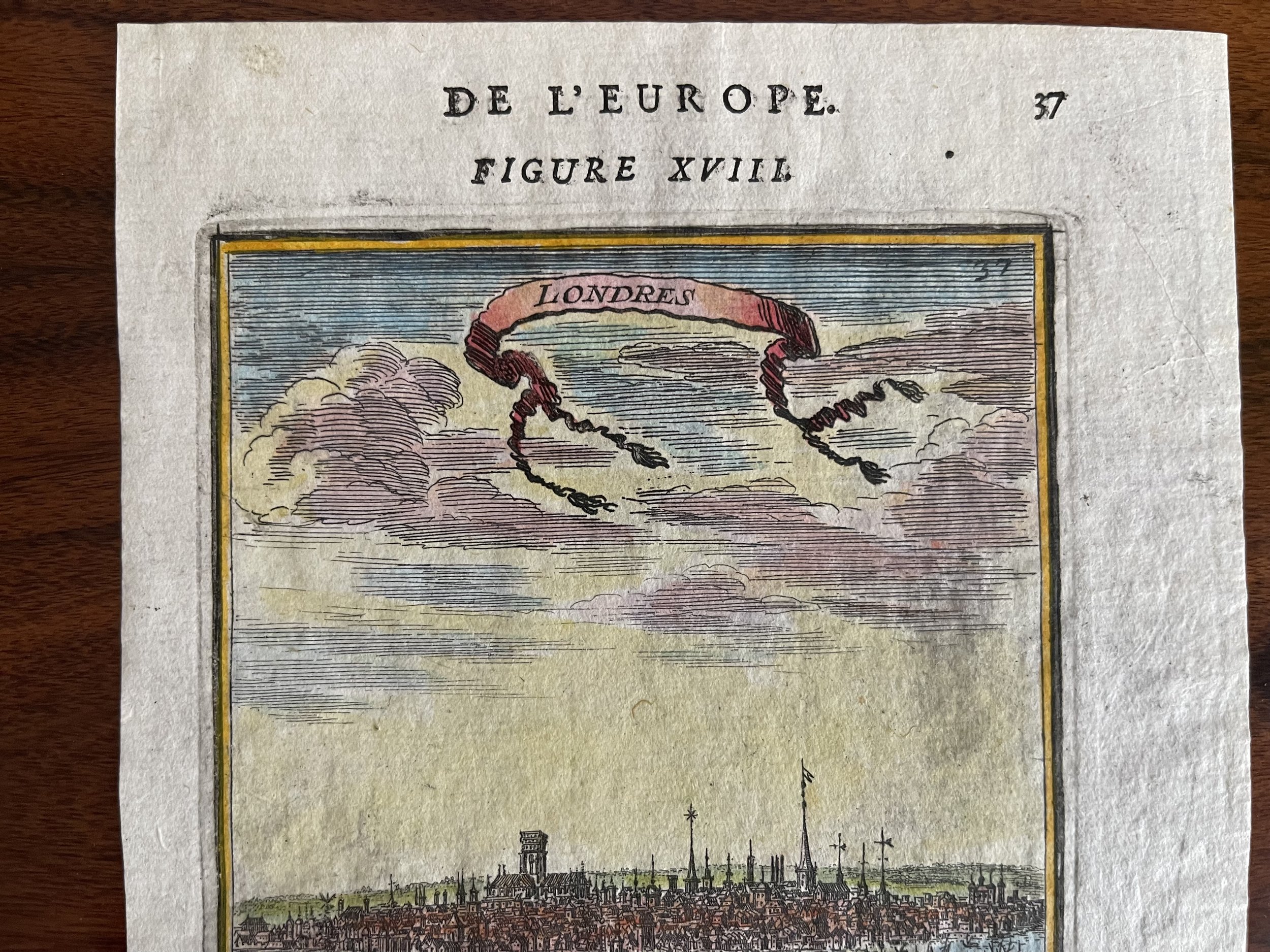
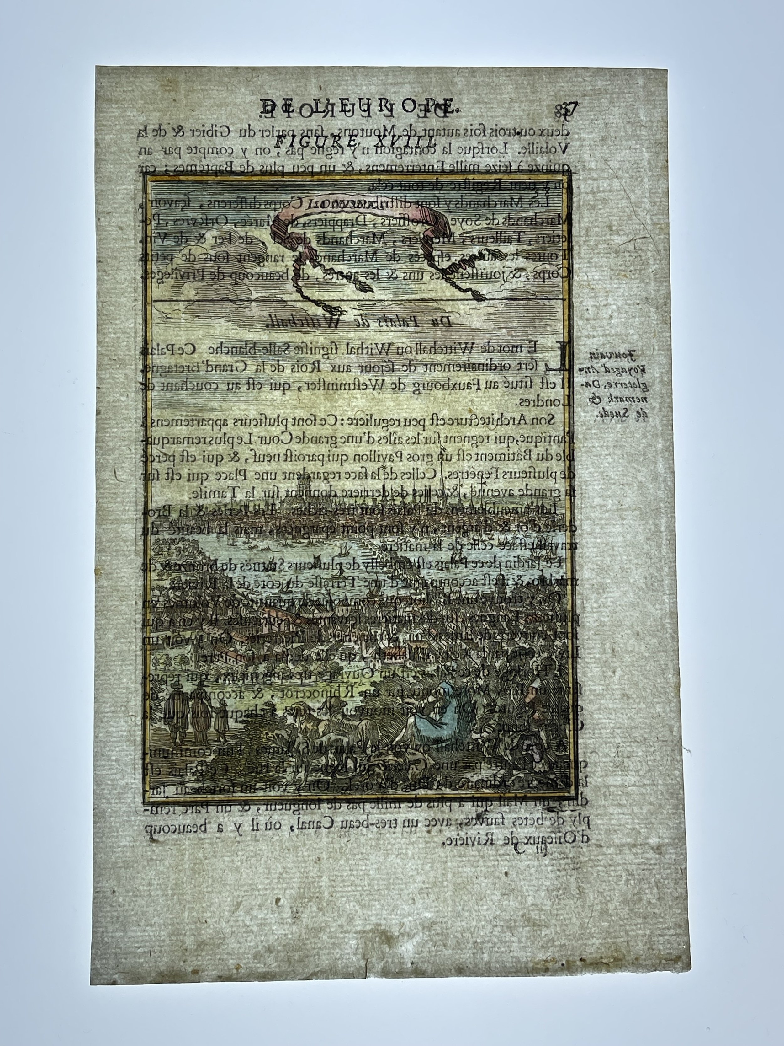
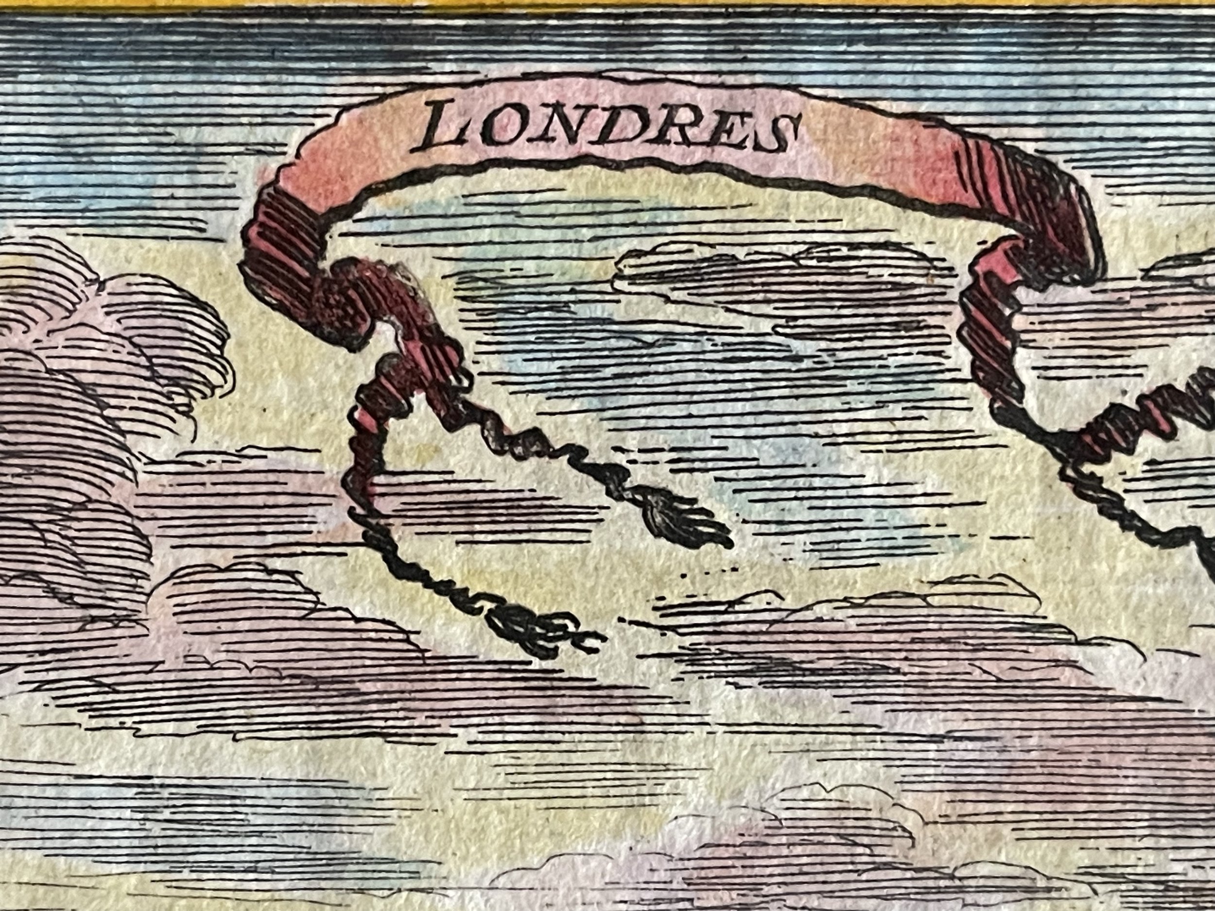
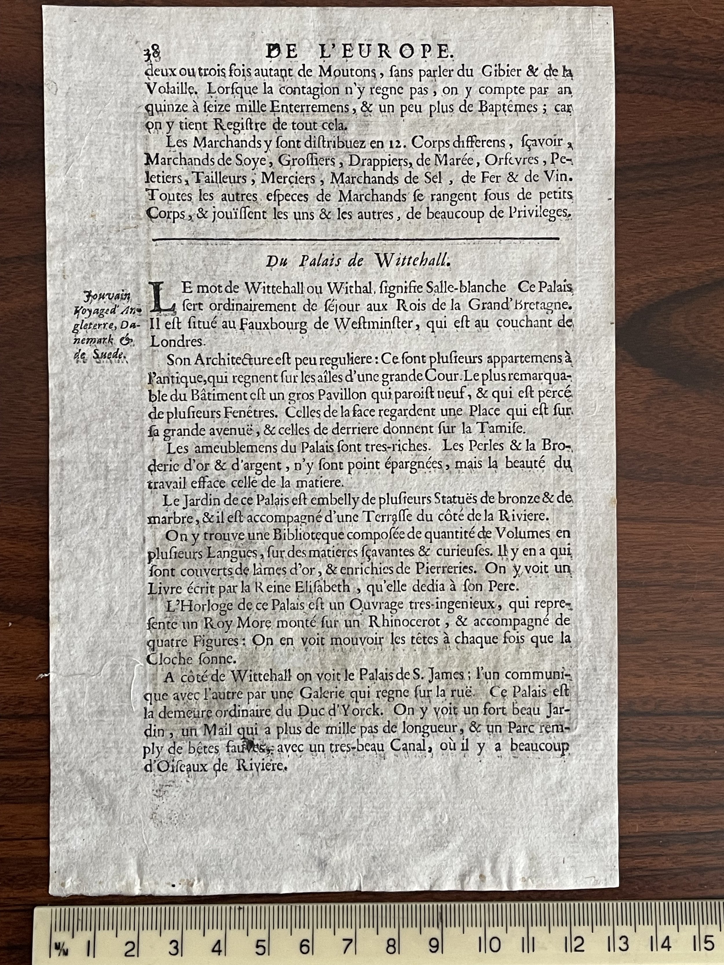
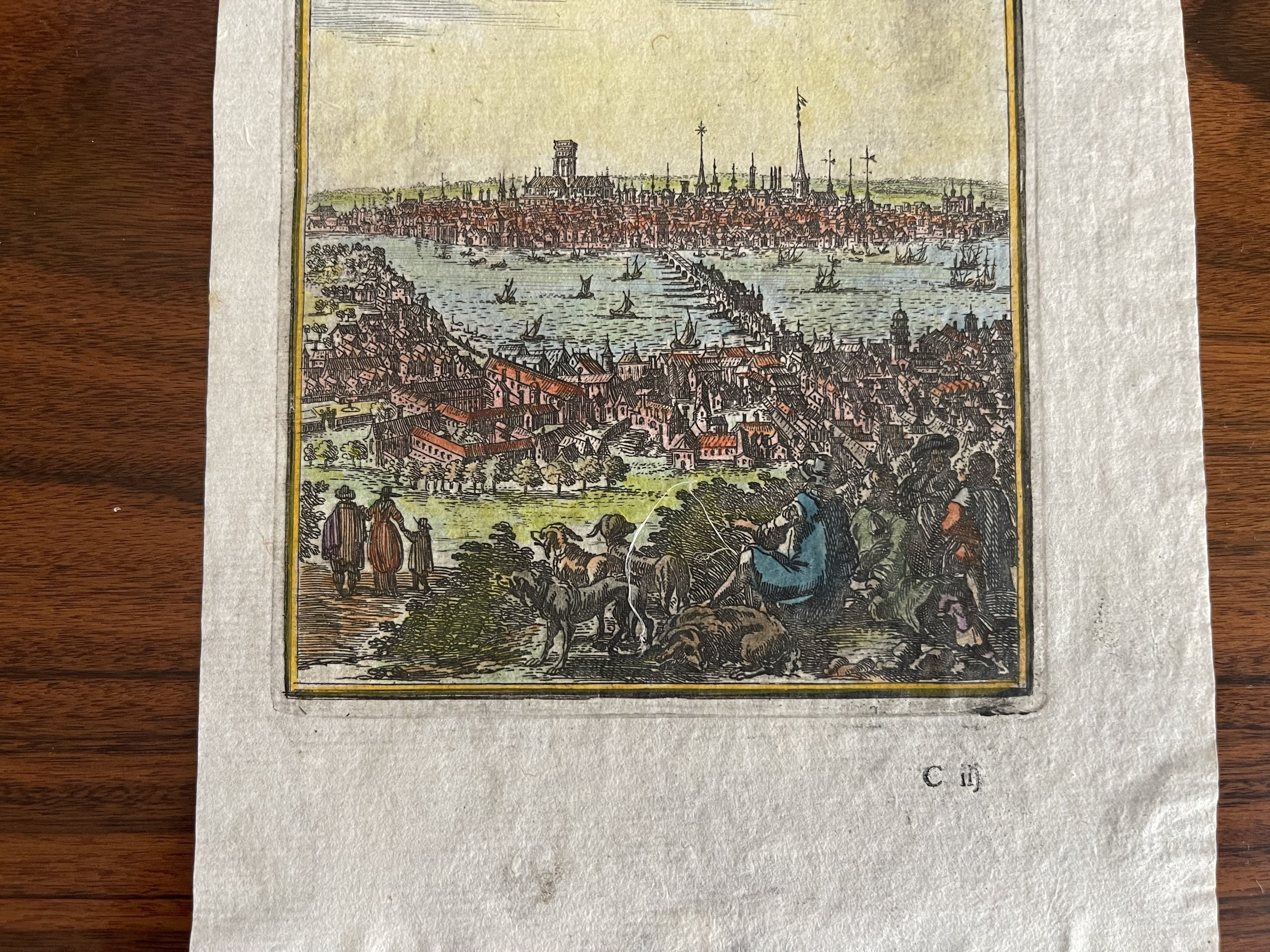
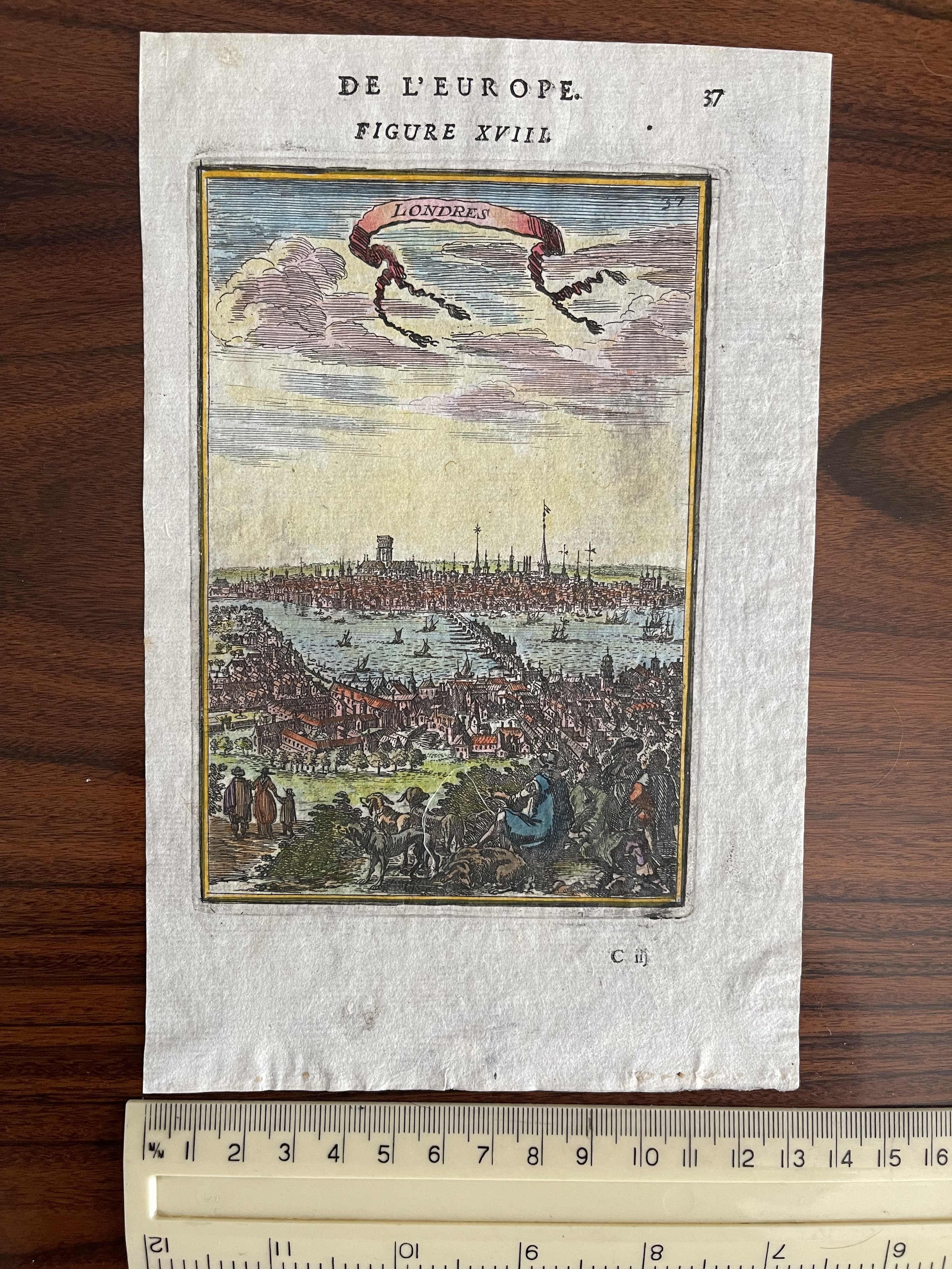
Interesting early view of London, from Mallet's Description De L'Univers, first published in Paris in 1683.

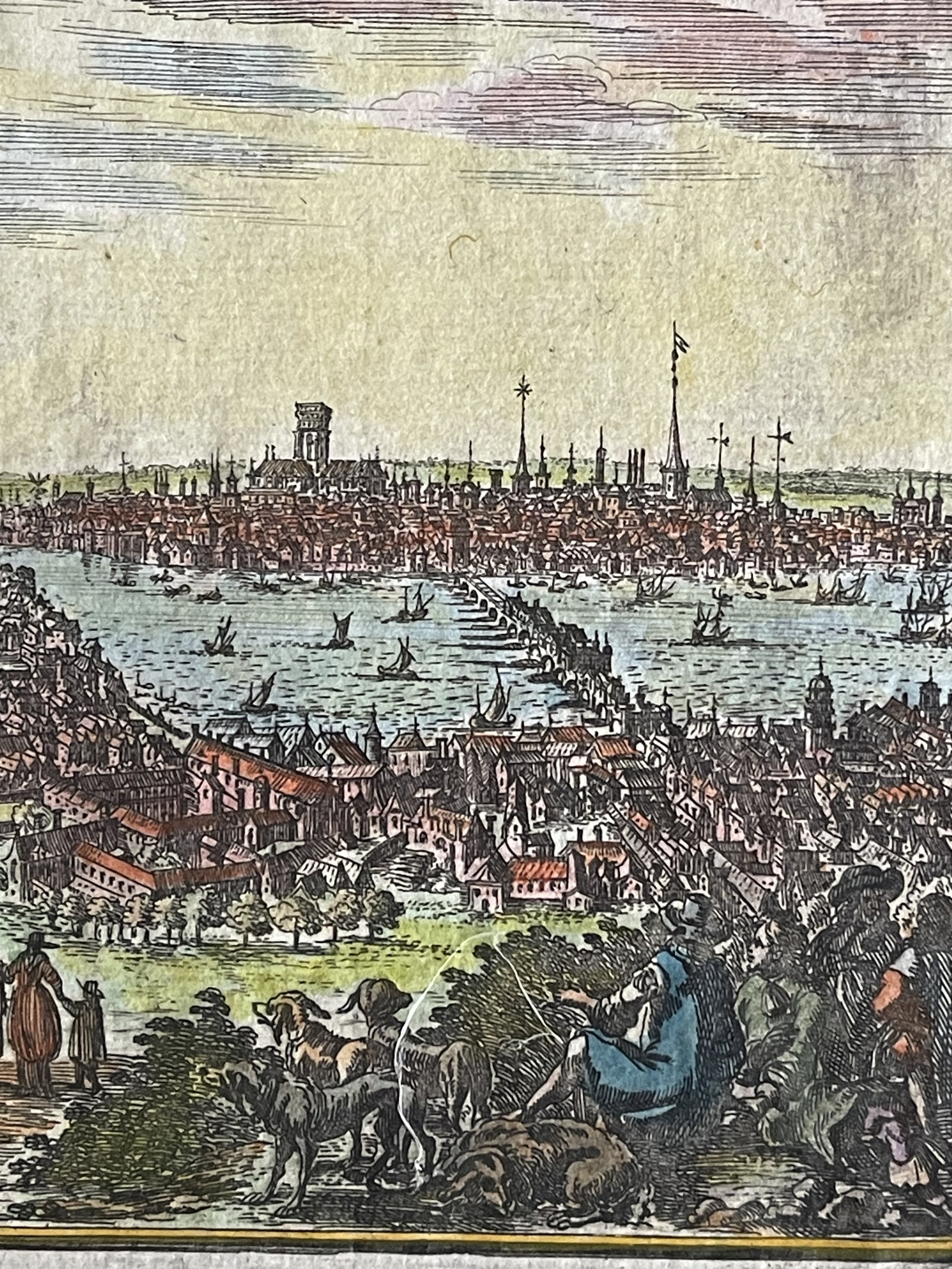
The view is from a fictional hill in south London overlooking Southwark and the London Bridge, toward the City of London and its many church steeples.

The view was published less than 20 years after the infamous 1666 London Fire.

Alain Mannesson Mallet (1630-1706) was a French mapmaker and engineer who served in the armies of Louis XIV. After rising through the ranks, Mallet was appointed as Inspector of Fortifications, a job which also required mathematical skills and which made him a competent military engineer. Eventually, he joined the court of Louis XIV at Versailles, where he taught math and focused on writing.

Mallet is best known for his Description de L’Univers, first published in 1683, in five volumes. A wide-ranging geographical work, the Description included textual descriptions of the countries of the world, as well as maps of the celestial sky and the ancient and modern worlds. The Description continued to be published until the early eighteenth century. He also published a work in three volumes on warfare (1684) and a primer on geometry (1702).

Add To Cart

Interesting early view of London, from Mallet's Description De L'Univers, first published in Paris in 1683.

The view is from a fictional hill in south London overlooking Southwark and the London Bridge, toward the City of London and its many church steeples.

The view was published less than 20 years after the infamous 1666 London Fire.

Alain Mannesson Mallet (1630-1706) was a French mapmaker and engineer who served in the armies of Louis XIV. After rising through the ranks, Mallet was appointed as Inspector of Fortifications, a job which also required mathematical skills and which made him a competent military engineer. Eventually, he joined the court of Louis XIV at Versailles, where he taught math and focused on writing.

Mallet is best known for his Description de L’Univers, first published in 1683, in five volumes. A wide-ranging geographical work, the Description included textual descriptions of the countries of the world, as well as maps of the celestial sky and the ancient and modern worlds. The Description continued to be published until the early eighteenth century. He also published a work in three volumes on warfare (1684) and a primer on geometry (1702).

Code : A459

Cartographer : Cartographer / Engraver / Publisher: Alain Manesson Mallet

Date : Publication Place / Date - Holland 1683

Size : Sheet size: Image Size:  13.5 cm x 20.5 cm

Availability : Available

Type - Genuine - Antique

Grading A

Where Applicable - Folds as issued. Light box photo shows the folio leaf centre margin hinge ‘glue’, this is not visible otherwise.

Tracked postage, in casement. Please contact me for postal quotation outside of the UK. 
Peninsula Maps & Globes - London England

Made with Squarespace

Contact: pmgmapsandglobes01@gmail.com