 Image 1 of 48
 Image 2 of 48
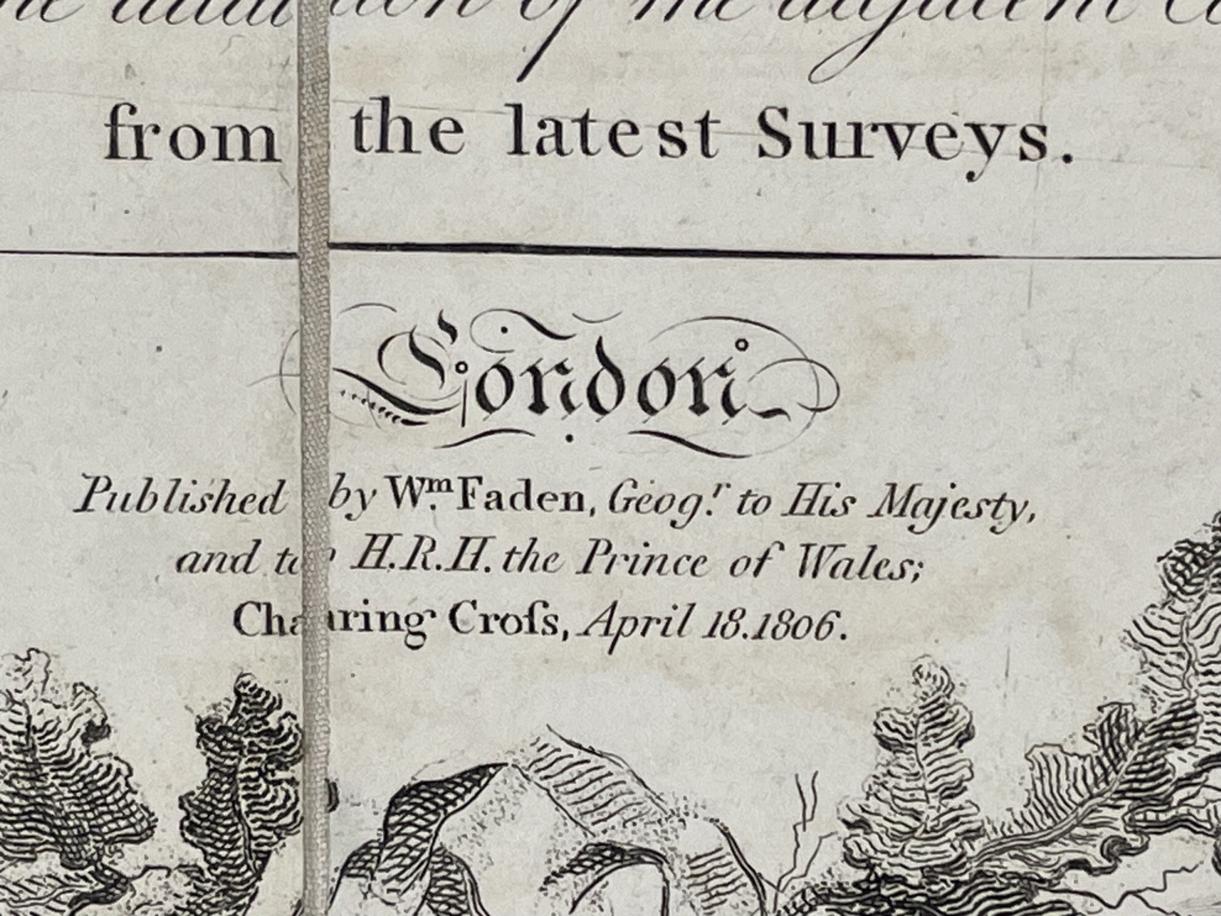 Image 3 of 48
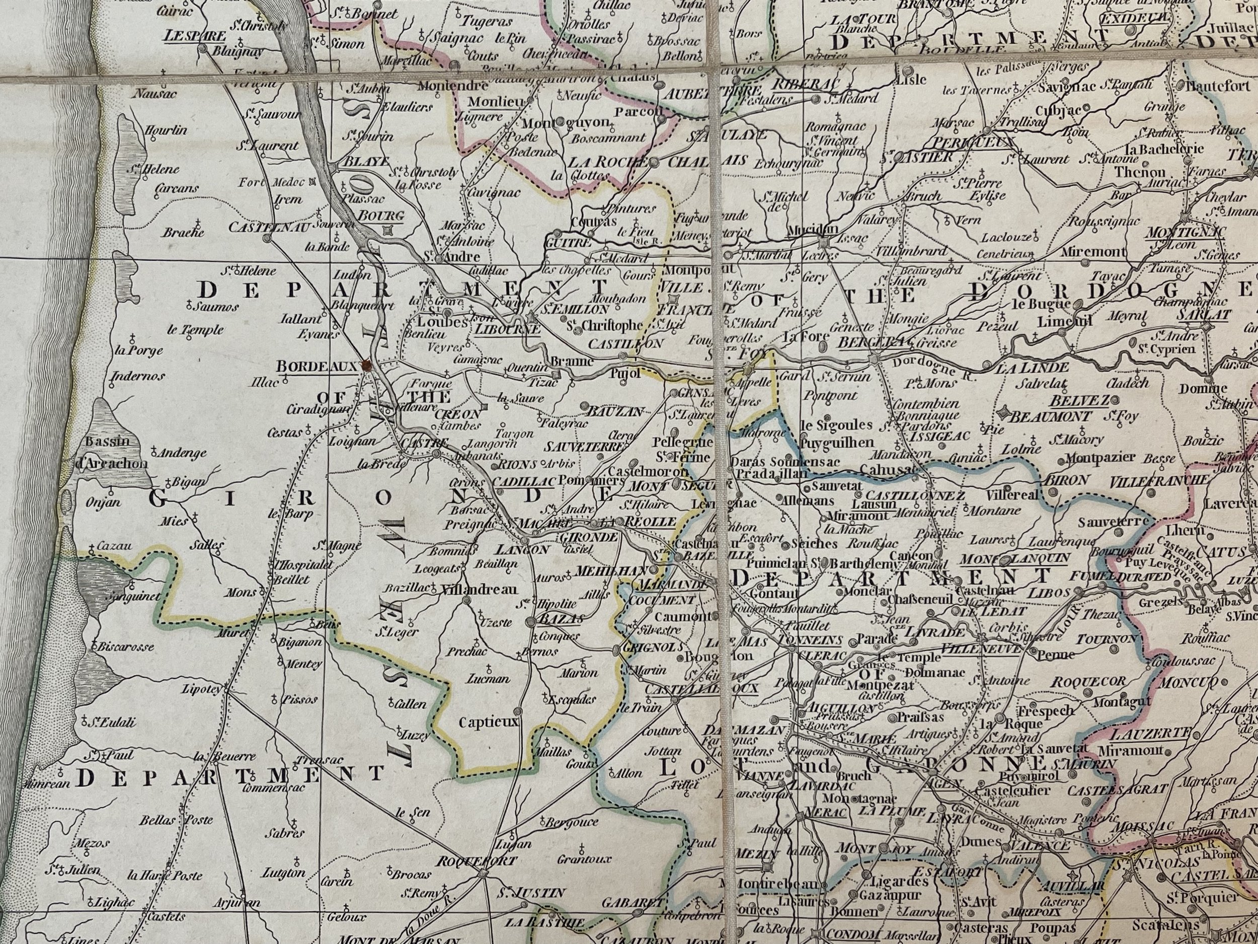 Image 4 of 48
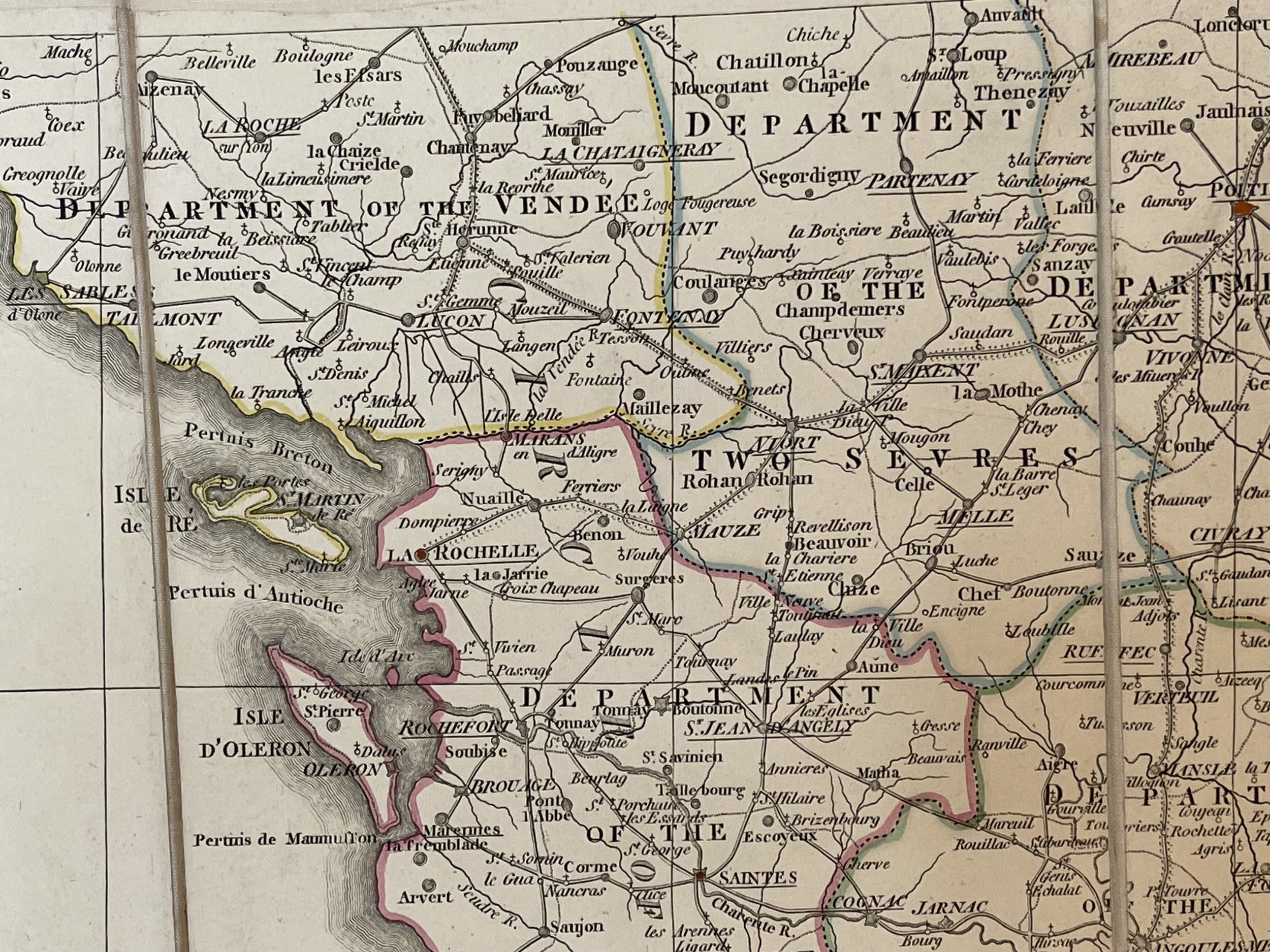 Image 5 of 48
 Image 6 of 48
 Image 7 of 48
 Image 8 of 48
 Image 9 of 48
 Image 10 of 48
 Image 11 of 48
 Image 12 of 48
 Image 13 of 48
 Image 14 of 48
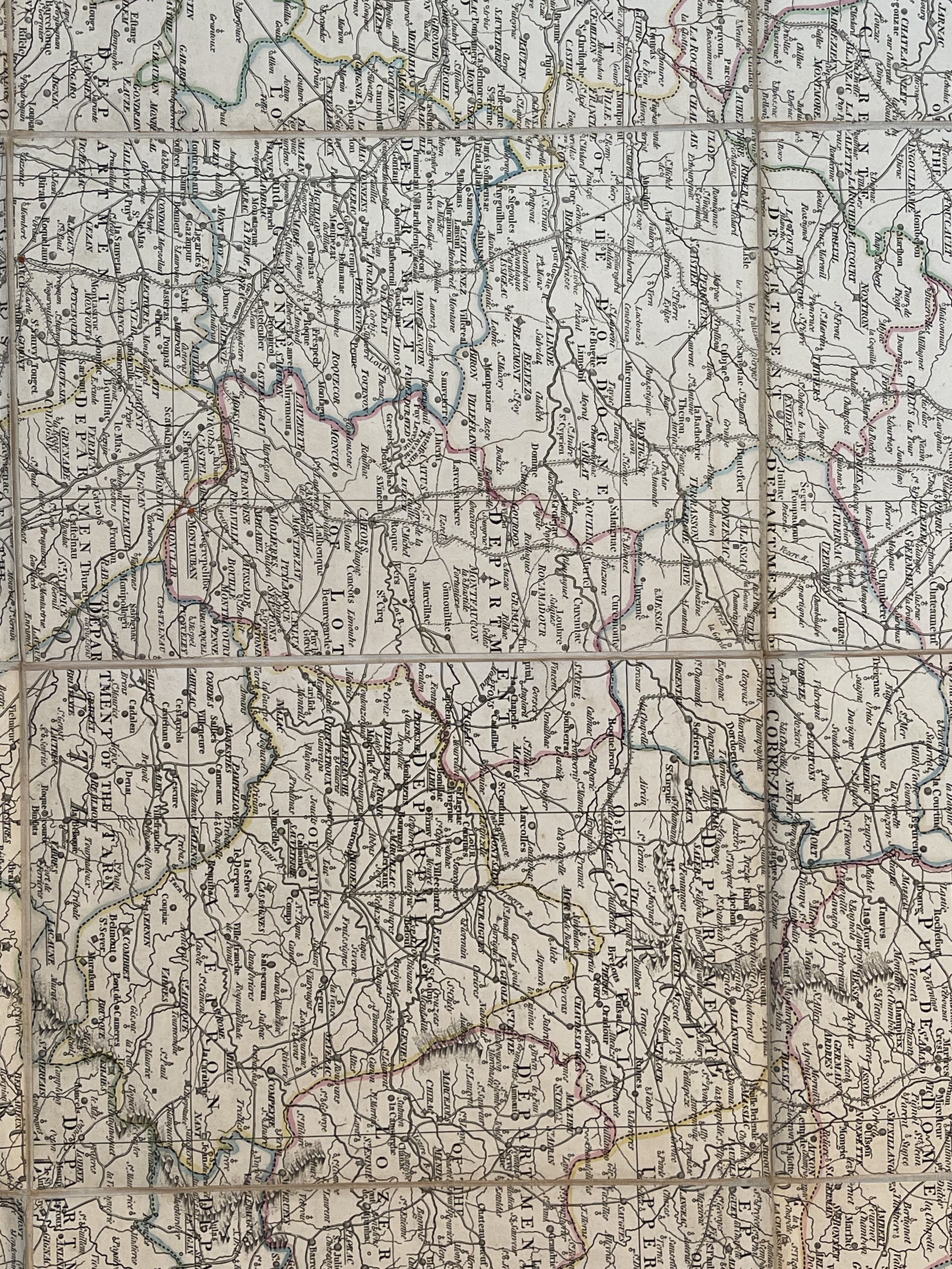 Image 15 of 48
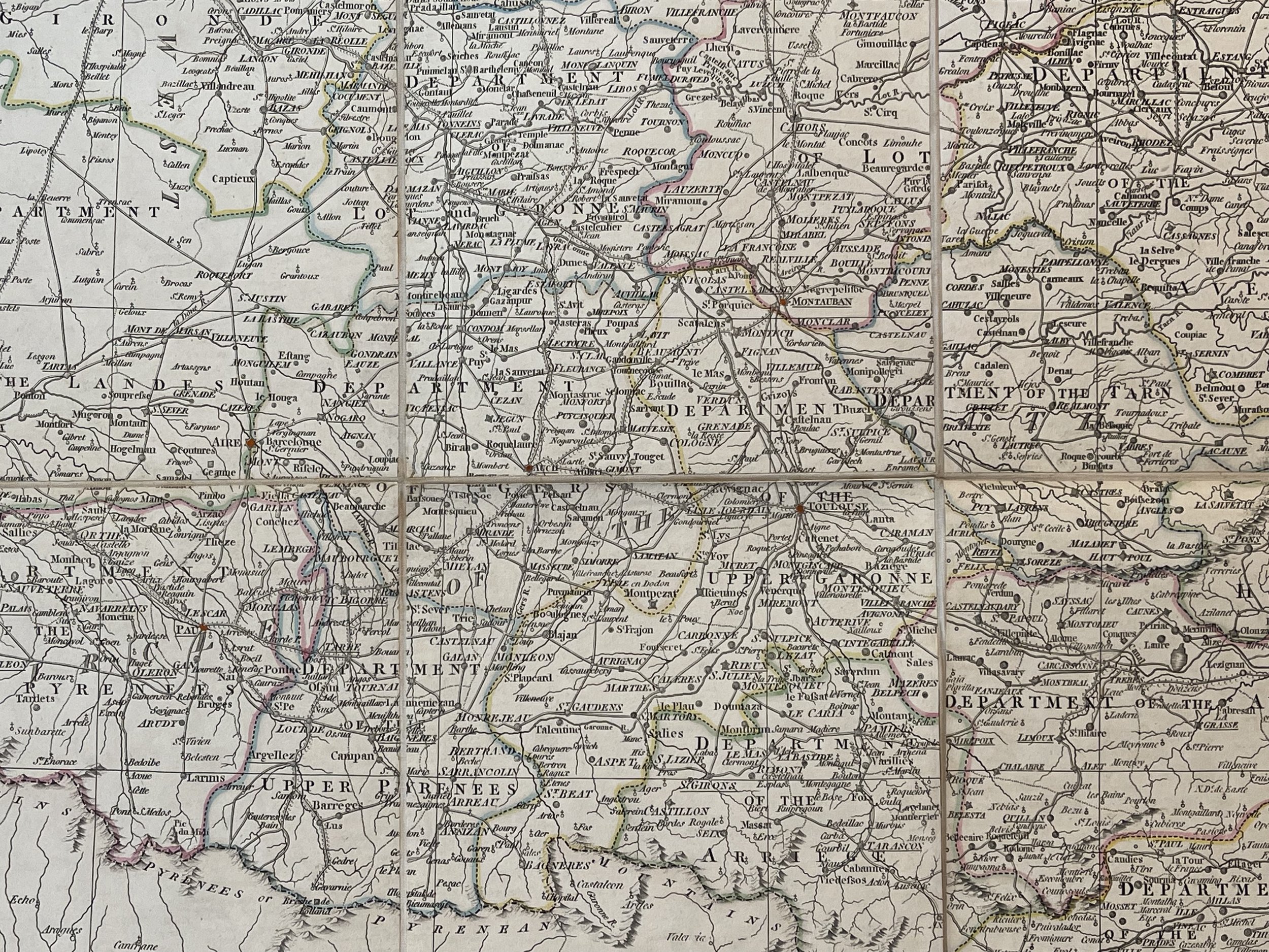 Image 16 of 48
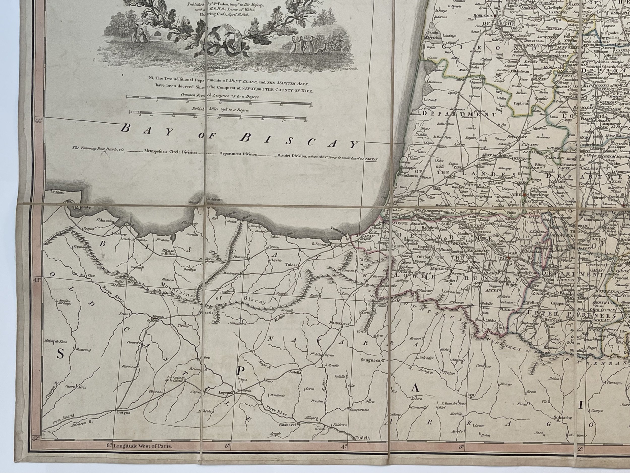 Image 17 of 48
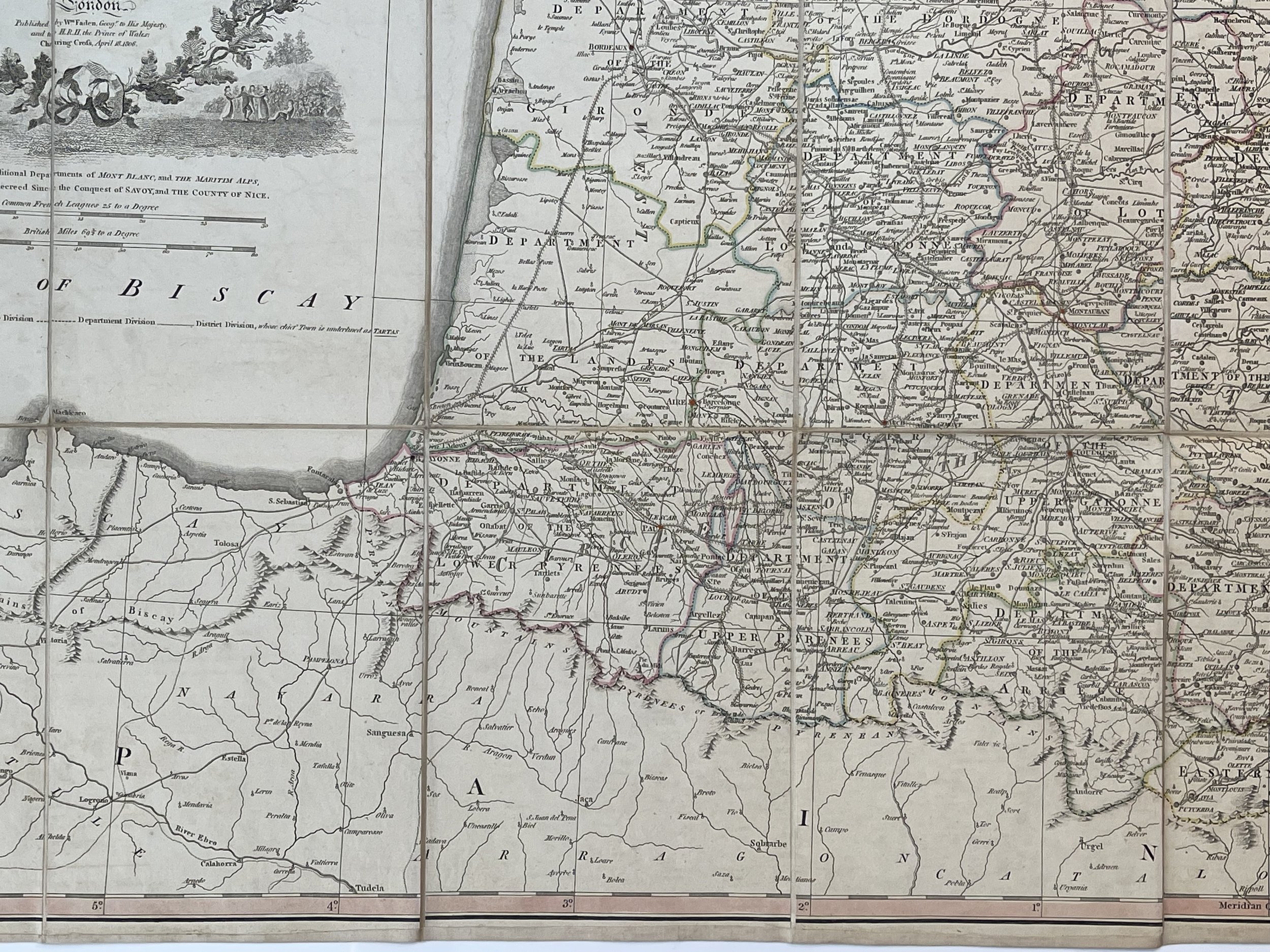 Image 18 of 48
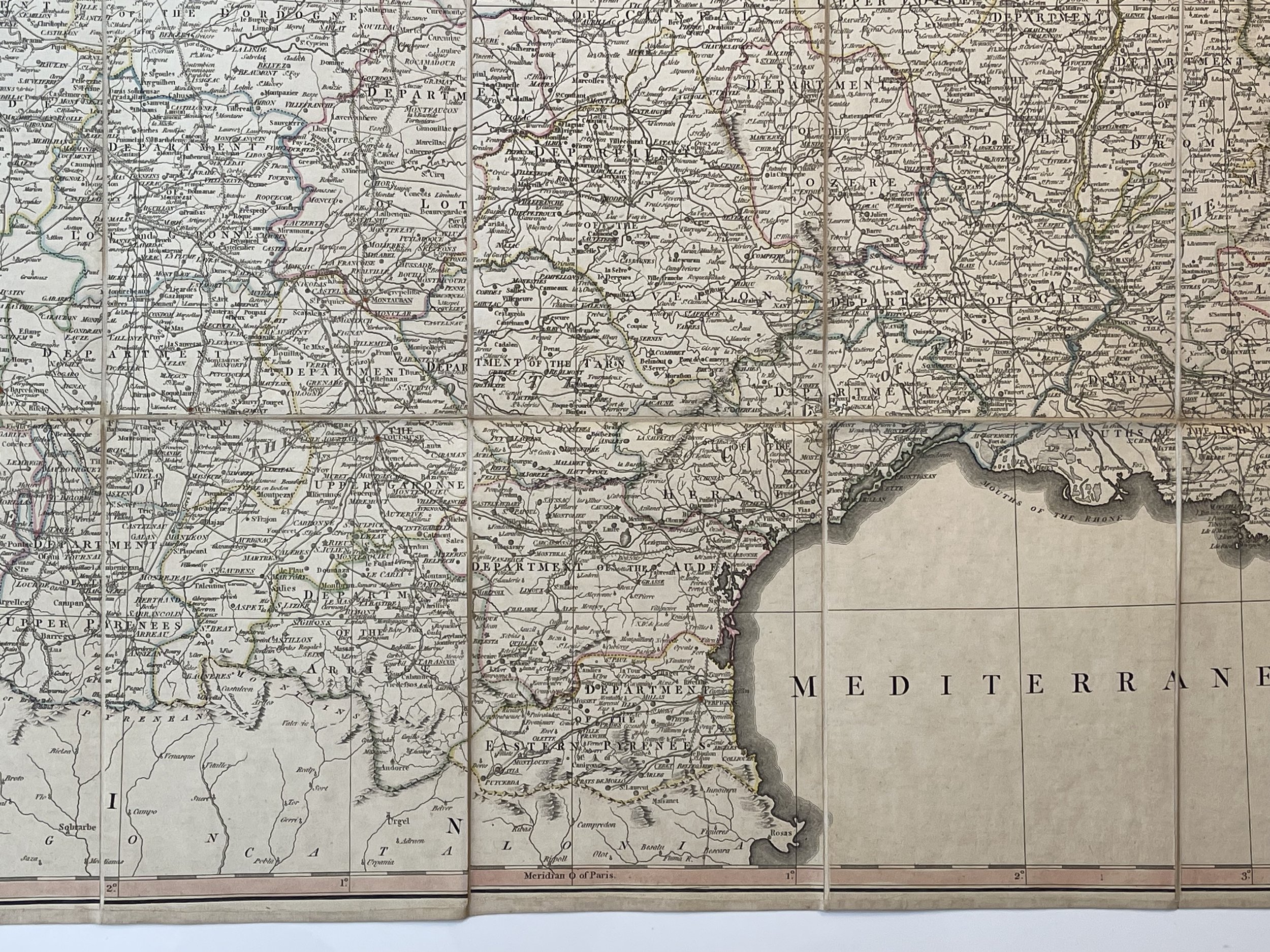 Image 19 of 48
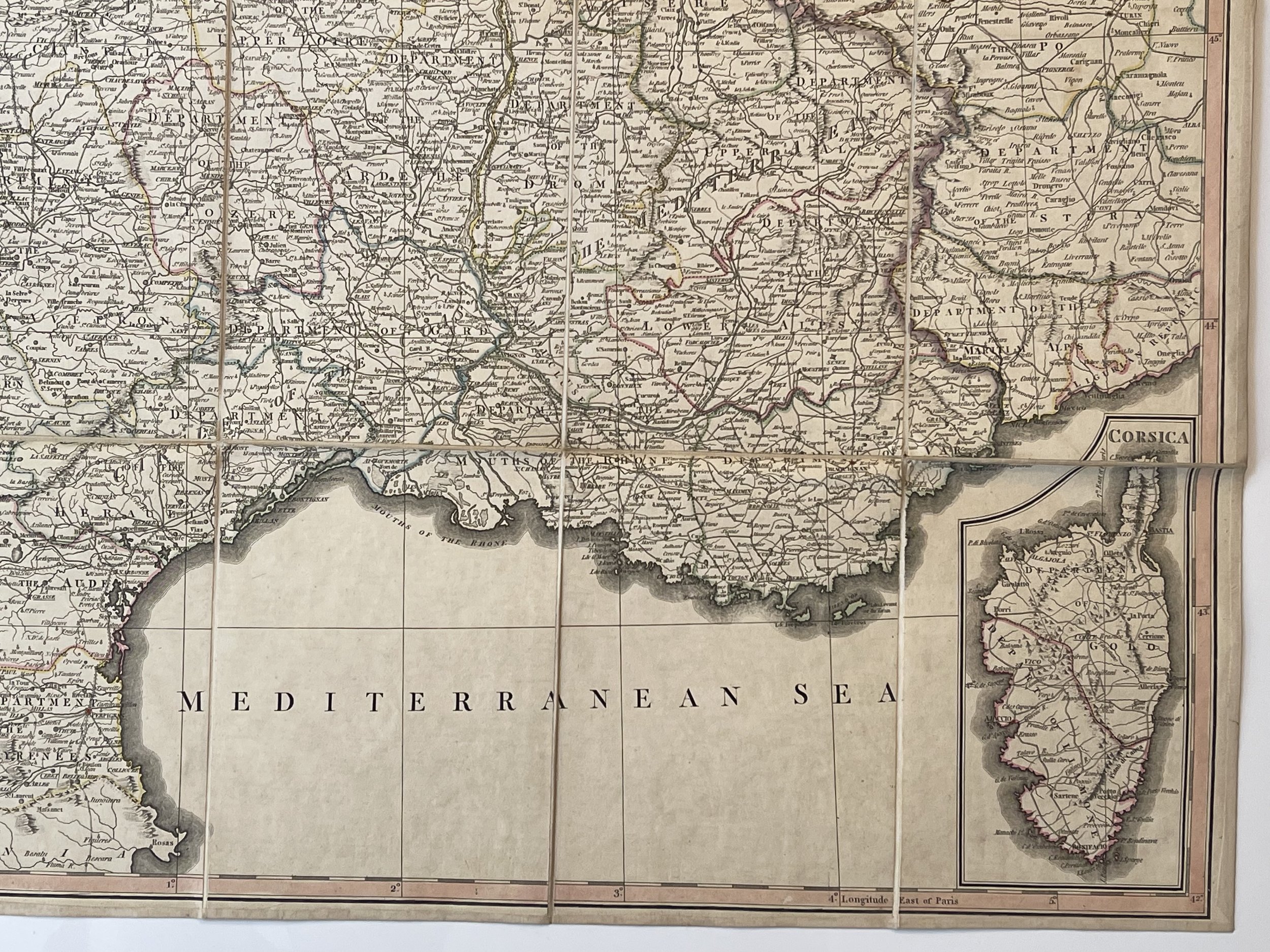 Image 20 of 48
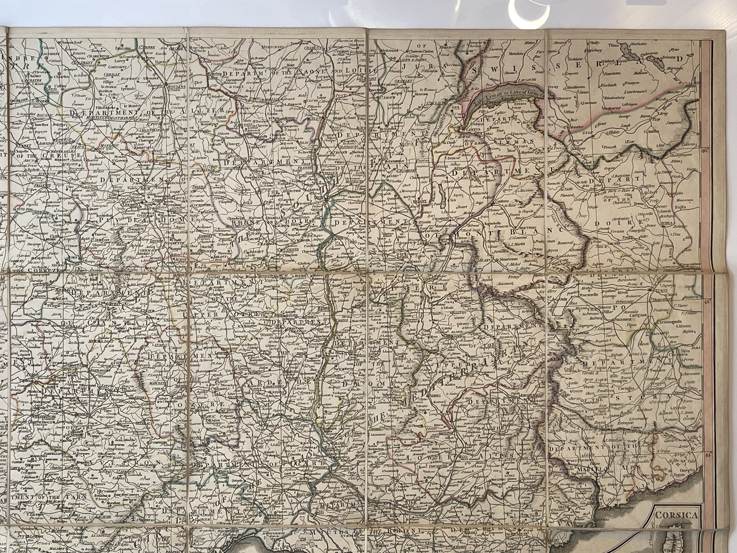 Image 21 of 48
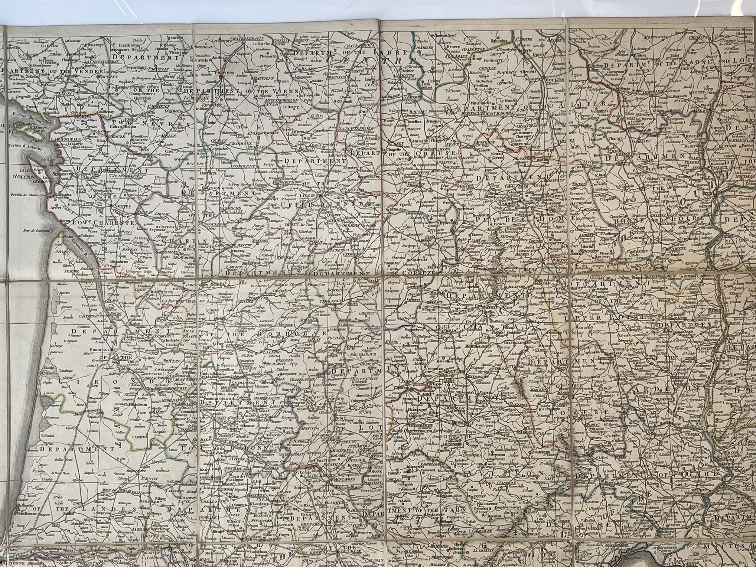 Image 22 of 48
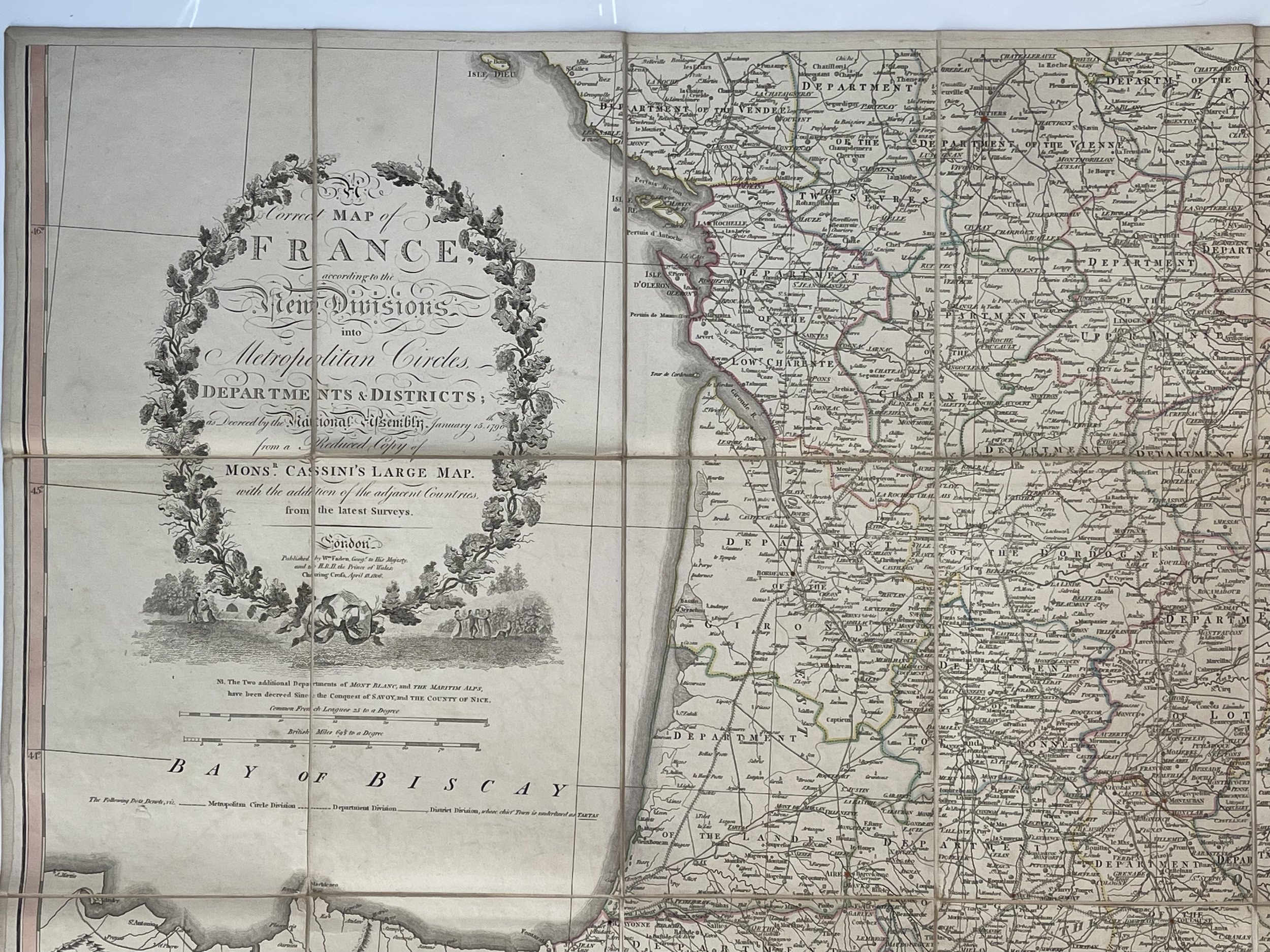 Image 23 of 48
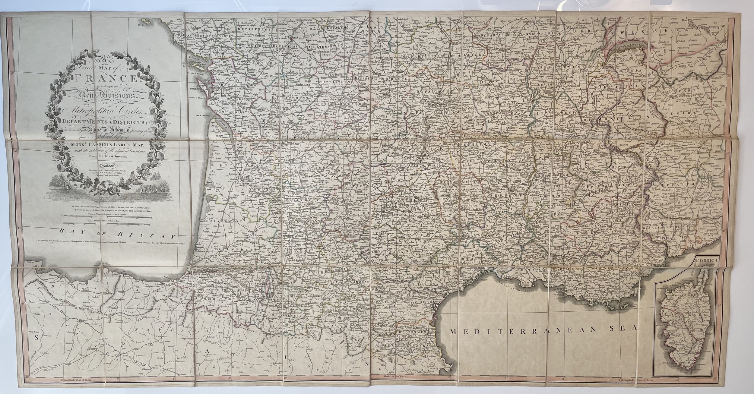 Image 24 of 48
 Image 25 of 48
 Image 26 of 48
 Image 27 of 48
 Image 28 of 48
 Image 29 of 48
 Image 30 of 48
 Image 31 of 48
 Image 32 of 48
 Image 33 of 48
 Image 34 of 48
 Image 35 of 48
 Image 36 of 48
 Image 37 of 48
 Image 38 of 48
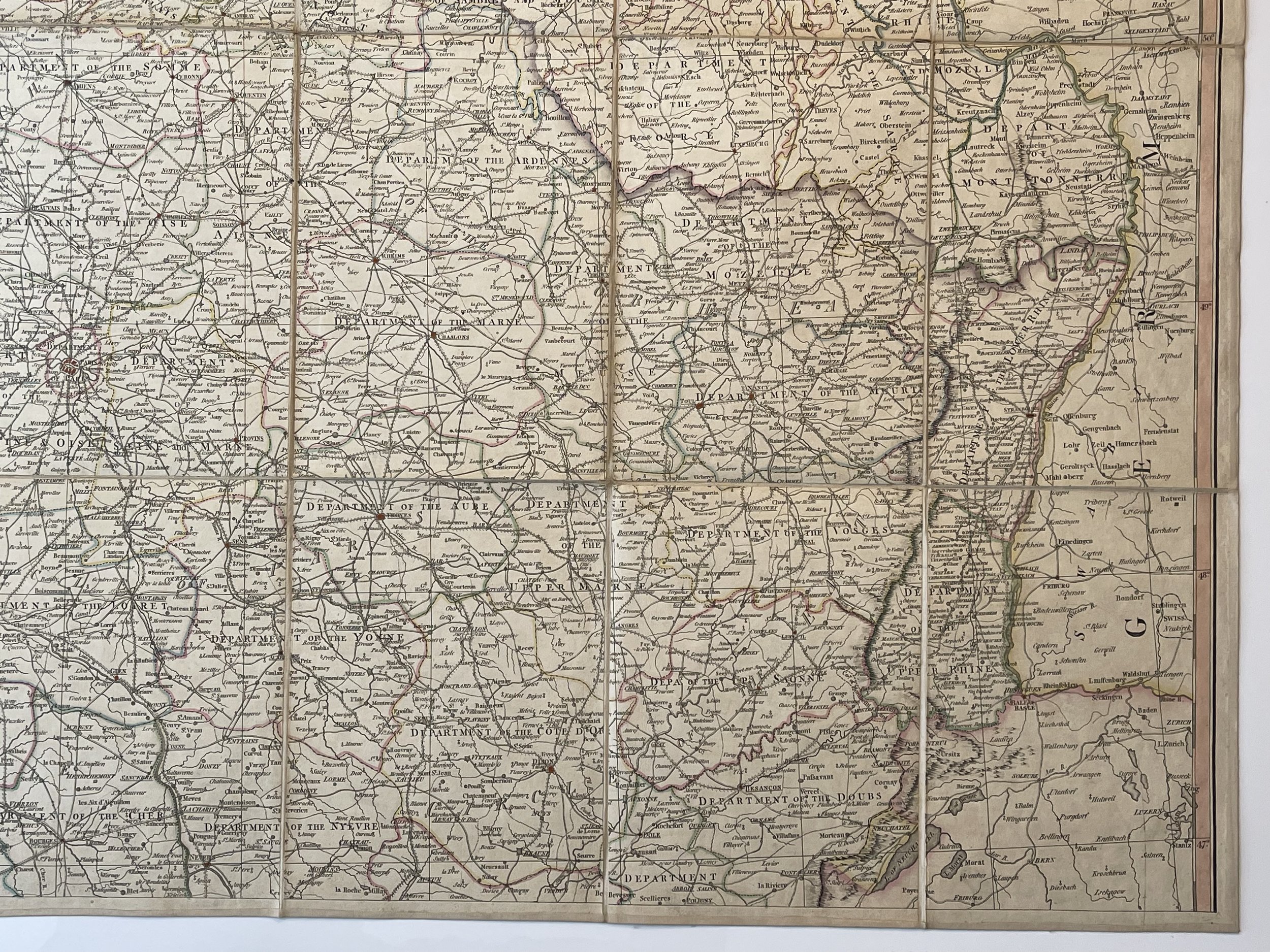 Image 39 of 48
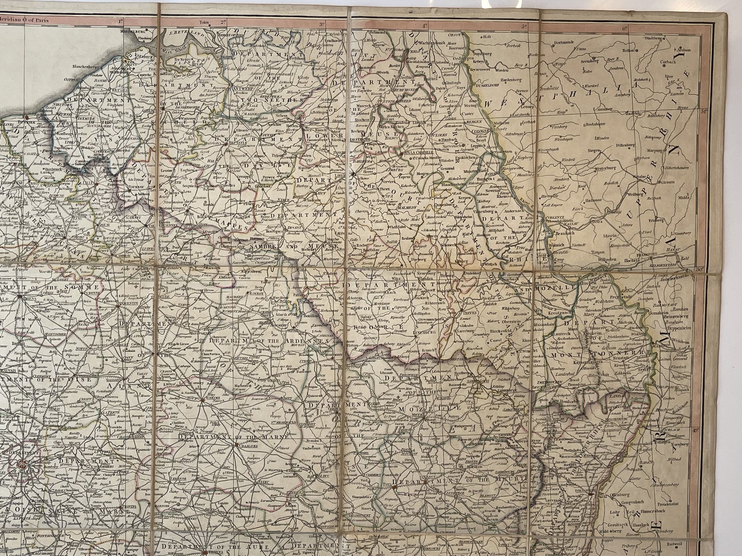 Image 40 of 48
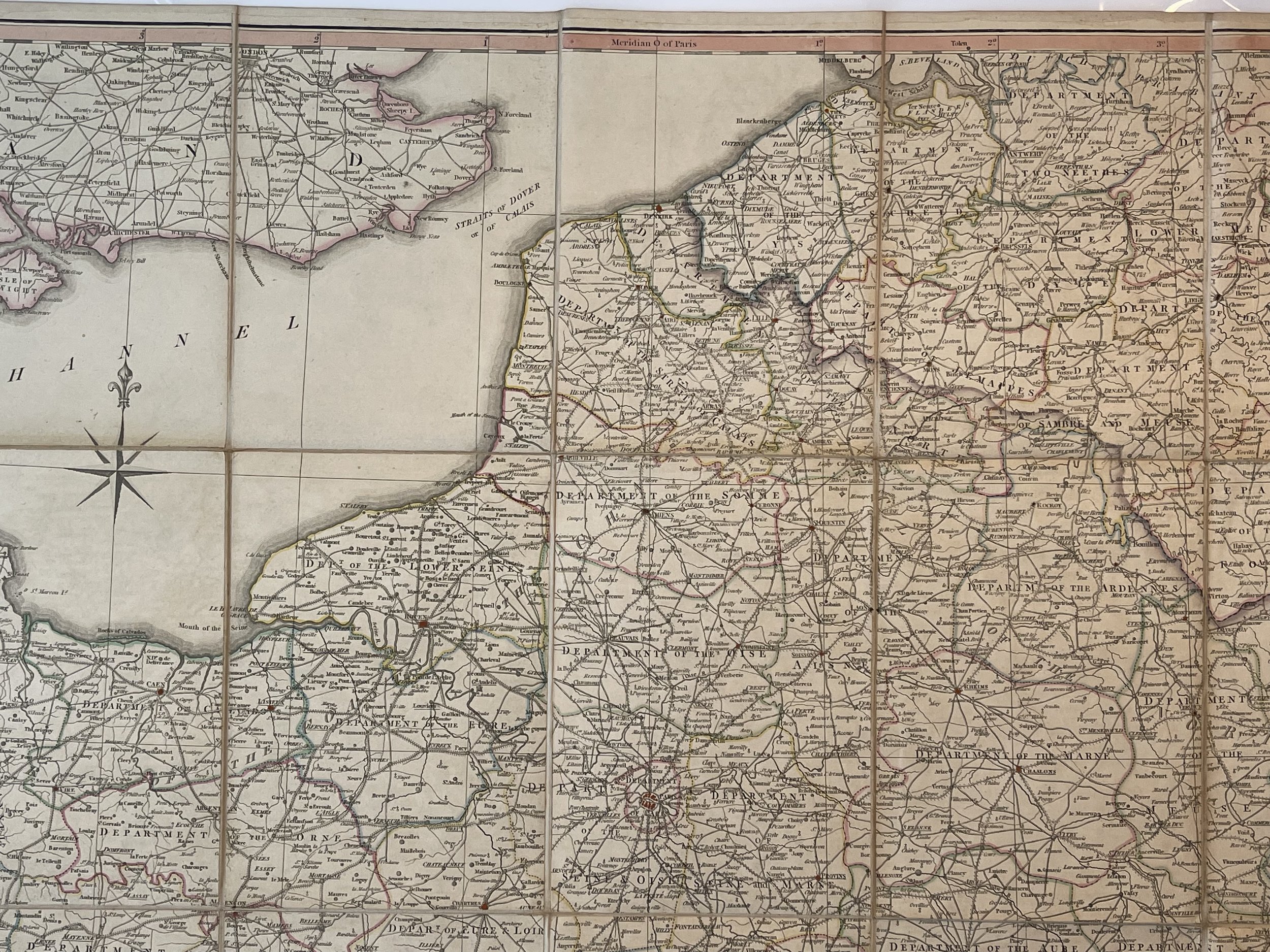 Image 41 of 48
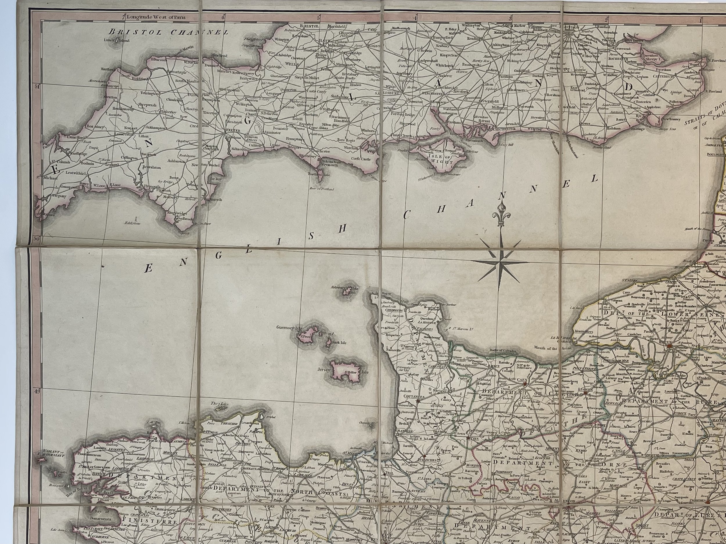 Image 42 of 48
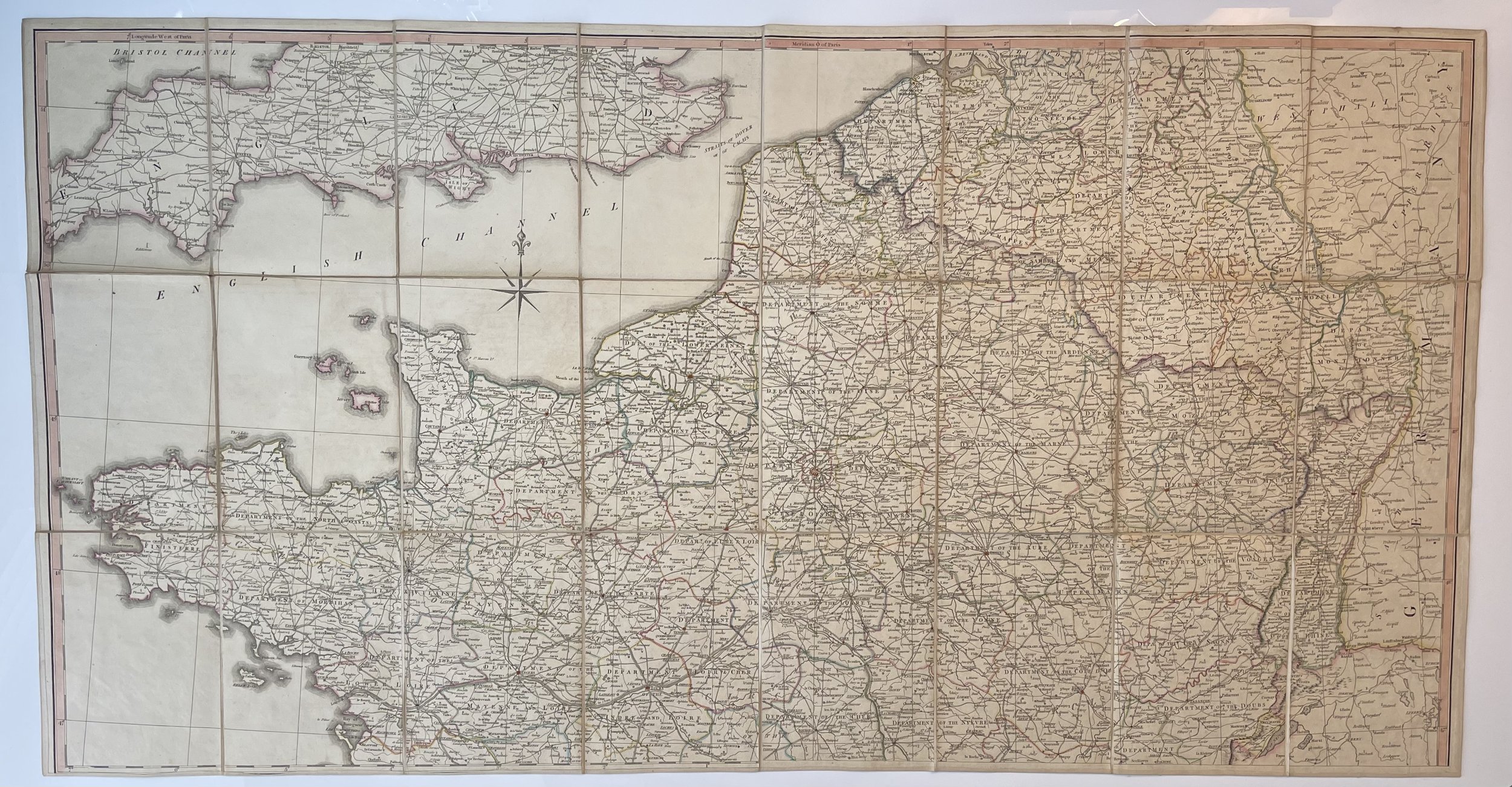 Image 43 of 48
 Image 44 of 48
 Image 45 of 48
 Image 46 of 48
 Image 47 of 48
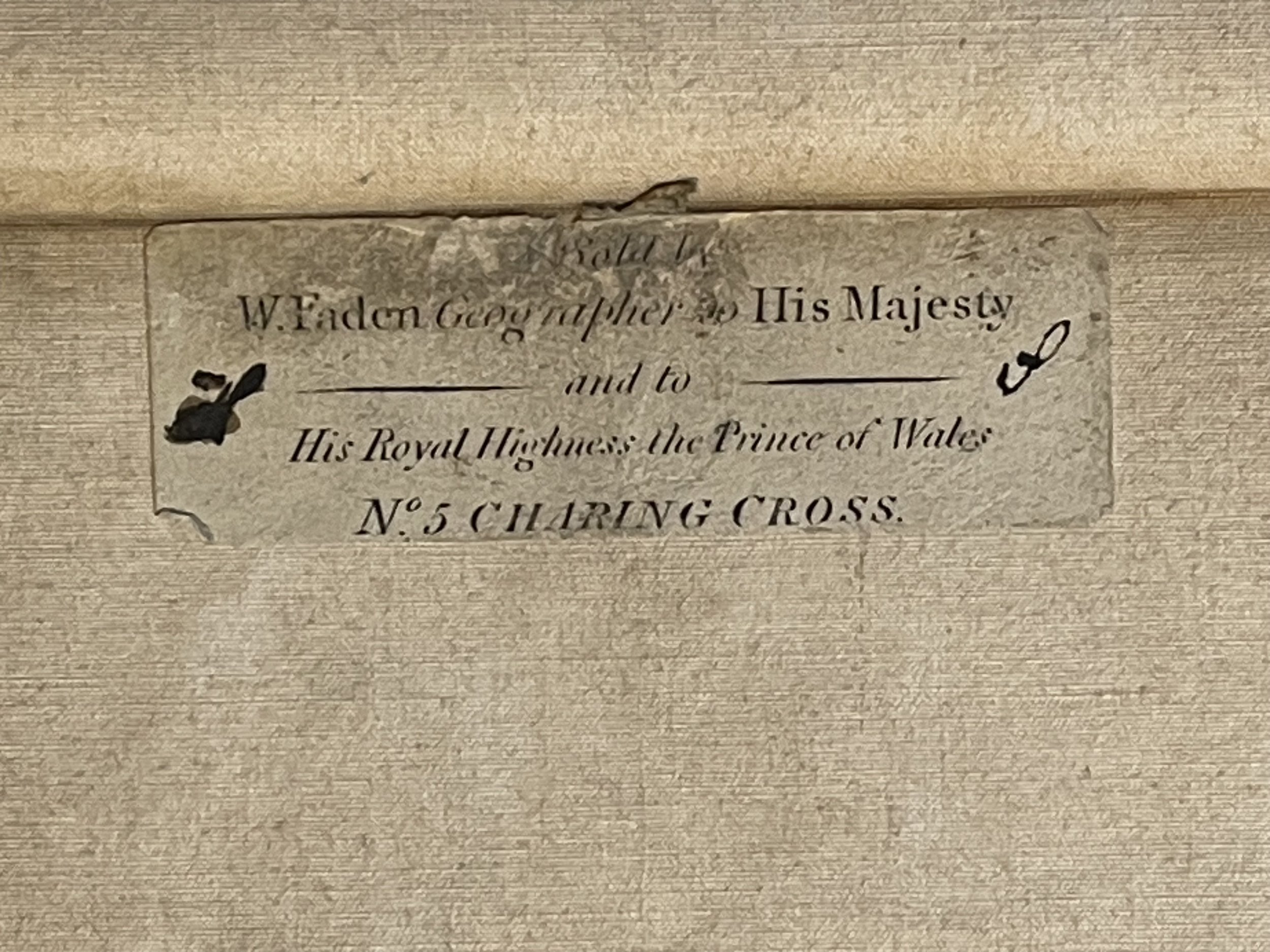 Image 48 of 48
Code : A1094
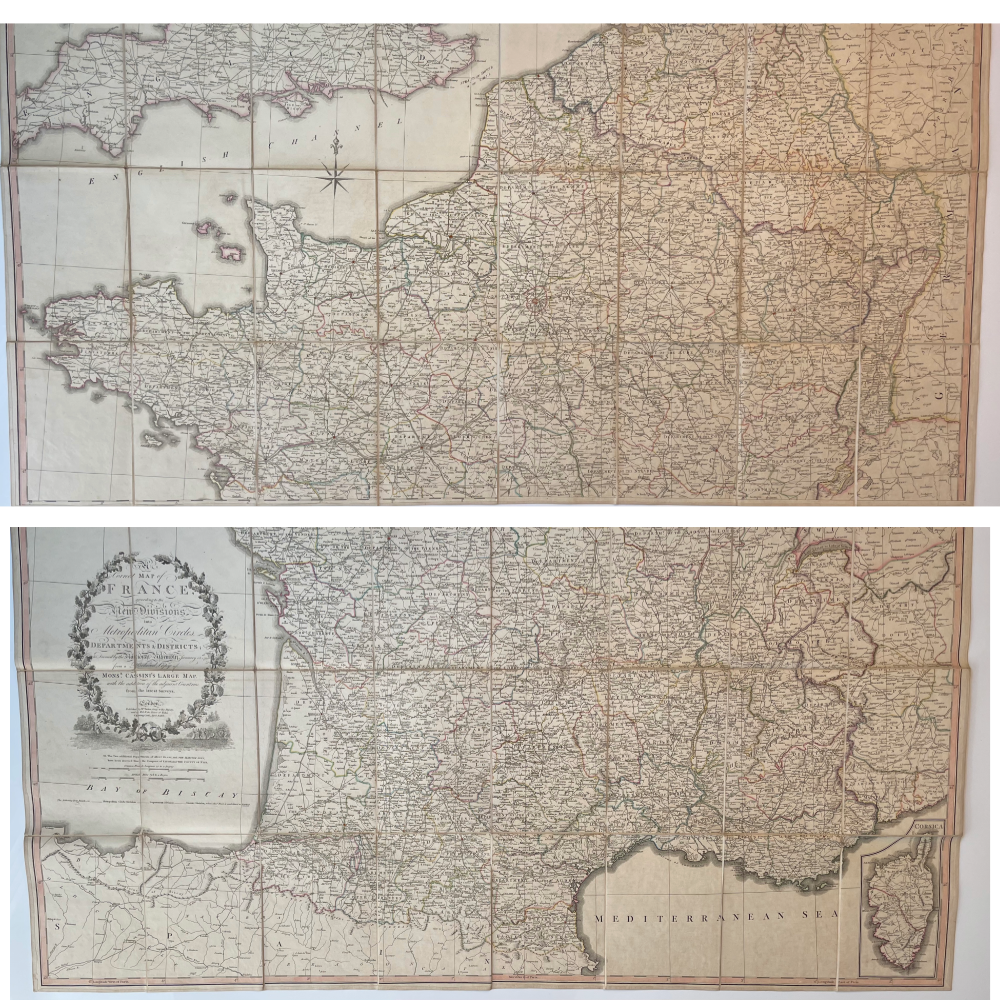
Cartographer : Cartographer / Engraver / Publisher: William Faden
Date : Publication Place / Date - Circa 1806
Size : Sheet size: approx 128 x 117.5 Cm
Availability : Available
Type - Genuine - Antique
Grading A
Where Applicable - Folds as issued. Light box photo shows the folio leaf centre margin hinge ‘glue’, this is not visible otherwise.
Tracked postage, in casement. Please contact me for postal quotation outside of the UK.