https://www.peninsulapmg.com/foo.html     2022-06-04  
Skip to Content
Peninsula Maps & Globes
Home
Shop
About
Contact
English
0
0
Peninsula Maps & Globes
Home
Shop
About
Contact
English
0
0
Home
Shop
About
Contact
English
Back
Peninsula Shop Flanders Belgium - Willem Janszoon Blaeu - Amsterdam 1645
IMG_8079.jpeg Image 1 of 13
IMG_8079.jpeg
IMG_8091.jpeg Image 2 of 13
IMG_8091.jpeg
IMG_8088.jpeg Image 3 of 13
IMG_8088.jpeg
IMG_8086.jpeg Image 4 of 13
IMG_8086.jpeg
IMG_8085.jpeg Image 5 of 13
IMG_8085.jpeg
IMG_8087.jpeg Image 6 of 13
IMG_8087.jpeg
IMG_8089.jpeg Image 7 of 13
IMG_8089.jpeg
IMG_8090.jpeg Image 8 of 13
IMG_8090.jpeg
IMG_8082.jpeg Image 9 of 13
IMG_8082.jpeg
IMG_8080.jpeg Image 10 of 13
IMG_8080.jpeg
IMG_8083.jpeg Image 11 of 13
IMG_8083.jpeg
IMG_8081.jpeg Image 12 of 13
IMG_8081.jpeg
IMG_8084.jpeg Image 13 of 13
IMG_8084.jpeg
IMG_8079.jpeg
IMG_8091.jpeg
IMG_8088.jpeg
IMG_8086.jpeg
IMG_8085.jpeg
IMG_8087.jpeg
IMG_8089.jpeg
IMG_8090.jpeg
IMG_8082.jpeg
IMG_8080.jpeg
IMG_8083.jpeg
IMG_8081.jpeg
IMG_8084.jpeg

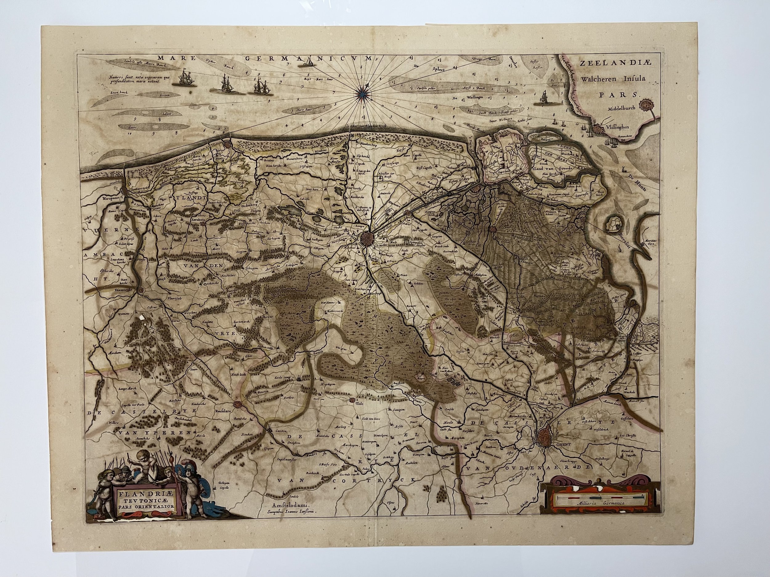
Flanders Belgium - Willem Janszoon Blaeu - Amsterdam 1645

£175.00

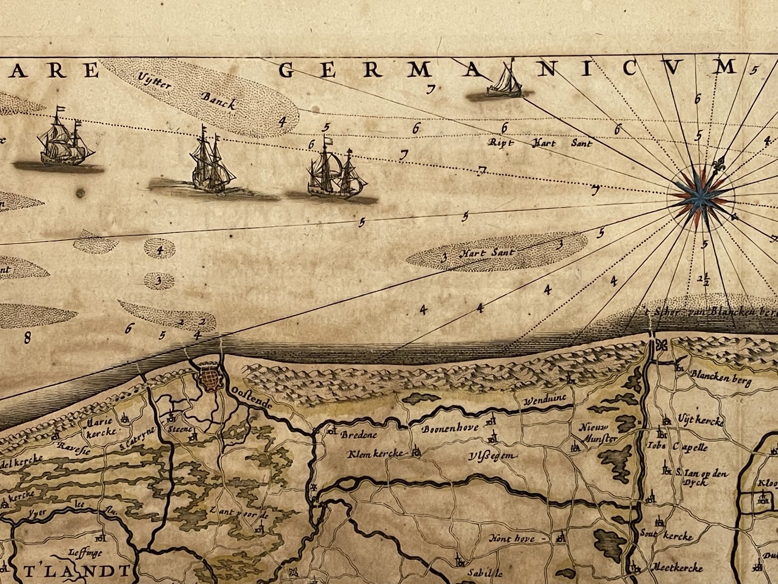
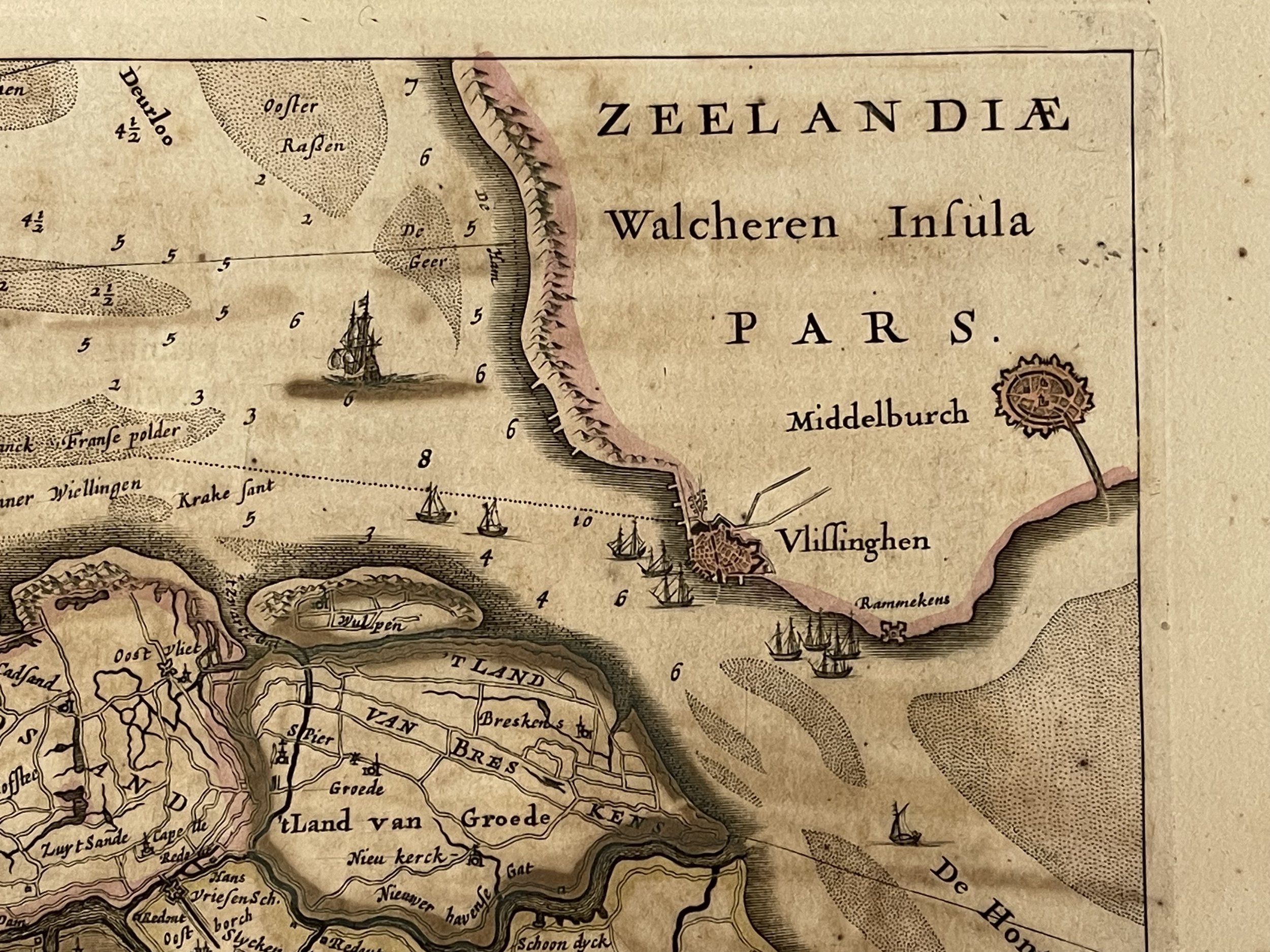
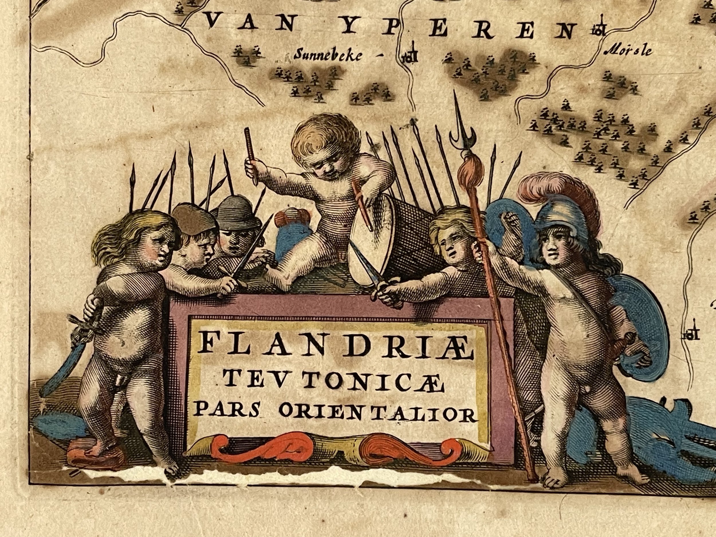
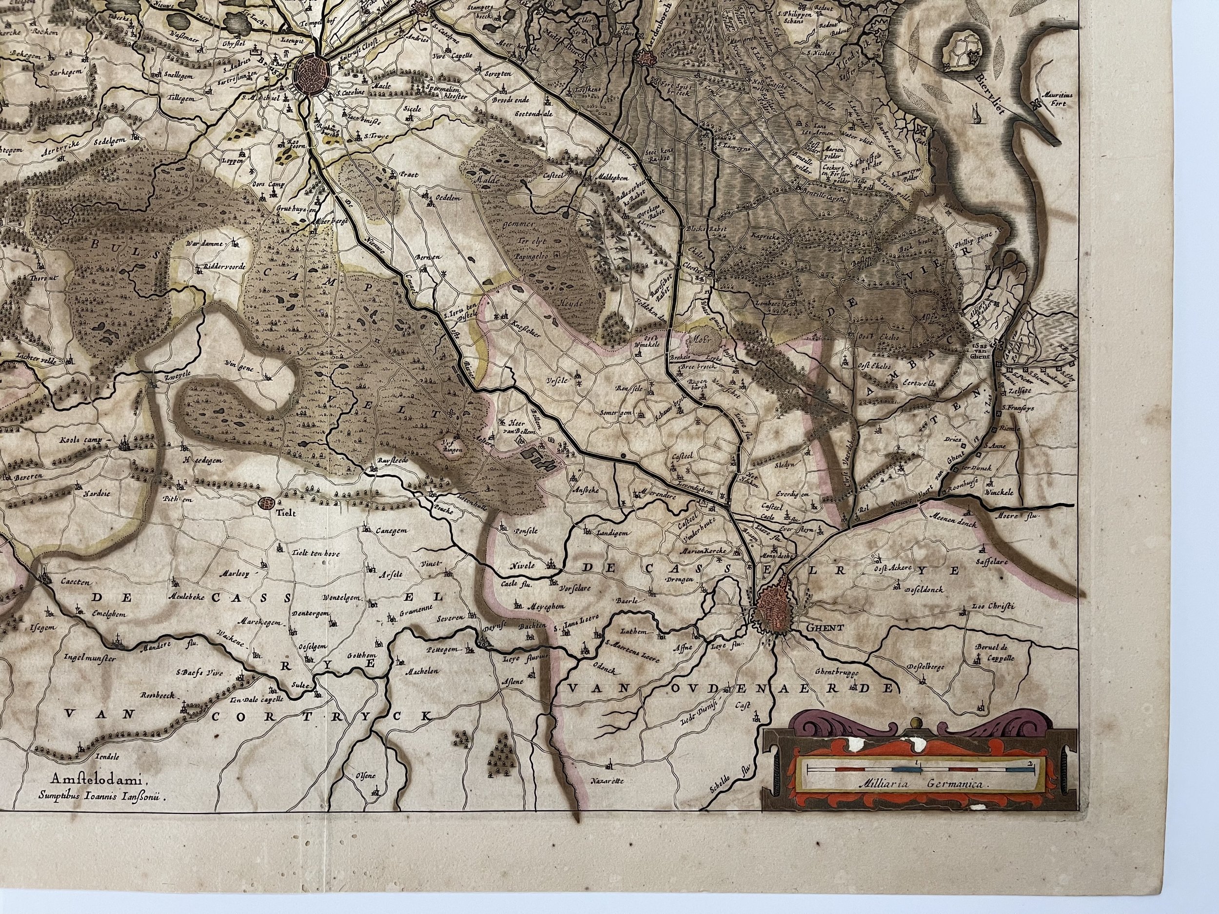
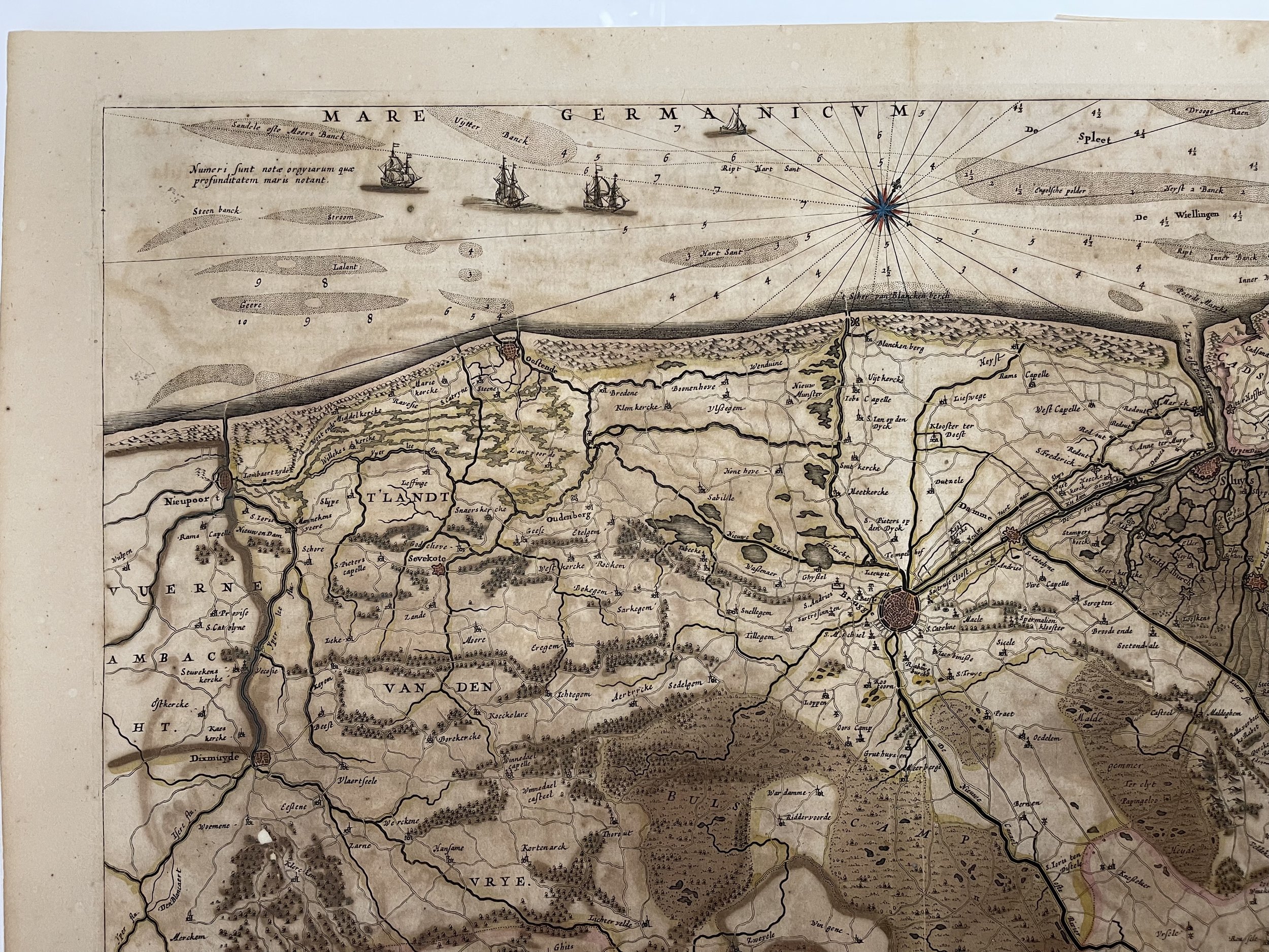
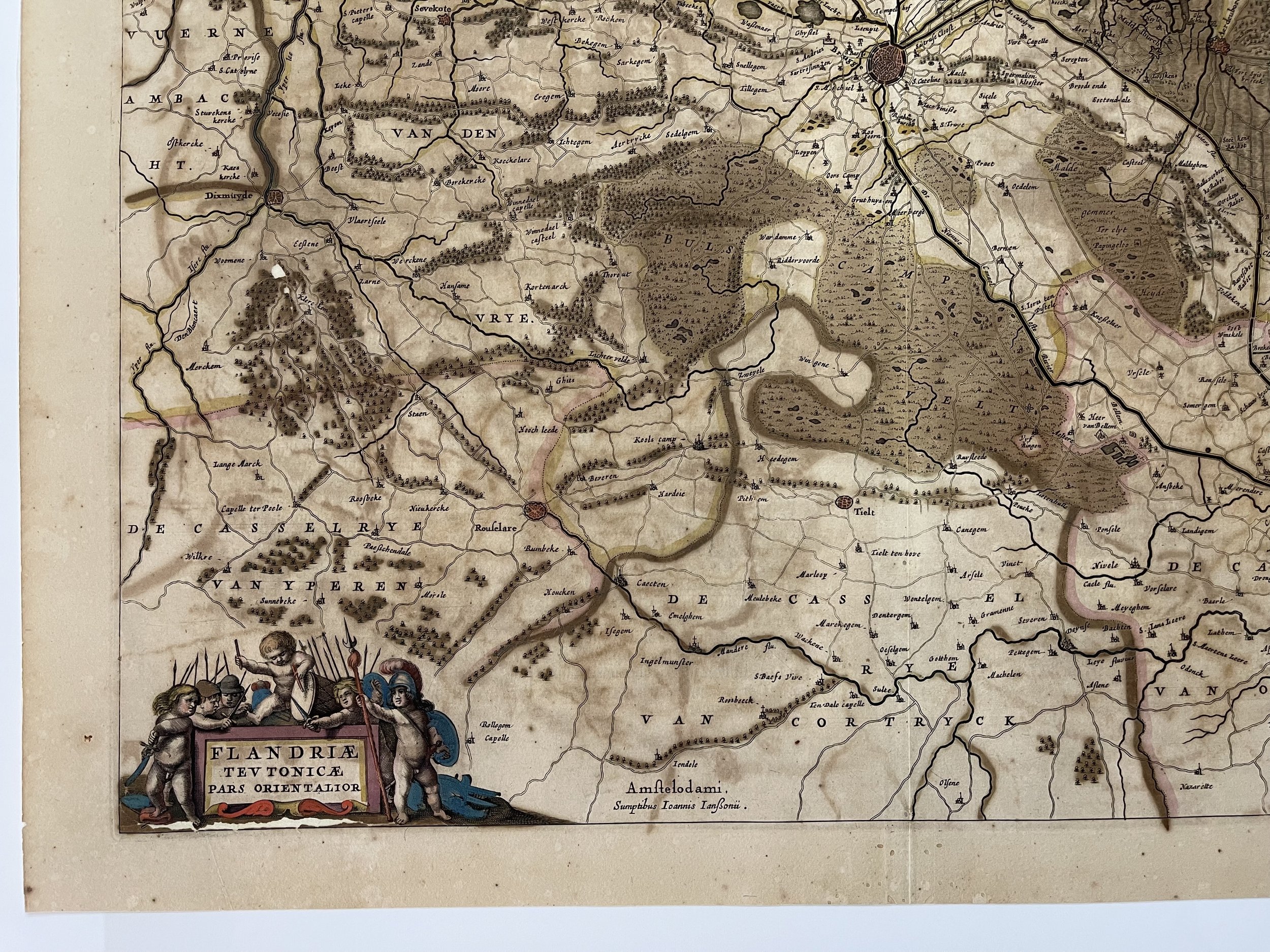
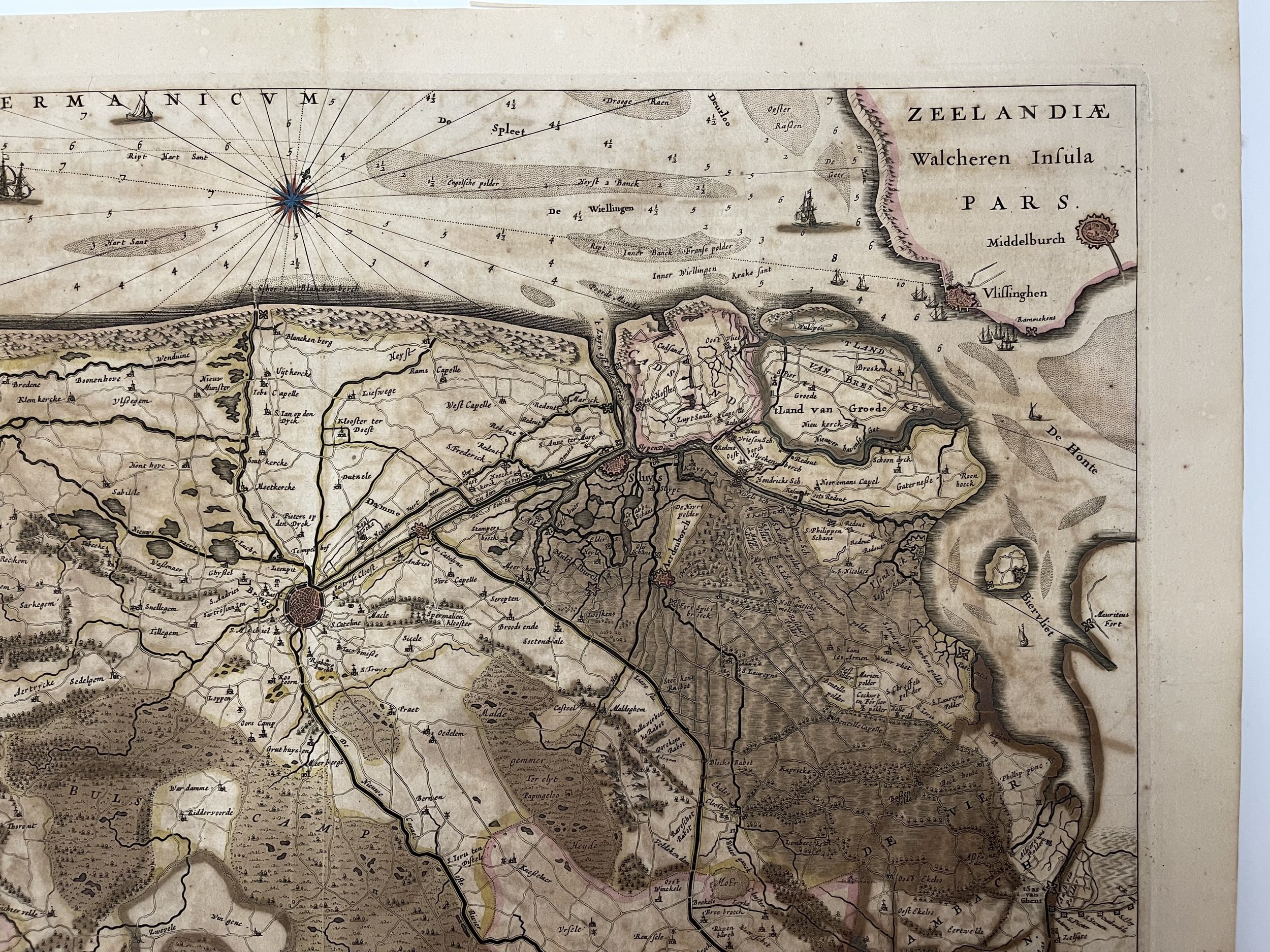
ZEELANDIAE Walcheren Infula PARS. Flandriae Teutonicae Pars Orientalior. Flanders Belgium.

Willem Janszoon BLAEU (Uitgeest 1571- Amsterdam 1638)

This map shows part of the Duchy of Flanders, of which some is currently situated in France. The western part of Teutonic Flanders, spreading from Nieuwpoort to Gravelines, follows the 'Flandriae Teutonicae Pars Orientalior'. From the latin edition of Atlas Novus.

Willem Janszoon Blaeu, started in 1599 his business as a builder of globes and astronomical instruments in Amsterdam. In 1630, after buying some plates of the Mercator atlas from Jodocus Hondius II, he was able to publish a volume of 60 maps under the title Atlantis Appendix. Five years later, he published the first two volumes of his atlas Atlas Novus or Theatrum Orbis Terrarum, in six books. After his death, Joan (Johannes) continued his father's work, completing the entire six-volume Atlas Novus series around 1655. He was also the author of an Atlas Maior sive Cosmographia Blaviana, in 12 volumes published in 1662 -72.

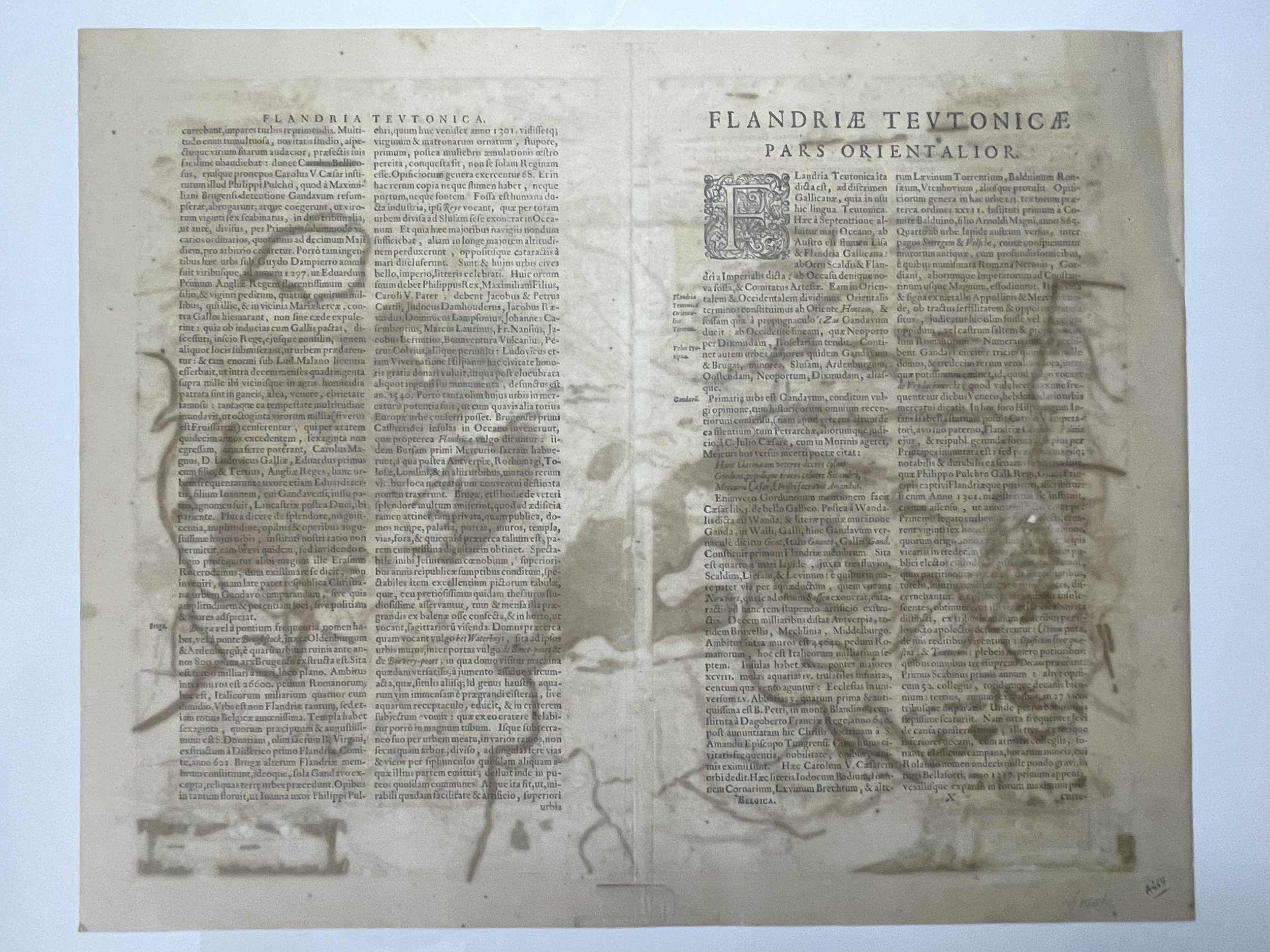
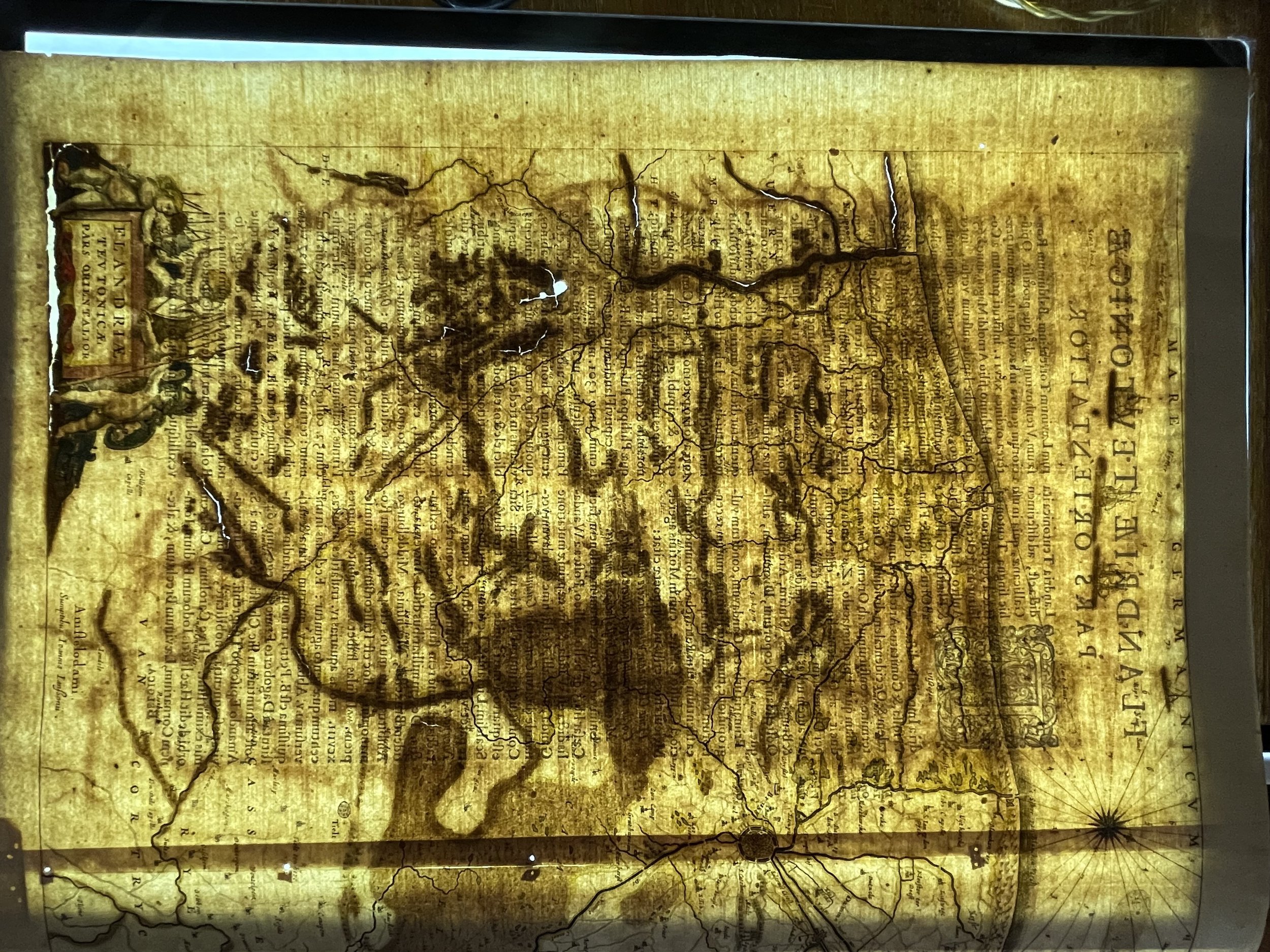
Beautiful copperplate engraving with original colour, good conditions. Map shows ink oxidisation indicative of age, this is common. Lightbox shows areas of the plate that are thinning. Plate engraving is is good condition. Pricing and grading commensurate.

Add To Cart

ZEELANDIAE Walcheren Infula PARS. Flandriae Teutonicae Pars Orientalior. Flanders Belgium.

Willem Janszoon BLAEU (Uitgeest 1571- Amsterdam 1638)

This map shows part of the Duchy of Flanders, of which some is currently situated in France. The western part of Teutonic Flanders, spreading from Nieuwpoort to Gravelines, follows the 'Flandriae Teutonicae Pars Orientalior'. From the latin edition of Atlas Novus.

Willem Janszoon Blaeu, started in 1599 his business as a builder of globes and astronomical instruments in Amsterdam. In 1630, after buying some plates of the Mercator atlas from Jodocus Hondius II, he was able to publish a volume of 60 maps under the title Atlantis Appendix. Five years later, he published the first two volumes of his atlas Atlas Novus or Theatrum Orbis Terrarum, in six books. After his death, Joan (Johannes) continued his father's work, completing the entire six-volume Atlas Novus series around 1655. He was also the author of an Atlas Maior sive Cosmographia Blaviana, in 12 volumes published in 1662 -72.

Beautiful copperplate engraving with original colour, good conditions. Map shows ink oxidisation indicative of age, this is common. Lightbox shows areas of the plate that are thinning. Plate engraving is is good condition. Pricing and grading commensurate.

Code : A664

Cartographer : Cartographer / Engraver / Publisher: Willem Janszoon Blaeu

Date : Publication Place / Date - Circa 1645

Size : Sheet size: Image Size:   58 x 47.5 cm

Availability : Available

Type - Genuine - Antique

Grading B+

Where Applicable - Folds as issued. Light box photo shows the folio leaf centre margin hinge ‘glue’, this is not visible otherwise.

Tracked postage, in casement. Please contact me for postal quotation outside of the UK. 
Peninsula Maps & Globes - London England

Made with Squarespace

Contact: pmgmapsandglobes01@gmail.com