https://www.peninsulapmg.com/foo.html     2022-06-04  
Skip to Content
Peninsula Maps & Globes
Home
Shop
About
Contact
English
0
0
Peninsula Maps & Globes
Home
Shop
About
Contact
English
0
0
Home
Shop
About
Contact
English
Back
Peninsula Shop A New Map of the Kingdom of Prussia - John Cary - 1799
IMG_8693.jpeg Image 1 of 15
IMG_8693.jpeg
IMG_8698.jpeg Image 2 of 15
IMG_8698.jpeg
IMG_8707.jpeg Image 3 of 15
IMG_8707.jpeg
IMG_8694.jpeg Image 4 of 15
IMG_8694.jpeg
IMG_8699.jpeg Image 5 of 15
IMG_8699.jpeg
IMG_8700.jpeg Image 6 of 15
IMG_8700.jpeg
IMG_8695.jpeg Image 7 of 15
IMG_8695.jpeg
IMG_8705.jpeg Image 8 of 15
IMG_8705.jpeg
IMG_8697.jpeg Image 9 of 15
IMG_8697.jpeg
IMG_8696.jpeg Image 10 of 15
IMG_8696.jpeg
IMG_8704.jpeg Image 11 of 15
IMG_8704.jpeg
IMG_8702.jpeg Image 12 of 15
IMG_8702.jpeg
IMG_8703.jpeg Image 13 of 15
IMG_8703.jpeg
IMG_8701.jpeg Image 14 of 15
IMG_8701.jpeg
IMG_8706.jpeg Image 15 of 15
IMG_8706.jpeg
IMG_8693.jpeg
IMG_8698.jpeg
IMG_8707.jpeg
IMG_8694.jpeg
IMG_8699.jpeg
IMG_8700.jpeg
IMG_8695.jpeg
IMG_8705.jpeg
IMG_8697.jpeg
IMG_8696.jpeg
IMG_8704.jpeg
IMG_8702.jpeg
IMG_8703.jpeg
IMG_8701.jpeg
IMG_8706.jpeg

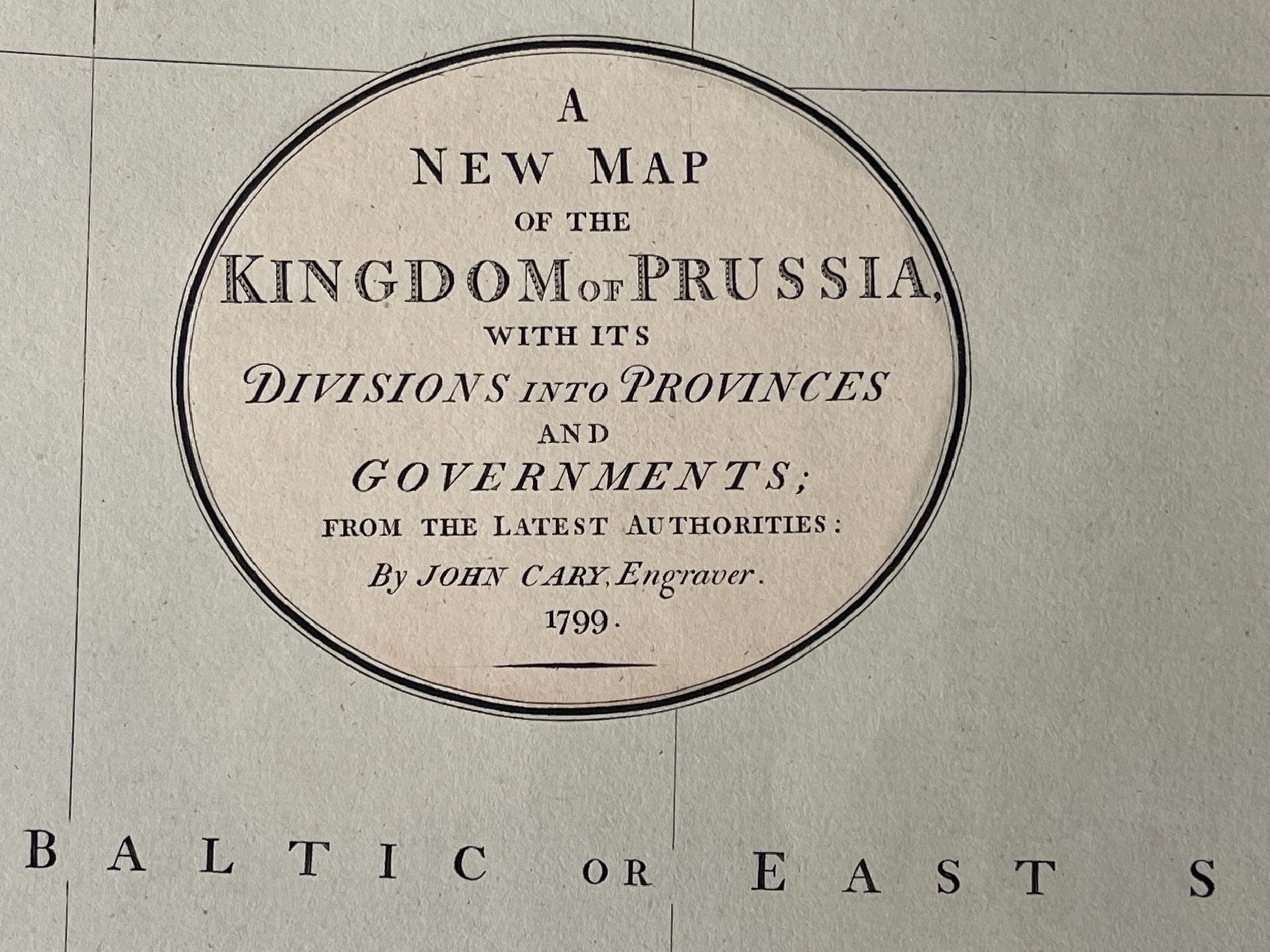
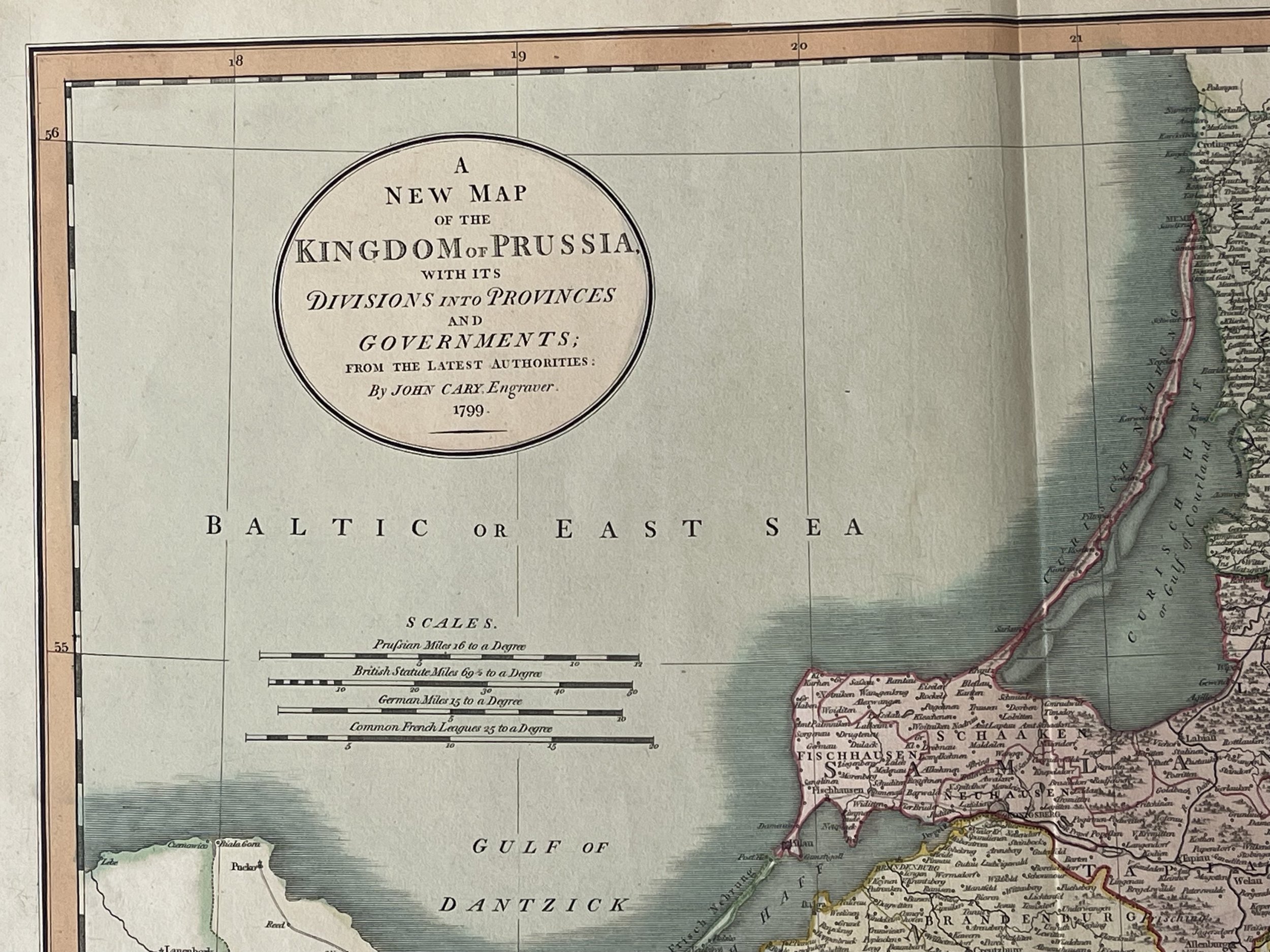
A New Map of the Kingdom of Prussia - John Cary - 1799

£300.00

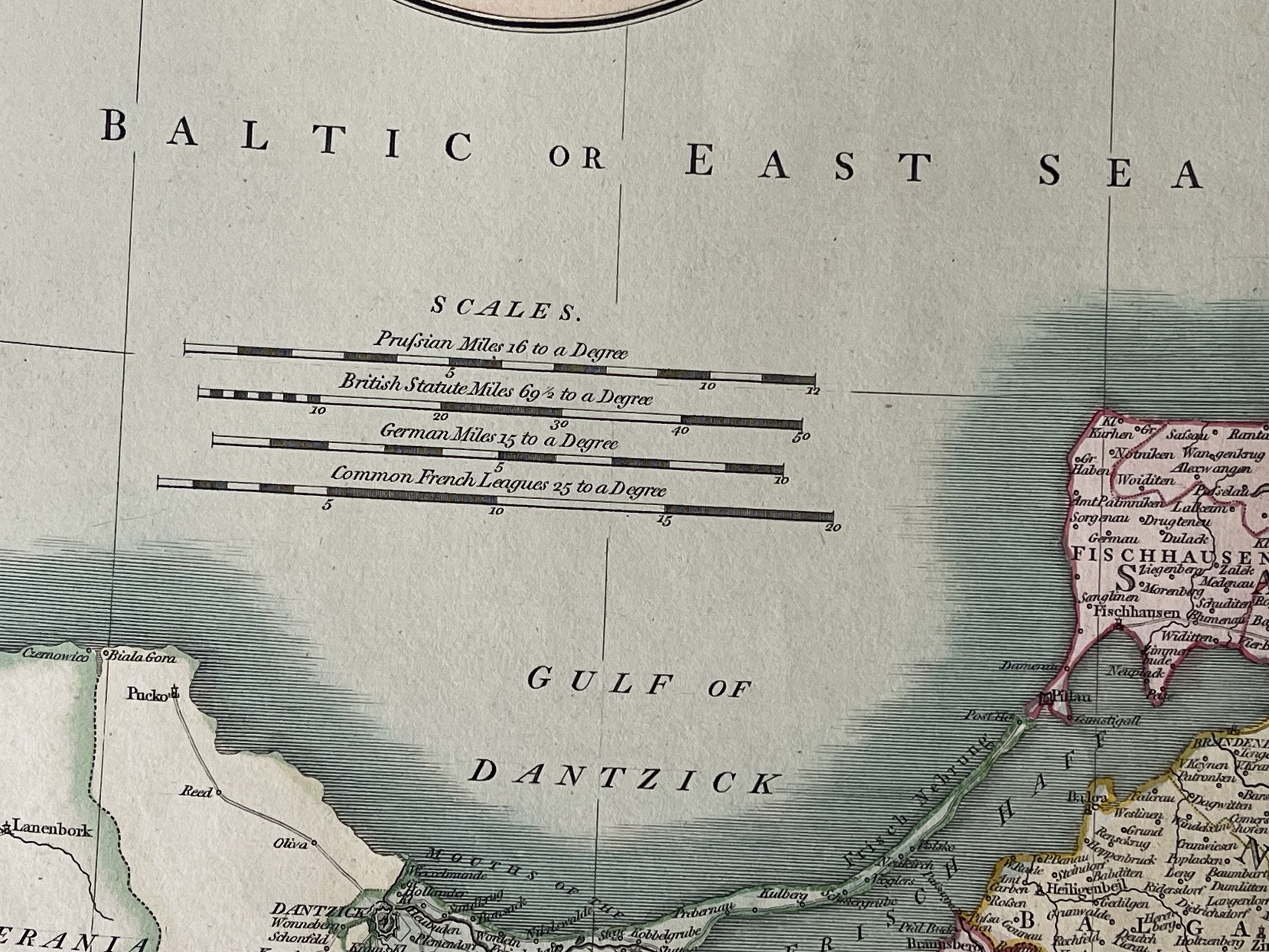
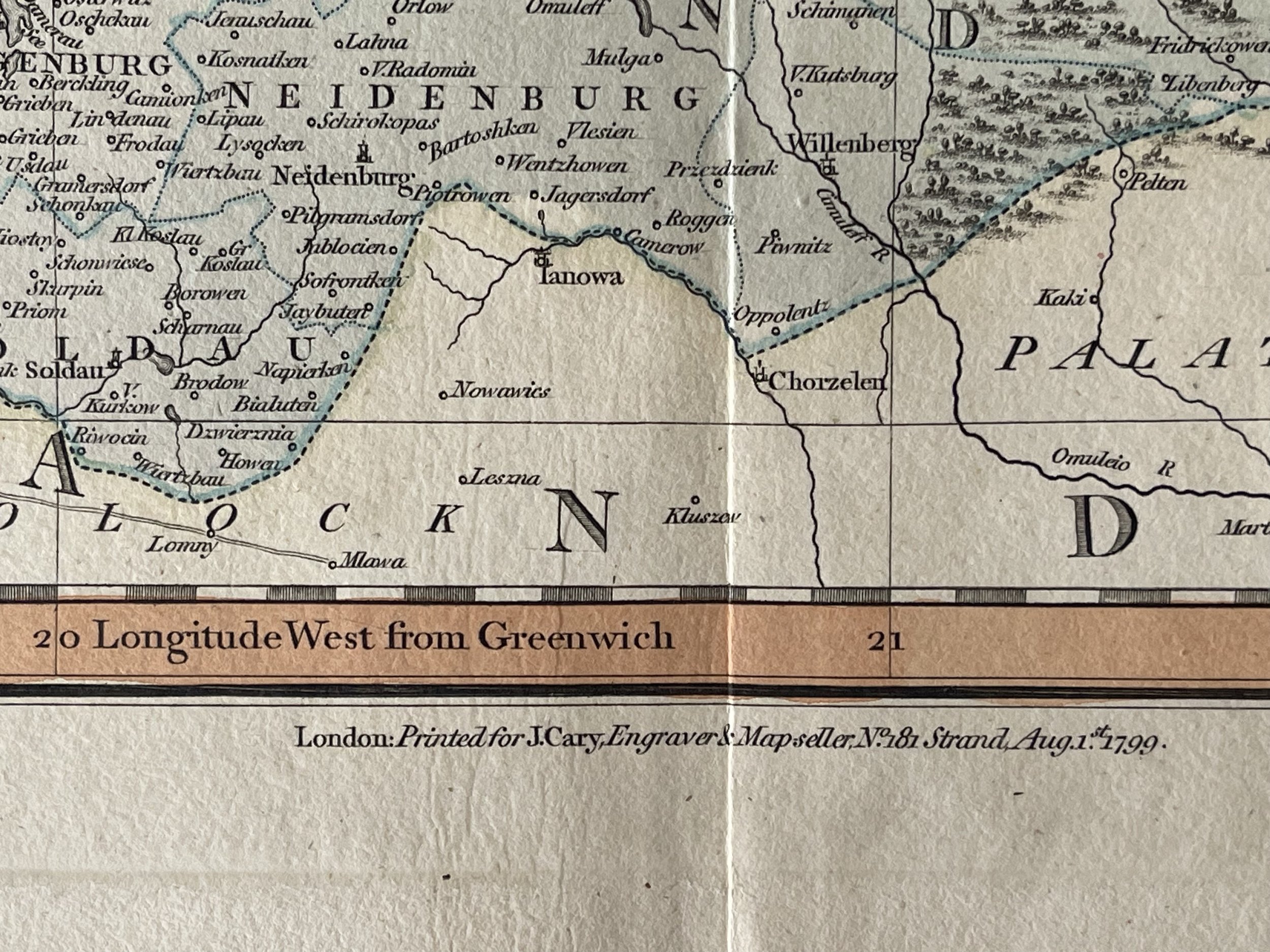
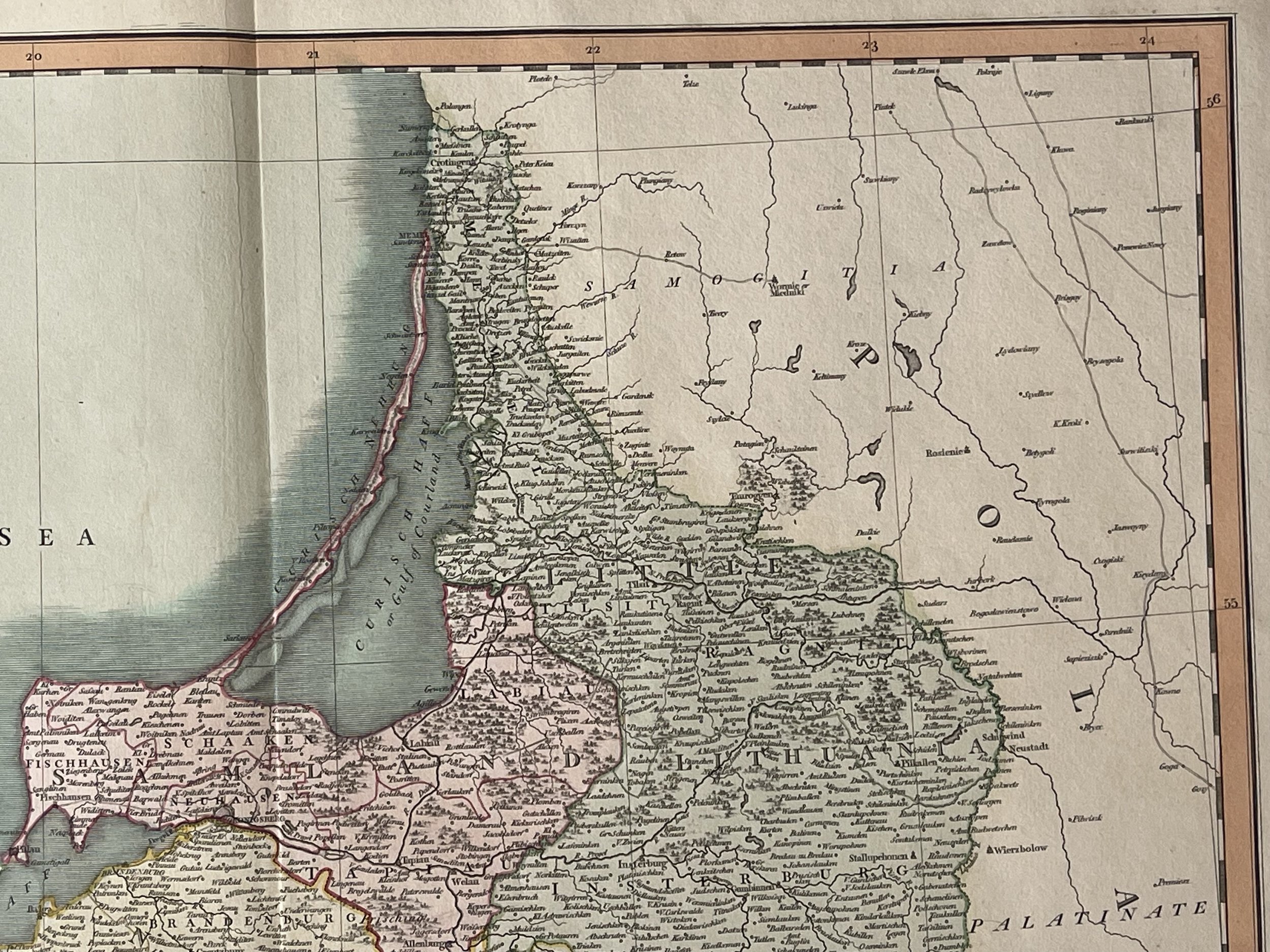
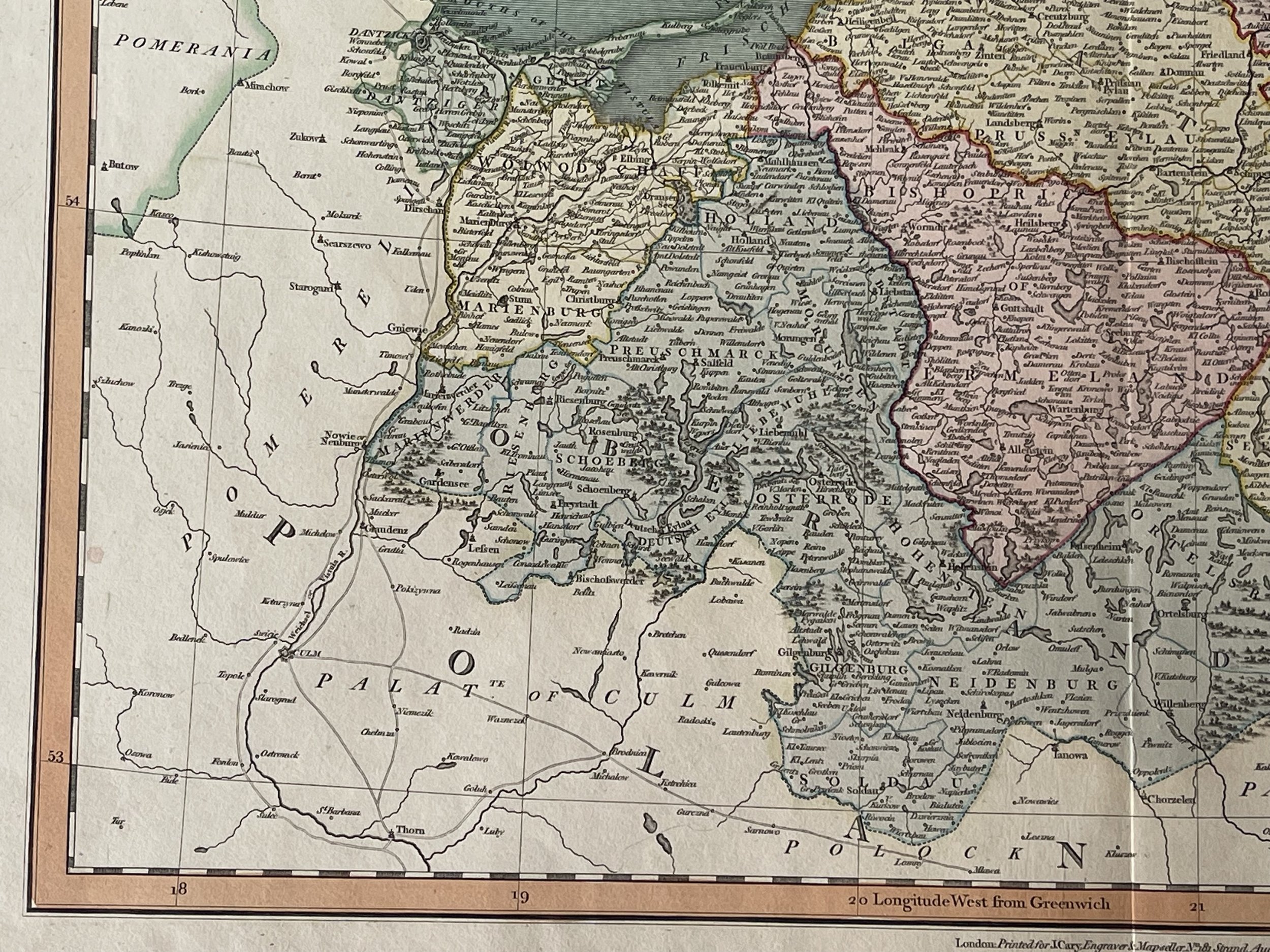
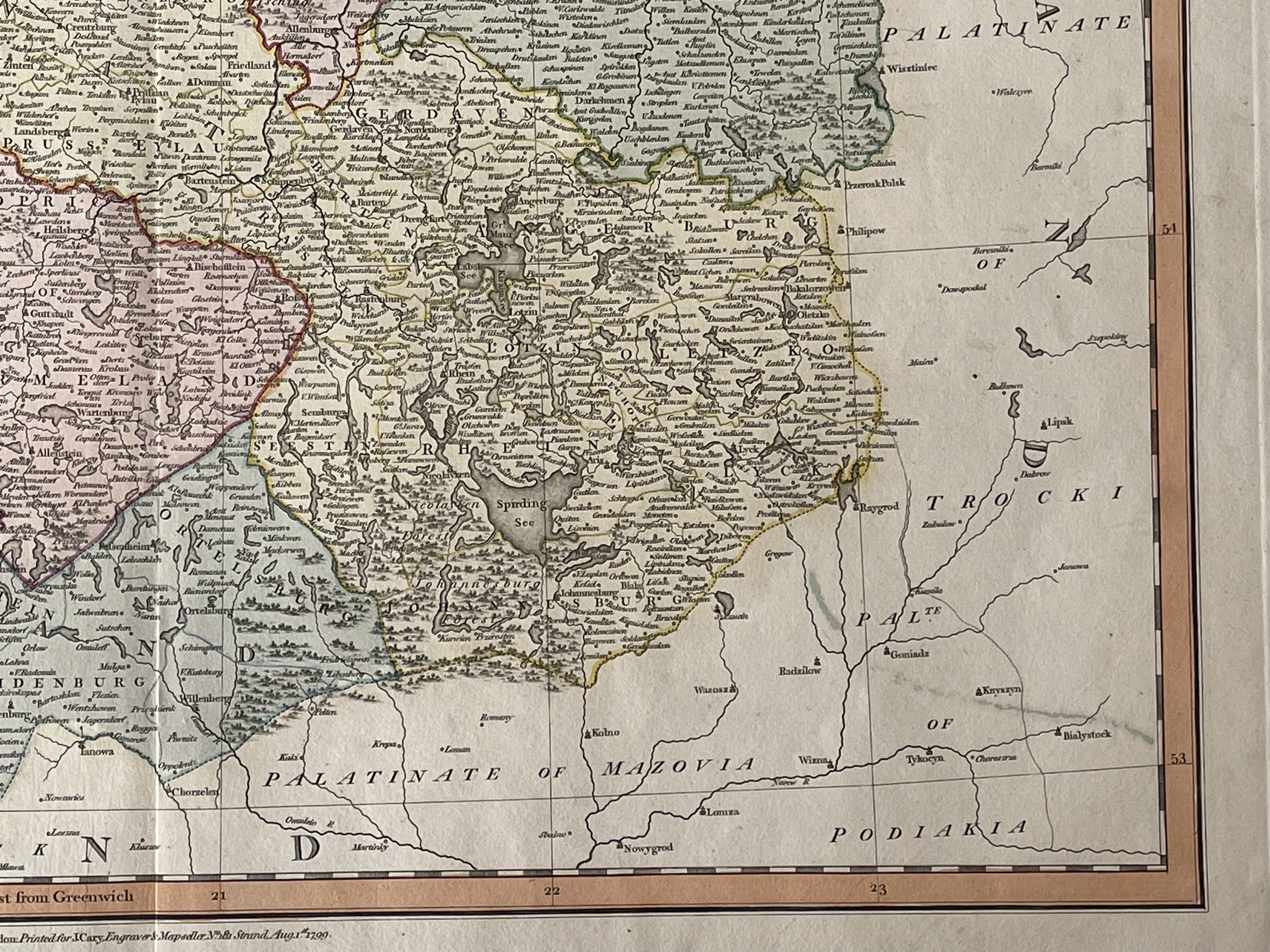
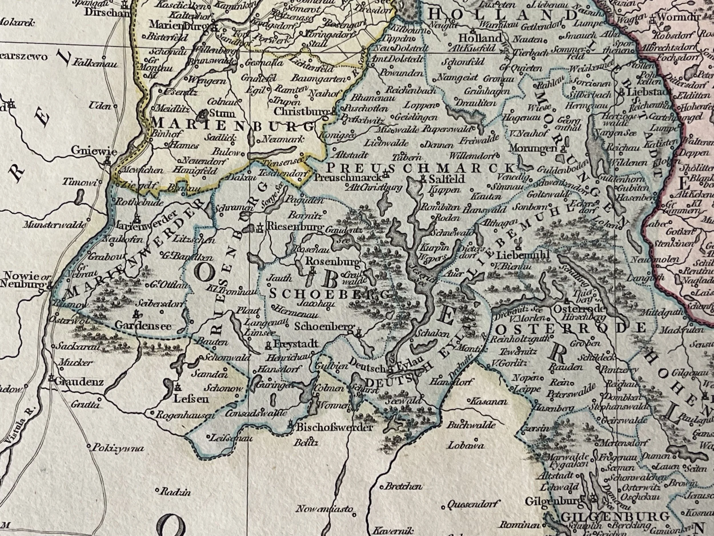
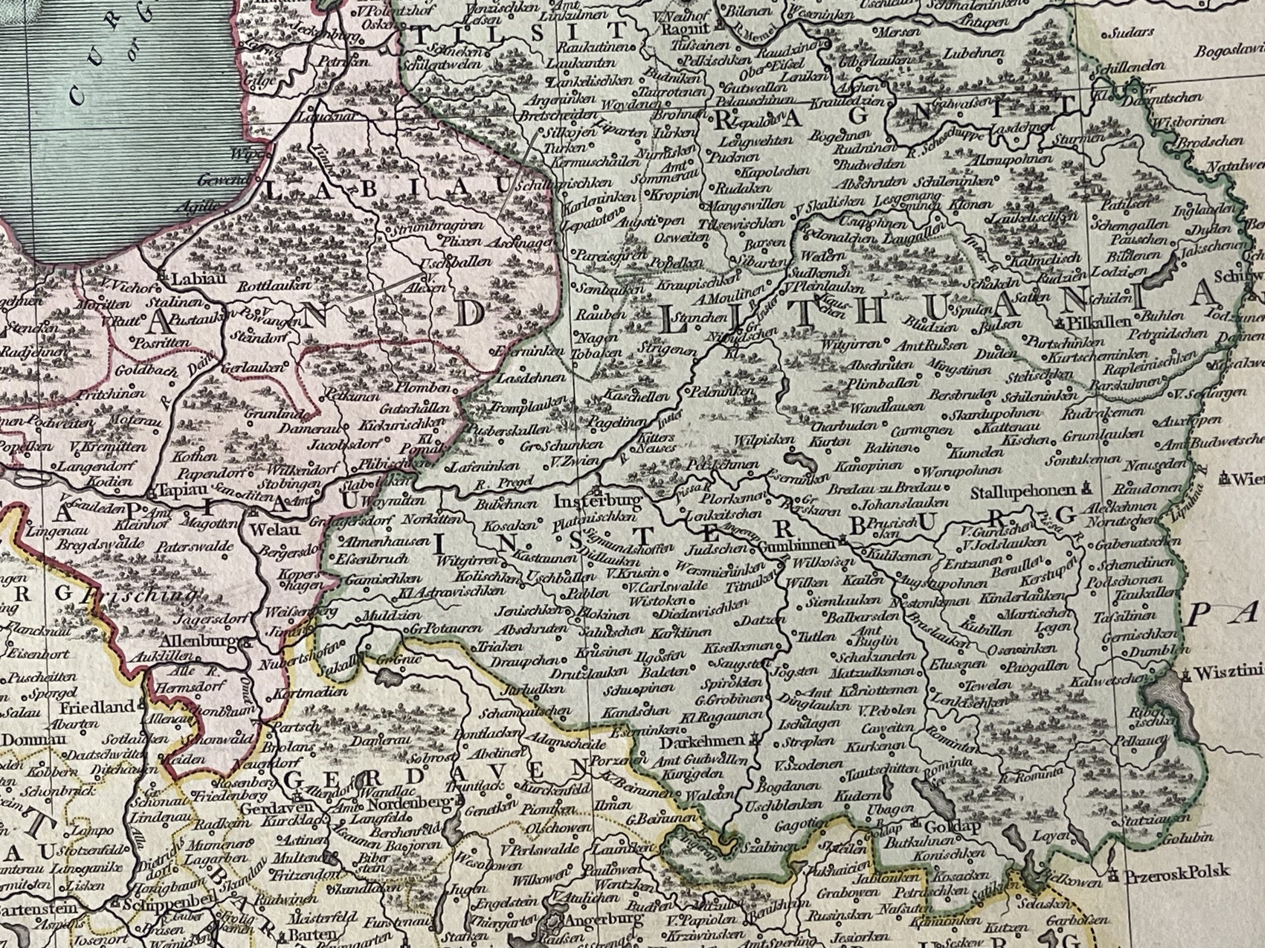
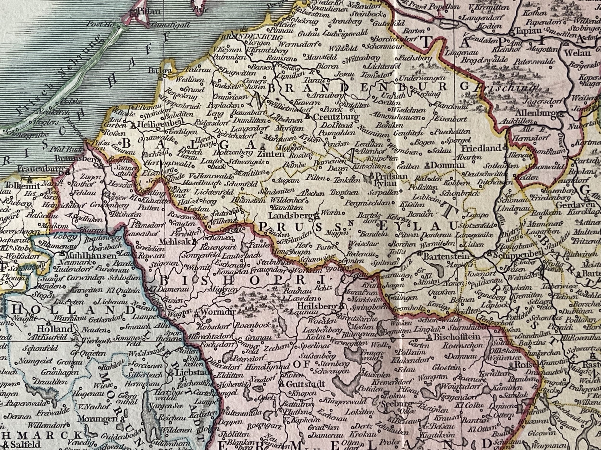
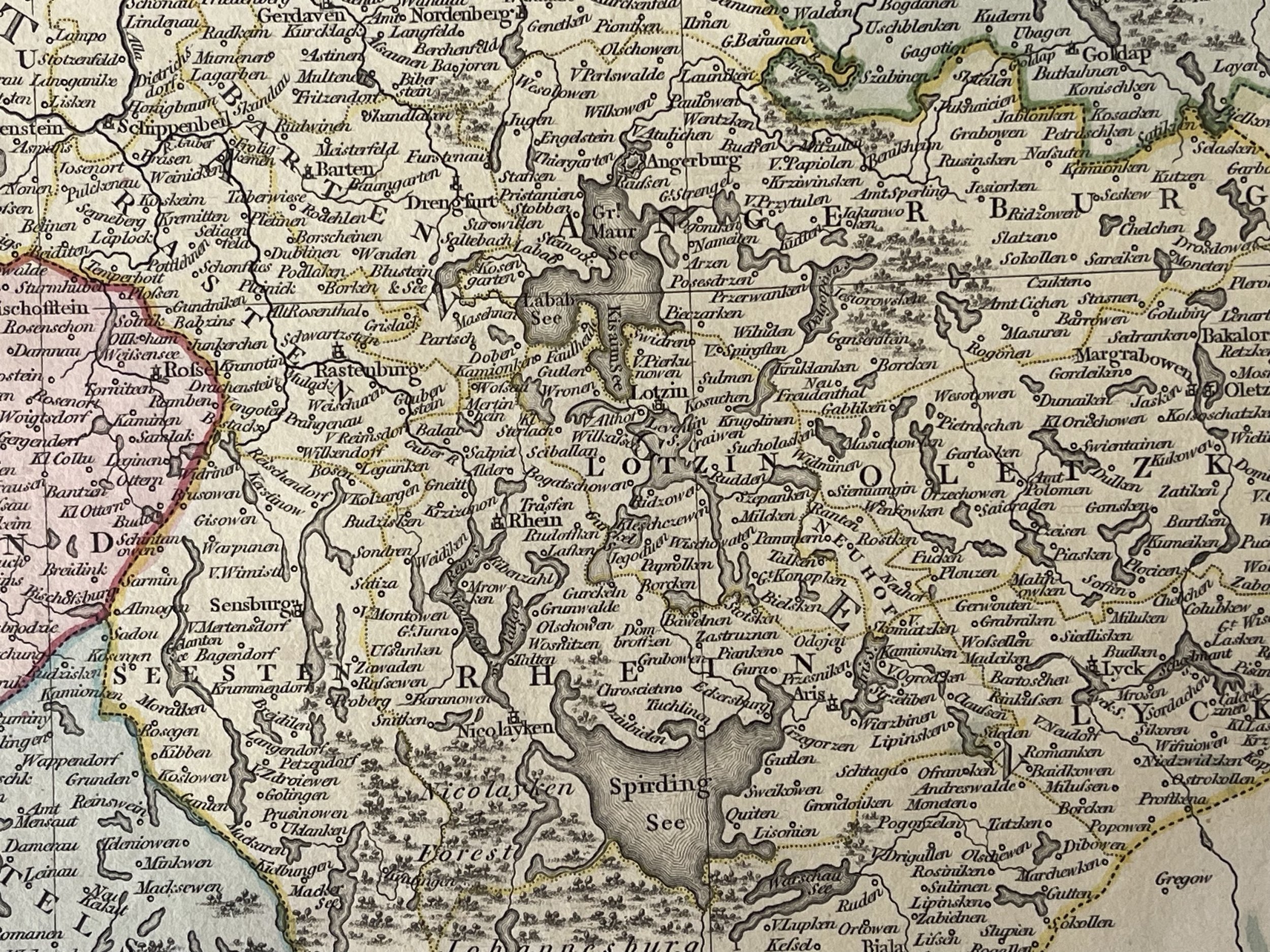
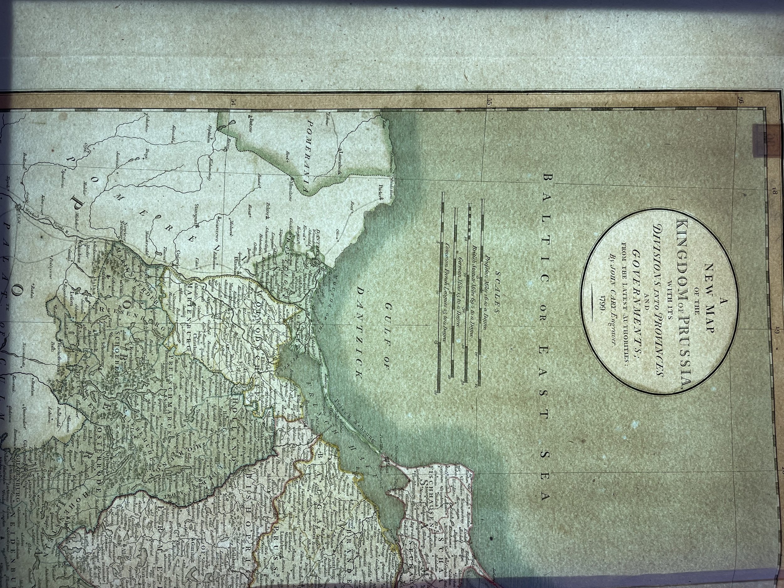
Early edition of Cary's fine map of Prussia, the Gulf of Danzig (Gdansk), parts of Poland until Bialystok, today Kaliningrad, and Lithuania with Memel (Klaipėda). One of the finest english map ever of this area.

Highly detailed regional map of Prussia, including the Baltic regions and part of Poland, from Cary's Universal Atlas, one of the finest atlases of the period.

John Cary (c. 1754 – 1835) was an English cartographer

John Cary served his apprenticeship as an engraver in London, before setting up his own business in the Strand in 1783. He soon gained a reputation for his maps and globes, his atlas, The New and Correct English Atlas published in 1787, becoming a standard reference work in England.

In 1794 Cary was commissioned by the Postmaster General to survey England's roads. This resulted in Cary's New Itinerary (1798), a map of all the major roads in England and Wales. He also produced Ordnance Survey maps prior to 1805.

In his later life he collaborated on geological maps with the geologist William Smith. His business was eventually taken over by G. F. Cruchley (1822–1880).

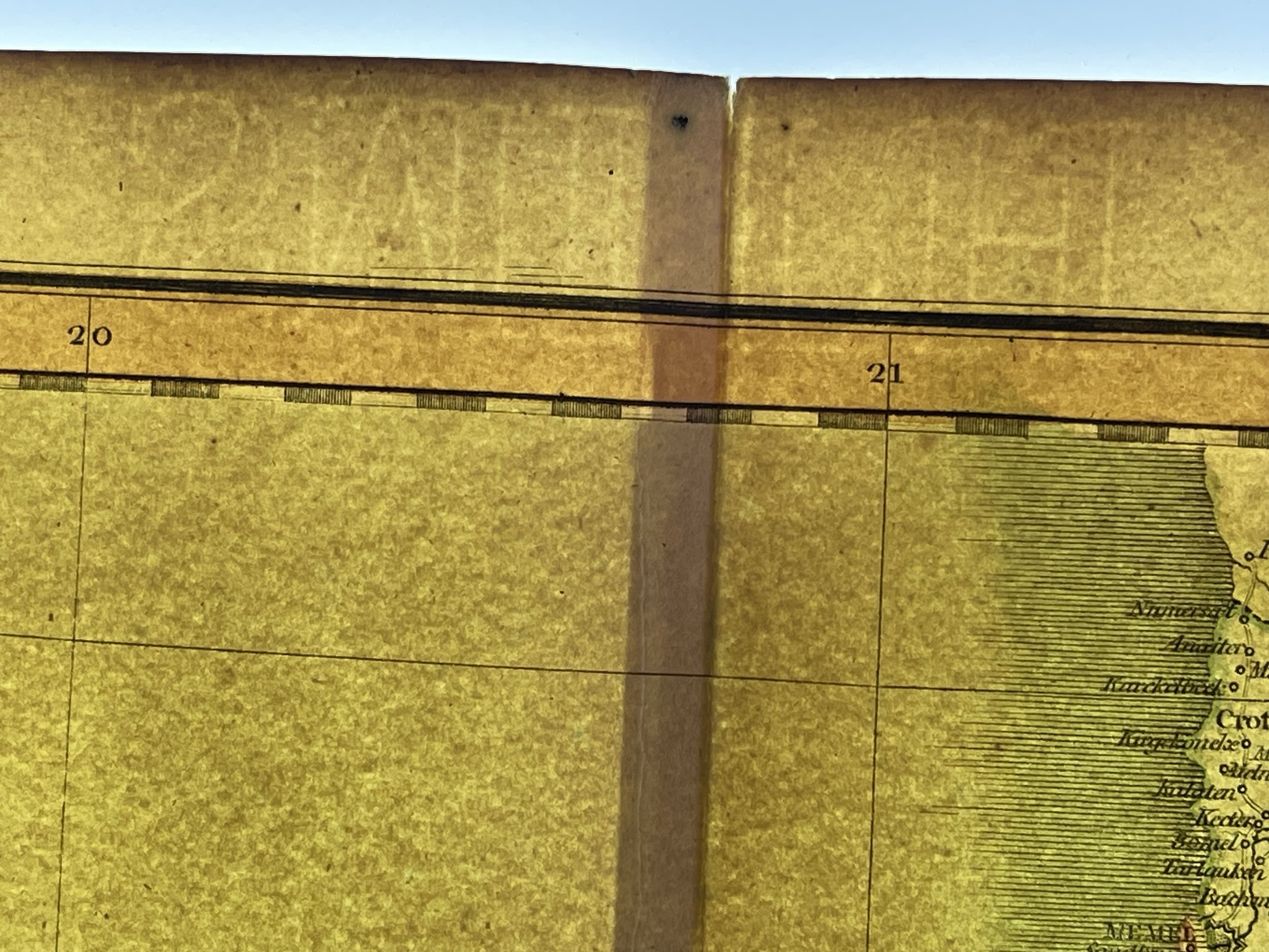
Map in excellent condition with very little flaws. Laid paper has watermarks. Pricing and grading commensurate.

Add To Cart

Early edition of Cary's fine map of Prussia, the Gulf of Danzig (Gdansk), parts of Poland until Bialystok, today Kaliningrad, and Lithuania with Memel (Klaipėda). One of the finest english map ever of this area.

Highly detailed regional map of Prussia, including the Baltic regions and part of Poland, from Cary's Universal Atlas, one of the finest atlases of the period.

John Cary (c. 1754 – 1835) was an English cartographer

John Cary served his apprenticeship as an engraver in London, before setting up his own business in the Strand in 1783. He soon gained a reputation for his maps and globes, his atlas, The New and Correct English Atlas published in 1787, becoming a standard reference work in England.

In 1794 Cary was commissioned by the Postmaster General to survey England's roads. This resulted in Cary's New Itinerary (1798), a map of all the major roads in England and Wales. He also produced Ordnance Survey maps prior to 1805.

In his later life he collaborated on geological maps with the geologist William Smith. His business was eventually taken over by G. F. Cruchley (1822–1880).

Map in excellent condition with very little flaws. Laid paper has watermarks. Pricing and grading commensurate.

Code : A675

Cartographer : Cartographer / Engraver / Publisher: John Cary

Date : Publication Place / Date - Circa 1799

Size : Sheet size: 64 x 53 cm

Availability : Available

Type - Genuine - Antique

Grading A to A+

Where Applicable - Folds as issued. Light box photo shows the folio leaf centre margin hinge ‘glue’, this is not visible otherwise.

Tracked postage, in casement. Please contact me for postal quotation outside of the UK. 

Peninsula Maps & Globes - London England

Made with Squarespace

Contact: pmgmapsandglobes01@gmail.com